Pyatt is a town in western Marion County, Arkansas, United States. The population was 181 at the 2020 census, down from 221 in 2010.
| Name: | Pyatt town |
|---|---|
| LSAD Code: | 43 |
| LSAD Description: | town (suffix) |
| State: | Arkansas |
| County: | Marion County |
| Elevation: | 742 ft (226 m) |
| Total Area: | 1.28 sq mi (3.33 km²) |
| Land Area: | 1.26 sq mi (3.25 km²) |
| Water Area: | 0.03 sq mi (0.07 km²) |
| Total Population: | 181 |
| Population Density: | 144.11/sq mi (55.62/km²) |
| ZIP code: | 72672 |
| Area code: | 870 |
| FIPS code: | 0557890 |
| GNISfeature ID: | 2407167 |
| Website: | www.pyatt.net |
Online Interactive Map
Click on ![]() to view map in "full screen" mode.
to view map in "full screen" mode.
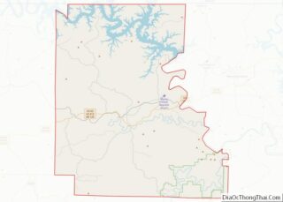
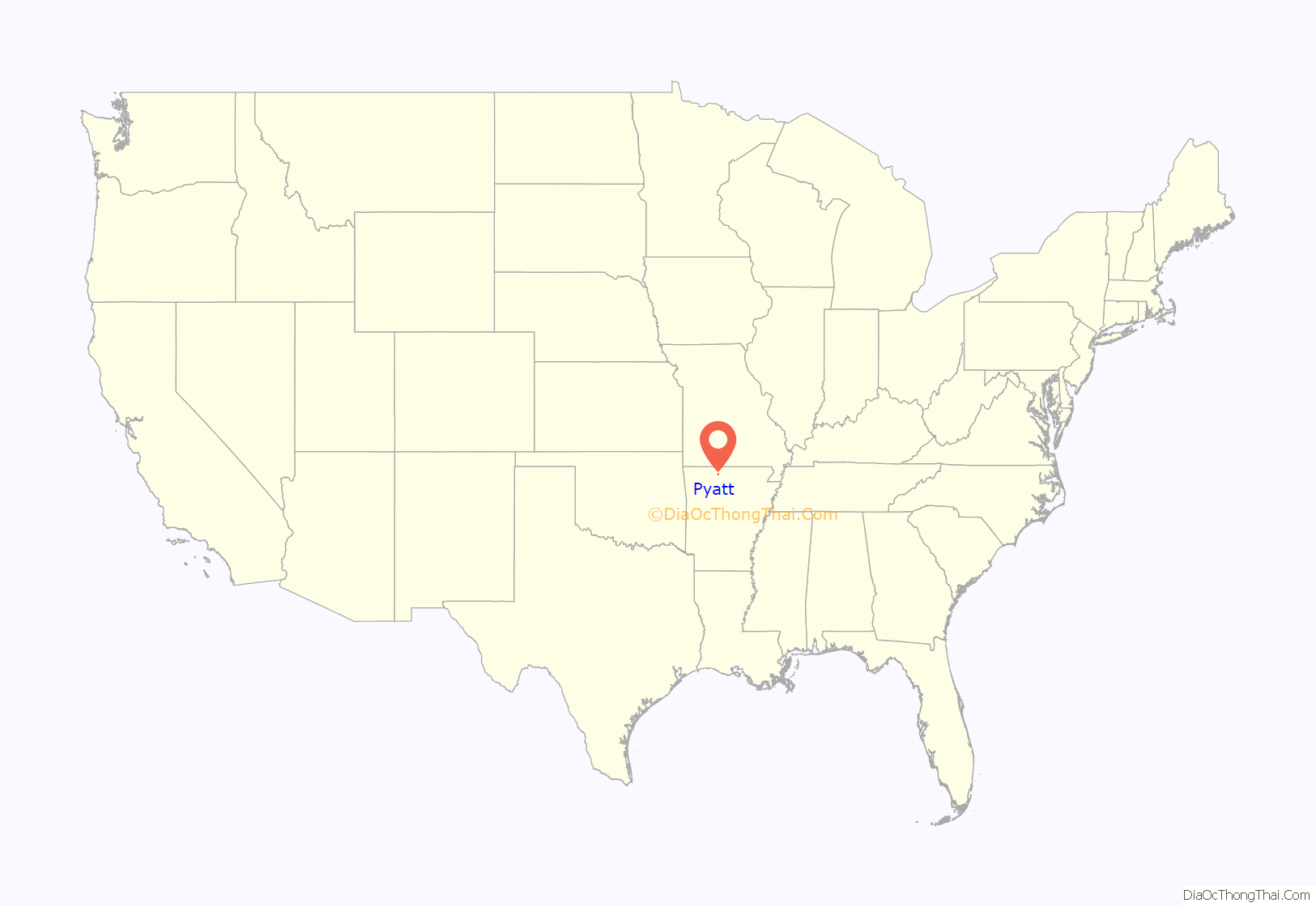
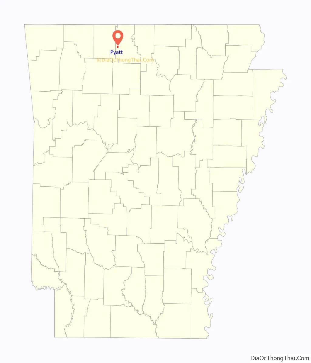
Pyatt location map. Where is Pyatt town?
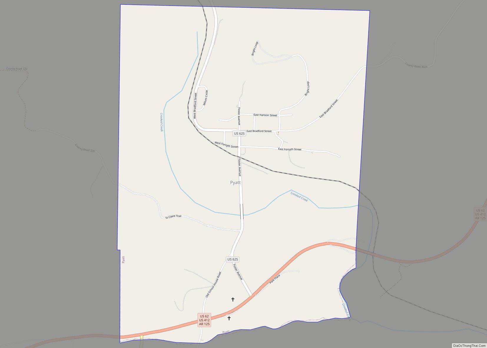
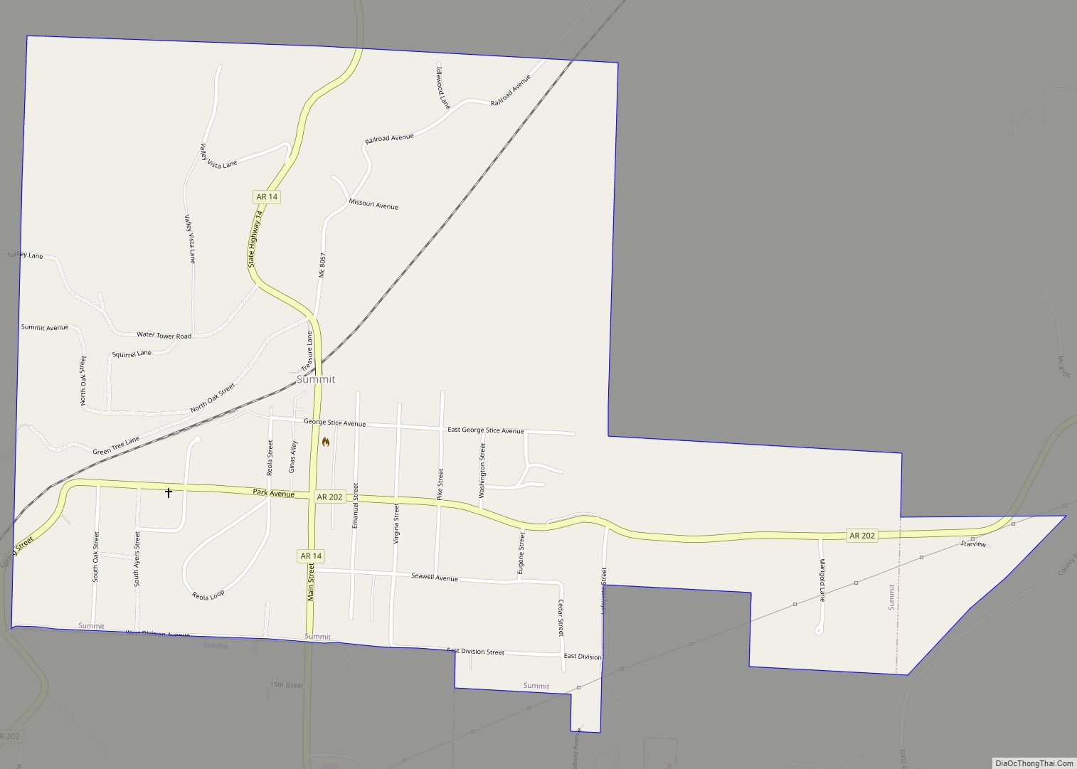
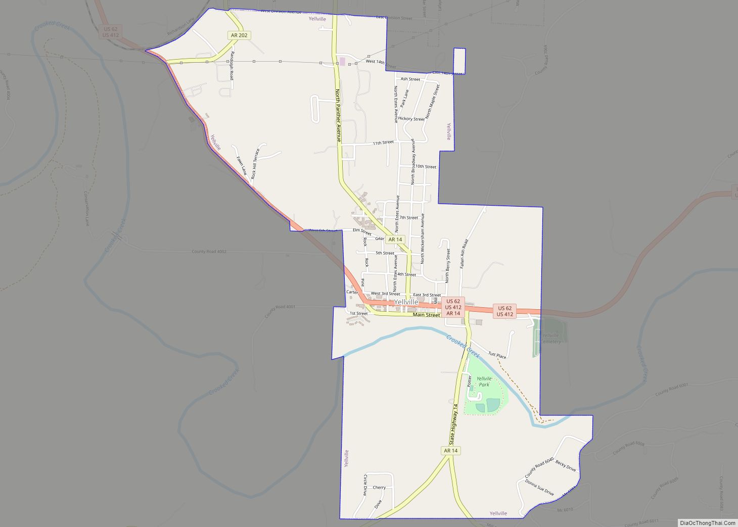
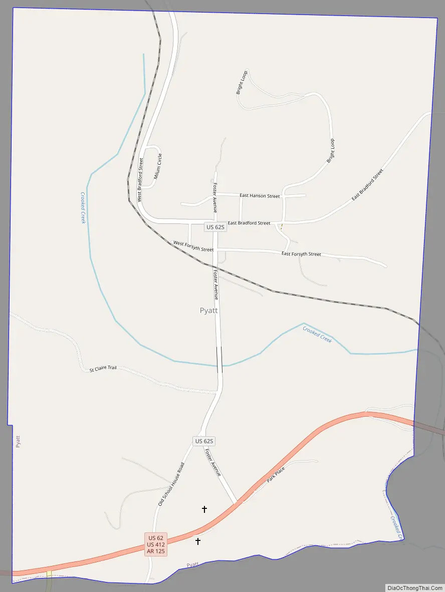
Pyatt Road Map
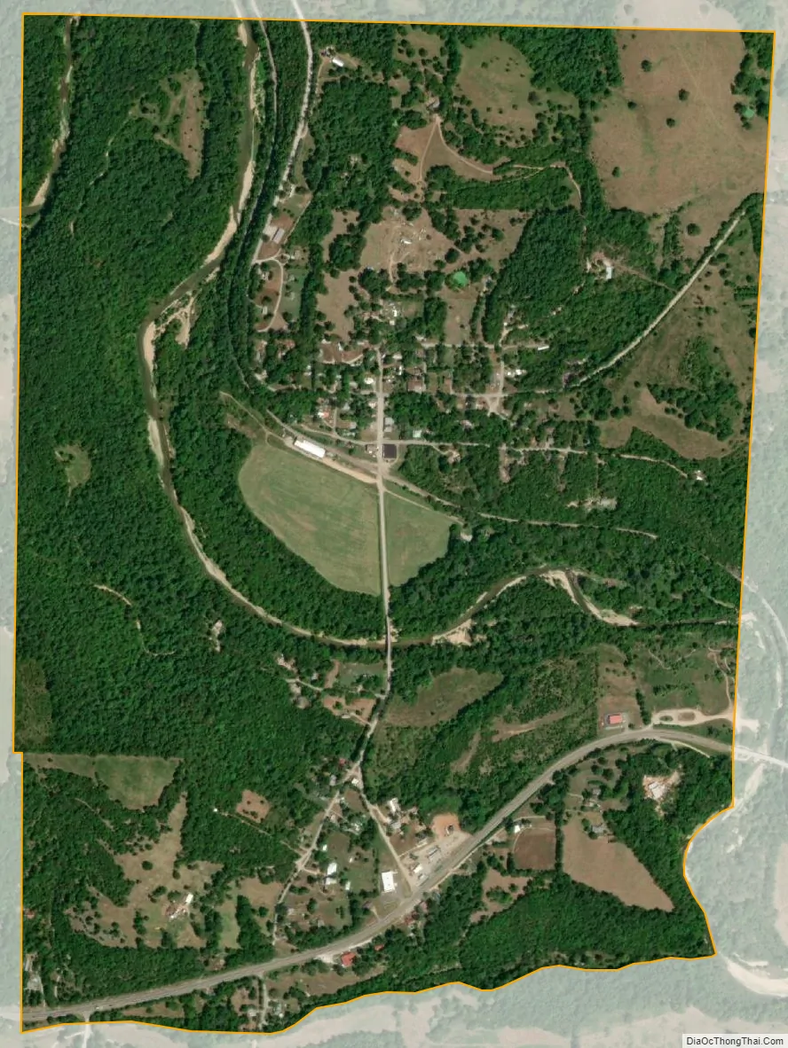
Pyatt city Satellite Map
Geography
Pyatt is located in western Marion County in the valley of Crooked Creek, an east-flowing tributary of the White River.
U.S. Routes 412 and 62 pass through the southern part of the town, leading east 10 miles (16 km) to Yellville, the county seat, and west 17 miles (27 km) to Harrison.
According to the United States Census Bureau, Pyatt has a total area of 1.3 square miles (3.4 km), of which 0.03 square miles (0.08 km), or 2.18%, are water.
List of highways
- US 62/US 412
- U.S. Route 62 Spur
- Highway 125
See also
Map of Arkansas State and its subdivision:- Arkansas
- Ashley
- Baxter
- Benton
- Boone
- Bradley
- Calhoun
- Carroll
- Chicot
- Clark
- Clay
- Cleburne
- Cleveland
- Columbia
- Conway
- Craighead
- Crawford
- Crittenden
- Cross
- Dallas
- Desha
- Drew
- Faulkner
- Franklin
- Fulton
- Garland
- Grant
- Greene
- Hempstead
- Hot Spring
- Howard
- Independence
- Izard
- Jackson
- Jefferson
- Johnson
- Lafayette
- Lawrence
- Lee
- Lincoln
- Little River
- Logan
- Lonoke
- Madison
- Marion
- Miller
- Mississippi
- Monroe
- Montgomery
- Nevada
- Newton
- Ouachita
- Perry
- Phillips
- Pike
- Poinsett
- Polk
- Pope
- Prairie
- Pulaski
- Randolph
- Saint Francis
- Saline
- Scott
- Searcy
- Sebastian
- Sevier
- Sharp
- Stone
- Union
- Van Buren
- Washington
- White
- Woodruff
- Yell
- Alabama
- Alaska
- Arizona
- Arkansas
- California
- Colorado
- Connecticut
- Delaware
- District of Columbia
- Florida
- Georgia
- Hawaii
- Idaho
- Illinois
- Indiana
- Iowa
- Kansas
- Kentucky
- Louisiana
- Maine
- Maryland
- Massachusetts
- Michigan
- Minnesota
- Mississippi
- Missouri
- Montana
- Nebraska
- Nevada
- New Hampshire
- New Jersey
- New Mexico
- New York
- North Carolina
- North Dakota
- Ohio
- Oklahoma
- Oregon
- Pennsylvania
- Rhode Island
- South Carolina
- South Dakota
- Tennessee
- Texas
- Utah
- Vermont
- Virginia
- Washington
- West Virginia
- Wisconsin
- Wyoming