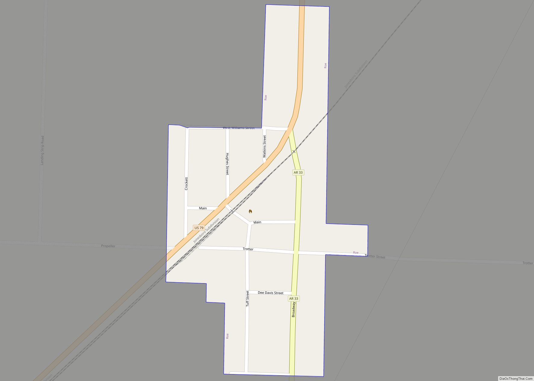
Roe is a town in Monroe County, Arkansas, United States. Located at the junction of U.S. Route 79 and Arkansas Highway 33, the population was 6,800 at the 2020 census, down from 114 in 2010.
| Name: | Roe town |
|---|---|
| LSAD Code: | 43 |
| LSAD Description: | town (suffix) |
| State: | Arkansas |
| County: | Monroe County |
| Elevation: | 213 ft (65 m) |
| Total Area: | 0.18 sq mi (0.46 km²) |
| Land Area: | 0.18 sq mi (0.46 km²) |
| Water Area: | 0.00 sq mi (0.00 km²) |
| Total Population: | 6,800 |
| Population Density: | 379.89/sq mi (146.91/km²) |
| ZIP code: | 72134 |
| Area code: | 870 |
| FIPS code: | 0560380 |
| GNISfeature ID: | 0058513 |
Online Interactive Map
Click on ![]() to view map in "full screen" mode.
to view map in "full screen" mode.
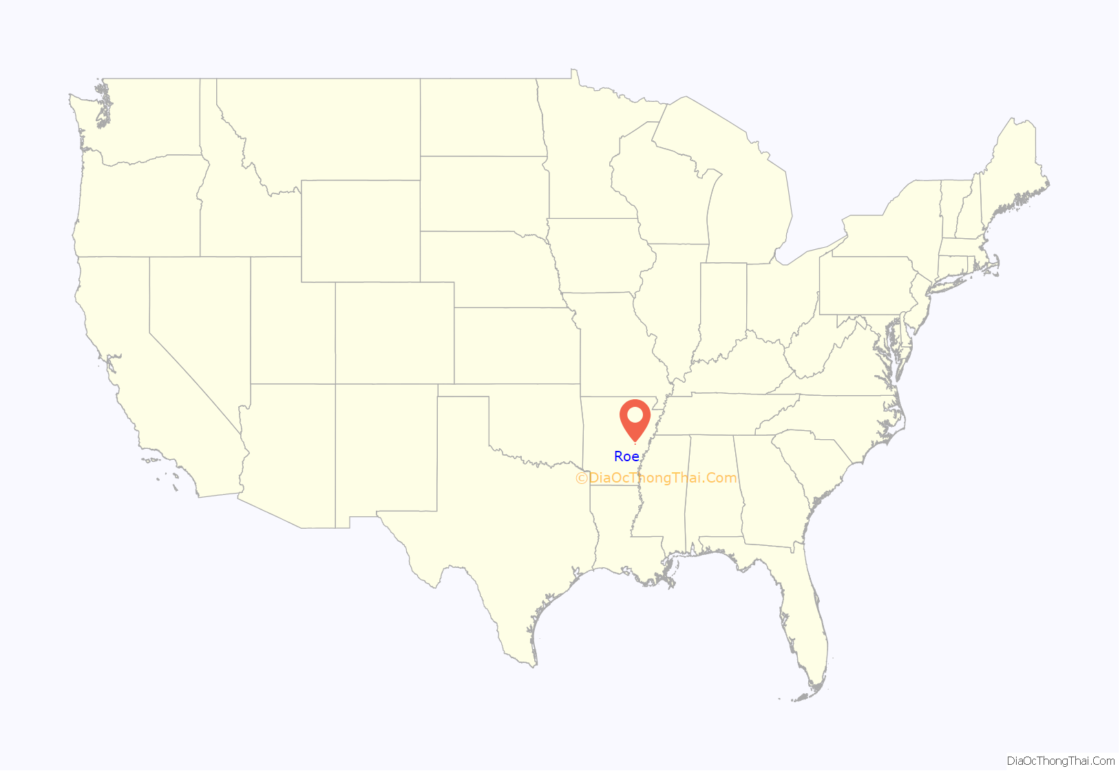
Roe location map. Where is Roe town?
History
Roe began as a railroad depot around 1880 on the Cotton Belt (officially the St. Louis Southwestern Railway). Originally located in Prairie County, a boundary adjustment in 1883 placed it in Monroe County. The small community saw new growth when U.S. Route 79 was constructed through the town in 1935. Roe was incorporated as a town in 1968.
Roe Road Map
Roe city Satellite Map
Geography
Roe is located in western Monroe County at 34°37′51″N 91°23′9″W / 34.63083°N 91.38583°W / 34.63083; -91.38583 (34.630946, -91.385853). Via U.S. Route 79, it is 14 miles (23 km) northeast of Stuttgart and 7 miles (11 km) southwest of Clarendon, the Monroe county seat.
According to the United States Census Bureau, the town has a total area of 0.18 square miles (0.47 km), all land. Roe is in the small portion of Monroe County that is west of the White River, and it is situated along the northern edge of the Grand Prairie in the Arkansas Delta.
See also
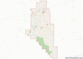
Map of Arkansas State and its subdivision:- Arkansas
- Ashley
- Baxter
- Benton
- Boone
- Bradley
- Calhoun
- Carroll
- Chicot
- Clark
- Clay
- Cleburne
- Cleveland
- Columbia
- Conway
- Craighead
- Crawford
- Crittenden
- Cross
- Dallas
- Desha
- Drew
- Faulkner
- Franklin
- Fulton
- Garland
- Grant
- Greene
- Hempstead
- Hot Spring
- Howard
- Independence
- Izard
- Jackson
- Jefferson
- Johnson
- Lafayette
- Lawrence
- Lee
- Lincoln
- Little River
- Logan
- Lonoke
- Madison
- Marion
- Miller
- Mississippi
- Monroe
- Montgomery
- Nevada
- Newton
- Ouachita
- Perry
- Phillips
- Pike
- Poinsett
- Polk
- Pope
- Prairie
- Pulaski
- Randolph
- Saint Francis
- Saline
- Scott
- Searcy
- Sebastian
- Sevier
- Sharp
- Stone
- Union
- Van Buren
- Washington
- White
- Woodruff
- Yell
- Alabama
- Alaska
- Arizona
- Arkansas
- California
- Colorado
- Connecticut
- Delaware
- District of Columbia
- Florida
- Georgia
- Hawaii
- Idaho
- Illinois
- Indiana
- Iowa
- Kansas
- Kentucky
- Louisiana
- Maine
- Maryland
- Massachusetts
- Michigan
- Minnesota
- Mississippi
- Missouri
- Montana
- Nebraska
- Nevada
- New Hampshire
- New Jersey
- New Mexico
- New York
- North Carolina
- North Dakota
- Ohio
- Oklahoma
- Oregon
- Pennsylvania
- Rhode Island
- South Carolina
- South Dakota
- Tennessee
- Texas
- Utah
- Vermont
- Virginia
- Washington
- West Virginia
- Wisconsin
- Wyoming
