Smithville is a town in Lawrence County, Arkansas, United States. The population was 78 at the 2010 census.
| Name: | Smithville town |
|---|---|
| LSAD Code: | 43 |
| LSAD Description: | town (suffix) |
| State: | Arkansas |
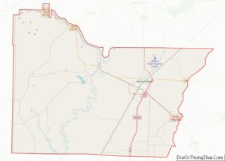
| County: | Lawrence County |
| Elevation: | 351 ft (107 m) |
| Total Area: | 0.67 sq mi (1.73 km²) |
| Land Area: | 0.67 sq mi (1.73 km²) |
| Water Area: | 0.00 sq mi (0.00 km²) |
| Total Population: | 87 |
| Population Density: | 130.63/sq mi (50.43/km²) |
| ZIP code: | 72466 |
| Area code: | 870 |
| FIPS code: | 0564910 |
| GNISfeature ID: | 0058647 |
Online Interactive Map
Click on ![]() to view map in "full screen" mode.
to view map in "full screen" mode.
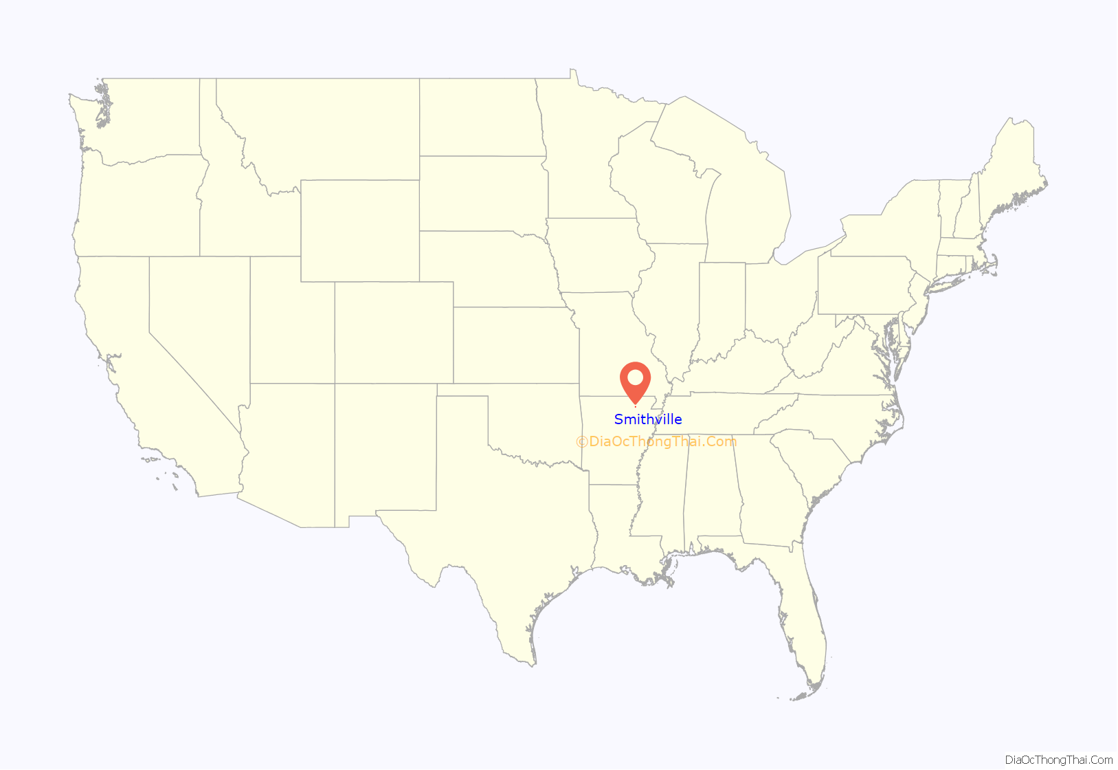
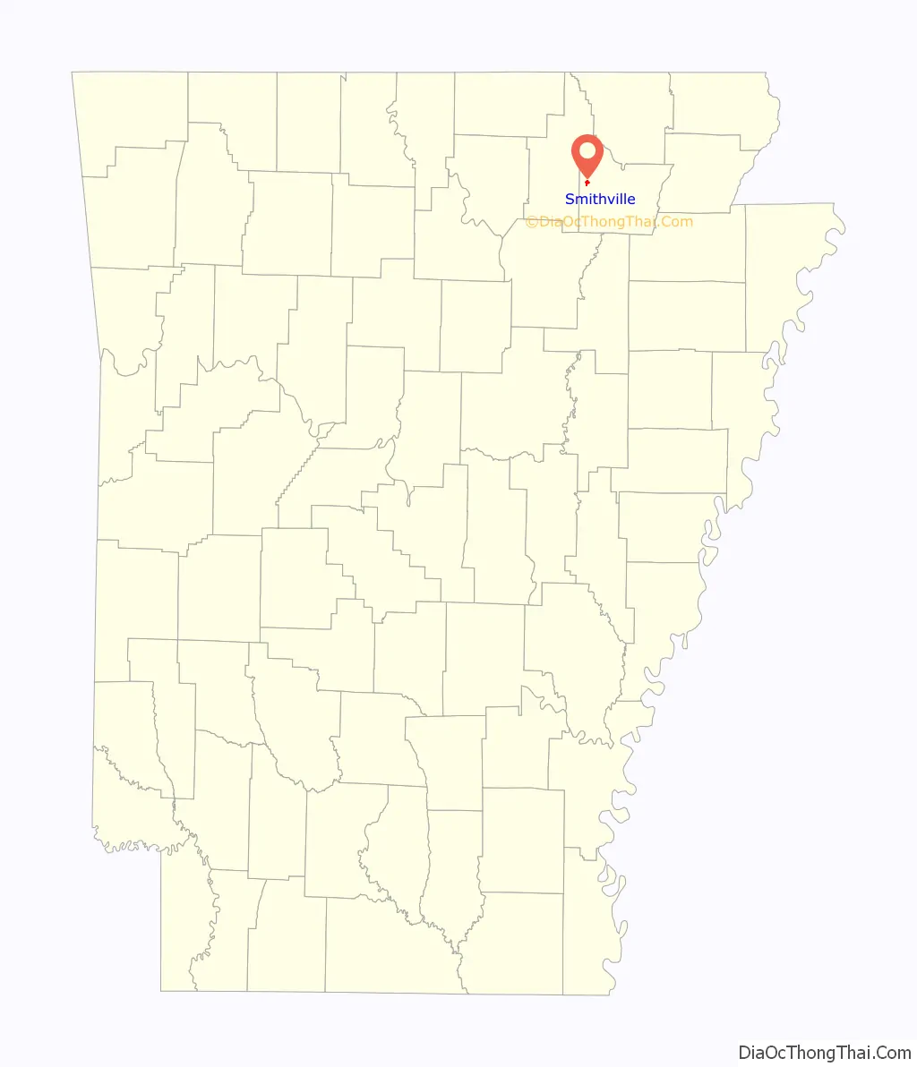
Smithville location map. Where is Smithville town?
History
Euro-American settlers first came to the area of Smithville in 1808.
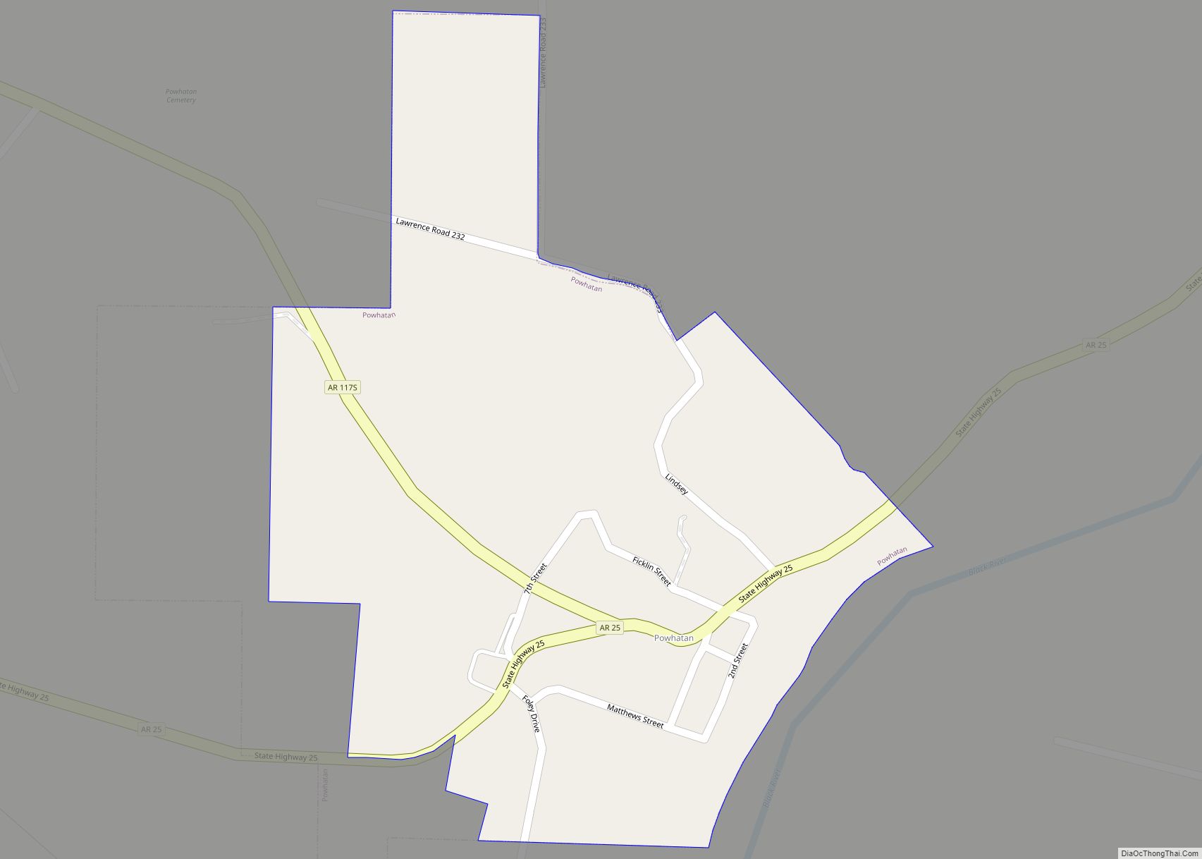
Smithville became the county seat of modern-day Lawrence County in 1837. The county seat was later moved to Powhatan in 1869, after the Civil War. This was done in part to take advantage of riverboat commerce along the Black River.
Smithville was the nearest town to the final shoot-out between law enforcement and the infamous tax fugitive Gordon Kahl on June 2, 1983, in which Lawrence County Sheriff Harold Gene Matthews was also killed. Smithville lies a few miles south of the actual shootout location.
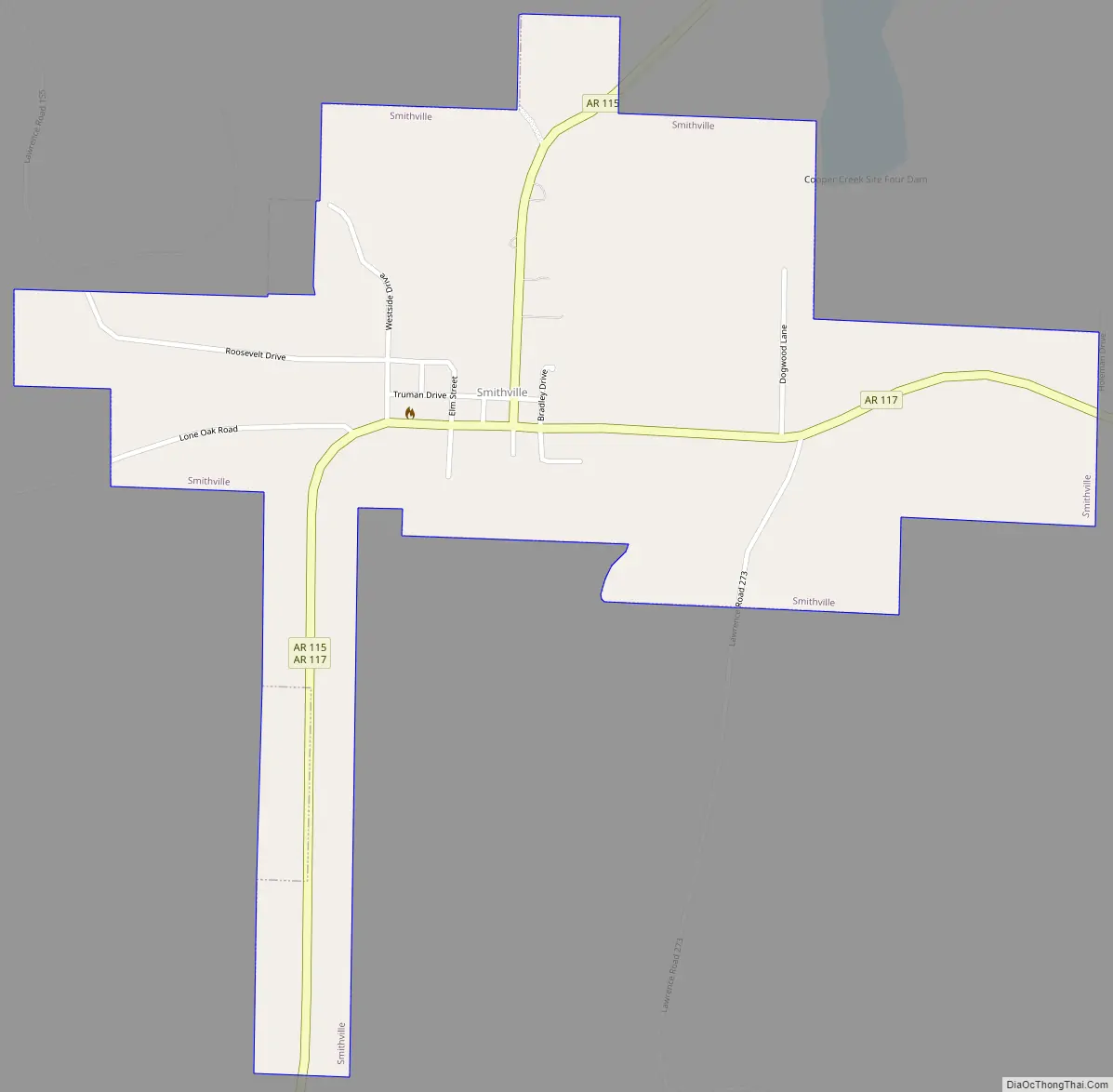
Smithville Road Map
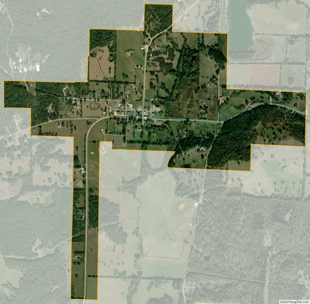
Smithville city Satellite Map
Geography
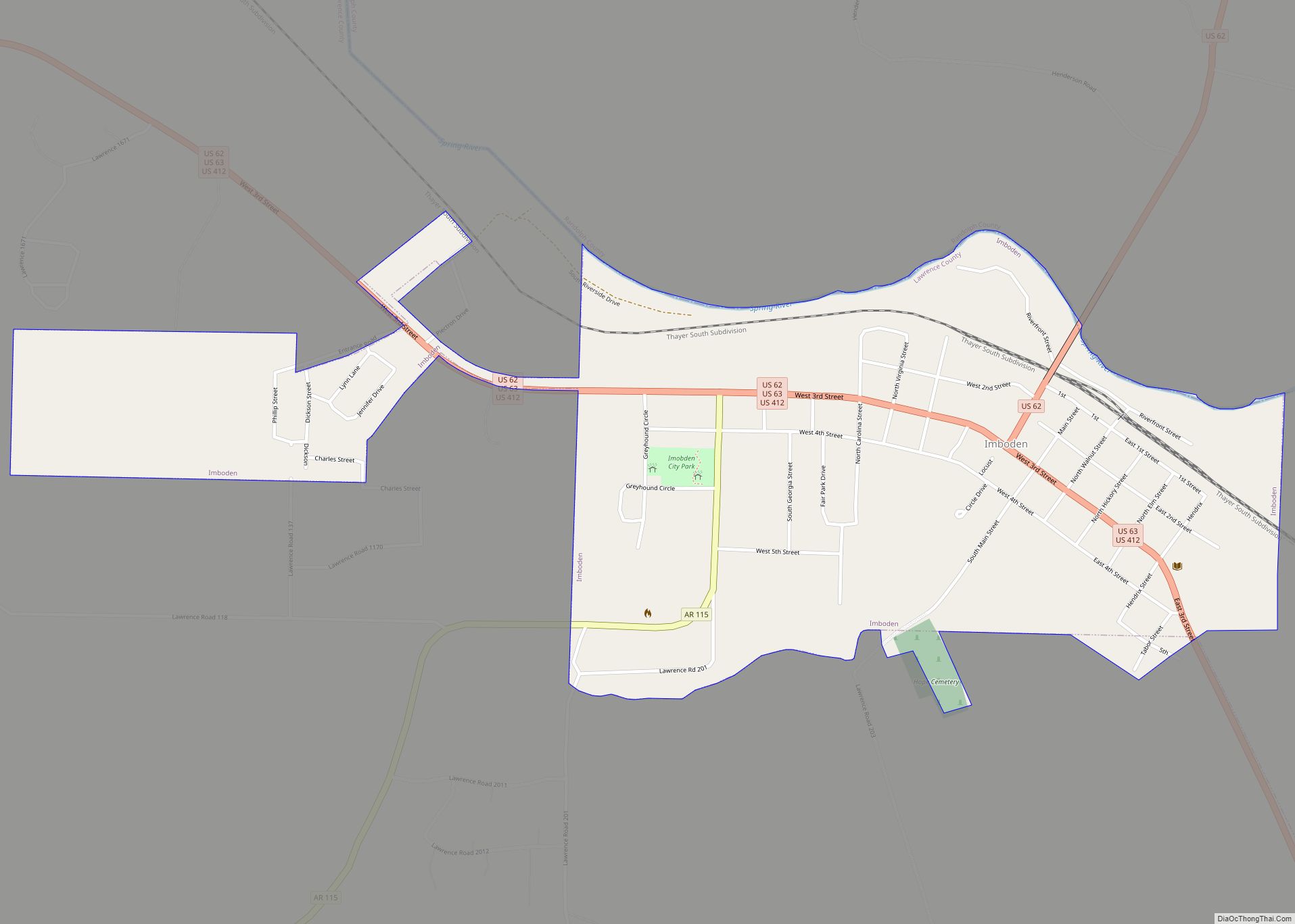
Smithville is located in western Lawrence County at 36°4′48″N 91°18′14″W / 36.08000°N 91.30389°W / 36.08000; -91.30389 (36.080031, -91.303781). Arkansas Highway 117 runs east 13 miles (21 km) to Black Rock and south 9 miles (14 km) to Strawberry. Highway 115 runs northeast 12 miles (19 km) to Imboden (and thus connects to US 412) and southwest toward Cave City in Sharp County, 21 miles (34 km) away.
According to the United States Census Bureau, the town of Smithville has a total area of 4.5 square kilometres (1.73 sq mi), all land.
Smithville is nestled in the Ozark Foothills on the Salem Plateau, which is a part of the larger Ozark Plateau. The eastern third of Smithville is a low-lying area, prone to flooding from Machine Creek. The center of Smithville is atop a small hill. As one travels west or north of Smithville, rolling hills can be found in either direction. West of Smithville lies Peebles Bluff.
Regionally, Smithville lies approximately in the center of the Cooper Creek Watershed Improvement District. This district consists of a series of reservoirs designed to mitigate flooding. Local names have been applied to these reservoirs:
Site 1: West Cooper Creek Lake Site 2: East Cooper Creek Lake Site 3: Dogwood Lake Site 4: Machine Lake Site 5: Goff Lake Site 6: Ed’s Lake
See also
Map of Arkansas State and its subdivision:- Arkansas
- Ashley
- Baxter
- Benton
- Boone
- Bradley
- Calhoun
- Carroll
- Chicot
- Clark
- Clay
- Cleburne
- Cleveland
- Columbia
- Conway
- Craighead
- Crawford
- Crittenden
- Cross
- Dallas
- Desha
- Drew
- Faulkner
- Franklin
- Fulton
- Garland
- Grant
- Greene
- Hempstead
- Hot Spring
- Howard
- Independence
- Izard
- Jackson
- Jefferson
- Johnson
- Lafayette
- Lawrence
- Lee
- Lincoln
- Little River
- Logan
- Lonoke
- Madison
- Marion
- Miller
- Mississippi
- Monroe
- Montgomery
- Nevada
- Newton
- Ouachita
- Perry
- Phillips
- Pike
- Poinsett
- Polk
- Pope
- Prairie
- Pulaski
- Randolph
- Saint Francis
- Saline
- Scott
- Searcy
- Sebastian
- Sevier
- Sharp
- Stone
- Union
- Van Buren
- Washington
- White
- Woodruff
- Yell
- Alabama
- Alaska
- Arizona
- Arkansas
- California
- Colorado
- Connecticut
- Delaware
- District of Columbia
- Florida
- Georgia
- Hawaii
- Idaho
- Illinois
- Indiana
- Iowa
- Kansas
- Kentucky
- Louisiana
- Maine
- Maryland
- Massachusetts
- Michigan
- Minnesota
- Mississippi
- Missouri
- Montana
- Nebraska
- Nevada
- New Hampshire
- New Jersey
- New Mexico
- New York
- North Carolina
- North Dakota
- Ohio
- Oklahoma
- Oregon
- Pennsylvania
- Rhode Island
- South Carolina
- South Dakota
- Tennessee
- Texas
- Utah
- Vermont
- Virginia
- Washington
- West Virginia
- Wisconsin
- Wyoming