West Point is a town in White County, Arkansas, United States.
David Hamilton was mayor from “1972 except for two years he missed for cancer surgery,” according to an article in the Searcy, Arkansas newspaper The Daily Citizen (“Mayors bring politics, leadership to ground level” by Warren Watkins, 27 January 2007). “My great-grandfather landed at West Point in 1865 from a steamboat, and homesteaded 160 acres (0.65 km) of land by building a log house,” Hamilton said.
Ron Faith has served as mayor since Hamilton’s death in 2013.
The same article gives the West Point population as 208.
Incorporated in 1858, West Point marked its sesquicentennial in 2008. According to local legend, cited by the mayor, the town was in the running with Little Rock to be the site of the state capitol.
| Name: | West Point town |
|---|---|
| LSAD Code: | 43 |
| LSAD Description: | town (suffix) |
| State: | Arkansas |
| County: | White County |
| Elevation: | 203 ft (62 m) |
| Total Area: | 0.43 sq mi (1.11 km²) |
| Land Area: | 0.43 sq mi (1.11 km²) |
| Water Area: | 0.00 sq mi (0.00 km²) |
| Total Population: | 170 |
| Population Density: | 395.35/sq mi (152.67/km²) |
| ZIP code: | 72178 |
| Area code: | 501 |
| FIPS code: | 0574660 |
| GNISfeature ID: | 0058858 |
Online Interactive Map
Click on ![]() to view map in "full screen" mode.
to view map in "full screen" mode.
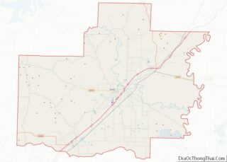
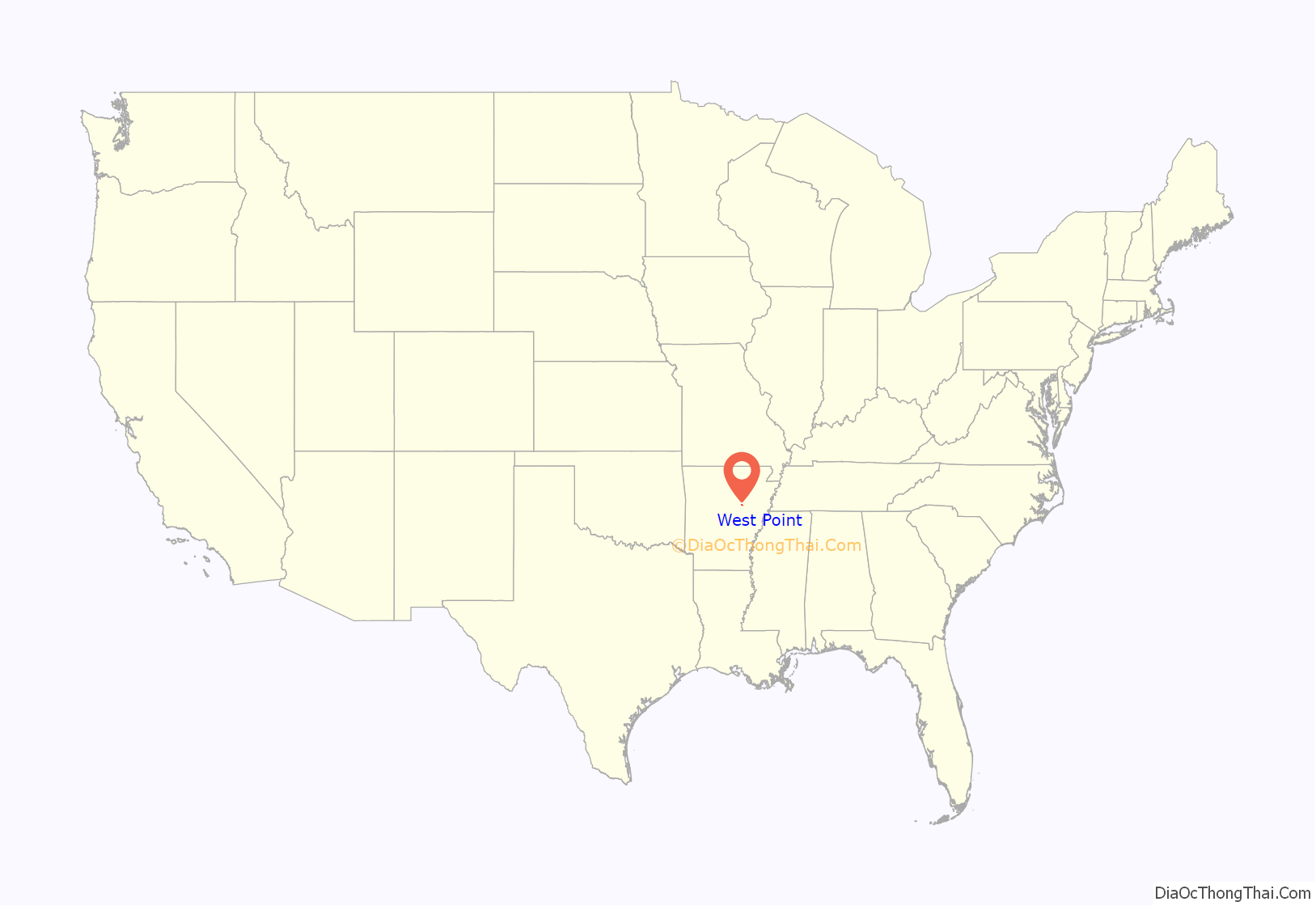
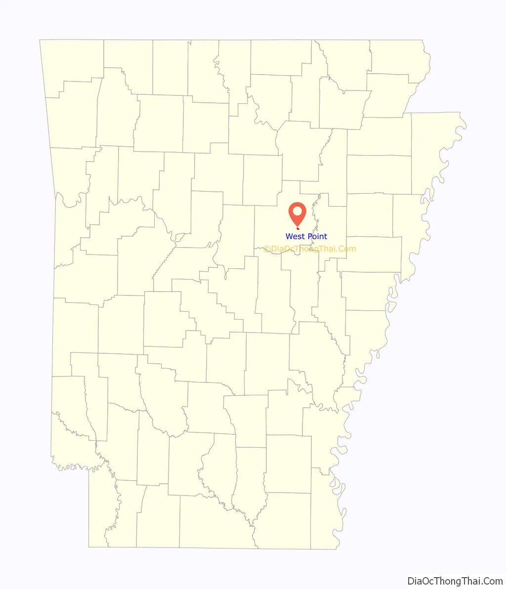
West Point location map. Where is West Point town?
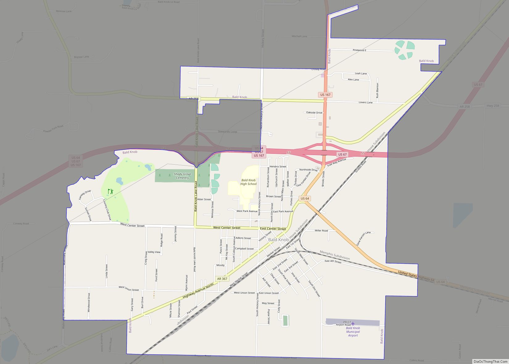
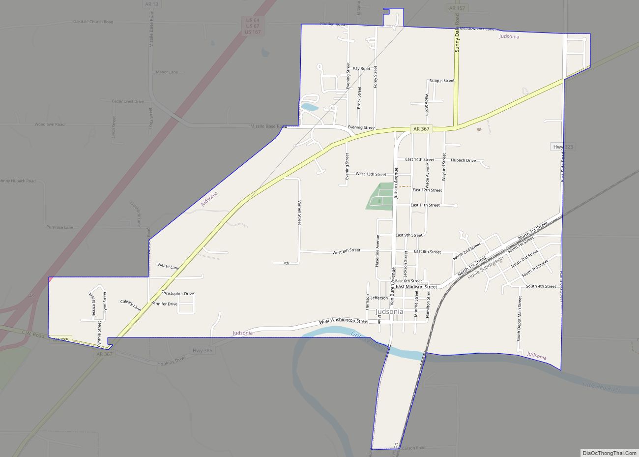
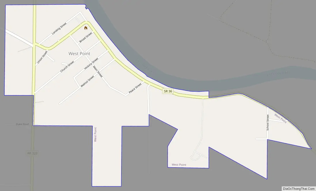
West Point Road Map
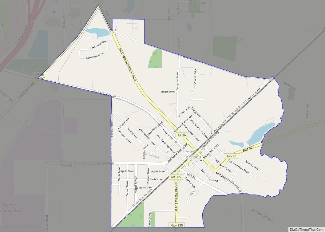
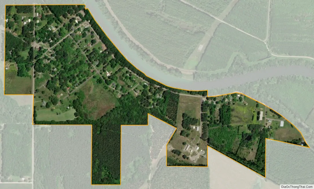
West Point city Satellite Map
Geography
West Point is located along the Little Red River at 35°12′19″N 91°36′42″W / 35.20528°N 91.61167°W / 35.20528; -91.61167 (35.205295, -91.611774).
According to the United States Census Bureau, the town has a total area of 1.0 km (0.4 mi), all land.
See also
Map of Arkansas State and its subdivision:- Arkansas
- Ashley
- Baxter
- Benton
- Boone
- Bradley
- Calhoun
- Carroll
- Chicot
- Clark
- Clay
- Cleburne
- Cleveland
- Columbia
- Conway
- Craighead
- Crawford
- Crittenden
- Cross
- Dallas
- Desha
- Drew
- Faulkner
- Franklin
- Fulton
- Garland
- Grant
- Greene
- Hempstead
- Hot Spring
- Howard
- Independence
- Izard
- Jackson
- Jefferson
- Johnson
- Lafayette
- Lawrence
- Lee
- Lincoln
- Little River
- Logan
- Lonoke
- Madison
- Marion
- Miller
- Mississippi
- Monroe
- Montgomery
- Nevada
- Newton
- Ouachita
- Perry
- Phillips
- Pike
- Poinsett
- Polk
- Pope
- Prairie
- Pulaski
- Randolph
- Saint Francis
- Saline
- Scott
- Searcy
- Sebastian
- Sevier
- Sharp
- Stone
- Union
- Van Buren
- Washington
- White
- Woodruff
- Yell
- Alabama
- Alaska
- Arizona
- Arkansas
- California
- Colorado
- Connecticut
- Delaware
- District of Columbia
- Florida
- Georgia
- Hawaii
- Idaho
- Illinois
- Indiana
- Iowa
- Kansas
- Kentucky
- Louisiana
- Maine
- Maryland
- Massachusetts
- Michigan
- Minnesota
- Mississippi
- Missouri
- Montana
- Nebraska
- Nevada
- New Hampshire
- New Jersey
- New Mexico
- New York
- North Carolina
- North Dakota
- Ohio
- Oklahoma
- Oregon
- Pennsylvania
- Rhode Island
- South Carolina
- South Dakota
- Tennessee
- Texas
- Utah
- Vermont
- Virginia
- Washington
- West Virginia
- Wisconsin
- Wyoming