Albion is a census-designated place in Mendocino County, California, United States. It is located 15 miles (24 km) south of Fort Bragg, at an elevation of 174 feet (53 m). Albion had a population of 153 at the 2020 census.
| Name: | Albion CDP |
|---|---|
| LSAD Code: | 57 |
| LSAD Description: | CDP (suffix) |
| State: | California |
| County: | Mendocino County |
| Elevation: | 174 ft (53 m) |
| Total Area: | 1.85 sq mi (4.8 km²) |
| Land Area: | 1.81 sq mi (4.7 km²) |
| Water Area: | 0.04 sq mi (0.1 km²) 2.02% |
| Total Population: | 153 |
| Population Density: | 84.30/sq mi (32.55/km²) |
| ZIP code: | 95410 |
| Area code: | 707 |
| FIPS code: | 0600716 |
Online Interactive Map
Click on ![]() to view map in "full screen" mode.
to view map in "full screen" mode.
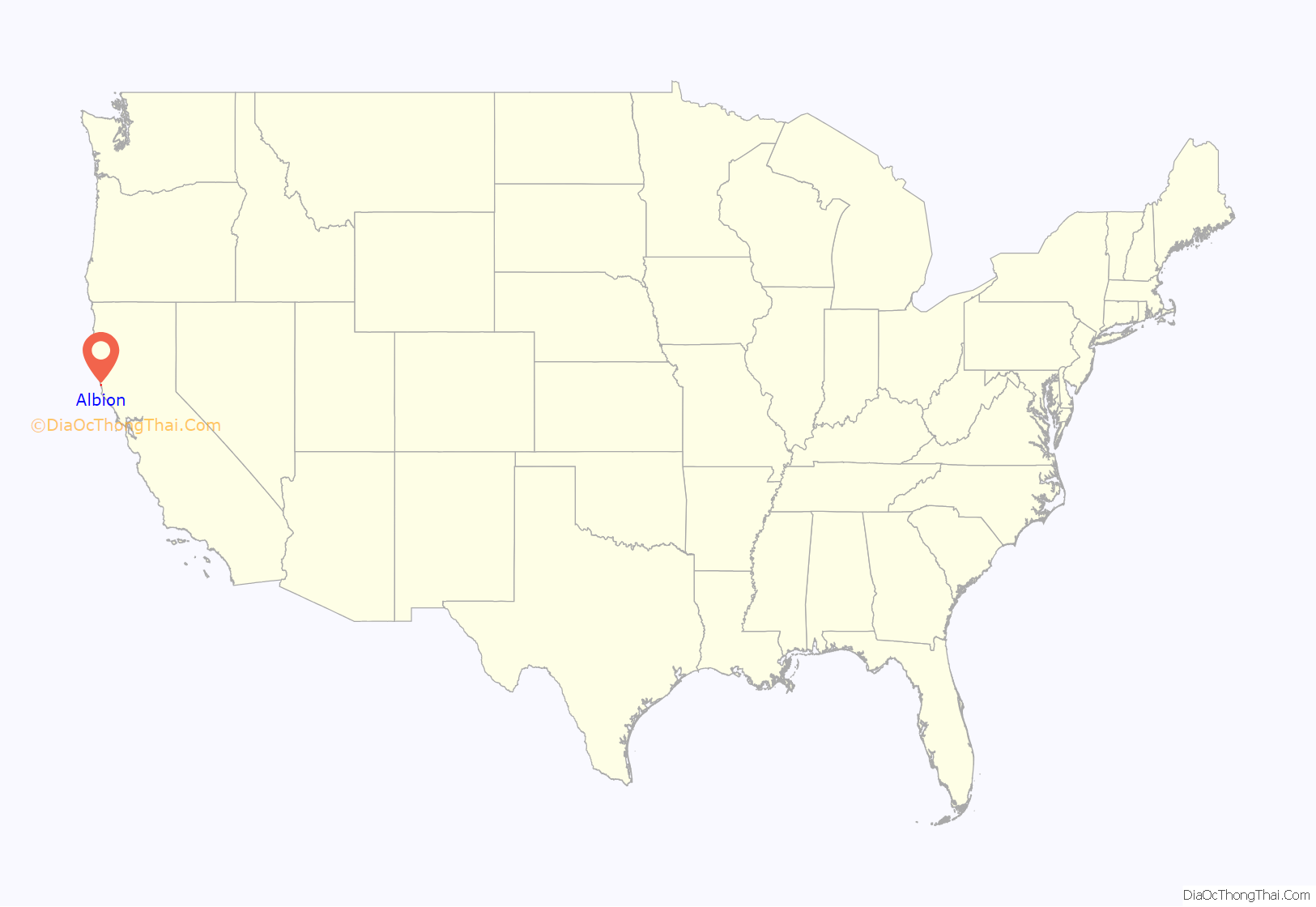
Albion location map. Where is Albion CDP?
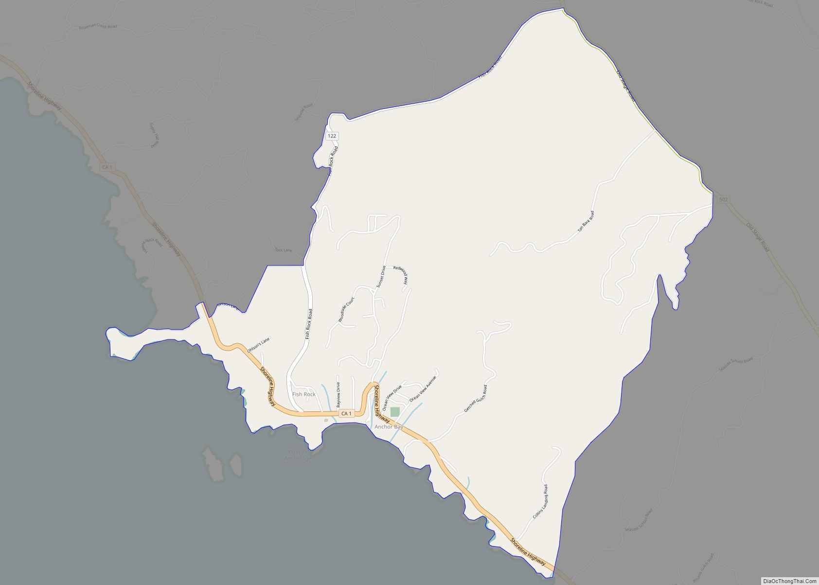
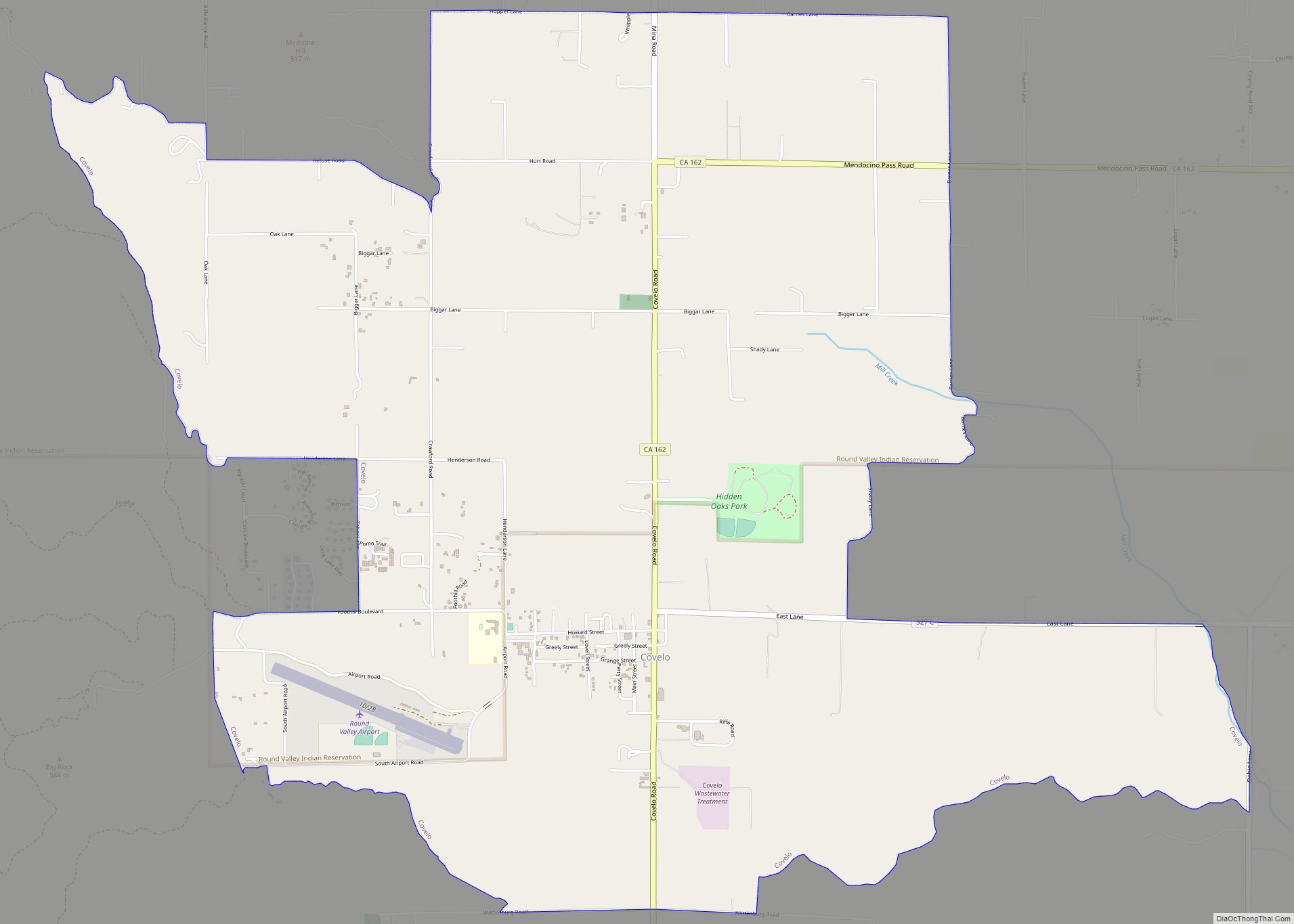
Albion Road Map
Albion city Satellite Map
Geography
Albion lies directly on California’s State Route 1 (Shoreline Highway) north of Elk and south of Mendocino and Little River. It lies just north of the intersection of State Route 1 with State Route 128. Albion Ridge Road leads east from the town center. The side roads on Albion Ridge Road are labeled from B through Q.
The nearest beaches include Navarro Beach to the south and Handley Beach at the head of Albion Ridge Road.
Vegetation includes coastal headlands, with California redwood forests and pygmy forests nearby.
Albion has two bridges, one spanning the Albion River and the other Little Salmon Creek. The Albion River Bridge, built in 1944 when steel and concrete were in short supply, remains as the last wooden bridge still in use on State Route 1.
The ZIP Code is 95410. The community is inside area code 707.
According to the United States Census Bureau, the CDP covers an area of 1.85 square miles (4.8 km), of which 0.04 square miles (0.10 km), or 2.0%, are water.
See also
Map of California State and its subdivision:- Alameda
- Alpine
- Amador
- Butte
- Calaveras
- Colusa
- Contra Costa
- Del Norte
- El Dorado
- Fresno
- Glenn
- Humboldt
- Imperial
- Inyo
- Kern
- Kings
- Lake
- Lassen
- Los Angeles
- Madera
- Marin
- Mariposa
- Mendocino
- Merced
- Modoc
- Mono
- Monterey
- Napa
- Nevada
- Orange
- Placer
- Plumas
- Riverside
- Sacramento
- San Benito
- San Bernardino
- San Diego
- San Francisco
- San Joaquin
- San Luis Obispo
- San Mateo
- Santa Barbara
- Santa Clara
- Santa Cruz
- Shasta
- Sierra
- Siskiyou
- Solano
- Sonoma
- Stanislaus
- Sutter
- Tehama
- Trinity
- Tulare
- Tuolumne
- Ventura
- Yolo
- Yuba
- Alabama
- Alaska
- Arizona
- Arkansas
- California
- Colorado
- Connecticut
- Delaware
- District of Columbia
- Florida
- Georgia
- Hawaii
- Idaho
- Illinois
- Indiana
- Iowa
- Kansas
- Kentucky
- Louisiana
- Maine
- Maryland
- Massachusetts
- Michigan
- Minnesota
- Mississippi
- Missouri
- Montana
- Nebraska
- Nevada
- New Hampshire
- New Jersey
- New Mexico
- New York
- North Carolina
- North Dakota
- Ohio
- Oklahoma
- Oregon
- Pennsylvania
- Rhode Island
- South Carolina
- South Dakota
- Tennessee
- Texas
- Utah
- Vermont
- Virginia
- Washington
- West Virginia
- Wisconsin
- Wyoming
