Alpine is a census-designated place (CDP) in the Cuyamaca Mountains of San Diego County, California. Alpine had a population of 14,696 at the 2020 census, up from 14,236 at the 2010 census. The town is largely surrounded by the Cleveland National Forest and borders two reservations of the Kumeyaay Nation, Viejas and Sycuan, and the rural unincorporated areas around the city of El Cajon.
| Name: | Alpine CDP |
|---|---|
| LSAD Code: | 57 |
| LSAD Description: | CDP (suffix) |
| State: | California |
| County: | San Diego County |
| Elevation: | 1,834 ft (559 m) |
| Total Area: | 26.79 sq mi (69.38 km²) |
| Land Area: | 26.79 sq mi (69.37 km²) |
| Water Area: | 0.00 sq mi (0.00 km²) 0.01% |
| Total Population: | 14,696 |
| Population Density: | 548.64/sq mi (211.84/km²) |
| ZIP code: | 91901, 91903 |
| Area code: | 619 |
| FIPS code: | 0601192 |
Online Interactive Map
Click on ![]() to view map in "full screen" mode.
to view map in "full screen" mode.
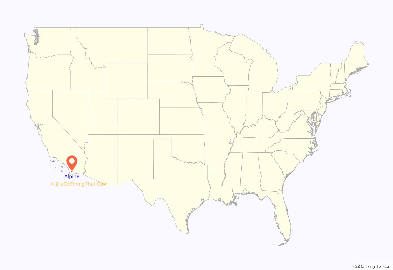
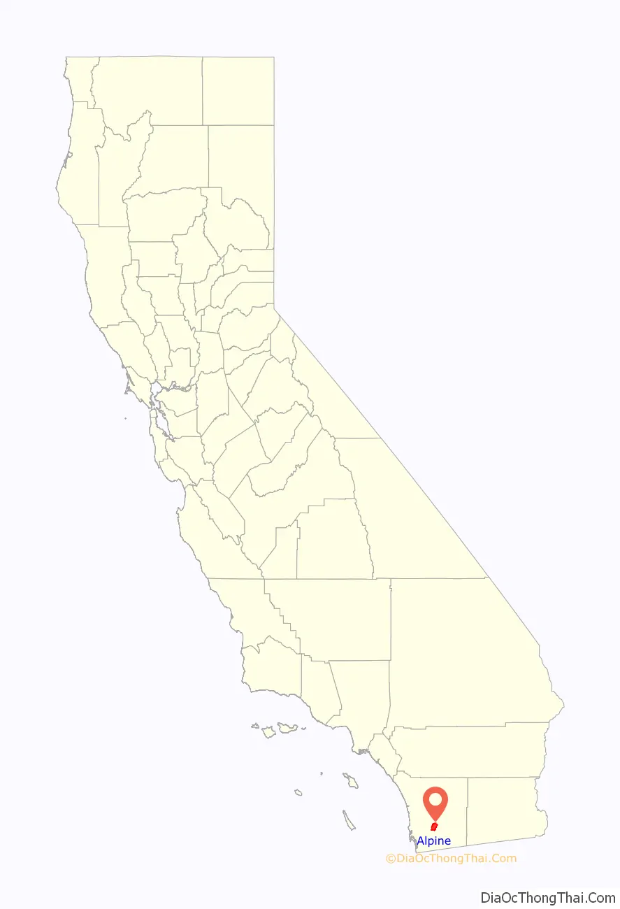
Alpine location map. Where is Alpine CDP?
History
Before its modern settlement, the area was part of the home of the Kumeyaay Indians, whose ancestors had lived here for possibly as long as 12,000 years.
The community’s name was suggested by a resident in the 1880s who said that the environment reminded her of her native country of Switzerland.
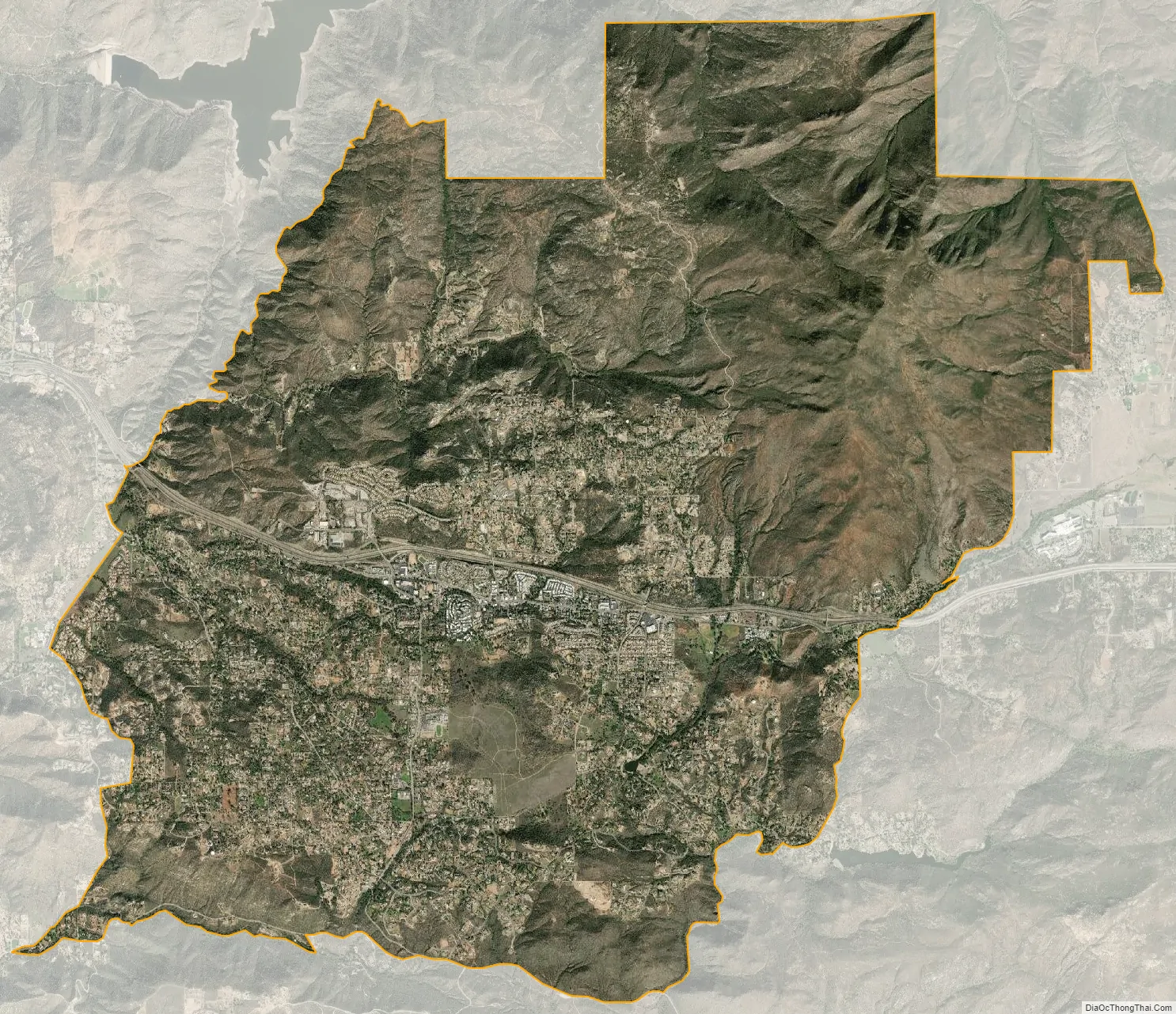
The small commercial district along Alpine Boulevard has seen some suburban development in recent decades, and it is surrounded by large stretches of less densely populated rural areas that began in the late 19th and early 20th centuries. Horse ranches and small farms are still common, along with open chaparral hillsides and riparian canyons.
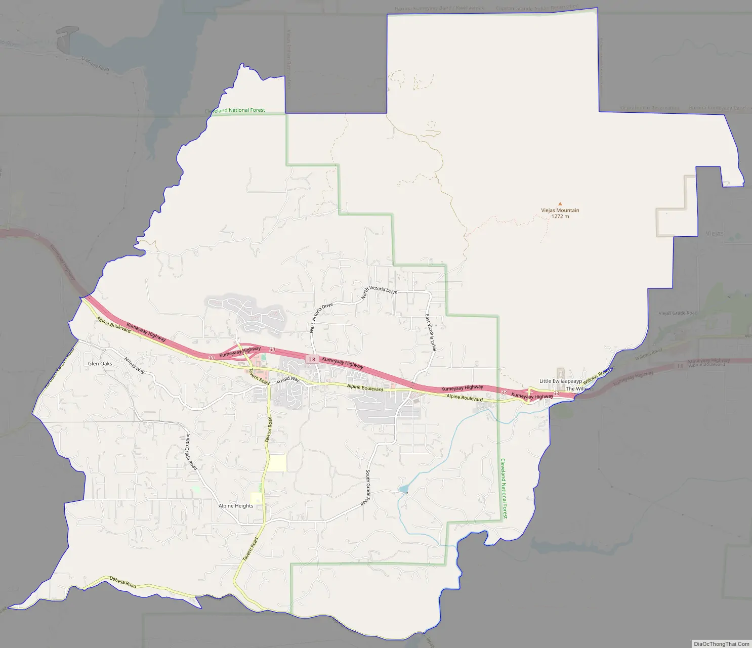
Alpine Road Map
Alpine city Satellite Map
Geography
Alpine sits on both sides of Interstate 8 at the eastern extent of the California coastal region and the western extent of the Peninsular Ranges, about 30 miles (48 km) east of downtown San Diego, at an elevation of about 2,000 feet (610 m).
The location of Alpine is not precisely defined since it is an unincorporated area. According to the United States Geological Survey, it is at 32°50′6″N 116°45′59″W / 32.83500°N 116.76639°W / 32.83500; -116.76639 (32.8350521, -116.7664109), which is near the intersection of Alpine Boulevard and Tavern Road. That is approximately where most maps place Alpine. Kumeyaay tribes are indigenous to the area, and the Ewiiaapaayp Band and Viejas Band of Kumeyaay Indians both have headquarters in Alpine.
According to the United States Census Bureau, it is at 32°50′4″N 116°46′14″W / 32.83444°N 116.77056°W / 32.83444; -116.77056 (32.834563, -116.770615), which is approximately 1,200 feet (370 m) west of the USGS location. According to the United States Census Bureau, the CDP has a total area of 26.8 square miles (69 km), 99.99% land and 0.01% water.
Viejas Mountain is the highest peak in the area, at 4,189 feet (1,277 m).
See also
Map of California State and its subdivision:- Alameda
- Alpine
- Amador
- Butte
- Calaveras
- Colusa
- Contra Costa
- Del Norte
- El Dorado
- Fresno
- Glenn
- Humboldt
- Imperial
- Inyo
- Kern
- Kings
- Lake
- Lassen
- Los Angeles
- Madera
- Marin
- Mariposa
- Mendocino
- Merced
- Modoc
- Mono
- Monterey
- Napa
- Nevada
- Orange
- Placer
- Plumas
- Riverside
- Sacramento
- San Benito
- San Bernardino
- San Diego
- San Francisco
- San Joaquin
- San Luis Obispo
- San Mateo
- Santa Barbara
- Santa Clara
- Santa Cruz
- Shasta
- Sierra
- Siskiyou
- Solano
- Sonoma
- Stanislaus
- Sutter
- Tehama
- Trinity
- Tulare
- Tuolumne
- Ventura
- Yolo
- Yuba
- Alabama
- Alaska
- Arizona
- Arkansas
- California
- Colorado
- Connecticut
- Delaware
- District of Columbia
- Florida
- Georgia
- Hawaii
- Idaho
- Illinois
- Indiana
- Iowa
- Kansas
- Kentucky
- Louisiana
- Maine
- Maryland
- Massachusetts
- Michigan
- Minnesota
- Mississippi
- Missouri
- Montana
- Nebraska
- Nevada
- New Hampshire
- New Jersey
- New Mexico
- New York
- North Carolina
- North Dakota
- Ohio
- Oklahoma
- Oregon
- Pennsylvania
- Rhode Island
- South Carolina
- South Dakota
- Tennessee
- Texas
- Utah
- Vermont
- Virginia
- Washington
- West Virginia
- Wisconsin
- Wyoming


