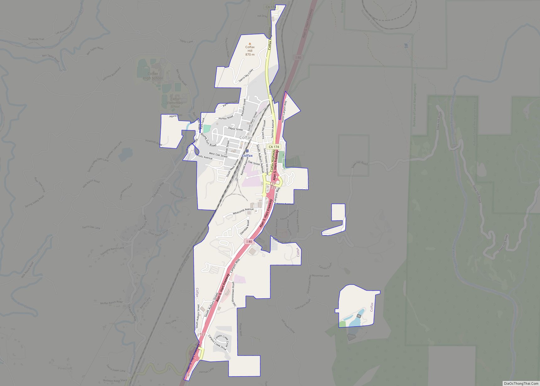
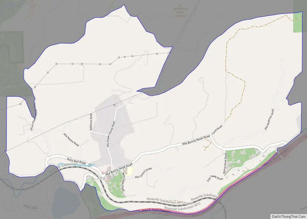
Alta (Spanish for “Upper”) is a small unincorporated community and census-designated place (CDP) in Placer County, California, United States, about 30 miles (48 km) northeast of Auburn. The village is located off Interstate 80 and along the historical First transcontinental railroad. The ZIP code is 95701 and the area code 530. One of the few buildings other than private residences is the Alta-Dutch Flat Grammar School serving kindergarten through eighth grade students. The high school that serves Alta is named Colfax High School. Colfax High School is 11 miles southwest in the incorporated town of Colfax. The population of Alta was 615 at the 2020 census.
A historical California place once named Alta was located in San Diego County near the present-day La Mesa–El Cajon boundary. This historical place was along the San Diego and Arizona Eastern Railway, now the San Diego Trolley Orange Line, at its Murray Drive undercrossing in La Mesa. The community was named after the Spanish word meaning “upper” or “high”.
| Name: | Alta CDP |
|---|---|
| LSAD Code: | 57 |
| LSAD Description: | CDP (suffix) |
| State: | California |
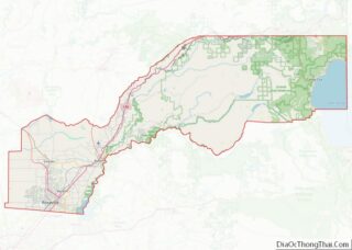
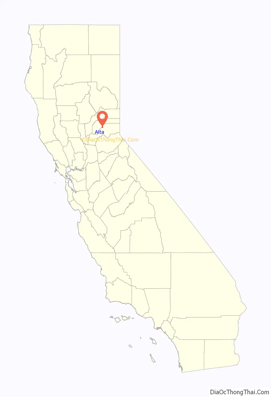
| County: | Placer County |
| Elevation: | 3,743 ft (1,141 m) |
| Total Area: | 2.39 sq mi (6.19 km²) |
| Land Area: | 2.38 sq mi (6.17 km²) |
| Water Area: | 0.01 sq mi (0.02 km²) 0.28% |
| Total Population: | 615 |
| Population Density: | 257.97/sq mi (99.62/km²) |
| ZIP code: | 95701 |
| Area code: | 530 |
| FIPS code: | 0601276 |
| GNISfeature ID: | 2628704 |
Online Interactive Map
Click on ![]() to view map in "full screen" mode.
to view map in "full screen" mode.
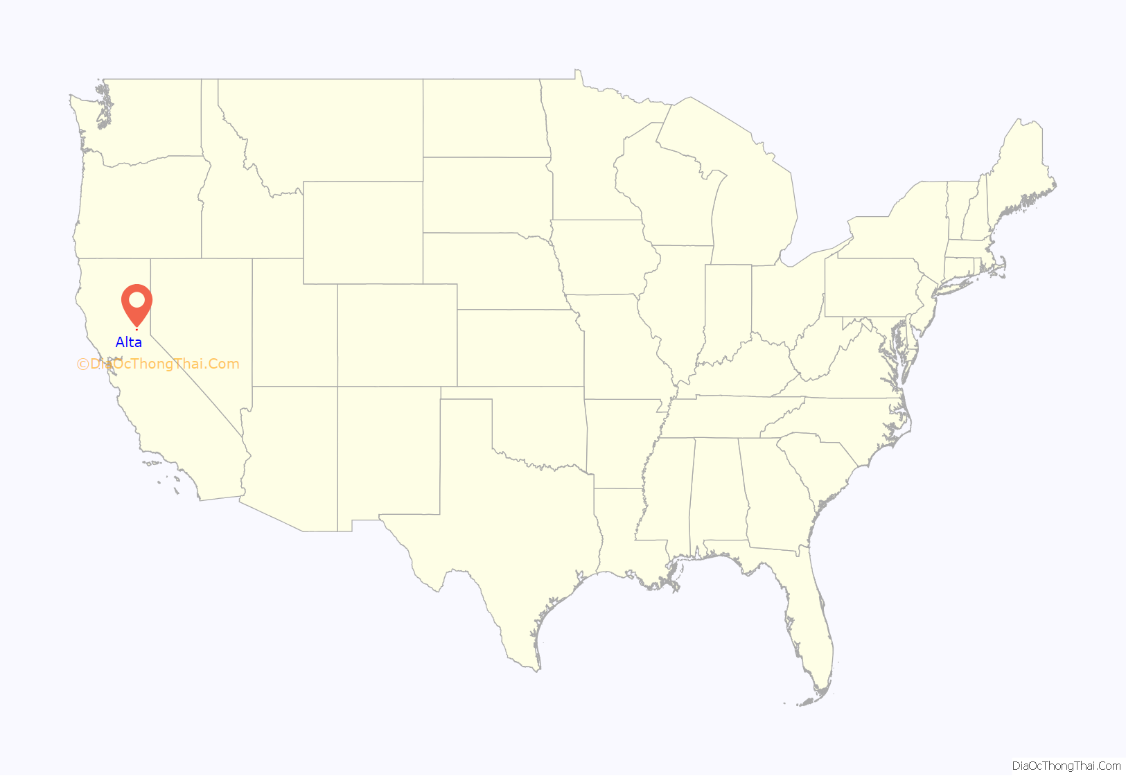
Alta location map. Where is Alta CDP?
Alta Road Map
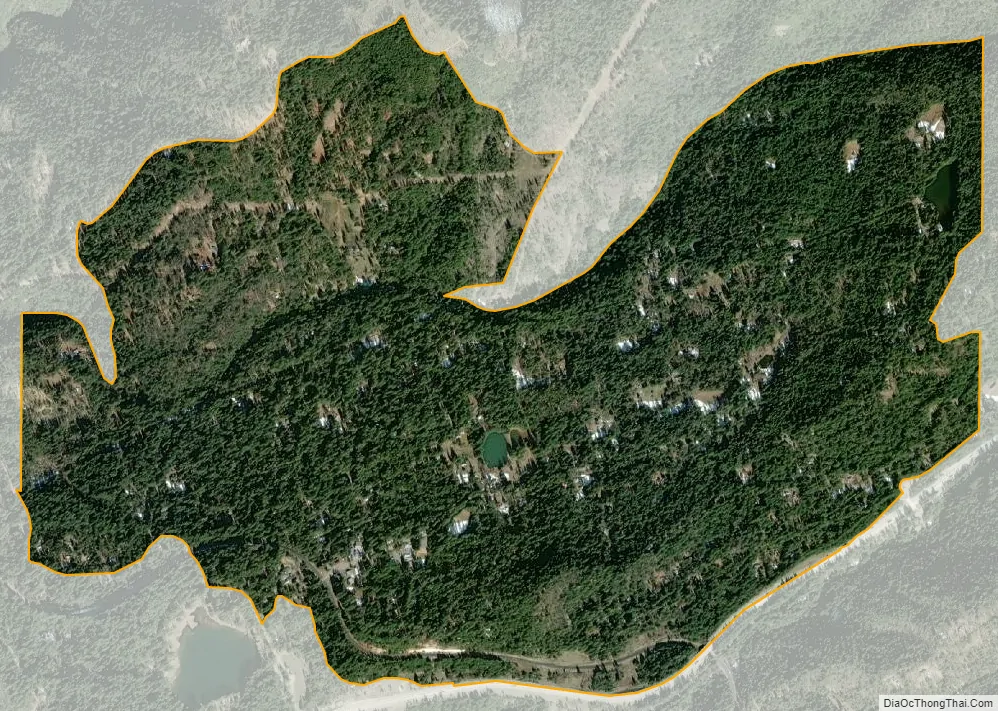
Alta city Satellite Map
Geography
According to the United States Census Bureau, the CDP covers an area of 2.4 square miles (6.2 km), 99.72% of it land, and 0.28% of it water.
Climate
Alta has a hot-summer Mediterranean climate (Köppen climate classification Csa) that is characterized by cool, wet winters and hot, dry summers (Köppen climate classification Csa).
See also
Map of California State and its subdivision:- Alameda
- Alpine
- Amador
- Butte
- Calaveras
- Colusa
- Contra Costa
- Del Norte
- El Dorado
- Fresno
- Glenn
- Humboldt
- Imperial
- Inyo
- Kern
- Kings
- Lake
- Lassen
- Los Angeles
- Madera
- Marin
- Mariposa
- Mendocino
- Merced
- Modoc
- Mono
- Monterey
- Napa
- Nevada
- Orange
- Placer
- Plumas
- Riverside
- Sacramento
- San Benito
- San Bernardino
- San Diego
- San Francisco
- San Joaquin
- San Luis Obispo
- San Mateo
- Santa Barbara
- Santa Clara
- Santa Cruz
- Shasta
- Sierra
- Siskiyou
- Solano
- Sonoma
- Stanislaus
- Sutter
- Tehama
- Trinity
- Tulare
- Tuolumne
- Ventura
- Yolo
- Yuba
- Alabama
- Alaska
- Arizona
- Arkansas
- California
- Colorado
- Connecticut
- Delaware
- District of Columbia
- Florida
- Georgia
- Hawaii
- Idaho
- Illinois
- Indiana
- Iowa
- Kansas
- Kentucky
- Louisiana
- Maine
- Maryland
- Massachusetts
- Michigan
- Minnesota
- Mississippi
- Missouri
- Montana
- Nebraska
- Nevada
- New Hampshire
- New Jersey
- New Mexico
- New York
- North Carolina
- North Dakota
- Ohio
- Oklahoma
- Oregon
- Pennsylvania
- Rhode Island
- South Carolina
- South Dakota
- Tennessee
- Texas
- Utah
- Vermont
- Virginia
- Washington
- West Virginia
- Wisconsin
- Wyoming