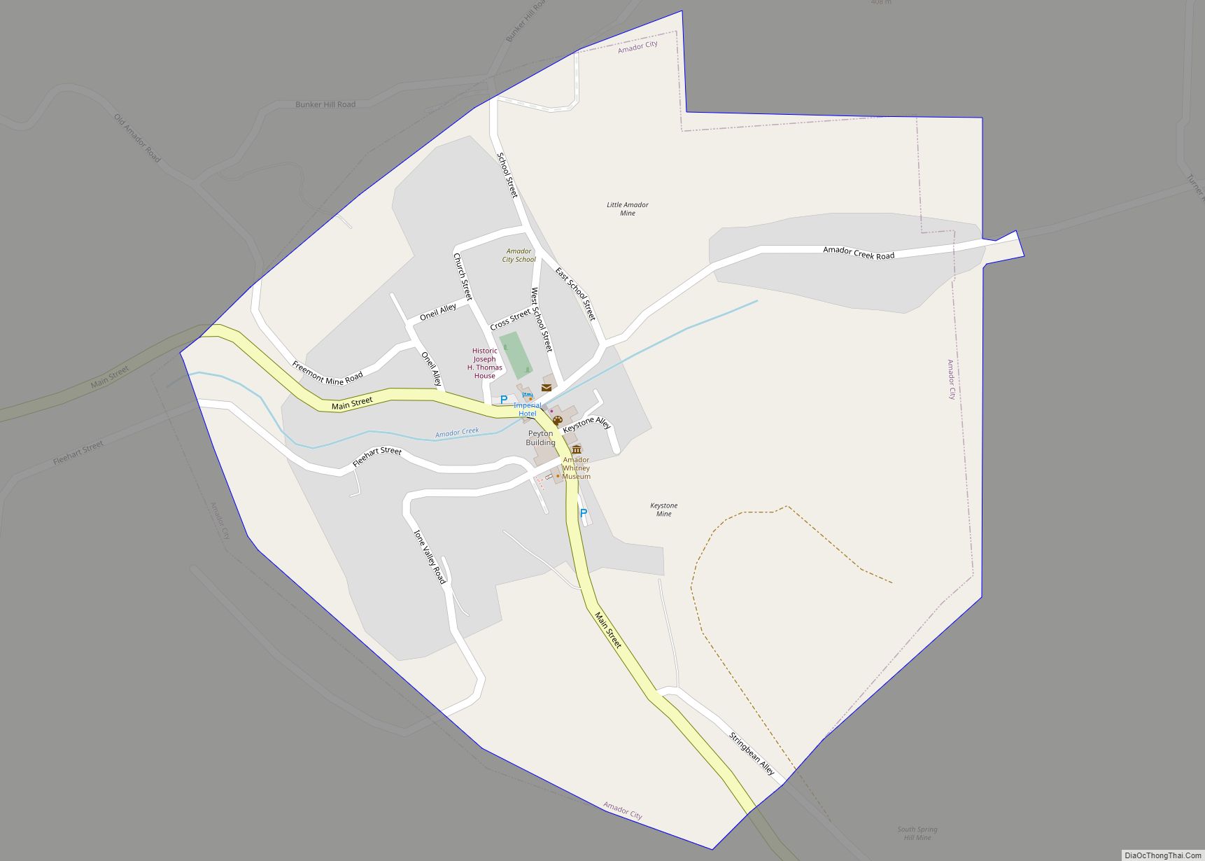
Amador City (formerly Amadore’s Creek or South Amador) is a city in Amador County, California, United States. The population was 200 as of the 2020 Census, up from 185 in 2010, making it the least populous incorporated city in California. Amador City is also noted for being the smallest city in California by area.
| Name: | Amador City city |
|---|---|
| LSAD Code: | 25 |
| LSAD Description: | city (suffix) |
| State: | California |
| County: | Amador County |
| Incorporated: | June 2, 1915 |
| Elevation: | 919 ft (280 m) |
| Total Area: | 0.31 sq mi (0.80 km²) |
| Land Area: | 0.31 sq mi (0.80 km²) |
| Water Area: | 0.00 sq mi (0.00 km²) 0% |
| Total Population: | 200 |
| Population Density: | 645.16/sq mi (249.46/km²) |
| ZIP code: | 95601 |
| Area code: | 209 |
| FIPS code: | 0601514 |
| Website: | www.amador-city.com |
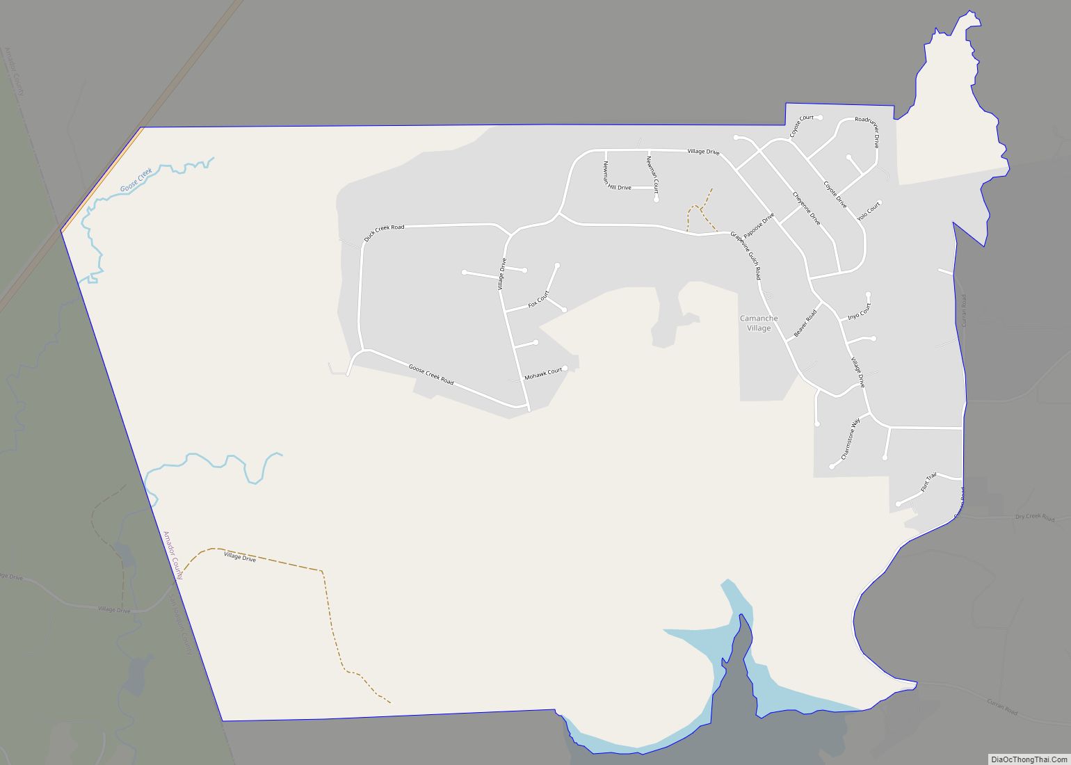
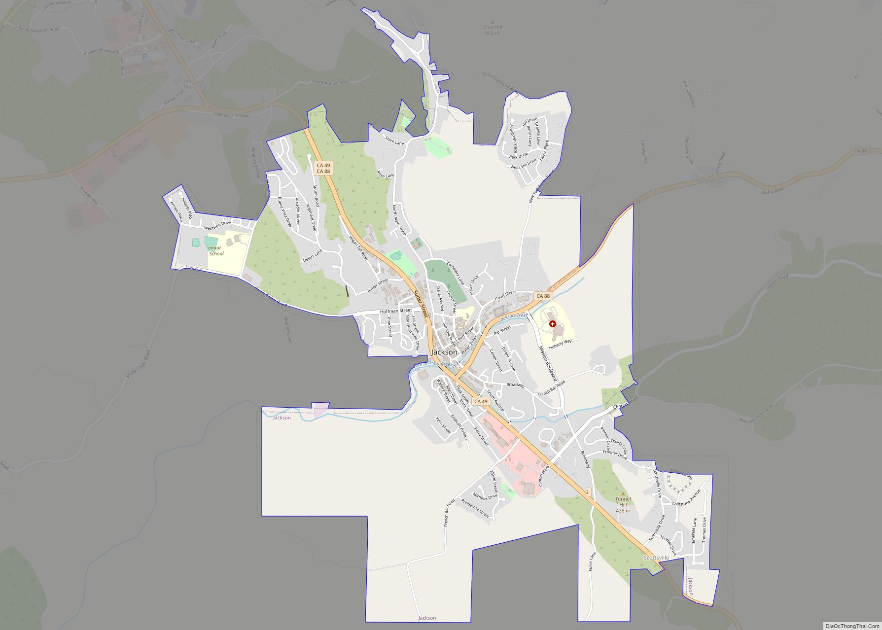
Online Interactive Map
Click on ![]() to view map in "full screen" mode.
to view map in "full screen" mode.
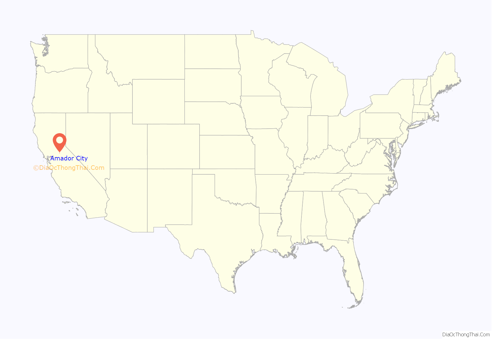
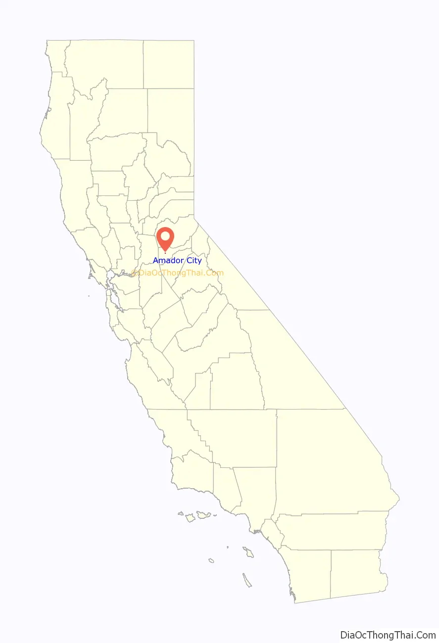
Amador City location map. Where is Amador City city?
History
Amador City was originally settled in 1849 at what is now Turner Road and Amador Creek (an old wagon road between Drytown and Sutter Creek) by several groups of gold panners who were drawn to the area. One of the groups was the Sunol Group. The Sunol group included José María Amador. José María Amador panned the creek, but his primary success was providing supplies that he brought from his rancheria in the San Ramon area. José María Amador left the group after six months, returning to his rancheria. The rancheria had suffered during his absence, and he needed to care for his ailing wife. José María Amador must have made a significant impression among the other panners. The creek, city and County eventually carried the name “Amador”, the city taking its name from the county.
Early in 1851 gold quartz veins were discovered along the same creek but further west. Arrastras were brought to the area to crush the quartz. Shortly stamps mills were brought in to process the hard quartz that the gold veins were embedded in. By September two stamp mills were erected along Amador Creek. These stamp mills were so remarkable that it drew the attention of Eadweard Muybridge. He photographed the area and 3D images taken in 1851 were made of the stamp mills.
Amador City was incorporated as a city on June 2, 1915.
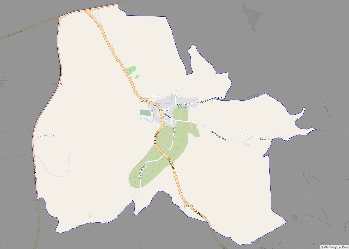
Amador City Road Map
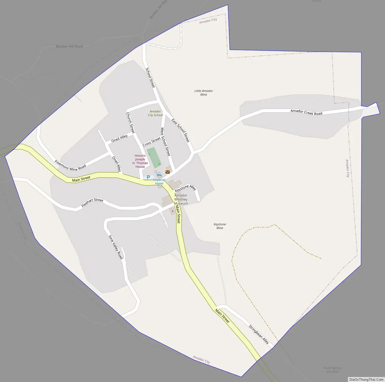
Amador City city Satellite Map

Geography
Amador City is located at 38°25′10″N 120°49′27″W / 38.41944°N 120.82417°W / 38.41944; -120.82417Coordinates: 38°25′10″N 120°49′27″W / 38.41944°N 120.82417°W / 38.41944; -120.82417.
Only two miles (3.2 km) from Sutter Creek on Old Highway 49, Amador City is the state’s smallest incorporated city by area. According to the United States Census Bureau, the city has a total area of 0.3 square miles (0.78 km), all of which is land, making it the smallest city in California by size.
See also
Map of California State and its subdivision:- Alameda
- Alpine
- Amador
- Butte
- Calaveras
- Colusa
- Contra Costa
- Del Norte
- El Dorado
- Fresno
- Glenn
- Humboldt
- Imperial
- Inyo
- Kern
- Kings
- Lake
- Lassen
- Los Angeles
- Madera
- Marin
- Mariposa
- Mendocino
- Merced
- Modoc
- Mono
- Monterey
- Napa
- Nevada
- Orange
- Placer
- Plumas
- Riverside
- Sacramento
- San Benito
- San Bernardino
- San Diego
- San Francisco
- San Joaquin
- San Luis Obispo
- San Mateo
- Santa Barbara
- Santa Clara
- Santa Cruz
- Shasta
- Sierra
- Siskiyou
- Solano
- Sonoma
- Stanislaus
- Sutter
- Tehama
- Trinity
- Tulare
- Tuolumne
- Ventura
- Yolo
- Yuba
- Alabama
- Alaska
- Arizona
- Arkansas
- California
- Colorado
- Connecticut
- Delaware
- District of Columbia
- Florida
- Georgia
- Hawaii
- Idaho
- Illinois
- Indiana
- Iowa
- Kansas
- Kentucky
- Louisiana
- Maine
- Maryland
- Massachusetts
- Michigan
- Minnesota
- Mississippi
- Missouri
- Montana
- Nebraska
- Nevada
- New Hampshire
- New Jersey
- New Mexico
- New York
- North Carolina
- North Dakota
- Ohio
- Oklahoma
- Oregon
- Pennsylvania
- Rhode Island
- South Carolina
- South Dakota
- Tennessee
- Texas
- Utah
- Vermont
- Virginia
- Washington
- West Virginia
- Wisconsin
- Wyoming