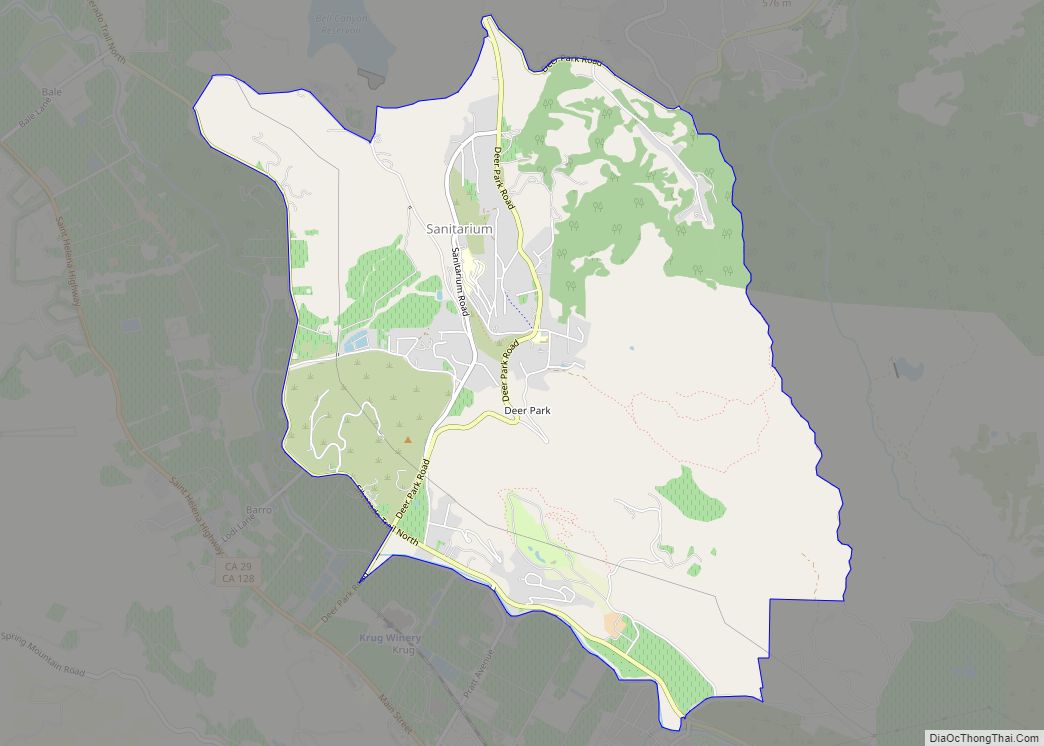
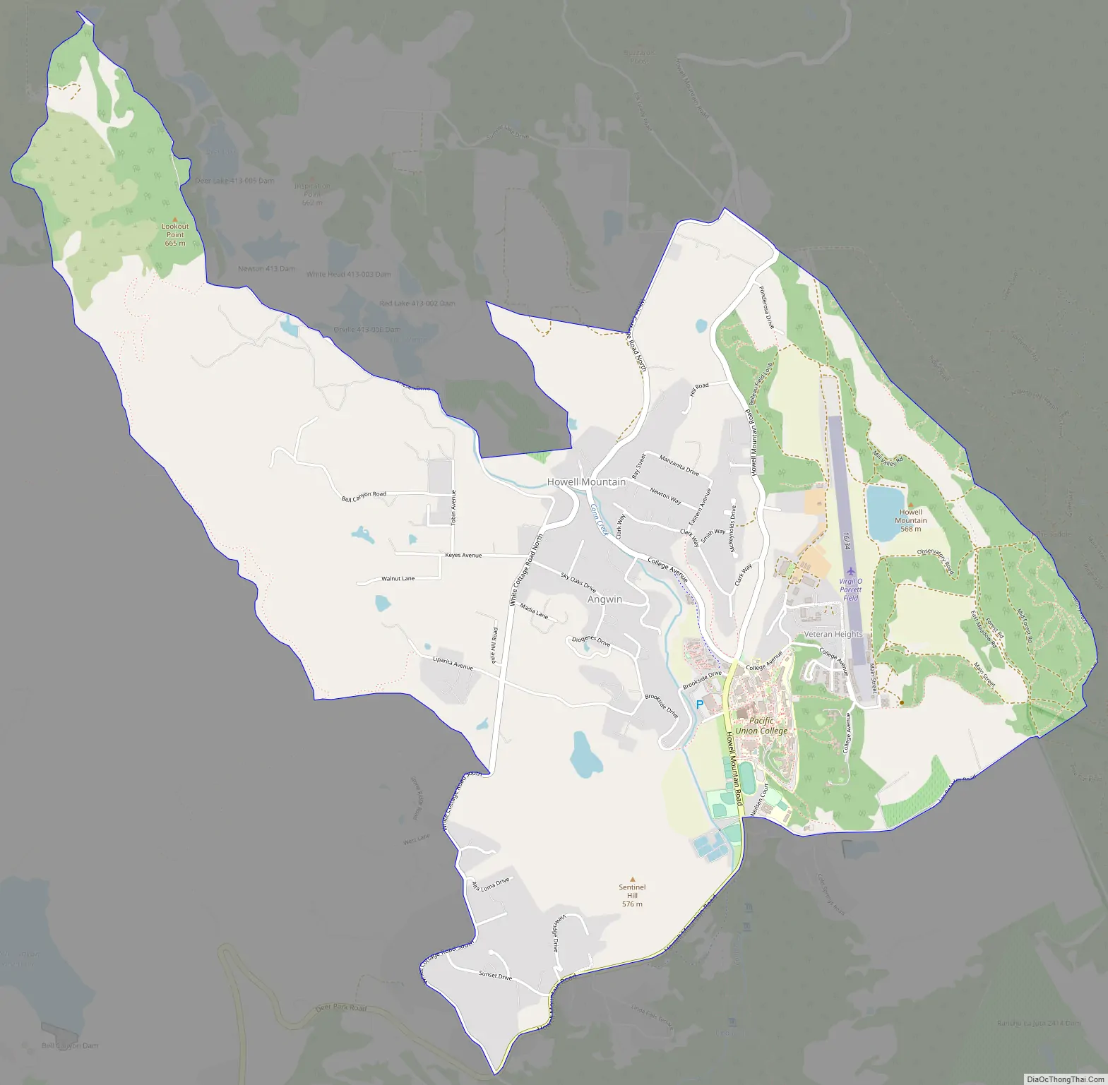
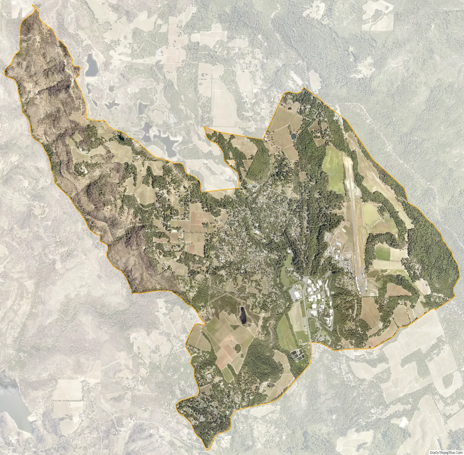
Angwin is a census-designated place (CDP) in Napa County, California, best known as the site of Pacific Union College. It is part of the northern San Francisco Bay Area. The population was 3,051 at the 2010 census. Its area code is 707. Its two zip codes are 94508 and 94576. It is in the Pacific time zone.
| Name: | Angwin CDP |
|---|---|
| LSAD Code: | 57 |
| LSAD Description: | CDP (suffix) |
| State: | California |
| County: | Napa County |
| Elevation: | 1,749 ft (533 m) |
| Land Area: | 4.83 sq mi (12.51 km²) |
| Water Area: | 0.04 sq mi (0.11 km²) 0.86% |
| Population Density: | 545.25/sq mi (210.52/km²) |
| ZIP code: | 94508, 94576 |
| Area code: | 707 |
| FIPS code: | 0602168 |
Online Interactive Map
Click on ![]() to view map in "full screen" mode.
to view map in "full screen" mode.
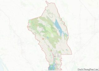
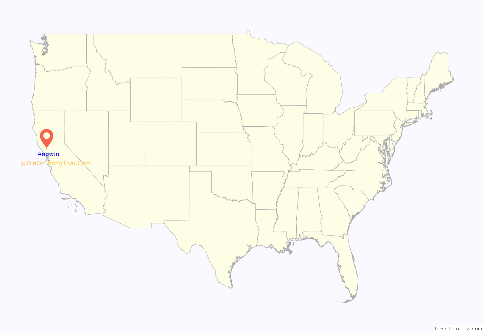
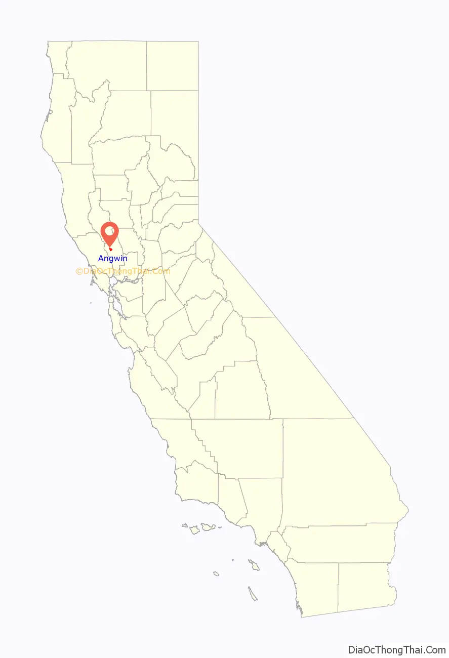
Angwin location map. Where is Angwin CDP?
History
The town of Angwin is named for Edwin Angwin (1841–1919), a native of St. Agnes, Cornwall, who in 1875 purchased a 200-acre (0.8 km) parcel within the Rancho La Jota on Howell Mountain and established the Angwin Resort. By the 1900s, Mr. Angwin owned almost 1,600 acres (6.5 km) of land in the area.
Prior to 1875, Rancho La Jota was held in its entirety by William Campbell Watson, husband of Elizabeth Anne Davis, the granddaughter of George C. Yount. Mr. Watson began to sell off portions of the Rancho in 1875, Mr. Angwin’s being among the first parcels. Soon after a community began to emerge with the success of, and in support of, the Angwin Resort.
In 1909, Healdsburg College (formerly Healdsburg Academy), a Seventh-day Adventist college, moved from its location in Healdsburg when it purchased the Angwin Resort for $60,000 to open Pacific Union College. According to a 1985 KRON-TV news report, more than 80 percent of the population of Angwin belonged to the Seventh-day Adventist Church.
In August 2020, Angwin was evacuated due to the Hennessey Fire.
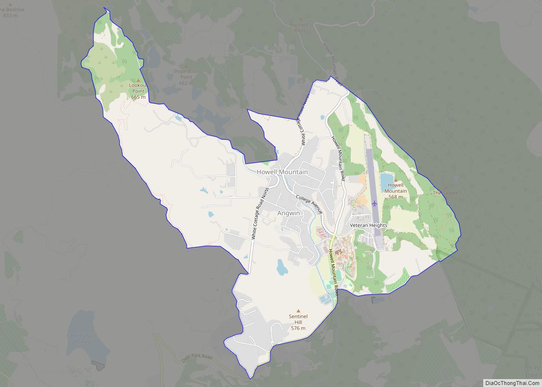
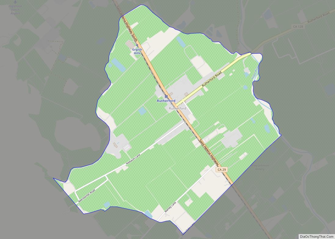
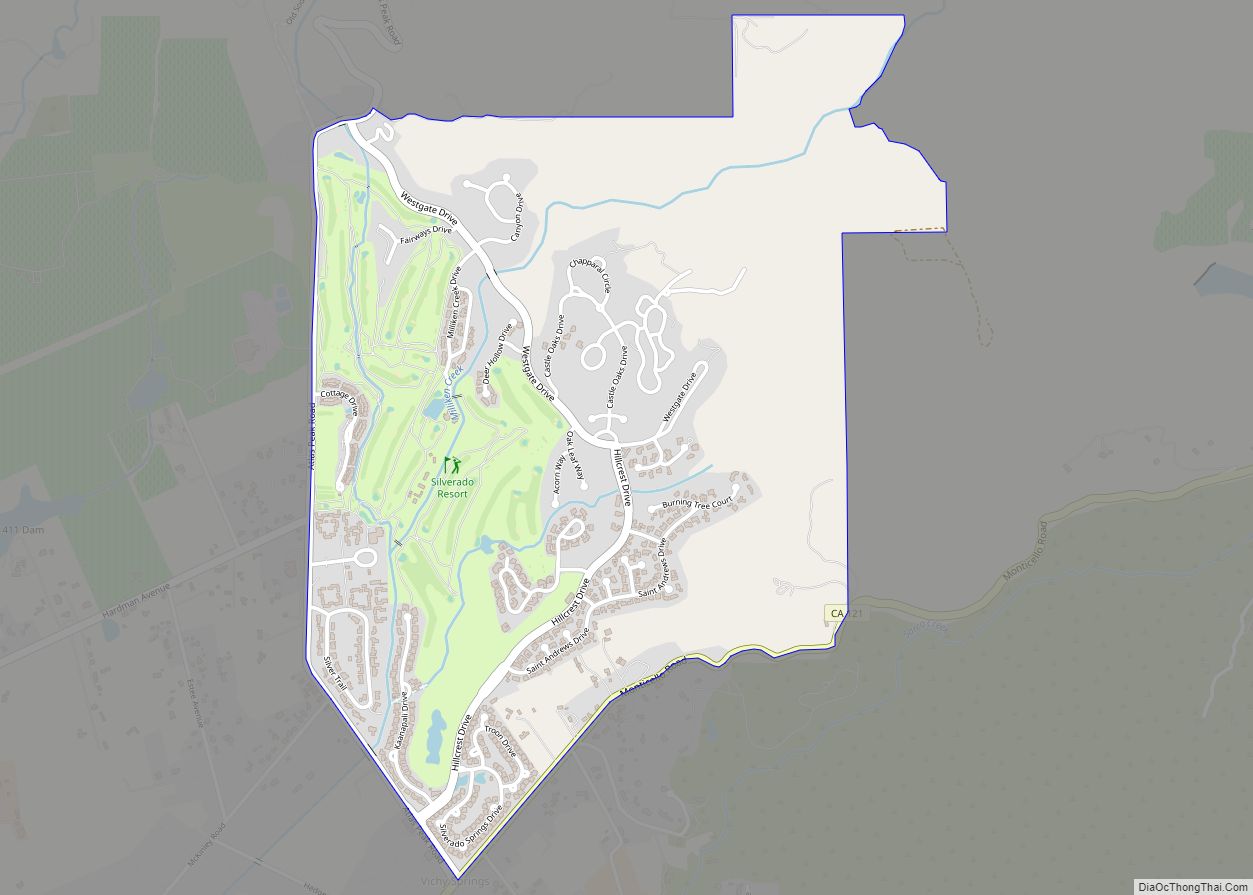
Angwin Road Map
Angwin city Satellite Map
Geography
According to the United States Census Bureau, the CDP has a total area of 4.9 square miles (13 km), 99.14% of it land and 0.86% of it water.
Angwin is located within the Howell Mountain AVA.
Climate
Angwin’s Pacific Union College has maintained a National Weather Service cooperative weather station since 1940. Average January temperatures are a maximum of 52.2 °F (11.2 °C) and a minimum of 37.9 °F (3.3 °C). There are an average of 35.3 days with highs of 90.0 °F (32.2 °C) or higher and 25.1 days with lows of 32.0 °F (0.0 °C) or lower. The record high temperature was 110 °F (43 °C) on July 15, 1972. The record low temperature was 14 °F (−10 °C) on December 9, 1972.
Average annual precipitation is 40.60 inches (103.1 cm). The wettest year was 1983 with 88.89 inches (225.8 cm) and the driest year was 2020 with 16.28 inches (41.4 cm). The most precipitation in one month was 40.81 inches (103.7 cm) in January 2017. The most precipitation in 24 hours was 10.48 inches (26.6 cm) on October 24, 2021.
Average annual snowfall is 2.0 inches (5.1 cm). The most snow in one year was 23.3 inches (59 cm) in 1952, including 12.8 inches (33 cm) in January.
See also
Map of California State and its subdivision:- Alameda
- Alpine
- Amador
- Butte
- Calaveras
- Colusa
- Contra Costa
- Del Norte
- El Dorado
- Fresno
- Glenn
- Humboldt
- Imperial
- Inyo
- Kern
- Kings
- Lake
- Lassen
- Los Angeles
- Madera
- Marin
- Mariposa
- Mendocino
- Merced
- Modoc
- Mono
- Monterey
- Napa
- Nevada
- Orange
- Placer
- Plumas
- Riverside
- Sacramento
- San Benito
- San Bernardino
- San Diego
- San Francisco
- San Joaquin
- San Luis Obispo
- San Mateo
- Santa Barbara
- Santa Clara
- Santa Cruz
- Shasta
- Sierra
- Siskiyou
- Solano
- Sonoma
- Stanislaus
- Sutter
- Tehama
- Trinity
- Tulare
- Tuolumne
- Ventura
- Yolo
- Yuba
- Alabama
- Alaska
- Arizona
- Arkansas
- California
- Colorado
- Connecticut
- Delaware
- District of Columbia
- Florida
- Georgia
- Hawaii
- Idaho
- Illinois
- Indiana
- Iowa
- Kansas
- Kentucky
- Louisiana
- Maine
- Maryland
- Massachusetts
- Michigan
- Minnesota
- Mississippi
- Missouri
- Montana
- Nebraska
- Nevada
- New Hampshire
- New Jersey
- New Mexico
- New York
- North Carolina
- North Dakota
- Ohio
- Oklahoma
- Oregon
- Pennsylvania
- Rhode Island
- South Carolina
- South Dakota
- Tennessee
- Texas
- Utah
- Vermont
- Virginia
- Washington
- West Virginia
- Wisconsin
- Wyoming