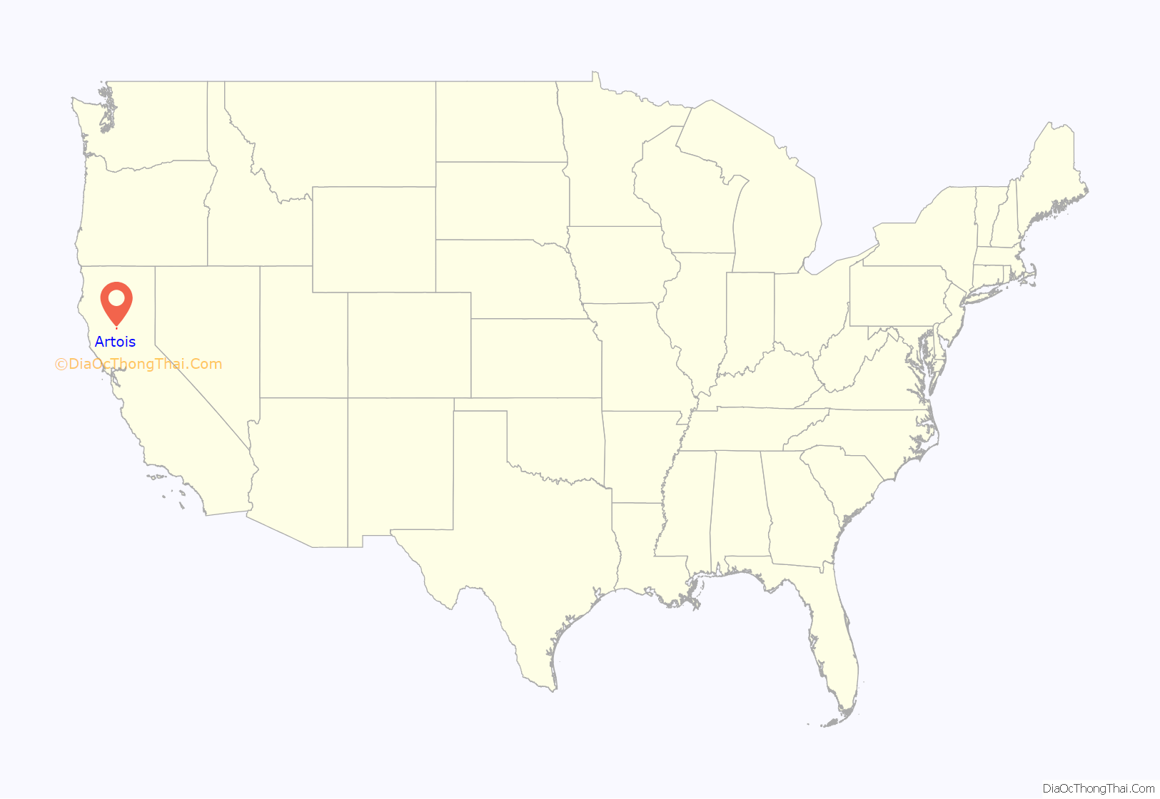
Artois (/ˈɑːr.tɔɪs/), formerly known as Germantown, is a census-designated place in Glenn County, California, USA. It is located 5 miles (8 km) north of Willows, at an elevation of 167 feet (51 m), in the northern Sacramento Valley of California. It is located on the former United States Highway 99W, and is bypassed to the west by Interstate 5. It is served by the California Northern Railroad, formerly the west Sacramento Valley line of the Southern Pacific Railroad. Its coordinates are approximately 39°37′ N 122°12′ W. The ZIP code for Artois is 95913. The community is inside area code 530. The population was 295 at the 2010 census.
| Name: | Artois CDP |
|---|---|
| LSAD Code: | 57 |
| LSAD Description: | CDP (suffix) |
| State: | California |
| County: | Glenn County |
| Elevation: | 167 ft (51 m) |
| Total Area: | 2.88 sq mi (7.46 km²) |
| Land Area: | 2.88 sq mi (7.46 km²) |
| Water Area: | 0.00 sq mi (0.00 km²) 0% |
| Total Population: | 295 |
| Population Density: | 102.43/sq mi (39.55/km²) |
| ZIP code: | 95913 |
| Area code: | 530 |
| FIPS code: | 0602910 |
Online Interactive Map
Click on ![]() to view map in "full screen" mode.
to view map in "full screen" mode.
Artois location map. Where is Artois CDP?
History
The name stems from the ancient province in France where the method of boring artesian wells was first adopted. Artois was formerly named Germantown, and petitions to change the Germantown post office name were successful with Artois adopted on May 21, 1918. Local belief is that a World War I troop train stopped to water at Germantown and a riot ensued when the troops took offense at the name. The town was then renamed after the Battles of Artois.
The Germantown post office opened in 1877, and changed its name to Artois in 1918.
On June 1, 2011, an EF1 tornado struck east of Artois, uprooting hundreds of almond trees, and causing damage to farm equipment and roofing materials.
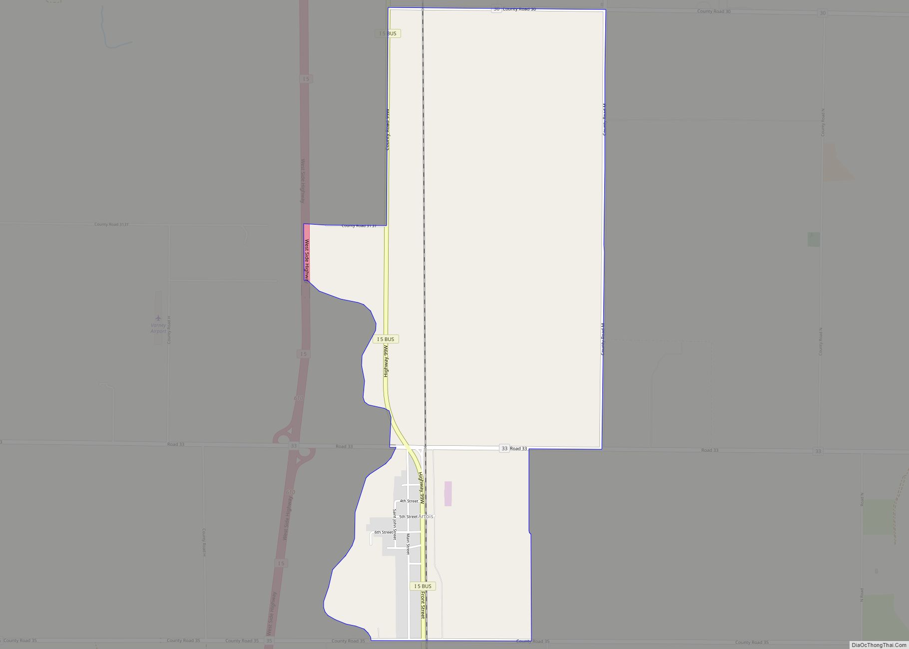
Artois Road Map
Artois city Satellite Map
See also
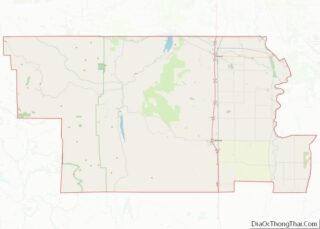
Map of California State and its subdivision:- Alameda
- Alpine
- Amador
- Butte
- Calaveras
- Colusa
- Contra Costa
- Del Norte
- El Dorado
- Fresno
- Glenn
- Humboldt
- Imperial
- Inyo
- Kern
- Kings
- Lake
- Lassen
- Los Angeles
- Madera
- Marin
- Mariposa
- Mendocino
- Merced
- Modoc
- Mono
- Monterey
- Napa
- Nevada
- Orange
- Placer
- Plumas
- Riverside
- Sacramento
- San Benito
- San Bernardino
- San Diego
- San Francisco
- San Joaquin
- San Luis Obispo
- San Mateo
- Santa Barbara
- Santa Clara
- Santa Cruz
- Shasta
- Sierra
- Siskiyou
- Solano
- Sonoma
- Stanislaus
- Sutter
- Tehama
- Trinity
- Tulare
- Tuolumne
- Ventura
- Yolo
- Yuba
- Alabama
- Alaska
- Arizona
- Arkansas
- California
- Colorado
- Connecticut
- Delaware
- District of Columbia
- Florida
- Georgia
- Hawaii
- Idaho
- Illinois
- Indiana
- Iowa
- Kansas
- Kentucky
- Louisiana
- Maine
- Maryland
- Massachusetts
- Michigan
- Minnesota
- Mississippi
- Missouri
- Montana
- Nebraska
- Nevada
- New Hampshire
- New Jersey
- New Mexico
- New York
- North Carolina
- North Dakota
- Ohio
- Oklahoma
- Oregon
- Pennsylvania
- Rhode Island
- South Carolina
- South Dakota
- Tennessee
- Texas
- Utah
- Vermont
- Virginia
- Washington
- West Virginia
- Wisconsin
- Wyoming
