Auberry (/ˈɔːbɛri/) is a census-designated place (CDP) in Fresno County, California, United States. The population was 2,369 at the 2010 census, up from 2,053 at the 2000 census. Auberry is located on Little Sandy Creek 9.5 miles (15 km) west of Shaver Lake Heights, at an elevation of 2,018 feet (615 m).
| Name: | Auberry CDP |
|---|---|
| LSAD Code: | 57 |
| LSAD Description: | CDP (suffix) |
| State: | California |
| County: | Fresno County |
| Elevation: | 2,018 ft (615 m) |
| Total Area: | 46.83 sq mi (121.28 km²) |
| Land Area: | 46.43 sq mi (120.25 km²) |
| Water Area: | 0.40 sq mi (1.03 km²) 0.32% |
| Total Population: | 3,238 |
| Population Density: | 69.74/sq mi (26.93/km²) |
| ZIP code: | 93602 |
| Area code: | 559 |
| FIPS code: | 0603190 |
Online Interactive Map
Click on ![]() to view map in "full screen" mode.
to view map in "full screen" mode.
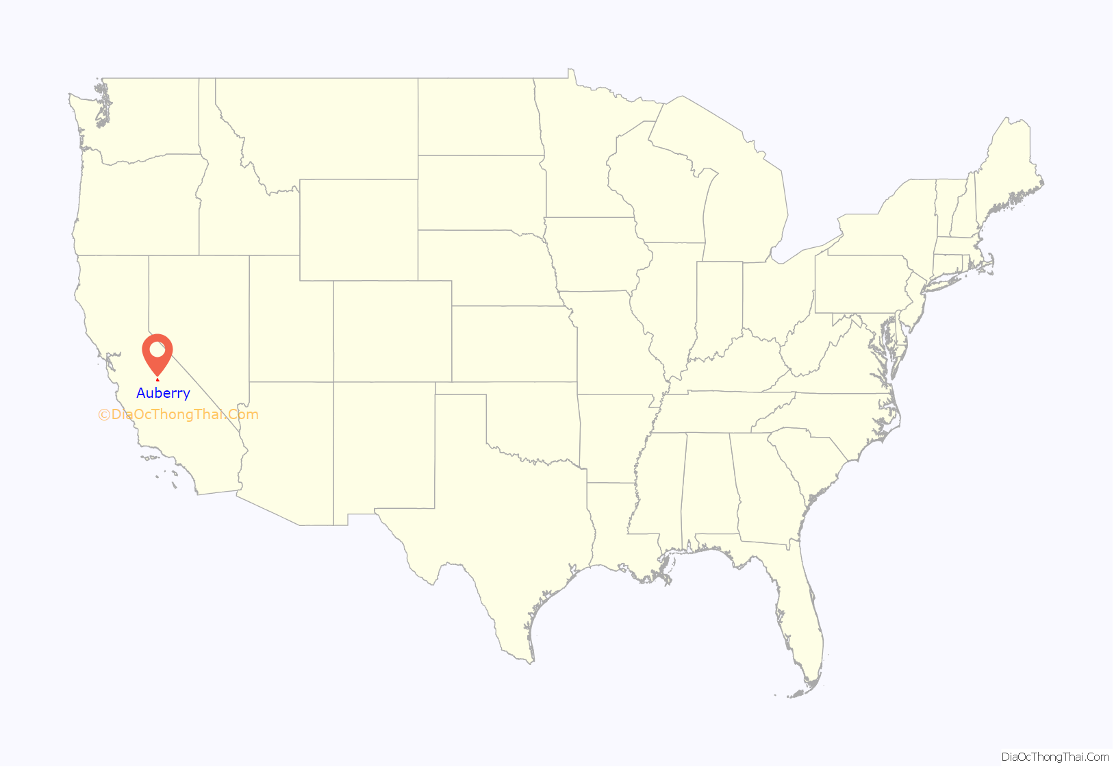
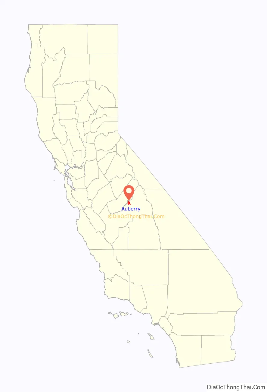
Auberry location map. Where is Auberry CDP?
History
The Auberry post office was established in 1884, and following moves in 1887 and 1888, it was located at its present site in 1906. The place is named for Al Yarborough and is spelled phonetically as his name was pronounced.
The Auberry Band of the Mono people was called unaħpaahtyħ, (that which is on the other side [of the San Joaquin River]) in the Mono language.
Auberry was also a stop on the San Joaquin and Eastern Railroad, which was built to facilitate the construction of the Big Creek Hydroelectric Project.
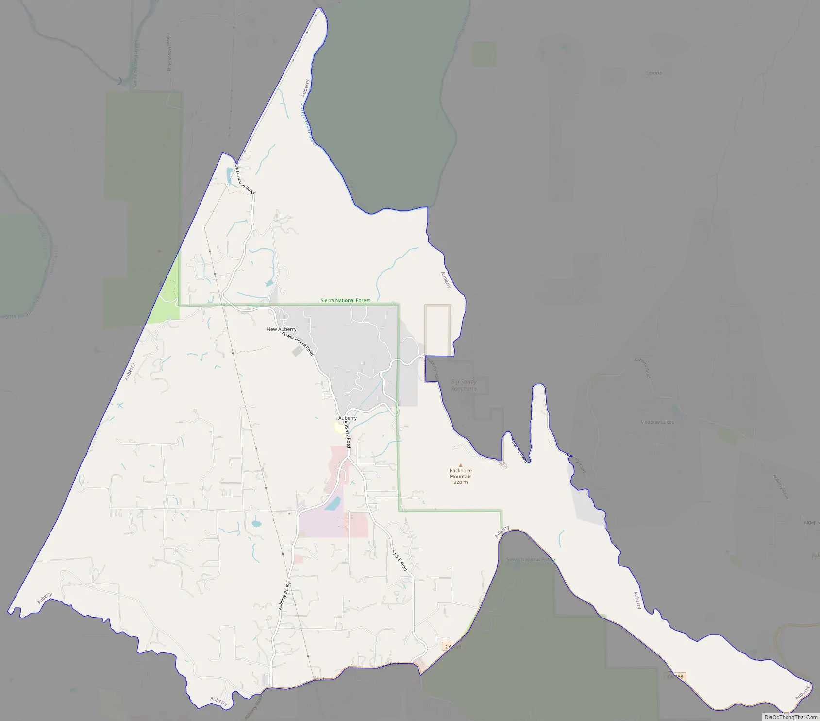
Auberry Road Map
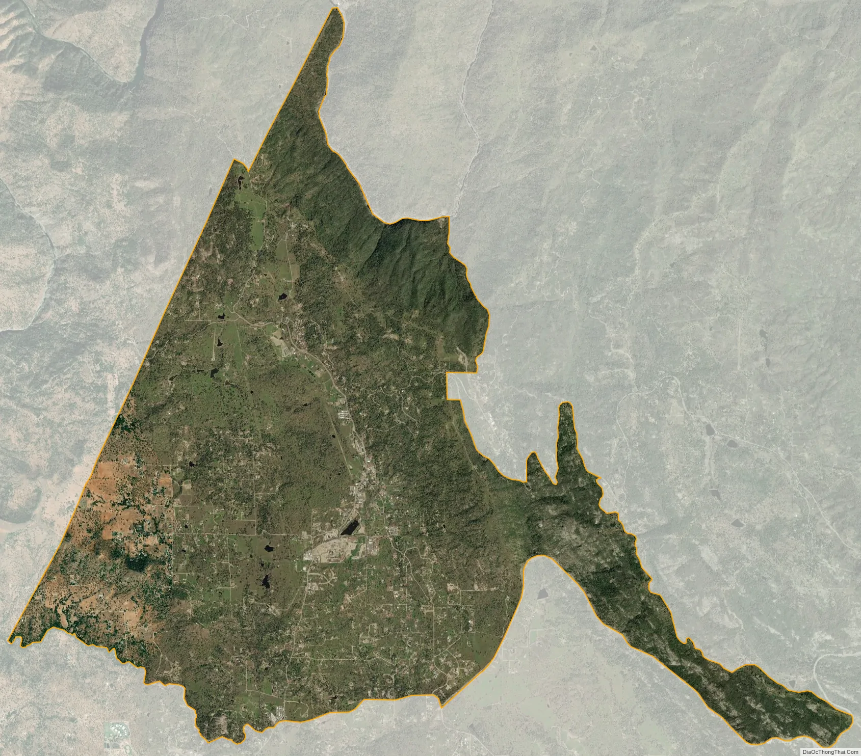
Auberry city Satellite Map
Geography
According to the United States Census Bureau, the CDP has a total area of 19.2 square miles (50 km), of which 19.1 square miles (49 km) is land and 0.1 square miles (0.26 km) (0.32%) is water.
Climate
Auberry has a Mediterranean climate (Köppen Csa) with cool, rainy winters and hot, dry summers. Its average annual precipitation is 26.3 in (670 mm). Its hardiness zone is 8a.
See also
Map of California State and its subdivision:- Alameda
- Alpine
- Amador
- Butte
- Calaveras
- Colusa
- Contra Costa
- Del Norte
- El Dorado
- Fresno
- Glenn
- Humboldt
- Imperial
- Inyo
- Kern
- Kings
- Lake
- Lassen
- Los Angeles
- Madera
- Marin
- Mariposa
- Mendocino
- Merced
- Modoc
- Mono
- Monterey
- Napa
- Nevada
- Orange
- Placer
- Plumas
- Riverside
- Sacramento
- San Benito
- San Bernardino
- San Diego
- San Francisco
- San Joaquin
- San Luis Obispo
- San Mateo
- Santa Barbara
- Santa Clara
- Santa Cruz
- Shasta
- Sierra
- Siskiyou
- Solano
- Sonoma
- Stanislaus
- Sutter
- Tehama
- Trinity
- Tulare
- Tuolumne
- Ventura
- Yolo
- Yuba
- Alabama
- Alaska
- Arizona
- Arkansas
- California
- Colorado
- Connecticut
- Delaware
- District of Columbia
- Florida
- Georgia
- Hawaii
- Idaho
- Illinois
- Indiana
- Iowa
- Kansas
- Kentucky
- Louisiana
- Maine
- Maryland
- Massachusetts
- Michigan
- Minnesota
- Mississippi
- Missouri
- Montana
- Nebraska
- Nevada
- New Hampshire
- New Jersey
- New Mexico
- New York
- North Carolina
- North Dakota
- Ohio
- Oklahoma
- Oregon
- Pennsylvania
- Rhode Island
- South Carolina
- South Dakota
- Tennessee
- Texas
- Utah
- Vermont
- Virginia
- Washington
- West Virginia
- Wisconsin
- Wyoming


