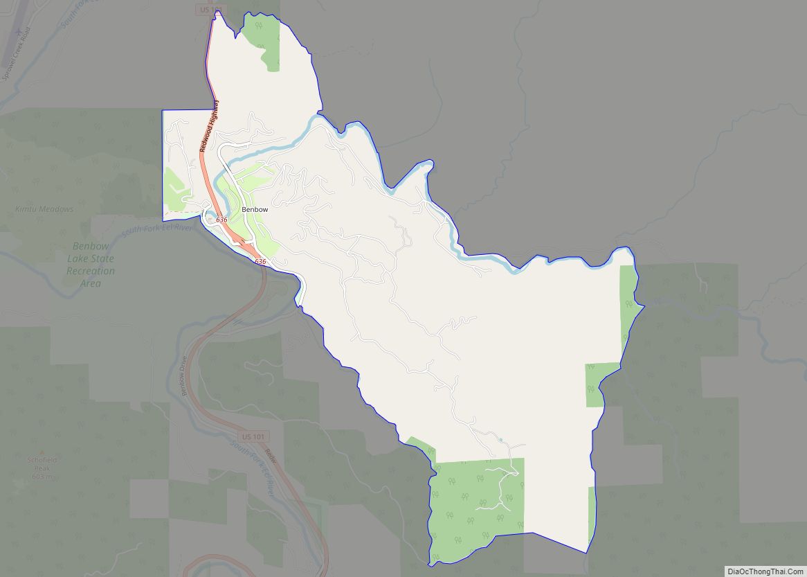
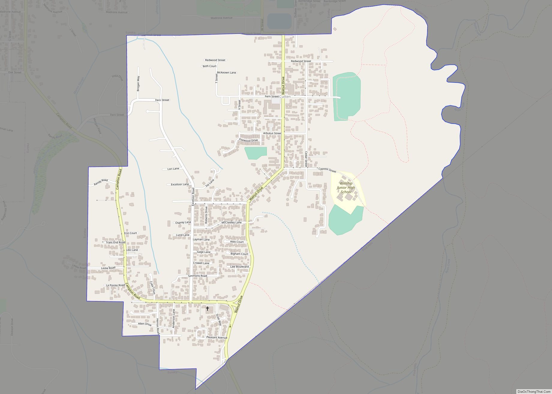
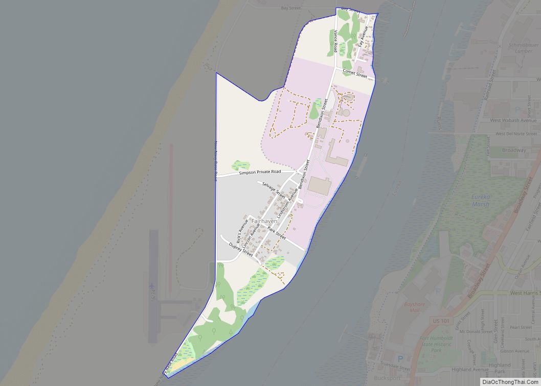
Benbow is a census-designated place in Humboldt County, California, located beside the South Fork Eel River. It is located 2 miles (3.2 km) south-southeast of Garberville, at an elevation of 440 feet (134 m). Its population is 422 as of the 2020 census, up from 321 from the 2010 census.
| Name: | Benbow CDP |
|---|---|
| LSAD Code: | 57 |
| LSAD Description: | CDP (suffix) |
| State: | California |
| County: | Humboldt County |
| Elevation: | 440 ft (134 m) |
| Total Area: | 4.88 sq mi (12.64 km²) |
| Land Area: | 4.88 sq mi (12.64 km²) |
| Water Area: | 0.00 sq mi (0.00 km²) 0% |
| Total Population: | 422 |
| Population Density: | 86/sq mi (33/km²) |
| FIPS code: | 0605262 |
Online Interactive Map
Click on ![]() to view map in "full screen" mode.
to view map in "full screen" mode.
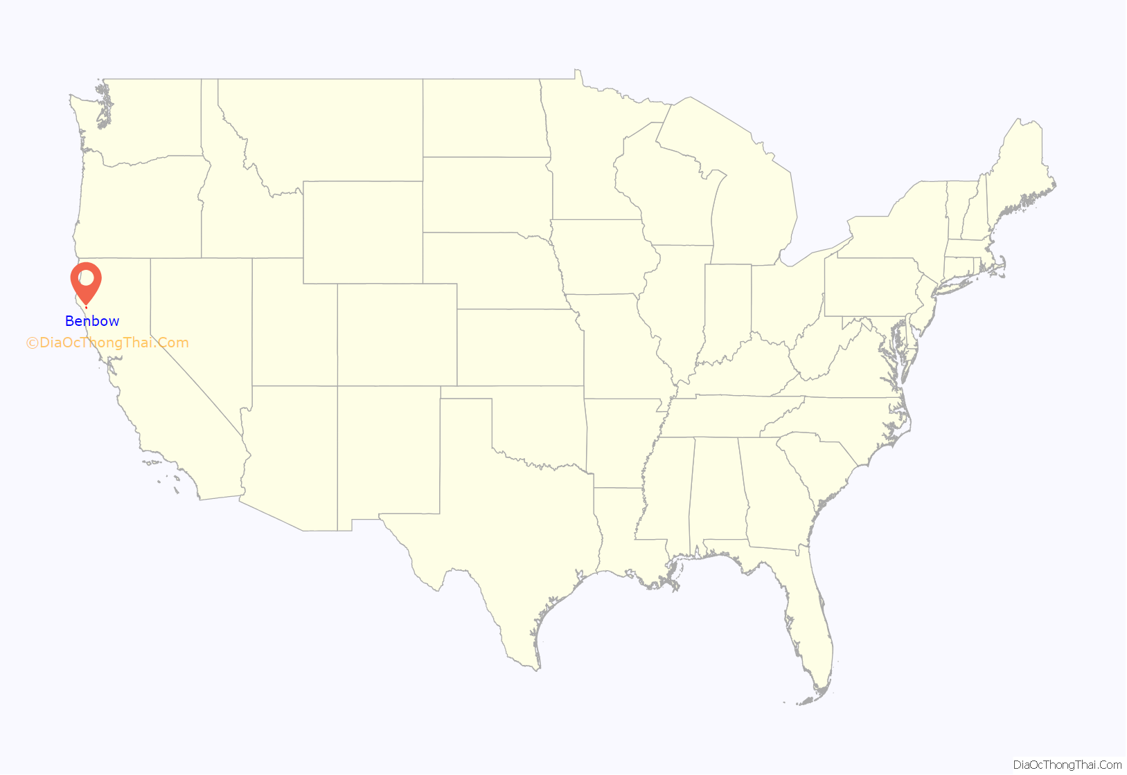
Benbow location map. Where is Benbow CDP?
History
The Children of Arthur Benbow purchased 1,288 acres from Ernest Linser and also some land from John Kamper, Jack Bowden and a Mr. Peirce in 1922. It soon became apparent that ranching would not be sufficient to meet their needs so the family decided to construct the resort hotel that still stands today. The children were Joseph, Evangeline, Burtis, Clara, Helen, Jessie, Loleta, Walter and Robert. Eight of these children were born in Humboldt County. In the early years the Inn was known as the “Hotel Benbow.” It opened on July 17, 1926. The electricity for the hotel came from two diesel generators until a dam and powerhouse was completed on the south fork of the Eel River. The post office was established on December 30, 1929 and operated at Benbow from until it was merged with Garberville on January 31, 1953. The Tudorbethan style inn is still in operation as the premier hotel property on US Route 101 between Humboldt Bay and the San Francisco Bay Area.
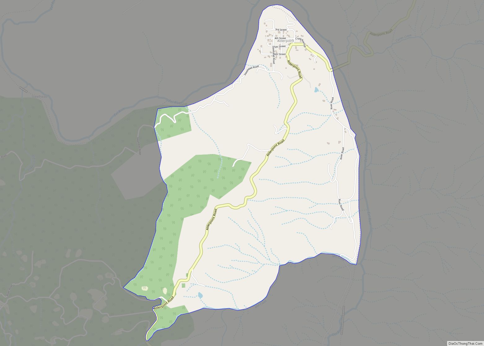
Benbow Road Map
Benbow city Satellite Map
See also
Map of California State and its subdivision:- Alameda
- Alpine
- Amador
- Butte
- Calaveras
- Colusa
- Contra Costa
- Del Norte
- El Dorado
- Fresno
- Glenn
- Humboldt
- Imperial
- Inyo
- Kern
- Kings
- Lake
- Lassen
- Los Angeles
- Madera
- Marin
- Mariposa
- Mendocino
- Merced
- Modoc
- Mono
- Monterey
- Napa
- Nevada
- Orange
- Placer
- Plumas
- Riverside
- Sacramento
- San Benito
- San Bernardino
- San Diego
- San Francisco
- San Joaquin
- San Luis Obispo
- San Mateo
- Santa Barbara
- Santa Clara
- Santa Cruz
- Shasta
- Sierra
- Siskiyou
- Solano
- Sonoma
- Stanislaus
- Sutter
- Tehama
- Trinity
- Tulare
- Tuolumne
- Ventura
- Yolo
- Yuba
- Alabama
- Alaska
- Arizona
- Arkansas
- California
- Colorado
- Connecticut
- Delaware
- District of Columbia
- Florida
- Georgia
- Hawaii
- Idaho
- Illinois
- Indiana
- Iowa
- Kansas
- Kentucky
- Louisiana
- Maine
- Maryland
- Massachusetts
- Michigan
- Minnesota
- Mississippi
- Missouri
- Montana
- Nebraska
- Nevada
- New Hampshire
- New Jersey
- New Mexico
- New York
- North Carolina
- North Dakota
- Ohio
- Oklahoma
- Oregon
- Pennsylvania
- Rhode Island
- South Carolina
- South Dakota
- Tennessee
- Texas
- Utah
- Vermont
- Virginia
- Washington
- West Virginia
- Wisconsin
- Wyoming
