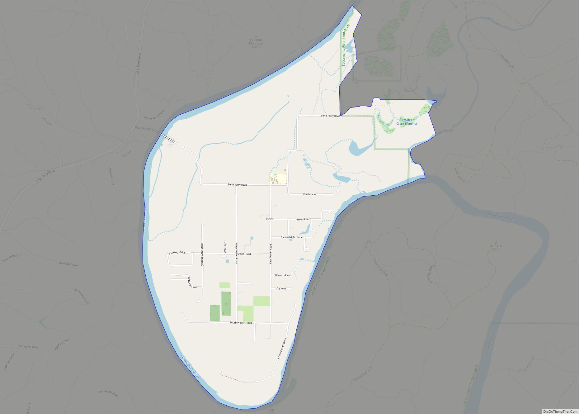
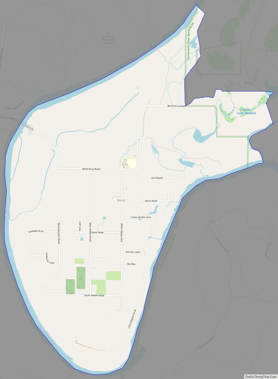
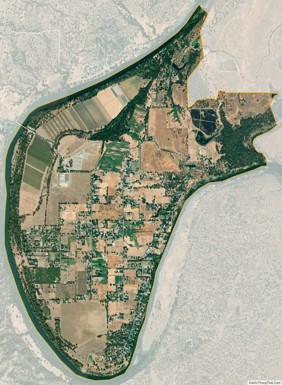
Bend is a census-designated place in Tehama County, California, United States. Bend is located on the Sacramento River 6 miles (9.7 km) north-northeast of Red Bluff. Bend had a post office from 1897 to 1935. The community was originally known as Horsethief Bend; the name was changed to Sander’s Bend and later shortened to Bend. The community was named after a nearby meander in the Sacramento River. The population was 619 at the 2010 census.
| Name: | Bend CDP |
|---|---|
| LSAD Code: | 57 |
| LSAD Description: | CDP (suffix) |
| State: | California |
| County: | Tehama County |
| Elevation: | 335 ft (102 m) |
| Total Area: | 3.17 sq mi (8.21 km²) |
| Land Area: | 2.91 sq mi (7.55 km²) |
| Water Area: | 0.26 sq mi (0.66 km²) 8.07% |
| Total Population: | 603 |
| Population Density: | 206.93/sq mi (79.89/km²) |
| ZIP code: | 96080 |
| Area code: | 530 |
| FIPS code: | 0605276 |
Online Interactive Map
Click on ![]() to view map in "full screen" mode.
to view map in "full screen" mode.
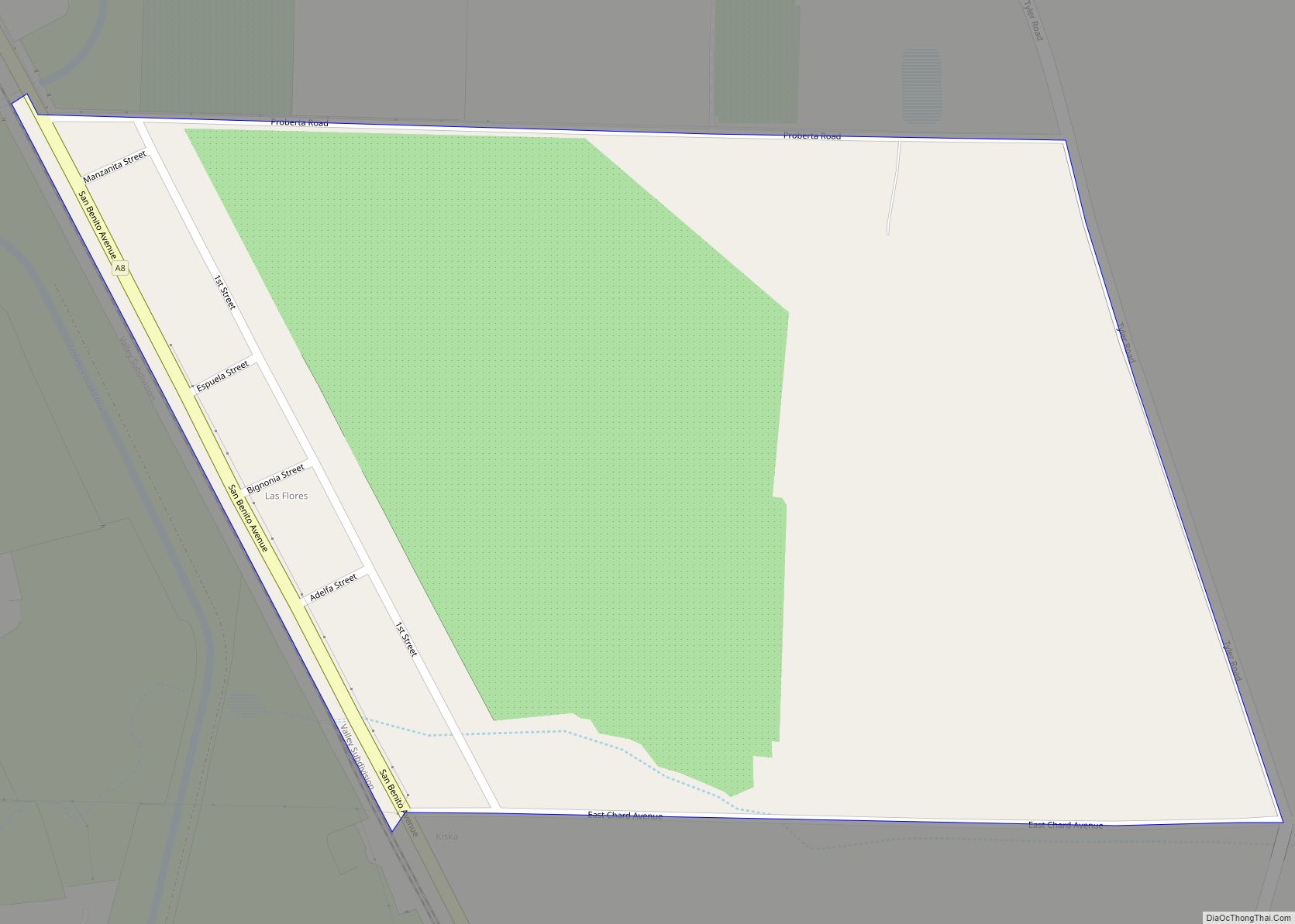
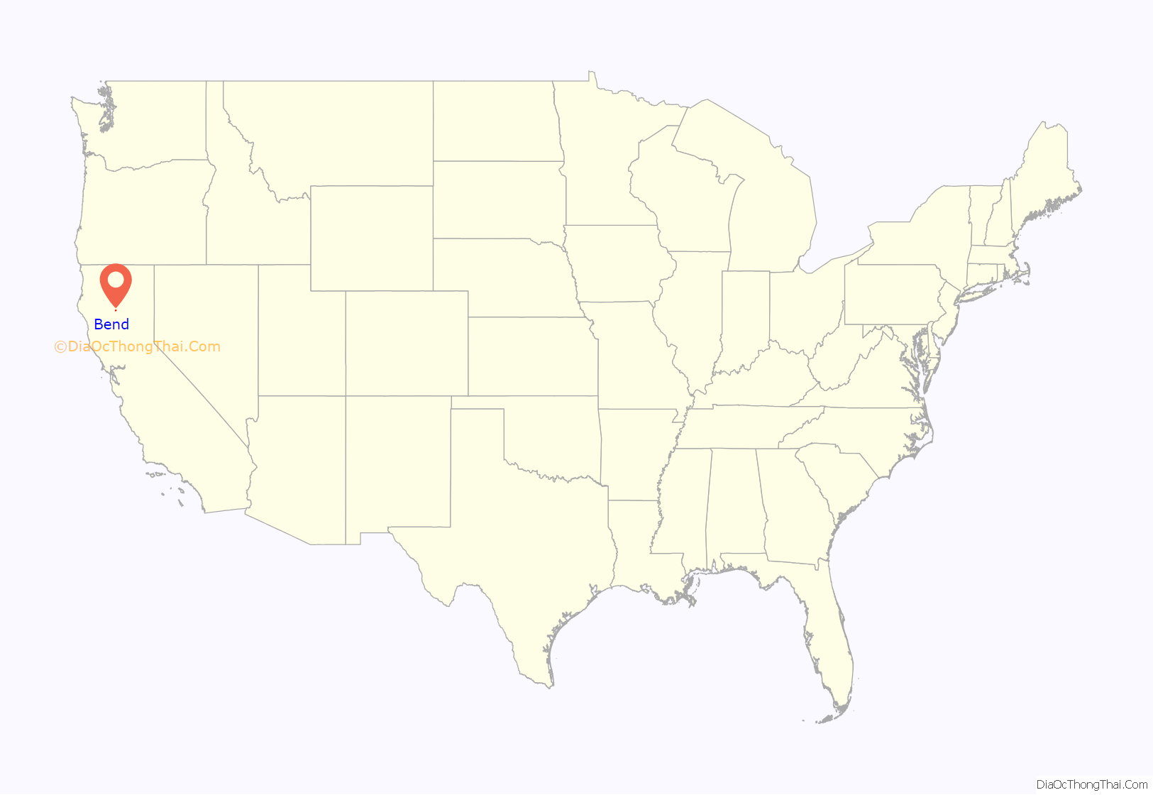
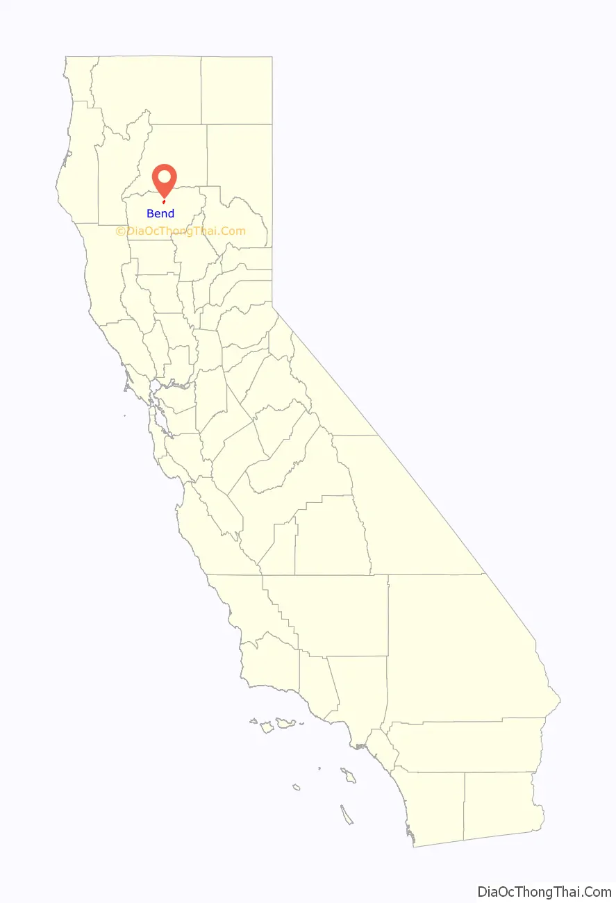
Bend location map. Where is Bend CDP?
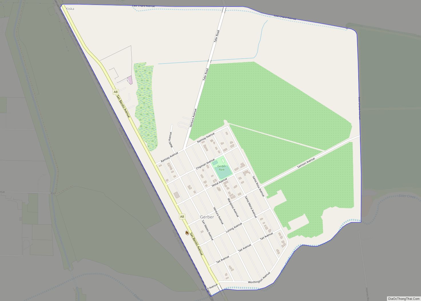
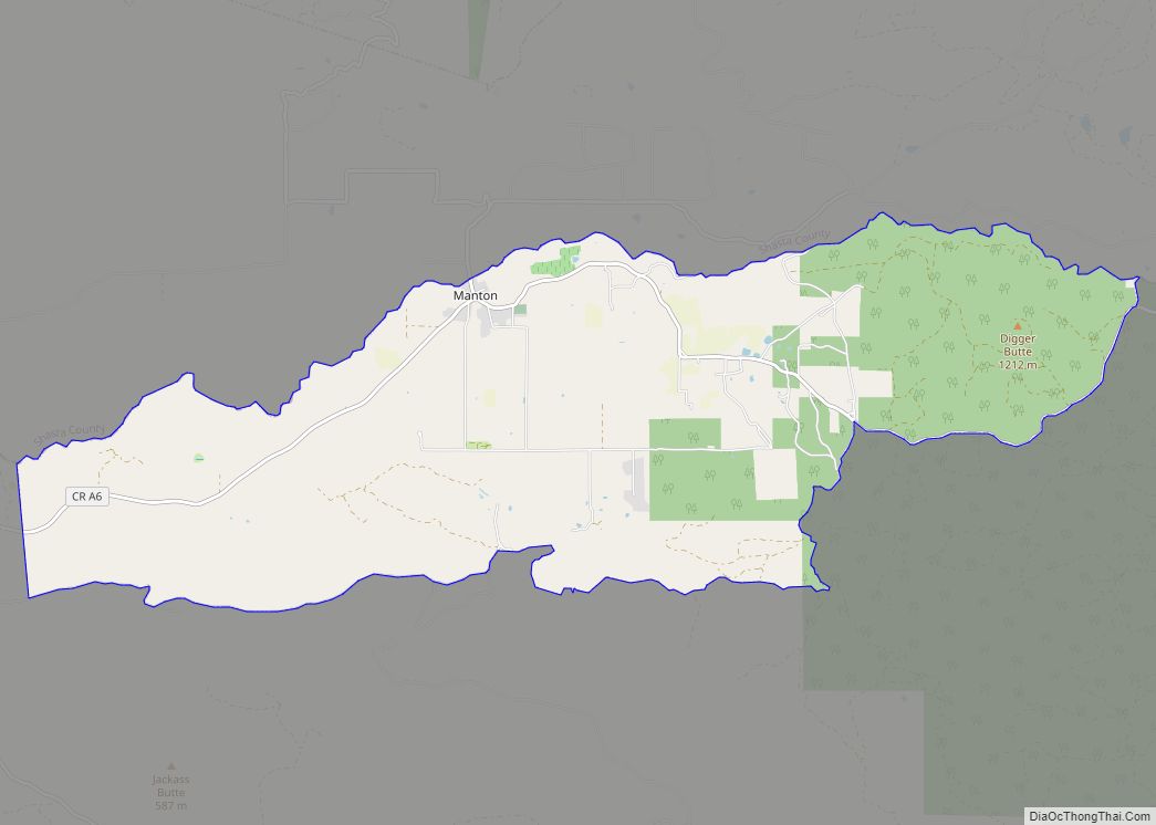
Bend Road Map
Bend city Satellite Map
Geography
According to the United States Census Bureau, the CDP covers an area of 3.1 square miles (8.2 km), 2.9 square miles (7.6 km) of it land and 0.3 square miles (0.7 km) of it (8.07%) water.
See also
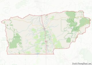
Map of California State and its subdivision:- Alameda
- Alpine
- Amador
- Butte
- Calaveras
- Colusa
- Contra Costa
- Del Norte
- El Dorado
- Fresno
- Glenn
- Humboldt
- Imperial
- Inyo
- Kern
- Kings
- Lake
- Lassen
- Los Angeles
- Madera
- Marin
- Mariposa
- Mendocino
- Merced
- Modoc
- Mono
- Monterey
- Napa
- Nevada
- Orange
- Placer
- Plumas
- Riverside
- Sacramento
- San Benito
- San Bernardino
- San Diego
- San Francisco
- San Joaquin
- San Luis Obispo
- San Mateo
- Santa Barbara
- Santa Clara
- Santa Cruz
- Shasta
- Sierra
- Siskiyou
- Solano
- Sonoma
- Stanislaus
- Sutter
- Tehama
- Trinity
- Tulare
- Tuolumne
- Ventura
- Yolo
- Yuba
- Alabama
- Alaska
- Arizona
- Arkansas
- California
- Colorado
- Connecticut
- Delaware
- District of Columbia
- Florida
- Georgia
- Hawaii
- Idaho
- Illinois
- Indiana
- Iowa
- Kansas
- Kentucky
- Louisiana
- Maine
- Maryland
- Massachusetts
- Michigan
- Minnesota
- Mississippi
- Missouri
- Montana
- Nebraska
- Nevada
- New Hampshire
- New Jersey
- New Mexico
- New York
- North Carolina
- North Dakota
- Ohio
- Oklahoma
- Oregon
- Pennsylvania
- Rhode Island
- South Carolina
- South Dakota
- Tennessee
- Texas
- Utah
- Vermont
- Virginia
- Washington
- West Virginia
- Wisconsin
- Wyoming