Big Creek (Big Creek Flats in the 1870s; Manzanita Park in 1902; until 1926, Cascada) is a small census-designated place in Fresno County, California, located in the Sierra Nevada on the north bank of Big Creek. It lies at an elevation of 4,984 feet (1,519 m) above sea level. Its last population count was 175. The ZIP code is 93605, and the community is inside area code 559.
| Name: | Big Creek CDP |
|---|---|
| LSAD Code: | 57 |
| LSAD Description: | CDP (suffix) |
| State: | California |
| County: | Fresno County |
| Elevation: | 4,984 ft (1,519 m) |
| Total Area: | 0.46 sq mi (1.19 km²) |
| Land Area: | 0.46 sq mi (1.19 km²) |
| Water Area: | 0.00 sq mi (0.00 km²) 0% |
| Total Population: | 151 |
| Population Density: | 328.26/sq mi (126.73/km²) |
| ZIP code: | 93605 |
| FIPS code: | 0606518 |
| GNISfeature ID: | 1659696; 2628711 |
Online Interactive Map
Click on ![]() to view map in "full screen" mode.
to view map in "full screen" mode.
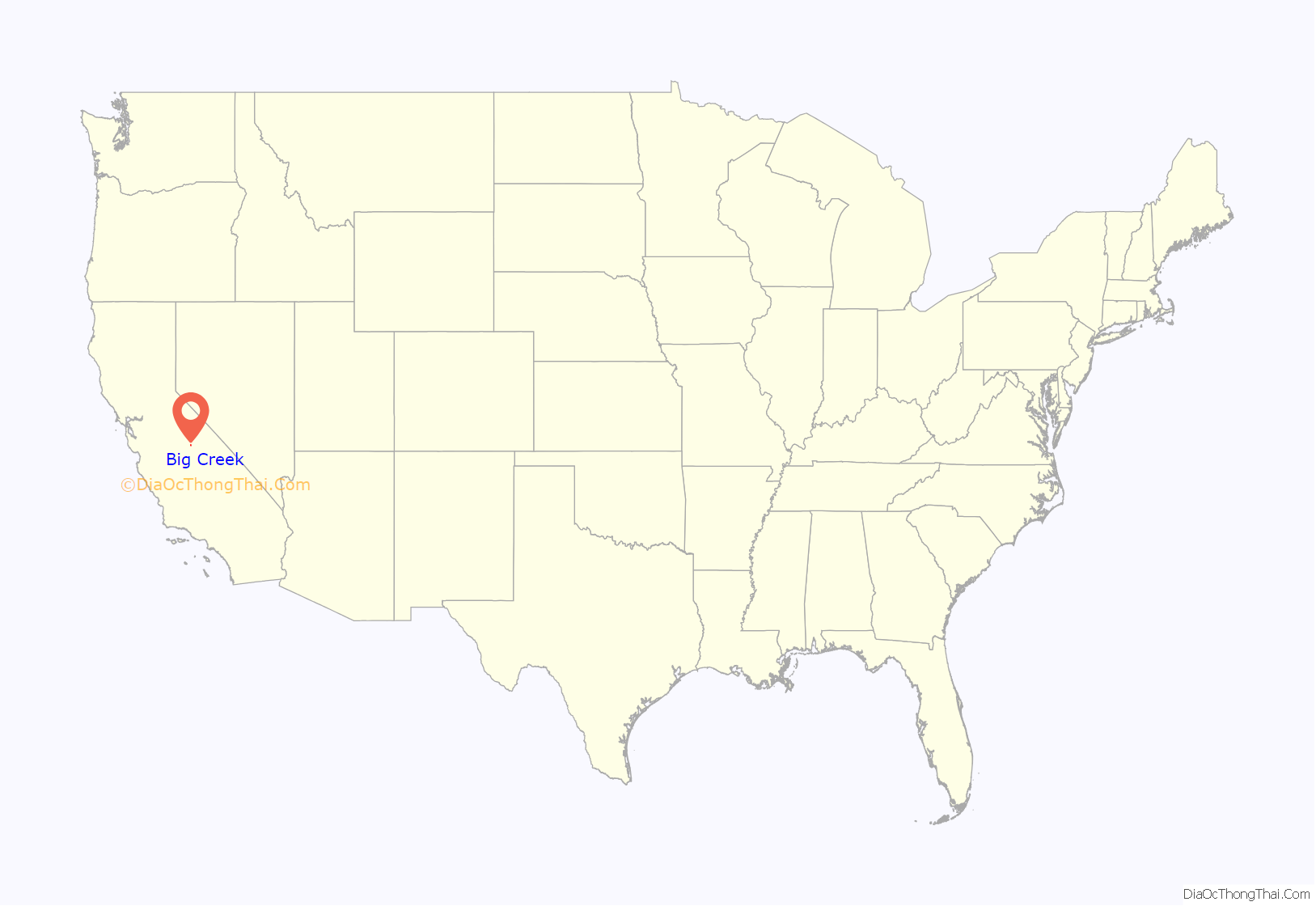
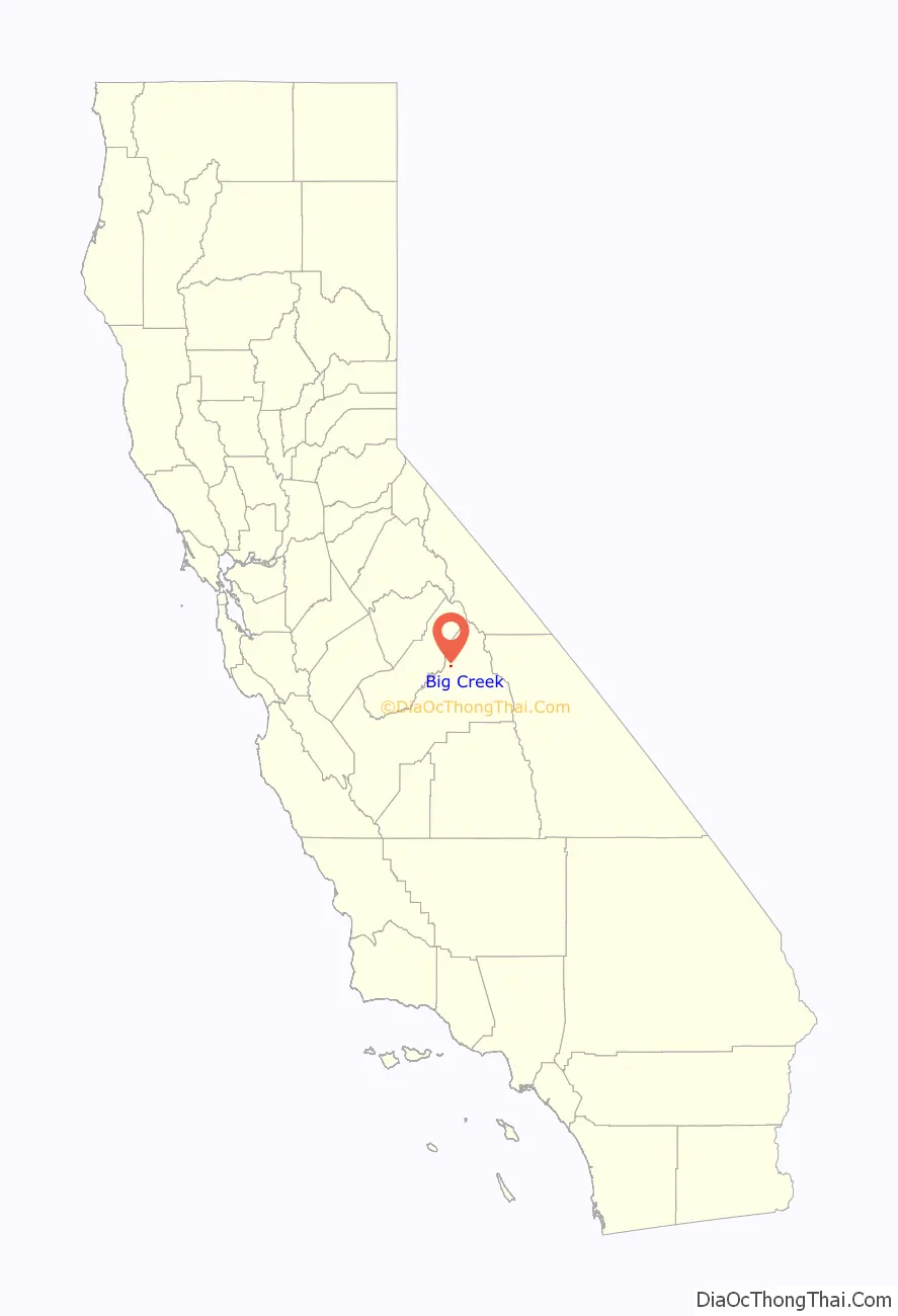
Big Creek location map. Where is Big Creek CDP?
History
Big Creek was built at the site of the first dam and power plant of Southern California Edison’s Big Creek Hydroelectric Project, one of the most extensive in the world. Other than the private helipad owned by Southern California Edison, the only way in or out of the town is Big Creek Road, off of State Route 168. The dam has a walkway across it to the south bank, but access is limited to employees of SCE and those residents who have been given a key. Its major industries are electric power generation and tourism. There is camping and water recreation in the summer and snow skiing in the winter. Huntington Lake is to the northeast and Shaver Lake is to the south. China Peak is only about 15 kilometers (9.3 mi) away. Though Big Creek’s only school is an elementary, it teaches kindergarten through 8th grade.
The penstock pipes for the original two units at Big Creek Power Houses One and Two, built 1912–13, were purchased from the Krupp Works in Germany because at that time that manufacturer produced steel pipes of the tensile strength needed to contain the very high water pressures in the pipes in the 1,500 foot (460 m) drop down to Power House One. All post-World War One penstock pipes were manufactured in the United States.
The first post office opened at Big Creek in 1912.
Half the town’s homes were destroyed by the 2020 Creek Fire.
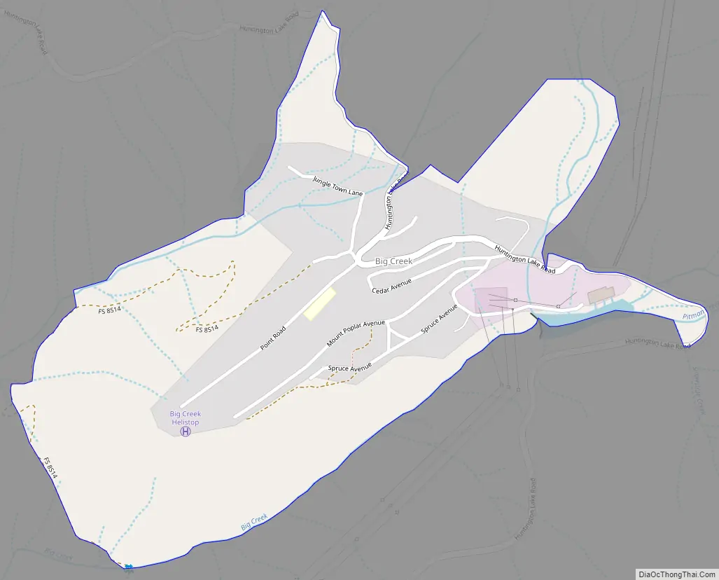
Big Creek Road Map
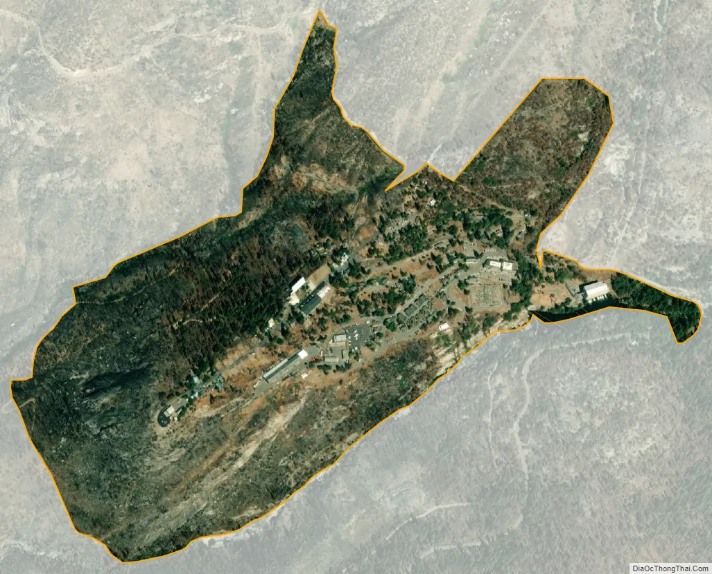
Big Creek city Satellite Map
See also
Map of California State and its subdivision:- Alameda
- Alpine
- Amador
- Butte
- Calaveras
- Colusa
- Contra Costa
- Del Norte
- El Dorado
- Fresno
- Glenn
- Humboldt
- Imperial
- Inyo
- Kern
- Kings
- Lake
- Lassen
- Los Angeles
- Madera
- Marin
- Mariposa
- Mendocino
- Merced
- Modoc
- Mono
- Monterey
- Napa
- Nevada
- Orange
- Placer
- Plumas
- Riverside
- Sacramento
- San Benito
- San Bernardino
- San Diego
- San Francisco
- San Joaquin
- San Luis Obispo
- San Mateo
- Santa Barbara
- Santa Clara
- Santa Cruz
- Shasta
- Sierra
- Siskiyou
- Solano
- Sonoma
- Stanislaus
- Sutter
- Tehama
- Trinity
- Tulare
- Tuolumne
- Ventura
- Yolo
- Yuba
- Alabama
- Alaska
- Arizona
- Arkansas
- California
- Colorado
- Connecticut
- Delaware
- District of Columbia
- Florida
- Georgia
- Hawaii
- Idaho
- Illinois
- Indiana
- Iowa
- Kansas
- Kentucky
- Louisiana
- Maine
- Maryland
- Massachusetts
- Michigan
- Minnesota
- Mississippi
- Missouri
- Montana
- Nebraska
- Nevada
- New Hampshire
- New Jersey
- New Mexico
- New York
- North Carolina
- North Dakota
- Ohio
- Oklahoma
- Oregon
- Pennsylvania
- Rhode Island
- South Carolina
- South Dakota
- Tennessee
- Texas
- Utah
- Vermont
- Virginia
- Washington
- West Virginia
- Wisconsin
- Wyoming


