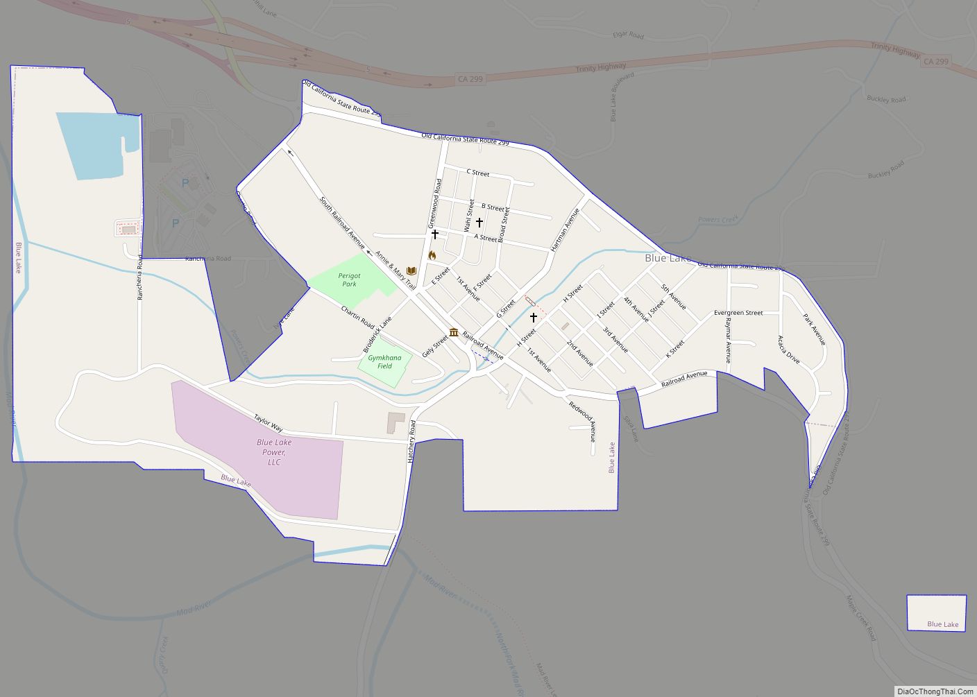
Blue Lake (formerly, Scottsville) is a city in Humboldt County, California, United States. Blue Lake is located on the Mad River in a deep valley, 16 miles (26 km) northeast of Eureka, at an elevation of 131 feet (40 m). Its population is 1,208 as of the 2020 census, down from 1,253 from the 2010 census.
| Name: | Blue Lake city |
|---|---|
| LSAD Code: | 25 |
| LSAD Description: | city (suffix) |
| State: | California |
| County: | Humboldt County |
| Incorporated: | April 23, 1910 |
| Elevation: | 131 ft (40 m) |
| Total Area: | 0.62 sq mi (1.61 km²) |
| Land Area: | 0.59 sq mi (1.54 km²) |
| Water Area: | 0.03 sq mi (0.08 km²) 4.8% |
| Total Population: | 1,208 |
| Population Density: | 2,033.67/sq mi (785.75/km²) |
| ZIP code: | 95525 |
| Area code: | 707 |
| FIPS code: | 0607162 |
| Website: | bluelake.ca.gov |
Online Interactive Map
Click on ![]() to view map in "full screen" mode.
to view map in "full screen" mode.
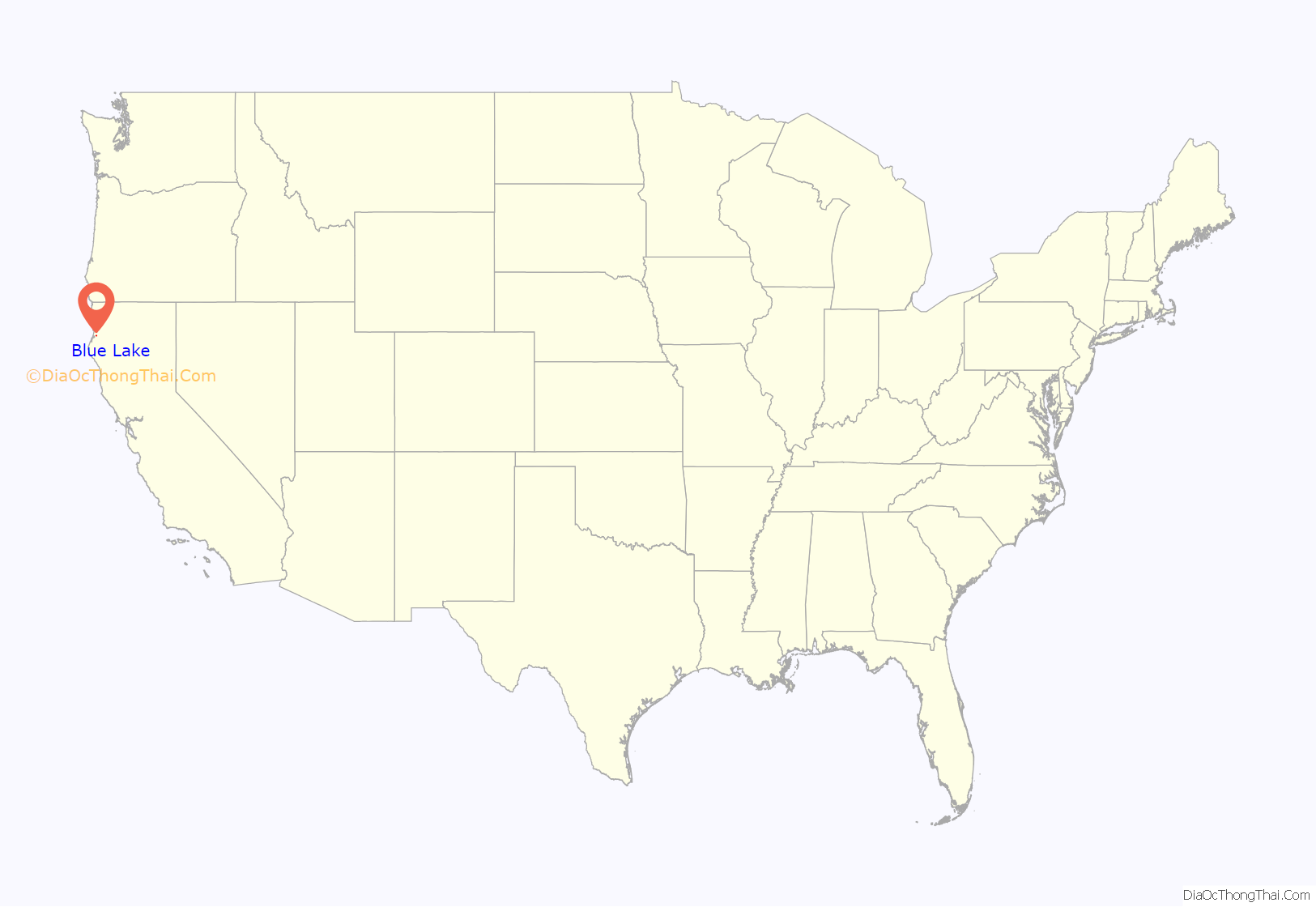
Blue Lake location map. Where is Blue Lake city?
History
Present Blue Lake comprises “old” Blue Lake, Powersville, and Scottsville. In 1854, Augusta Bates settled in the Scottsville area and sold to Brice M. Stokes in 1862. In 1861, the 13-acre Blue Lake was formed from flooding of the north fork of Mad River, and it gave the town a resort atmosphere. As the river changed course in the 1920s, the lake disappeared to become what today is a small pond on private property.
In 1866, William Scott purchased land from Brice M. Stokes and established “Scott’s Farm,” later becoming Scottsville. Powersville was established in 1869 by David Powers on land originally claimed by Augusta Bates, Brice M. Stokes and William Scott.
In 1876 a post office opened, named “Mad River.” The post office named Blue Lake was established in 1878. The town of Blue Lake was incorporated on April 11, 1910.
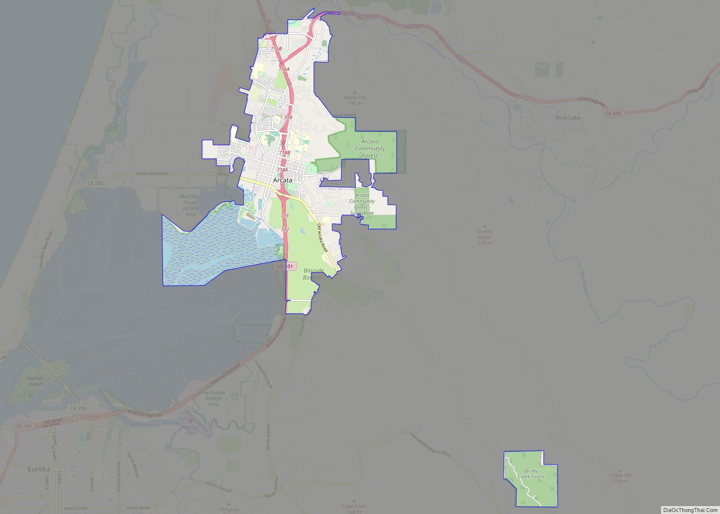
Blue Lake Road Map
Blue Lake city Satellite Map
Geography
According to the United States Census Bureau, the city has a total area of 0.6 square miles (1.6 km), over 95% of which is land.
See also
Map of California State and its subdivision:- Alameda
- Alpine
- Amador
- Butte
- Calaveras
- Colusa
- Contra Costa
- Del Norte
- El Dorado
- Fresno
- Glenn
- Humboldt
- Imperial
- Inyo
- Kern
- Kings
- Lake
- Lassen
- Los Angeles
- Madera
- Marin
- Mariposa
- Mendocino
- Merced
- Modoc
- Mono
- Monterey
- Napa
- Nevada
- Orange
- Placer
- Plumas
- Riverside
- Sacramento
- San Benito
- San Bernardino
- San Diego
- San Francisco
- San Joaquin
- San Luis Obispo
- San Mateo
- Santa Barbara
- Santa Clara
- Santa Cruz
- Shasta
- Sierra
- Siskiyou
- Solano
- Sonoma
- Stanislaus
- Sutter
- Tehama
- Trinity
- Tulare
- Tuolumne
- Ventura
- Yolo
- Yuba
- Alabama
- Alaska
- Arizona
- Arkansas
- California
- Colorado
- Connecticut
- Delaware
- District of Columbia
- Florida
- Georgia
- Hawaii
- Idaho
- Illinois
- Indiana
- Iowa
- Kansas
- Kentucky
- Louisiana
- Maine
- Maryland
- Massachusetts
- Michigan
- Minnesota
- Mississippi
- Missouri
- Montana
- Nebraska
- Nevada
- New Hampshire
- New Jersey
- New Mexico
- New York
- North Carolina
- North Dakota
- Ohio
- Oklahoma
- Oregon
- Pennsylvania
- Rhode Island
- South Carolina
- South Dakota
- Tennessee
- Texas
- Utah
- Vermont
- Virginia
- Washington
- West Virginia
- Wisconsin
- Wyoming
