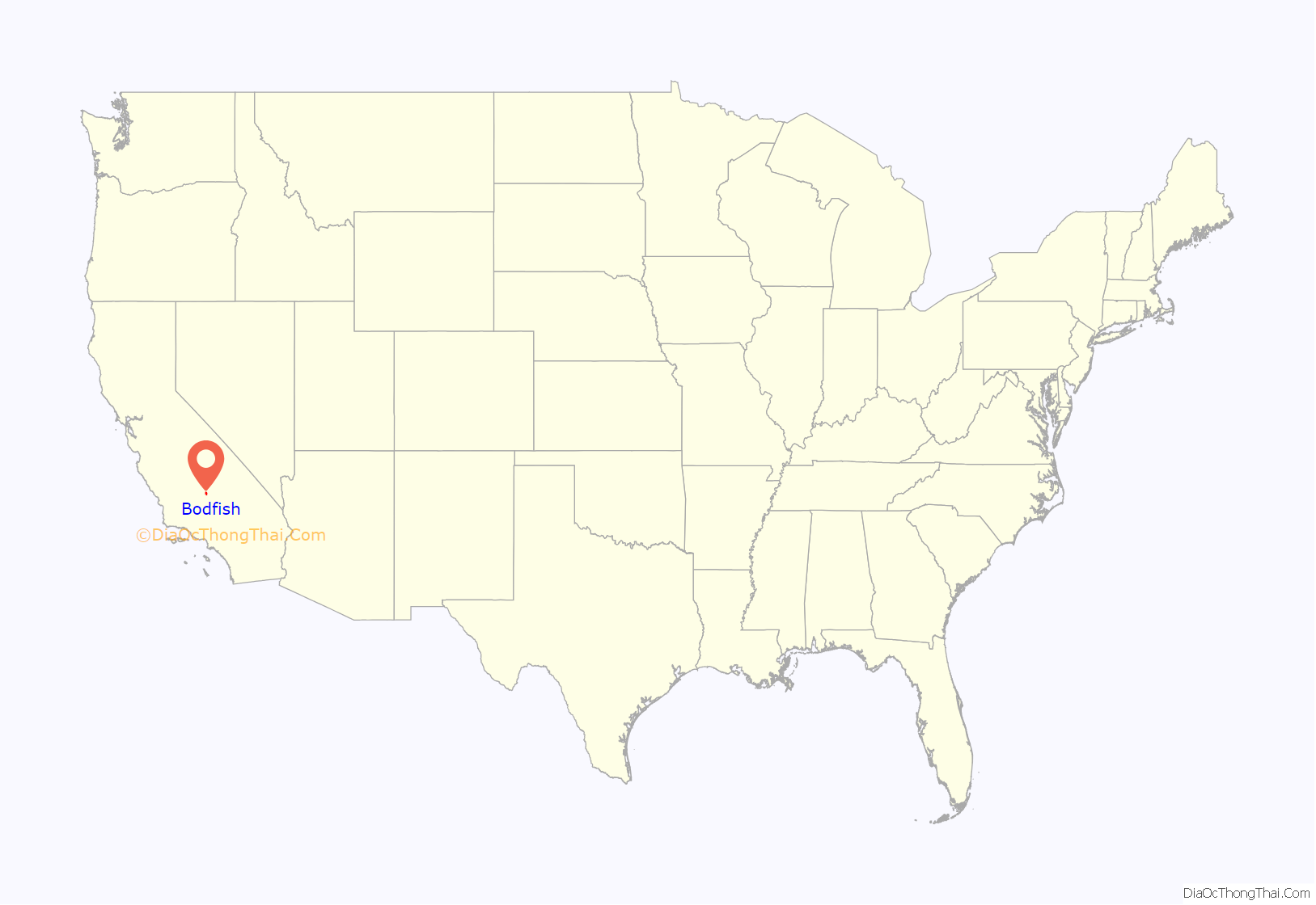
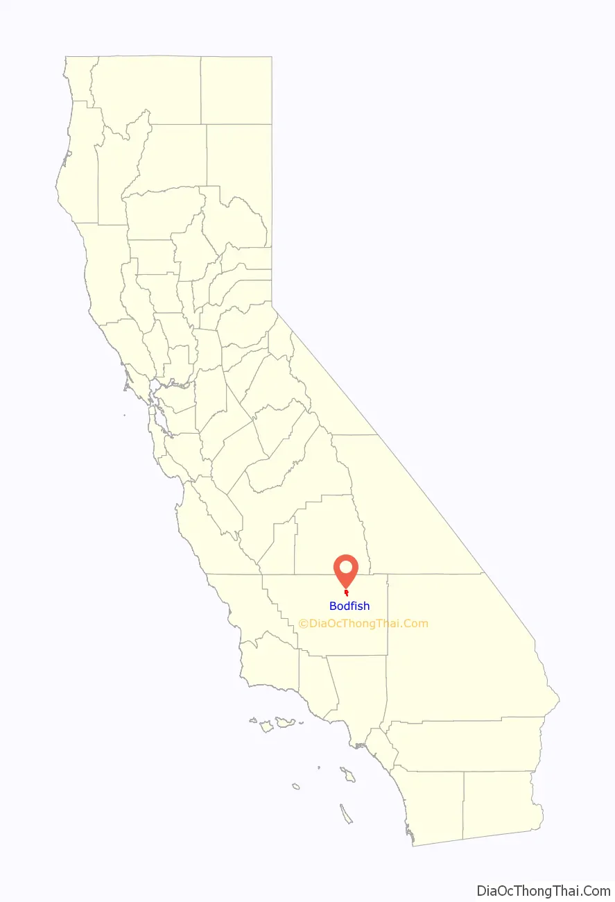
Bodfish is a census-designated place (CDP) in the southern Kern River Valley of the Southern Sierra Nevada, in Kern County, California.
Bodfish is located 32 miles (51 km) east-northeast of Bakersfield, at an elevation of 2,687 feet (819 m).
The population was 1,956 at the 2010 census, up from 1,823 at the 2000 census.
| Name: | Bodfish CDP |
|---|---|
| LSAD Code: | 57 |
| LSAD Description: | CDP (suffix) |
| State: | California |
| County: | Kern County |
| Elevation: | 2,687 ft (819 m) |
| Total Area: | 8.23 sq mi (21.31 km²) |
| Land Area: | 8.21 sq mi (21.27 km²) |
| Water Area: | 0.01 sq mi (0.03 km²) 0.15% |
| Total Population: | 2,008 |
| Population Density: | 244.46/sq mi (94.39/km²) |
| ZIP code: | 93205 |
| FIPS code: | 0607274 |
| GNISfeature ID: | 1660353 |
Online Interactive Map
Click on ![]() to view map in "full screen" mode.
to view map in "full screen" mode.
Bodfish location map. Where is Bodfish CDP?
History
The place was named for George Homer Bodfish, who settled nearby in 1867.
The Bodfish post office first opened in 1892, closed in 1895, and re-opened in 1906. The Vaughn post office was moved to Bodfish in 1906.
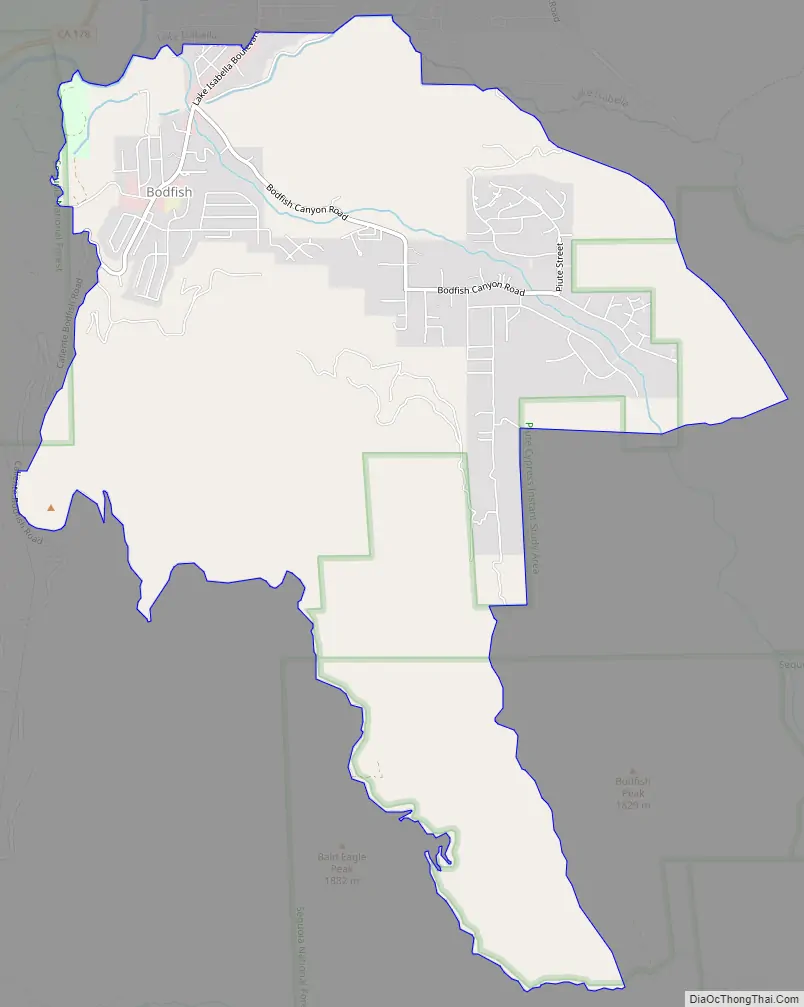
Bodfish Road Map
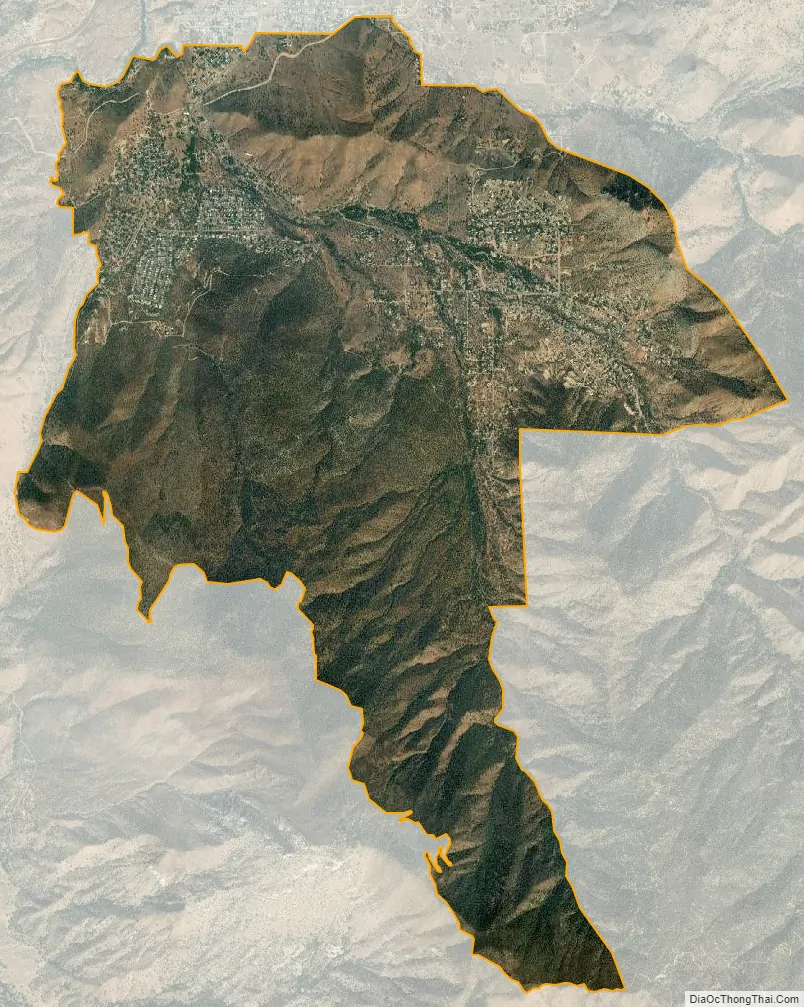
Bodfish city Satellite Map
See also
Map of California State and its subdivision:- Alameda
- Alpine
- Amador
- Butte
- Calaveras
- Colusa
- Contra Costa
- Del Norte
- El Dorado
- Fresno
- Glenn
- Humboldt
- Imperial
- Inyo
- Kern
- Kings
- Lake
- Lassen
- Los Angeles
- Madera
- Marin
- Mariposa
- Mendocino
- Merced
- Modoc
- Mono
- Monterey
- Napa
- Nevada
- Orange
- Placer
- Plumas
- Riverside
- Sacramento
- San Benito
- San Bernardino
- San Diego
- San Francisco
- San Joaquin
- San Luis Obispo
- San Mateo
- Santa Barbara
- Santa Clara
- Santa Cruz
- Shasta
- Sierra
- Siskiyou
- Solano
- Sonoma
- Stanislaus
- Sutter
- Tehama
- Trinity
- Tulare
- Tuolumne
- Ventura
- Yolo
- Yuba
- Alabama
- Alaska
- Arizona
- Arkansas
- California
- Colorado
- Connecticut
- Delaware
- District of Columbia
- Florida
- Georgia
- Hawaii
- Idaho
- Illinois
- Indiana
- Iowa
- Kansas
- Kentucky
- Louisiana
- Maine
- Maryland
- Massachusetts
- Michigan
- Minnesota
- Mississippi
- Missouri
- Montana
- Nebraska
- Nevada
- New Hampshire
- New Jersey
- New Mexico
- New York
- North Carolina
- North Dakota
- Ohio
- Oklahoma
- Oregon
- Pennsylvania
- Rhode Island
- South Carolina
- South Dakota
- Tennessee
- Texas
- Utah
- Vermont
- Virginia
- Washington
- West Virginia
- Wisconsin
- Wyoming


