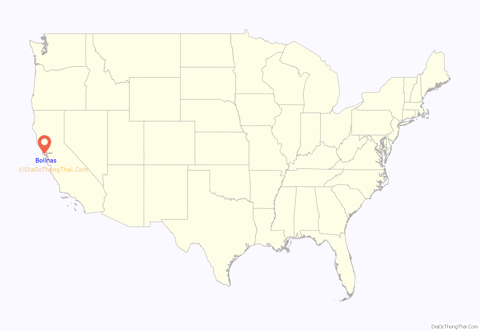
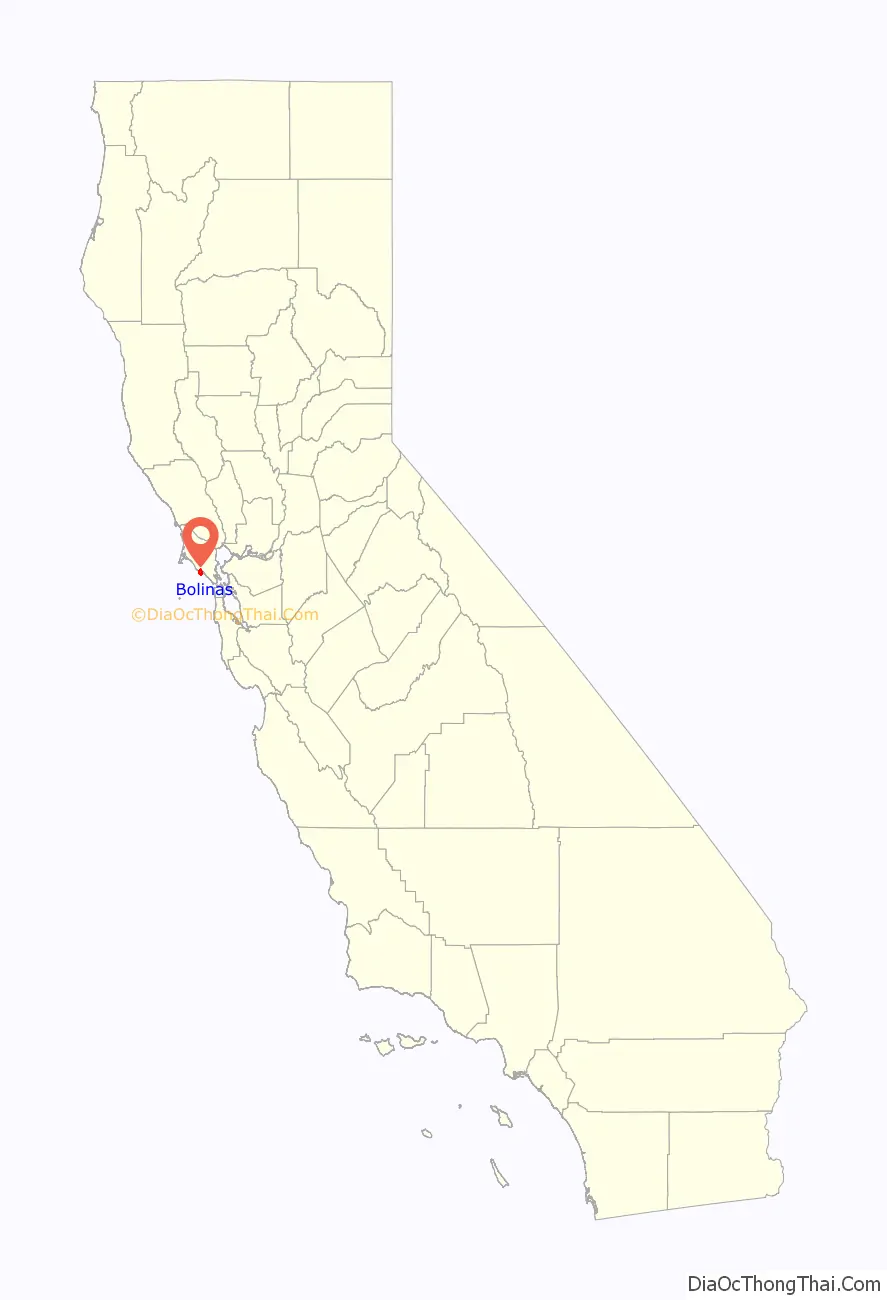
Bolinas is an unincorporated coastal community and census-designated place in Marin County, California, United States. As of the 2020 census it had a population of 1,483. It is located on the California coast, approximately 13 miles (21 km) (straight line distance) northwest of San Francisco, and 27 miles (43 km) by road.
The community is known for its reclusive residents. It is only accessible via unmarked roads; any road sign along State Route 1 that points the way into town has been torn down by local residents, to the point where county officials offered a ballot measure to which the voters responded by stating a preference for no more signs.
| Name: | Bolinas CDP |
|---|---|
| LSAD Code: | 57 |
| LSAD Description: | CDP (suffix) |
| State: | California |
| County: | Marin County |
| Elevation: | 36 ft (11 m) |
| Total Area: | 5.83 sq mi (15.09 km²) |
| Land Area: | 5.83 sq mi (15.09 km²) |
| Water Area: | 0.00 sq mi (0.00 km²) 0% |
| Total Population: | 1,483 |
| Population Density: | 254.55/sq mi (98.27/km²) |
| ZIP code: | 94924 |
| FIPS code: | 0607316 |
Online Interactive Map
Click on ![]() to view map in "full screen" mode.
to view map in "full screen" mode.
Bolinas location map. Where is Bolinas CDP?
History
Prior to the European colonization of California, the Coast Miwok lived in the area, possibly calling the area “Bali-N”.
Bolinas and present-day Stinson Beach were once encompassed by Rancho Las Baulines, a Mexican land grant given by Governor Pío Pico to Gregorio Briones in 1846.
The first post office in the town of Bolinas opened in 1863.
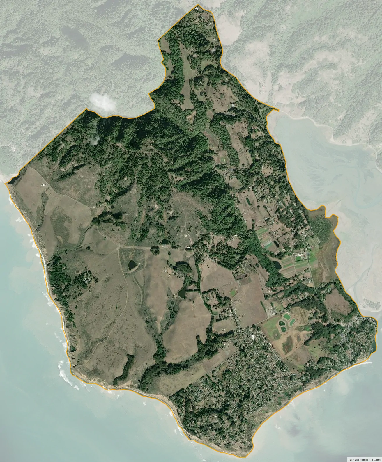
In 1927, a 300 acres (121 ha) former dairy farm on the Big Mesa was subdivided into a grid of streets and 5,336 lots measuring 20 ft × 100 ft (6.1 m × 30.5 m). Many of these lots were sold for $69.50 by the San Francisco Bulletin as a subscription promotion. Portions of the mesa, including sections of Ocean Parkway, have since eroded into the sea. A few streets on the mesa are paved and maintained by the county, but many are unpaved, and either maintained by adjoining property owners or completely unmaintained. The Big Mesa has no sewer system, and houses on the mesa have individual septic systems.
The Bolinas beaches were hit hard by the 1971 San Francisco Bay oil spill, with the community coming together to clean the beach of crude oil.
The Bolinas Museum was founded in 1983. Today, it contains five galleries featuring contemporary art, historical information, and works from local artists. Today, it puts on auctions and events for locals and visitors alike.
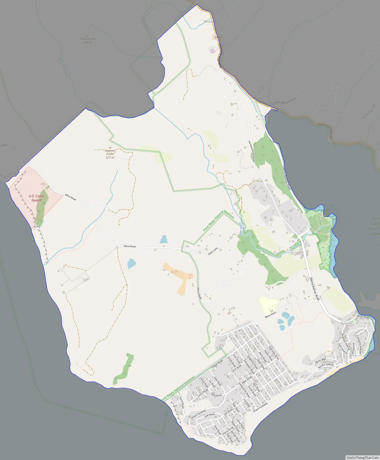
Bolinas Road Map
Bolinas city Satellite Map
Geography
Bolinas sits at an elevation of 36 feet (11 m) above sea level. It is bound on the northeast by Bolinas Lagoon and Kent Island, on the south by Bolinas Bay and Duxbury Point, on the southwest by the Pacific Ocean, and on the northwest by Point Reyes National Seashore. According to the United States Census Bureau, the CDP has a total area of 5.8 square miles (15 km), all of it land. The GNIS has cited archaic alternate town-names, including “Ballenas”, “Baulenas”, “Baulings”, and “Bawlines”.
Bolinas’ downtown is located on the eastern side of town along Wharf Road, which ends at Bolinas Lagoon. The downtown buildings were mostly built between 1850 and 1920. Brighton Avenue connects downtown to the south-facing Brighton Beach. In the southeast corner of town is the Little Mesa. The Big Mesa, also known as the Gridded Mesa, lies to the west, with Agate Beach at its western end.
By air, Bolinas is just 10 miles (16 km) west-southwest of San Rafael, and 13 miles (21 km) northwest of San Francisco. While located just 2 miles (3.2 km) from State Route 1, the area is not very accessible by car. The driving time from San Rafael is roughly 52 minutes, and it takes over an hour to drive to downtown San Francisco.
Bolinas lies west of the San Andreas Fault, which runs the length of Bolinas Lagoon and continues northward through Olema Valley and Tomales Bay. Bolinas and the Point Reyes peninsula are on the Pacific Plate, moving north relative to Stinson Beach and the North American Plate at an average rate of about 1 inch (2.5 cm) per year.
Point Reyes National Seashore borders Bolinas to the northwest. Duxbury Reef State Marine Conservation Area encompasses Bolinas’ western shoreline.
See also
Map of California State and its subdivision:- Alameda
- Alpine
- Amador
- Butte
- Calaveras
- Colusa
- Contra Costa
- Del Norte
- El Dorado
- Fresno
- Glenn
- Humboldt
- Imperial
- Inyo
- Kern
- Kings
- Lake
- Lassen
- Los Angeles
- Madera
- Marin
- Mariposa
- Mendocino
- Merced
- Modoc
- Mono
- Monterey
- Napa
- Nevada
- Orange
- Placer
- Plumas
- Riverside
- Sacramento
- San Benito
- San Bernardino
- San Diego
- San Francisco
- San Joaquin
- San Luis Obispo
- San Mateo
- Santa Barbara
- Santa Clara
- Santa Cruz
- Shasta
- Sierra
- Siskiyou
- Solano
- Sonoma
- Stanislaus
- Sutter
- Tehama
- Trinity
- Tulare
- Tuolumne
- Ventura
- Yolo
- Yuba
- Alabama
- Alaska
- Arizona
- Arkansas
- California
- Colorado
- Connecticut
- Delaware
- District of Columbia
- Florida
- Georgia
- Hawaii
- Idaho
- Illinois
- Indiana
- Iowa
- Kansas
- Kentucky
- Louisiana
- Maine
- Maryland
- Massachusetts
- Michigan
- Minnesota
- Mississippi
- Missouri
- Montana
- Nebraska
- Nevada
- New Hampshire
- New Jersey
- New Mexico
- New York
- North Carolina
- North Dakota
- Ohio
- Oklahoma
- Oregon
- Pennsylvania
- Rhode Island
- South Carolina
- South Dakota
- Tennessee
- Texas
- Utah
- Vermont
- Virginia
- Washington
- West Virginia
- Wisconsin
- Wyoming


