San Rafael (/ˌsæn rəˈfɛl/ SAN rə-FEL; Spanish for “St. Raphael”, Spanish pronunciation: [san rafaˈel]) is a city and the county seat of Marin County, California, United States. The city is located in the North Bay region of the San Francisco Bay Area. As of the 2020 U.S. census, the city’s population was 61,271, up from 57,713 in 2010.
San Rafael was founded by the Spanish in 1817, when Vicente Francisco de Sarría established Mission San Rafael Arcángel, initially as an asistencia (sub-mission). San Rafael Arcángel was upgraded to full mission status in 1822, a month before Alta California declared independence from Spain as part of Mexico. Following the American Conquest of California, the community of San Rafael incorporated as a city in 1874.
| Name: | San Rafael city |
|---|---|
| LSAD Code: | 25 |
| LSAD Description: | city (suffix) |
| State: | California |
| County: | Marin County |
| Incorporated: | February 18, 1874 |
| Elevation: | 43 ft (13 m) |
| Land Area: | 16.59 sq mi (43.0 km²) |
| Water Area: | 5.96 sq mi (15.4 km²) 26.42% |
| Population Density: | 3,693.92/sq mi (1,426.23/km²) |
| ZIP code: | 94901 |
| FIPS code: | 0668364 |
| Website: | www.cityofsanrafael.org |
Online Interactive Map
Click on ![]() to view map in "full screen" mode.
to view map in "full screen" mode.
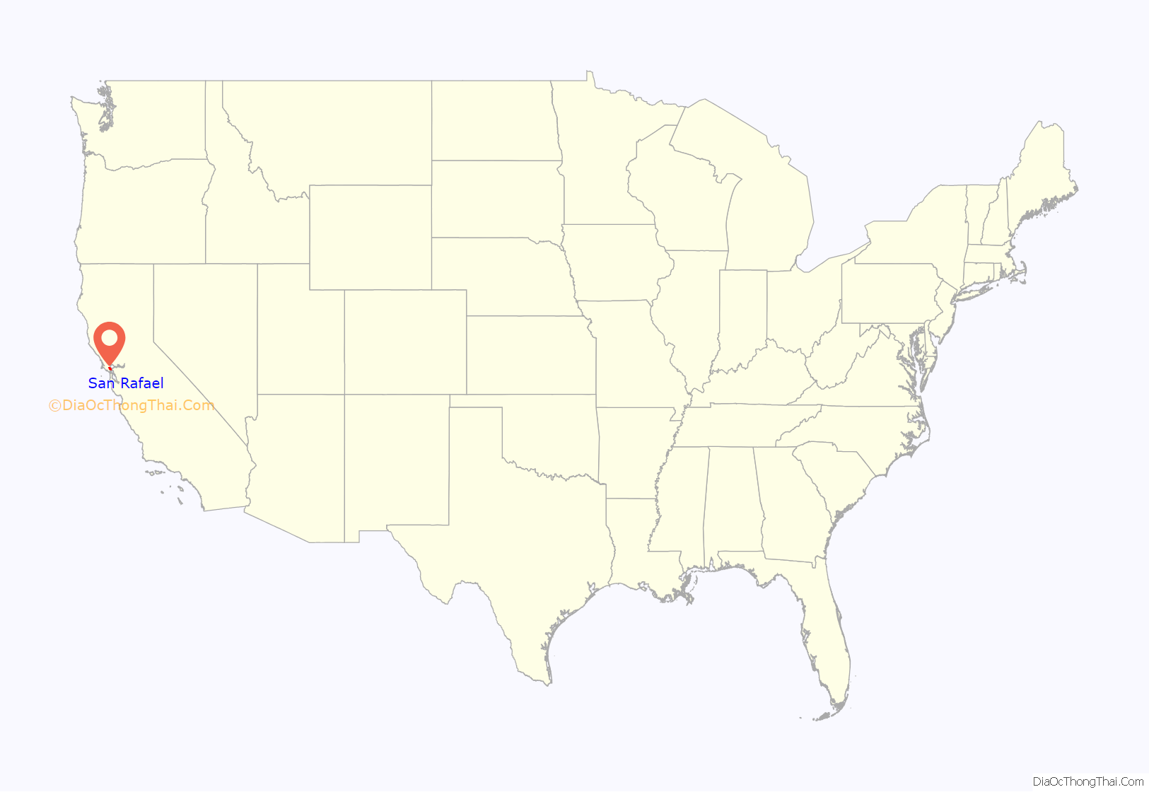
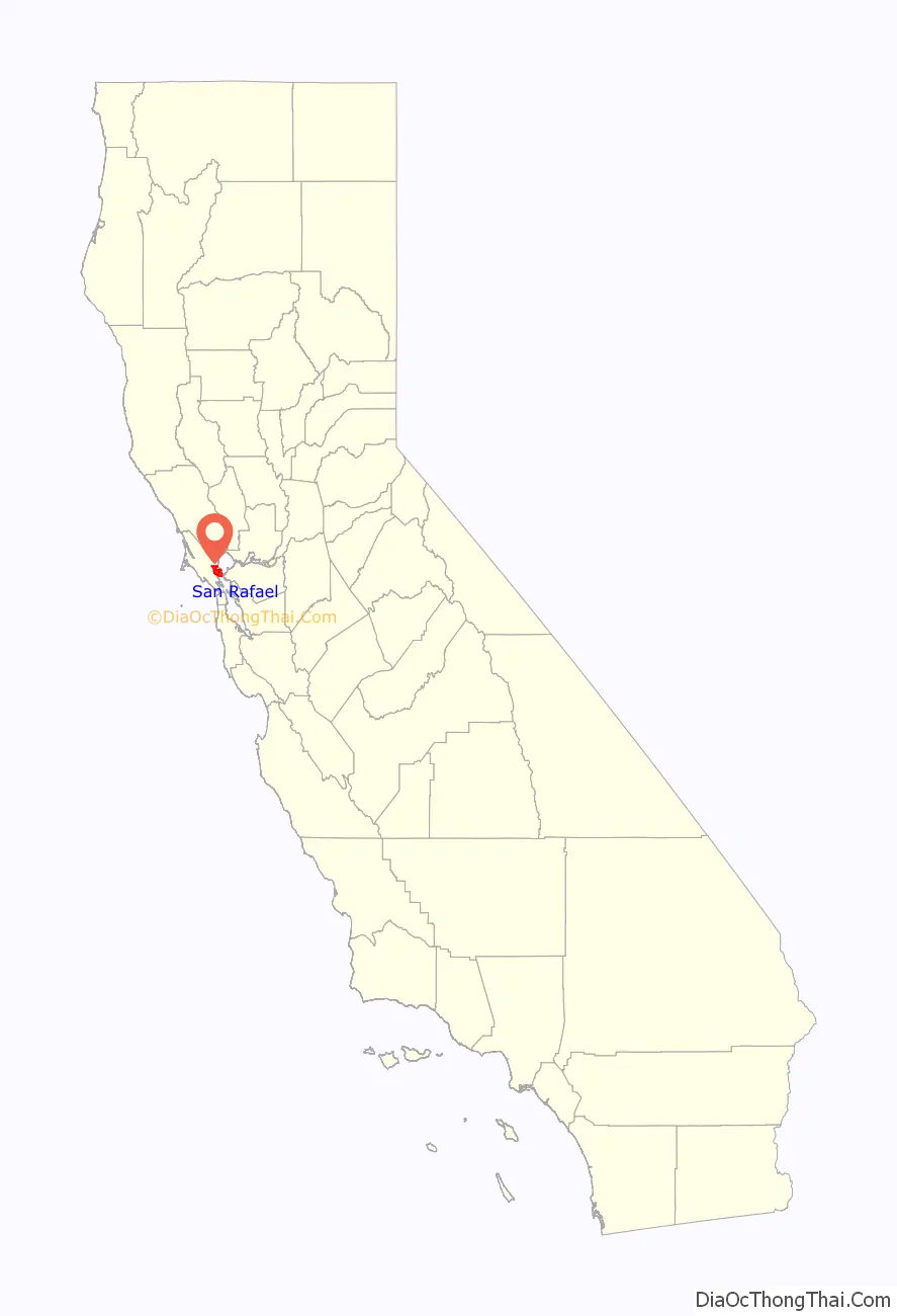
San Rafael location map. Where is San Rafael city?
History
San Rafael was once the site of several Coast Miwok villages: Awani-wi, near downtown San Rafael, Ewu, near Terra Linda and Shotomko-cha, in Marinwood.
Spanish period
Mission San Rafael Arcángel was founded as the 20th Spanish mission in the colonial province of Alta California by three priests—Father Narciso Durán from Mission San José, Father Abella from Mission San Francisco de Asís, Father Luis Gíl y Taboada from La Iglesia de Nuestra Señora Reina de los Angeles—on Dec. 14, 1817, four years before Mexico gained independence from Spain. The mission from which the downtown grew and the city are named after the Archangel Raphael, the Angel of Healing.
The mission was originally planned as a hospital site for Central Valley American Indians who had become ill at the cold San Francisco Mission Dolores. Father Luis Gil, who spoke several Native American languages, was put in charge of the facility. In part because of its ideal weather, San Rafael was later upgraded to full mission status in 1822.
Mexican period
The mission had 300 converts within its first year, and 1,140 converts by 1828.
Following the Mexican secularization act of 1833, the Mexican government took over the California missions in 1834, and Mission San Rafael was abandoned in 1844, eventually falling into ruin.
American period
The San Francisco and North Pacific Railroad reached San Rafael in 1879 and was linked to the national rail network in 1888. The United States Navy operated a San Pablo Bay degaussing range from San Rafael through World War II.
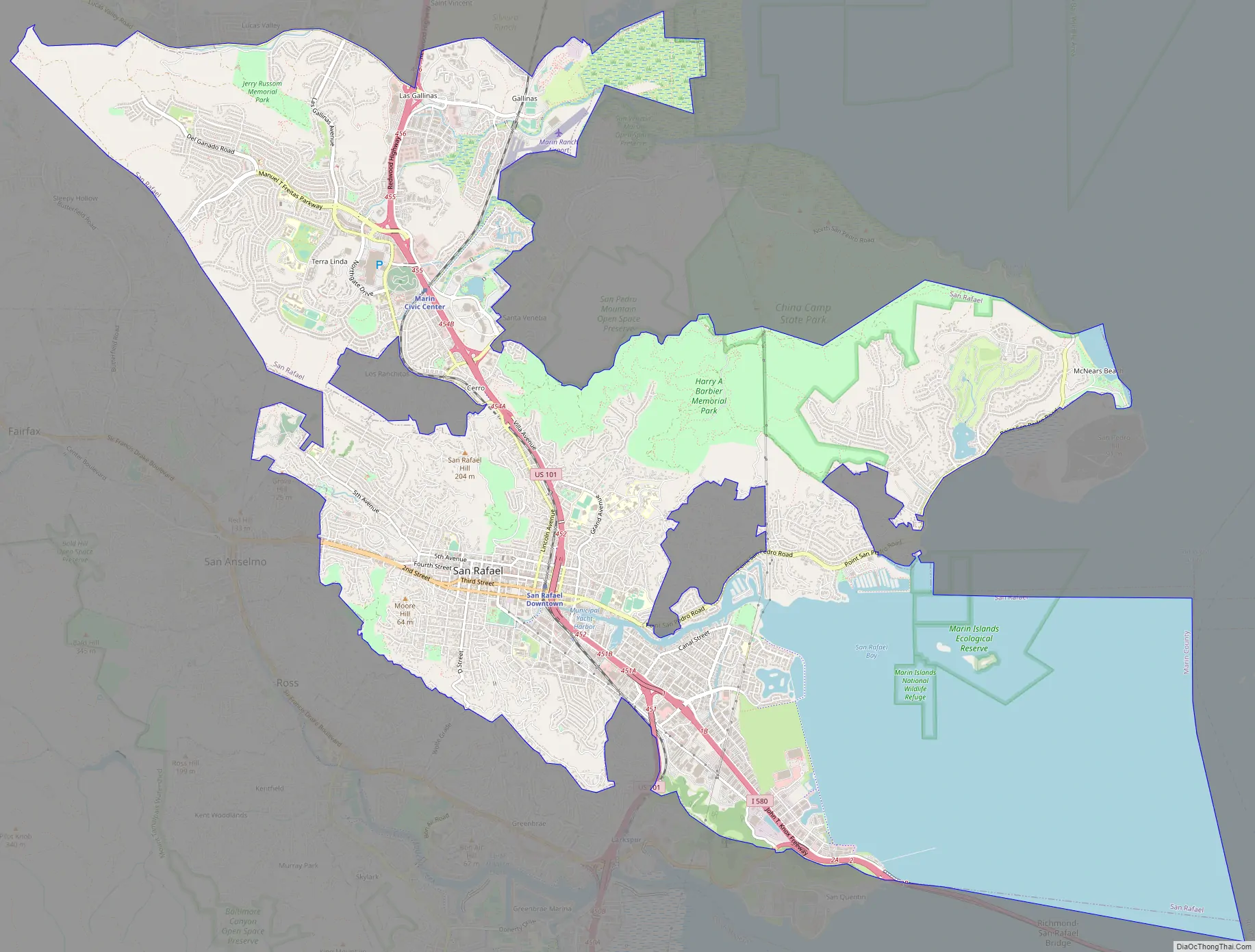
San Rafael Road Map
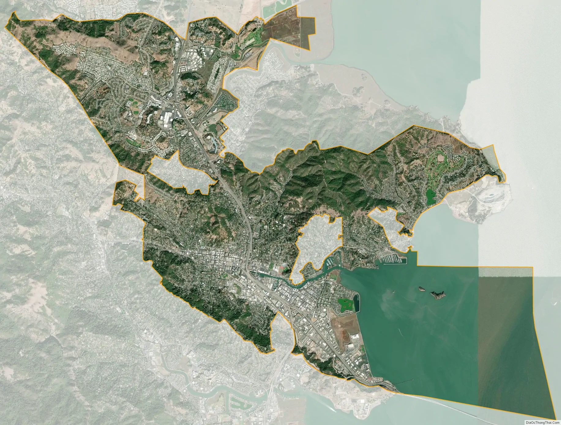
San Rafael city Satellite Map
Geography
According to the United States Census Bureau, the city has a total area of 22.5 square miles (58 km). 16.6 square miles (43 km) of it is land and 6.0 square miles (16 km) of it (26.42%) is water. San Francisco is 16 miles (26 km) to the south.
The San Rafael shoreline has been historically filled to a considerable extent to accommodate land development, with underlying bay mud (saturated clayed silt) of up to 90 feet (27 m) in thickness. At certain locations such as Murphys Point, the sandstone or shale rock outcrops through the mud.
San Rafael has a wide diversity of natural habitats from forests at the higher elevations to marshland and estuarine settings. Its marshes are home to the endangered species salt marsh harvest mouse. There are also riparian areas including the San Rafael Creek and Miller Creek corridors.
Climate
San Rafael has a warm-summer Mediterranean climate (Köppen climate classification Csb), with mild winter lows seldom reaching the freezing mark. The National Weather Service reports that August is usually the warmest month with a high of 80.1 °F (26.7 °C) and a low of 55.0 °F (12.8 °C). December, the coldest month, has an average high of 55.1 °F (12.8 °C) and an average low of 41.0 °F (5.0 °C). The highest temperature on record is 110 °F (43.3 °C), recorded in June 1961. The highest temperature in recent years, 108 °F (42.2 °C), occurred on July 23, 2006, and 108 °F (42.2 °C) again on September 6, 2020. The record lowest temperature was 20 °F (−6.7 °C) on December 22, 1990. There are an average of 17.9 afternoons annually with a high of 90 °F (32.2 °C) or more and 1.2 afternoons with a high of 100 °F (37.8 °C) or more. Freezing temperatures (32 °F/0 °C or below) occur on an average of 3.6 mornings.
Total annual precipitation averages 32.16 inches (816.9 mm), with an average of 64.3 days with measurable rain. The rainy season is from November to early April: rain is rare outside of this period and it is normal to receive no rain in June, July, August, and September. The wettest “rain year” was from July 1994 to June 1995 with 61.45 inches (1,560.8 mm) and the driest from July 1975 to June 1976 with 13.62 inches (345.9 mm). The most rain in one month was 24.11 inches (612.4 mm) in January 1995, and the heaviest 24-hour rainfall was 8.74 inches (222.0 mm) on December 11, 1995. A trace of snow was recorded on January 30, 1976.
See also
Map of California State and its subdivision:- Alameda
- Alpine
- Amador
- Butte
- Calaveras
- Colusa
- Contra Costa
- Del Norte
- El Dorado
- Fresno
- Glenn
- Humboldt
- Imperial
- Inyo
- Kern
- Kings
- Lake
- Lassen
- Los Angeles
- Madera
- Marin
- Mariposa
- Mendocino
- Merced
- Modoc
- Mono
- Monterey
- Napa
- Nevada
- Orange
- Placer
- Plumas
- Riverside
- Sacramento
- San Benito
- San Bernardino
- San Diego
- San Francisco
- San Joaquin
- San Luis Obispo
- San Mateo
- Santa Barbara
- Santa Clara
- Santa Cruz
- Shasta
- Sierra
- Siskiyou
- Solano
- Sonoma
- Stanislaus
- Sutter
- Tehama
- Trinity
- Tulare
- Tuolumne
- Ventura
- Yolo
- Yuba
- Alabama
- Alaska
- Arizona
- Arkansas
- California
- Colorado
- Connecticut
- Delaware
- District of Columbia
- Florida
- Georgia
- Hawaii
- Idaho
- Illinois
- Indiana
- Iowa
- Kansas
- Kentucky
- Louisiana
- Maine
- Maryland
- Massachusetts
- Michigan
- Minnesota
- Mississippi
- Missouri
- Montana
- Nebraska
- Nevada
- New Hampshire
- New Jersey
- New Mexico
- New York
- North Carolina
- North Dakota
- Ohio
- Oklahoma
- Oregon
- Pennsylvania
- Rhode Island
- South Carolina
- South Dakota
- Tennessee
- Texas
- Utah
- Vermont
- Virginia
- Washington
- West Virginia
- Wisconsin
- Wyoming


