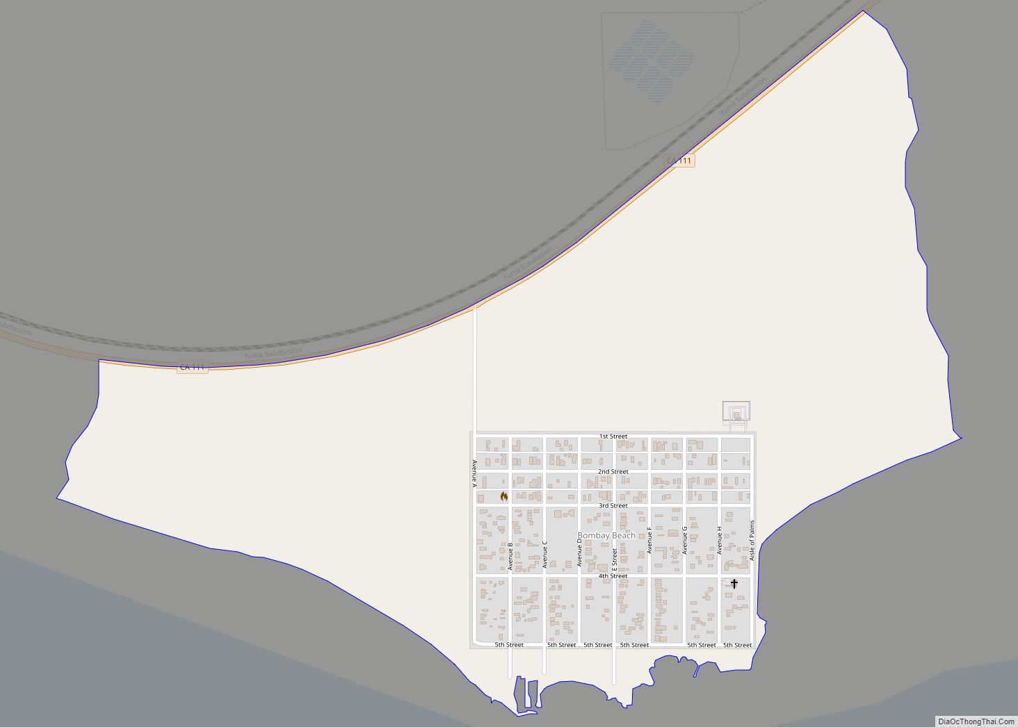
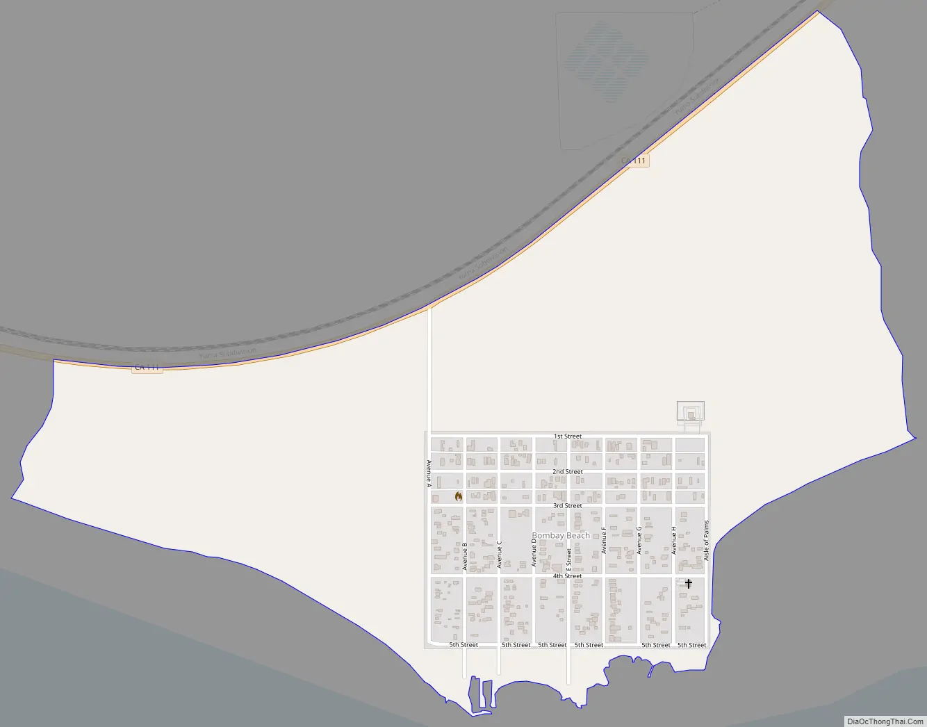
Bombay Beach is a census-designated place (CDP) in Imperial County, California, United States. It is located on the Salton Sea, 4 miles (6.4 km) west-southwest of Frink and is the lowest community in the United States, located 223 feet (68 m) below sea level. The population was 231 at the 2020 census, down from 295 in 2010, down from 366 in 2000. It is part of the El Centro, California, metropolitan statistical area.
Bombay Beach was once a popular getaway for beachgoers until the 1980s, when the draining and increasing salinity of the Salton Sea destroyed the lake’s ecosystem and drove businesses and private landowners out of the area, rendering Bombay Beach a ghost town. Despite this, by 2018, a number of people had moved into the area, and the town’s many abandoned structures and features from its past have drawn visitors back in. A 2018 article in The Guardian stated that it was “enjoying a rebirth of sorts with an influx of artists, intellectuals and hipsters who have turned it into a bohemian playground.” The Bombay Beach Biennale, an annual art festival, is held here.
| Name: | Bombay Beach CDP |
|---|---|
| LSAD Code: | 57 |
| LSAD Description: | CDP (suffix) |
| State: | California |
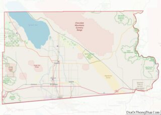
| County: | Imperial County |
| Elevation: | −223 ft (−68 m) |
| Total Area: | 0.66 sq mi (1.72 km²) |
| Land Area: | 0.66 sq mi (1.72 km²) |
| Water Area: | 0.00 sq mi (0.00 km²) 0% |
| Total Population: | 231 |
| Population Density: | 347.89/sq mi (134.37/km²) |
| ZIP code: | 92257 |
| FIPS code: | 0607372 |
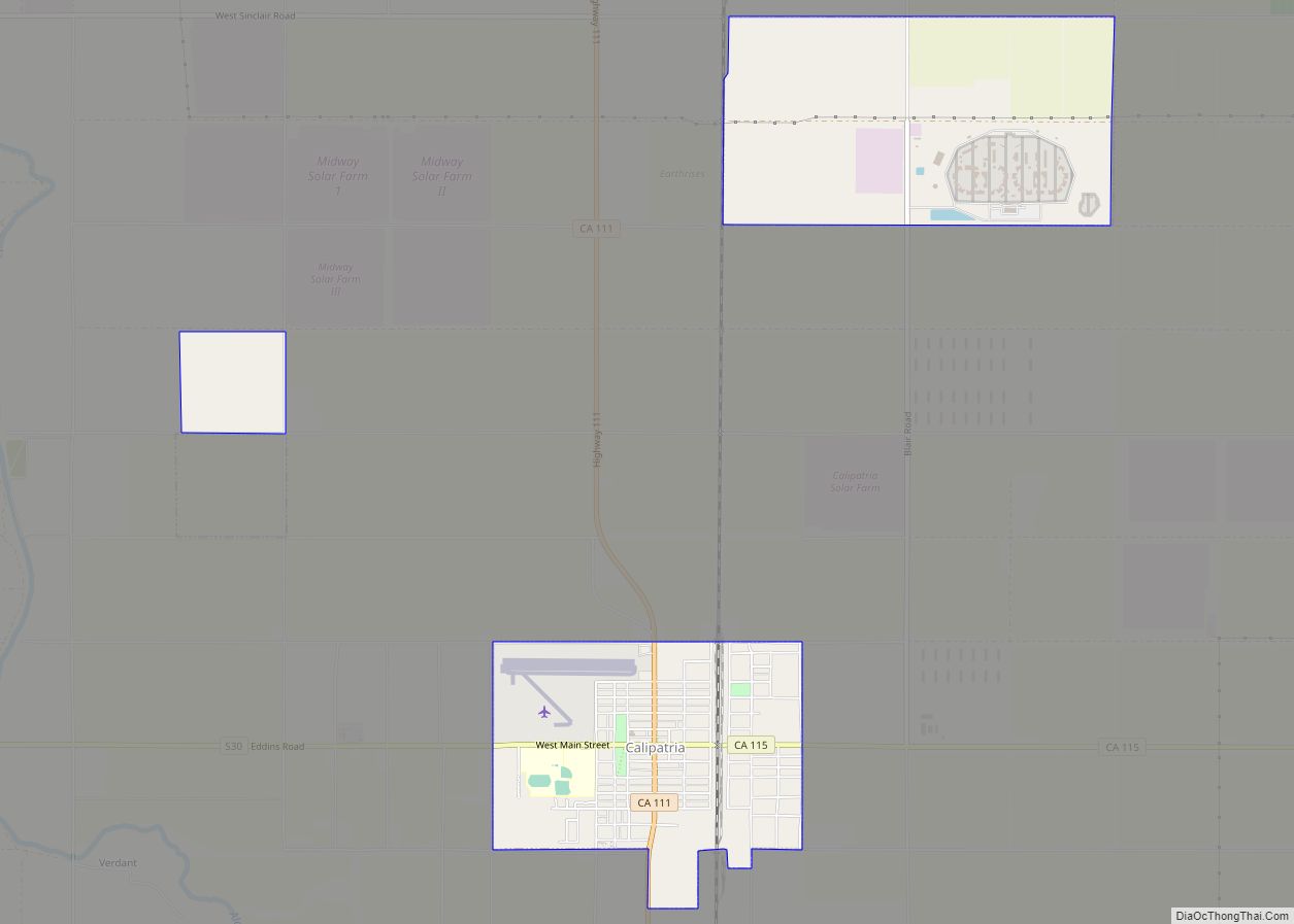
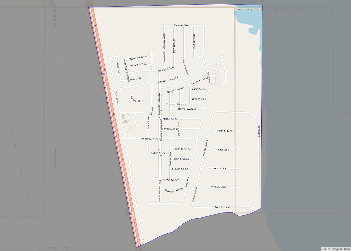
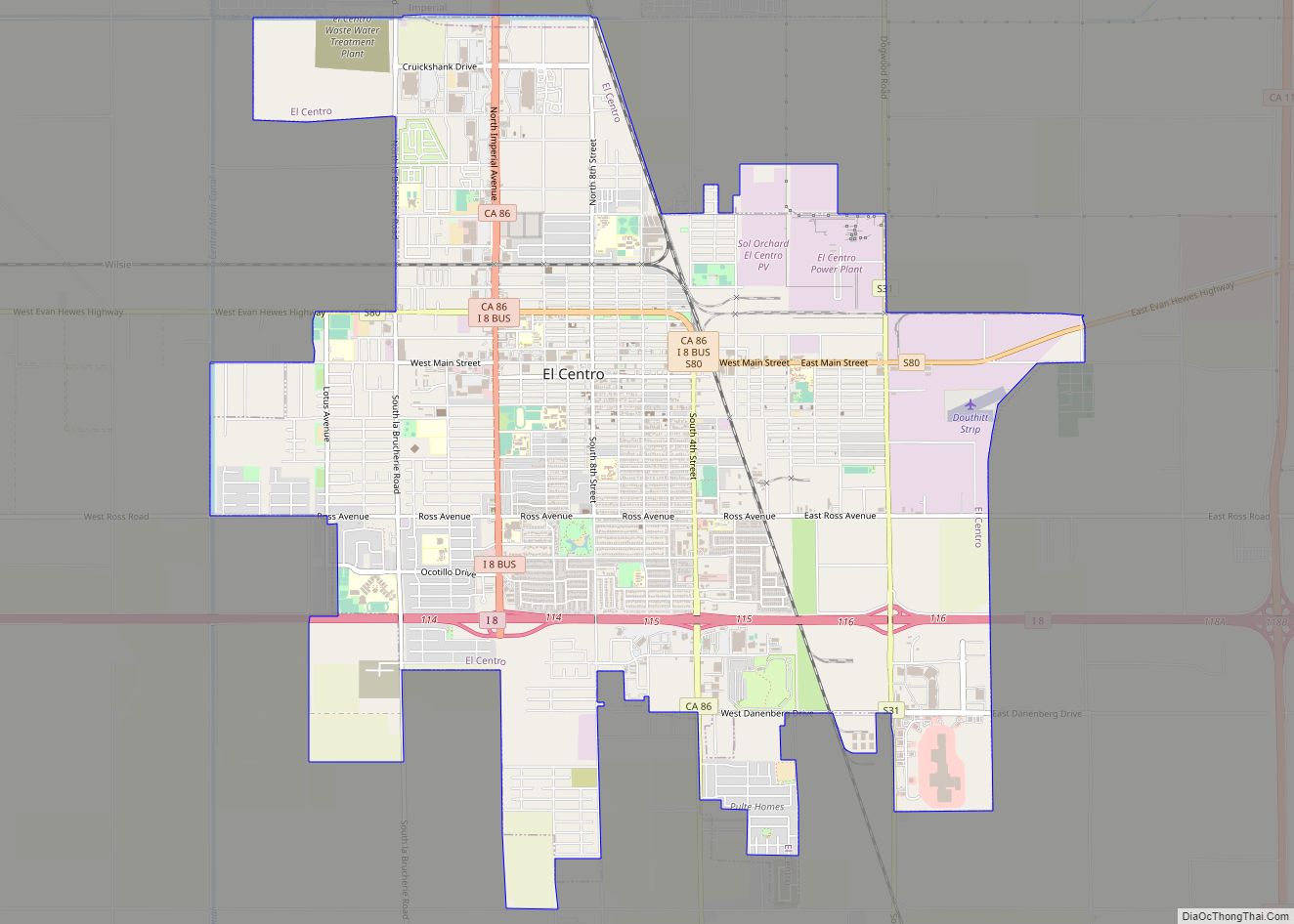
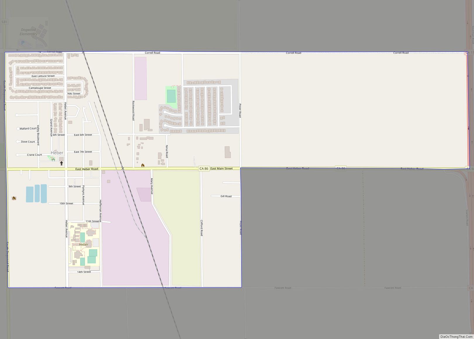
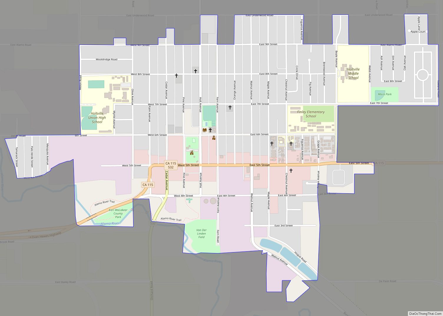
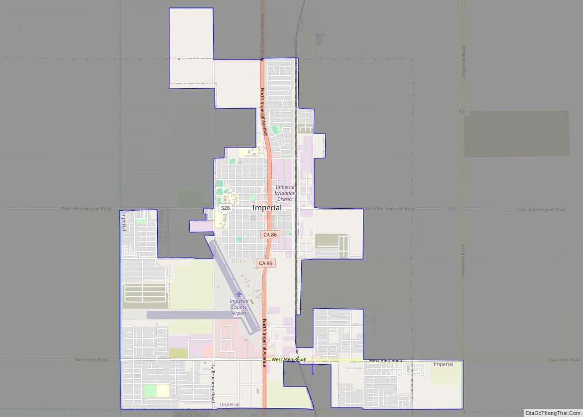
Online Interactive Map
Click on ![]() to view map in "full screen" mode.
to view map in "full screen" mode.
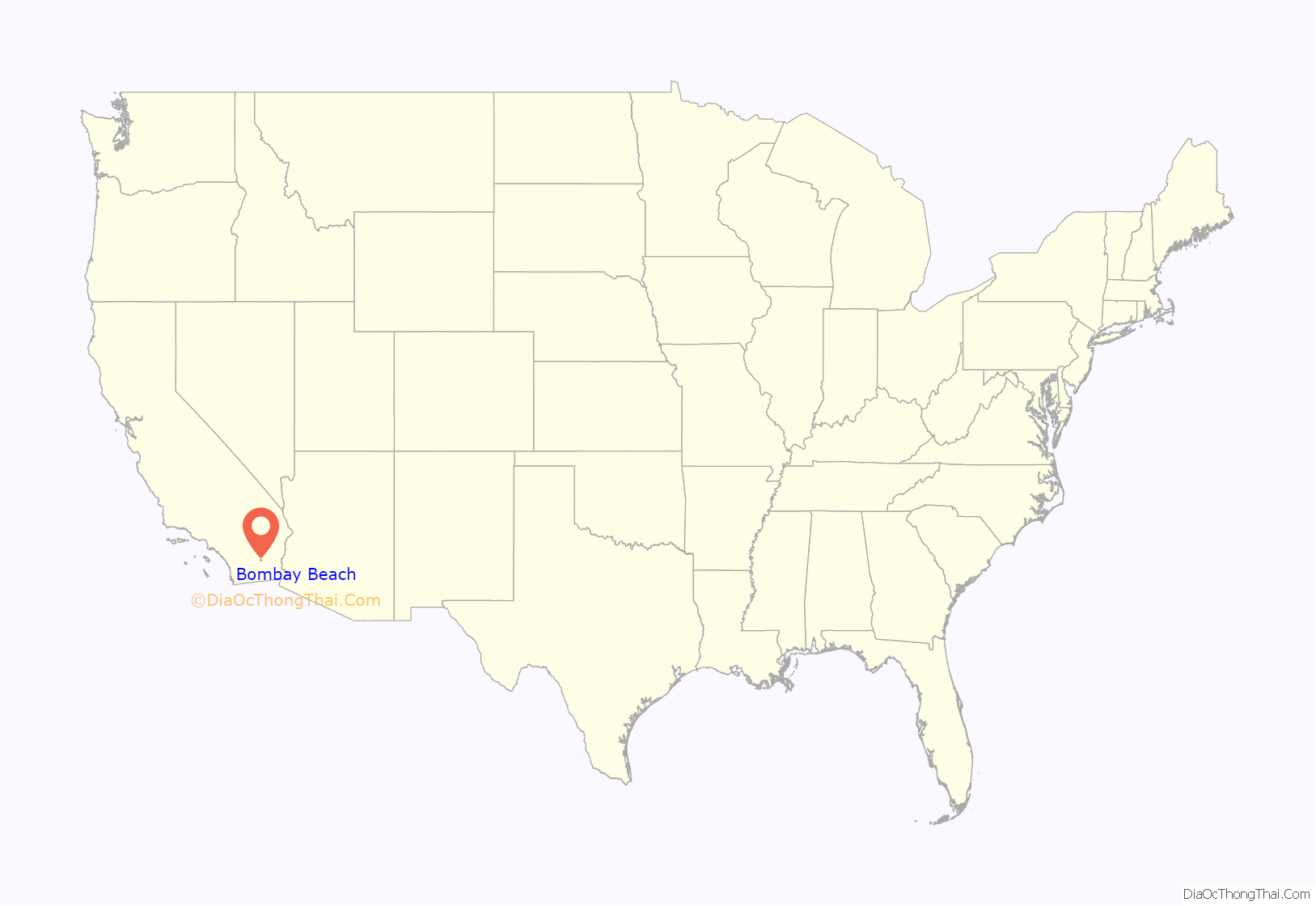
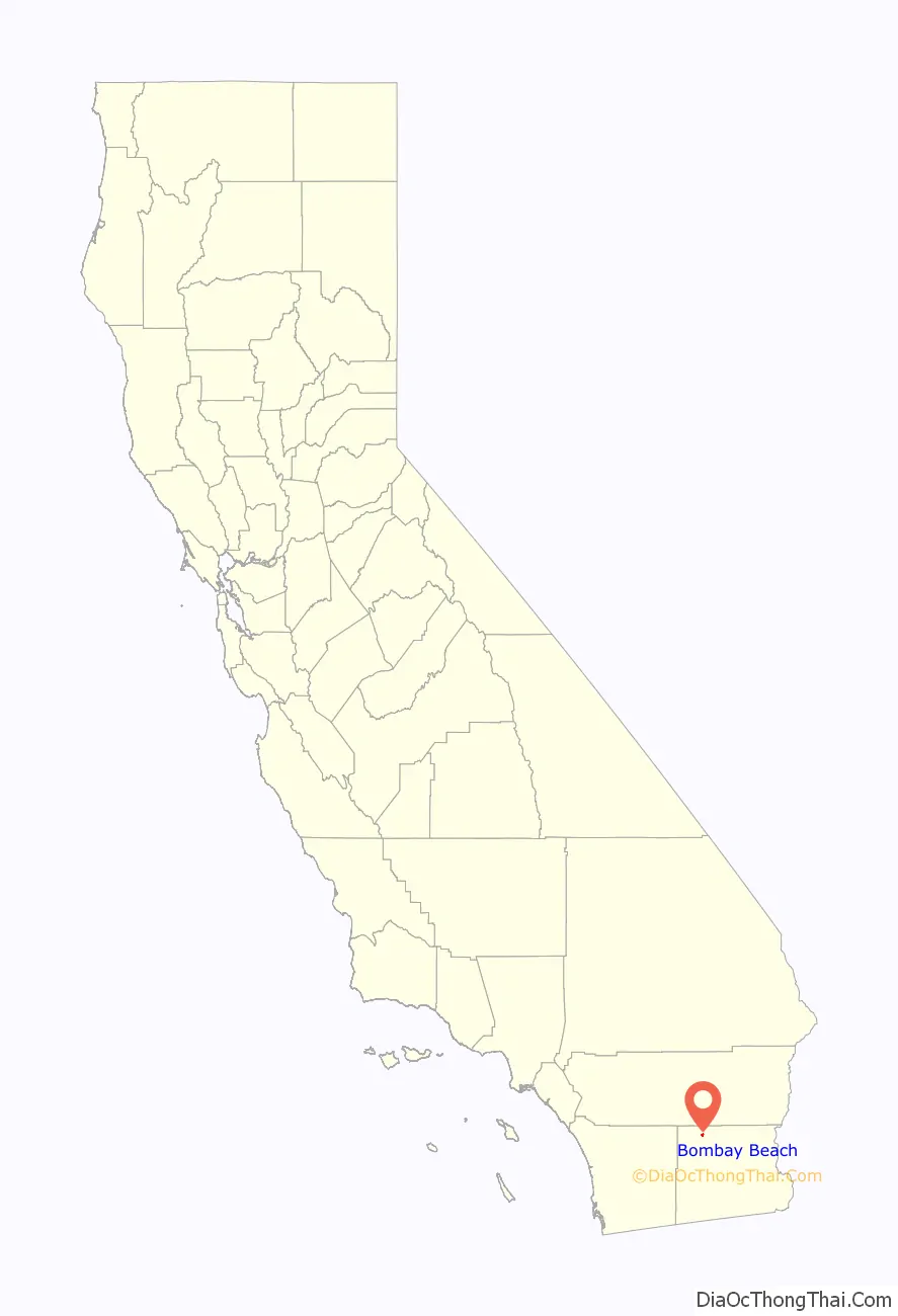
Bombay Beach location map. Where is Bombay Beach CDP?
History
During the 1950s, Bombay Beach was a popular beach-going destination. Celebrities such as Frank Sinatra, the Beach Boys, and Bing Crosby frequented the luxury resorts along the Salton Sea, which was known for its fishing, boating and water skiing. The area attracted half a million tourists annually, rivaling Yosemite National Park.
Bombay Beach’s decline began in the 1970s, when the runoff (full of salty chemicals) led to a warning that the salinity of the lake would no longer sustain wildlife; that occurred by the early 1980s. Many residents around the Salton Sea, including those in Bombay Beach, were eventually driven out by the odor of the dying fish, the fear of health problems, and the flooding and the draining of the Salton Sea. Many of the remaining residents are reportedly either too poor to move out or too attached to the history of the area to leave. A report by the Pacific Institute in September 2019 stated that ten years earlier, “there were some 100 million fish in the Sea. Now, more than 97 percent of those fish are gone.”
Most of the few residents use golf carts to get around, since the nearest gas station is 20 miles (32 km) away in Niland. There are two stores in the town, one of which is a convenience store, and the closest hospital is over 45 minutes away in Brawley. The Ski Inn bar and restaurant is the only eating and drinking establishment in the town. The “Bombay Beach Drive-In” is an art installation consisting of old, abandoned cars at a drive-in theater. A visitor in 2019 wrote that there were many “discarded homes and trailers long-since abandoned” and that many of the buildings were “windowless husks blanketed in graffiti, surrounded by broken furniture and rubble.”
The derelict “living ghost town” status of Bombay Beach has attracted many photographers, filmmakers, urban explorers, and tourists. The town, as well as others on the shores of the Salton Sea, is one of the lowest settlements in elevation in North America. The local American Legion, Post 801, had 36 members in 2016 and closed down “for a few years” before reopening as a volunteer-run facility.
In 2018, as people began to move back into Bombay Beach, house prices had risen; some bungalows were selling for “tens of thousands of dollars.” The community has held the Bombay Beach Biennale each spring since 2016, inviting “artists, academics, writers, and film-makers to create work, give lectures, and stage happenings”. The 2020 Biennale was postponed due to the COVID-19 pandemic.
The population of Bombay Beach has been described as “mostly elderly residents” who “live in a grid of mobile homes and eccentric (and, sometimes, elaborate) small homes and shacks.”
Bombay Beach Road Map
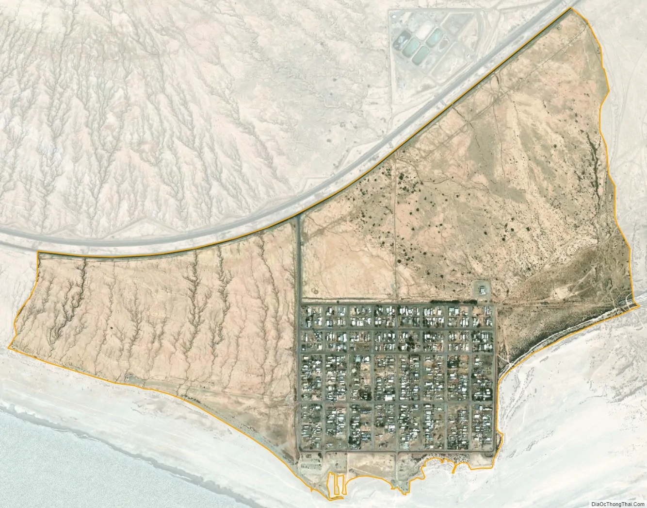
Bombay Beach city Satellite Map
Geography
Bombay Beach is located in Southern California’s Sonoran Desert. Bombay Beach is located on the east shore of the Salton Sea and, like many communities along its shores, has had to contend with fluctuating water levels, reducing size of the lake and increasing salinity. A berm was built in the 1970s to protect the west end of the town, but a portion of the town beyond the berm was either submerged or half-buried in mud.
Bombay Beach marks the southern end of the San Andreas Fault, where the southern terminus of the San Andreas transitions into the Brawley Seismic Zone.
See also
Map of California State and its subdivision:- Alameda
- Alpine
- Amador
- Butte
- Calaveras
- Colusa
- Contra Costa
- Del Norte
- El Dorado
- Fresno
- Glenn
- Humboldt
- Imperial
- Inyo
- Kern
- Kings
- Lake
- Lassen
- Los Angeles
- Madera
- Marin
- Mariposa
- Mendocino
- Merced
- Modoc
- Mono
- Monterey
- Napa
- Nevada
- Orange
- Placer
- Plumas
- Riverside
- Sacramento
- San Benito
- San Bernardino
- San Diego
- San Francisco
- San Joaquin
- San Luis Obispo
- San Mateo
- Santa Barbara
- Santa Clara
- Santa Cruz
- Shasta
- Sierra
- Siskiyou
- Solano
- Sonoma
- Stanislaus
- Sutter
- Tehama
- Trinity
- Tulare
- Tuolumne
- Ventura
- Yolo
- Yuba
- Alabama
- Alaska
- Arizona
- Arkansas
- California
- Colorado
- Connecticut
- Delaware
- District of Columbia
- Florida
- Georgia
- Hawaii
- Idaho
- Illinois
- Indiana
- Iowa
- Kansas
- Kentucky
- Louisiana
- Maine
- Maryland
- Massachusetts
- Michigan
- Minnesota
- Mississippi
- Missouri
- Montana
- Nebraska
- Nevada
- New Hampshire
- New Jersey
- New Mexico
- New York
- North Carolina
- North Dakota
- Ohio
- Oklahoma
- Oregon
- Pennsylvania
- Rhode Island
- South Carolina
- South Dakota
- Tennessee
- Texas
- Utah
- Vermont
- Virginia
- Washington
- West Virginia
- Wisconsin
- Wyoming