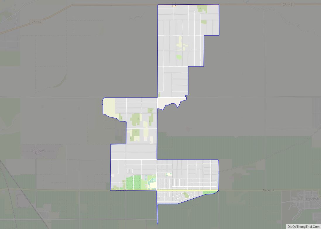
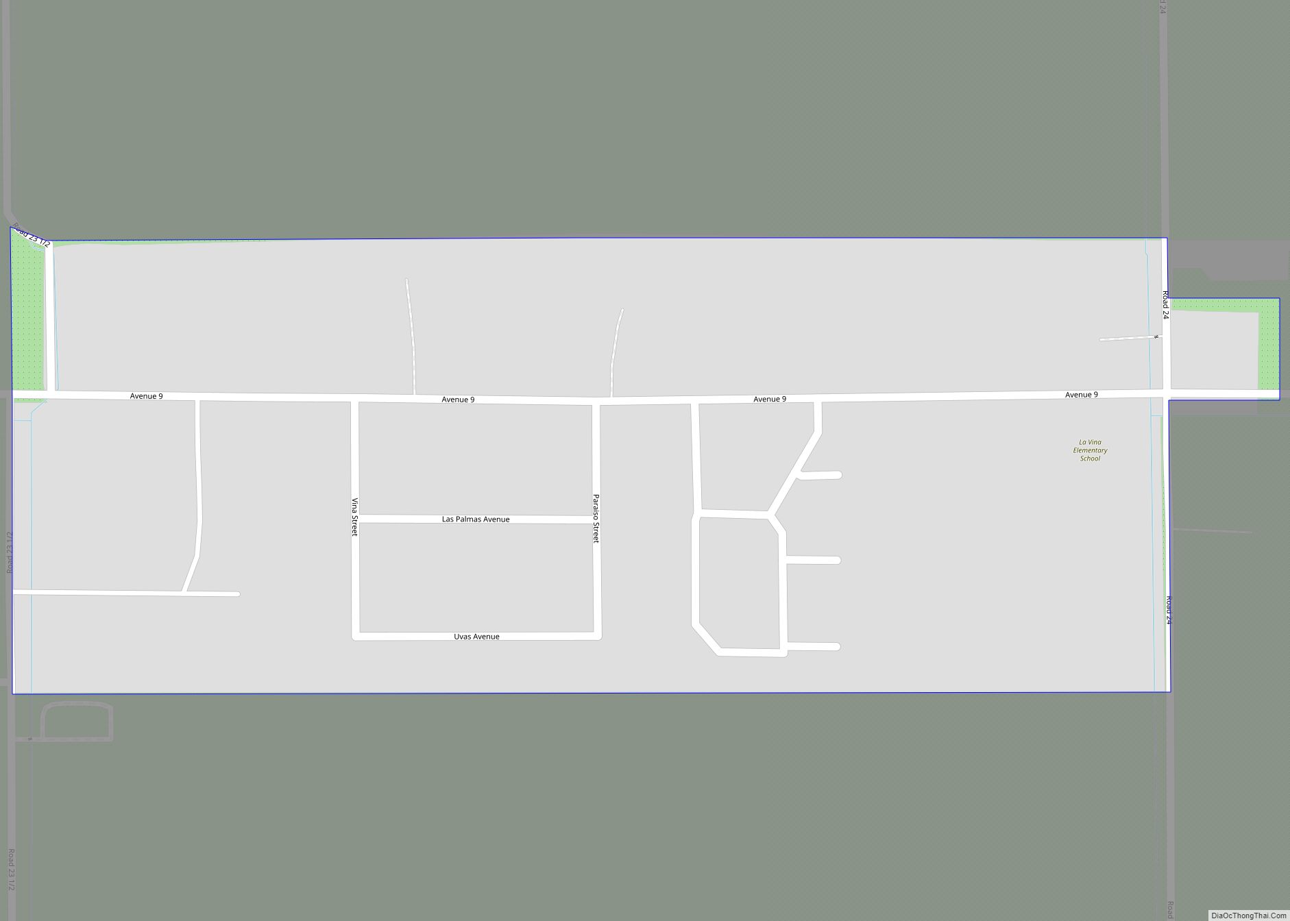
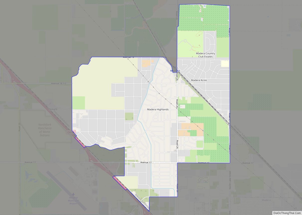
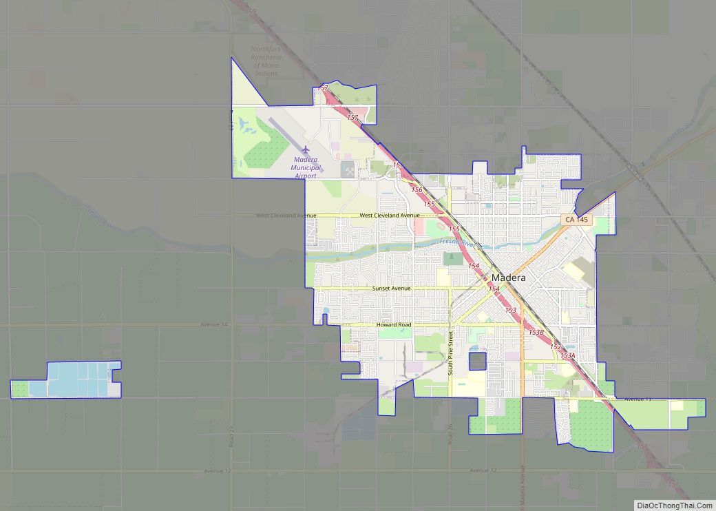
Bonadelle Ranchos and Madera Ranchos are a pair of communities in Madera County, California, United States. They are part of the Madera–Chowchilla Metropolitan Statistical Area. Prior to 2020, the communities were part of the Bonadelle Ranchos-Madera Ranchos Census Designated Place, with a population of 8,569 at the 2010 census. For the 2020 census, the area was split into two CDPs, Bonadelle Ranchos and Madera Ranchos.
| Name: | Bonadelle Ranchos-Madera Ranchos CDP |
|---|---|
| LSAD Code: | 57 |
| LSAD Description: | CDP (suffix) |
| State: | California |
| County: | Madera County |
| Elevation: | 311−422 ft (182 m) |
| Total Area: | 11.64 sq mi (30.14 km²) |
| Land Area: | 11.64 sq mi (30.14 km²) |
| Water Area: | 0.00 sq mi (0.00 km²) 0% |
| Total Population: | 8,569 |
| Population Density: | 736/sq mi (284.3/km²) |
| ZIP code: | 93636 (Madera) |
| Area code: | 559 |
| FIPS code: | 0607379 |
| GNISfeature ID: | 2407879 |
Online Interactive Map
Click on ![]() to view map in "full screen" mode.
to view map in "full screen" mode.
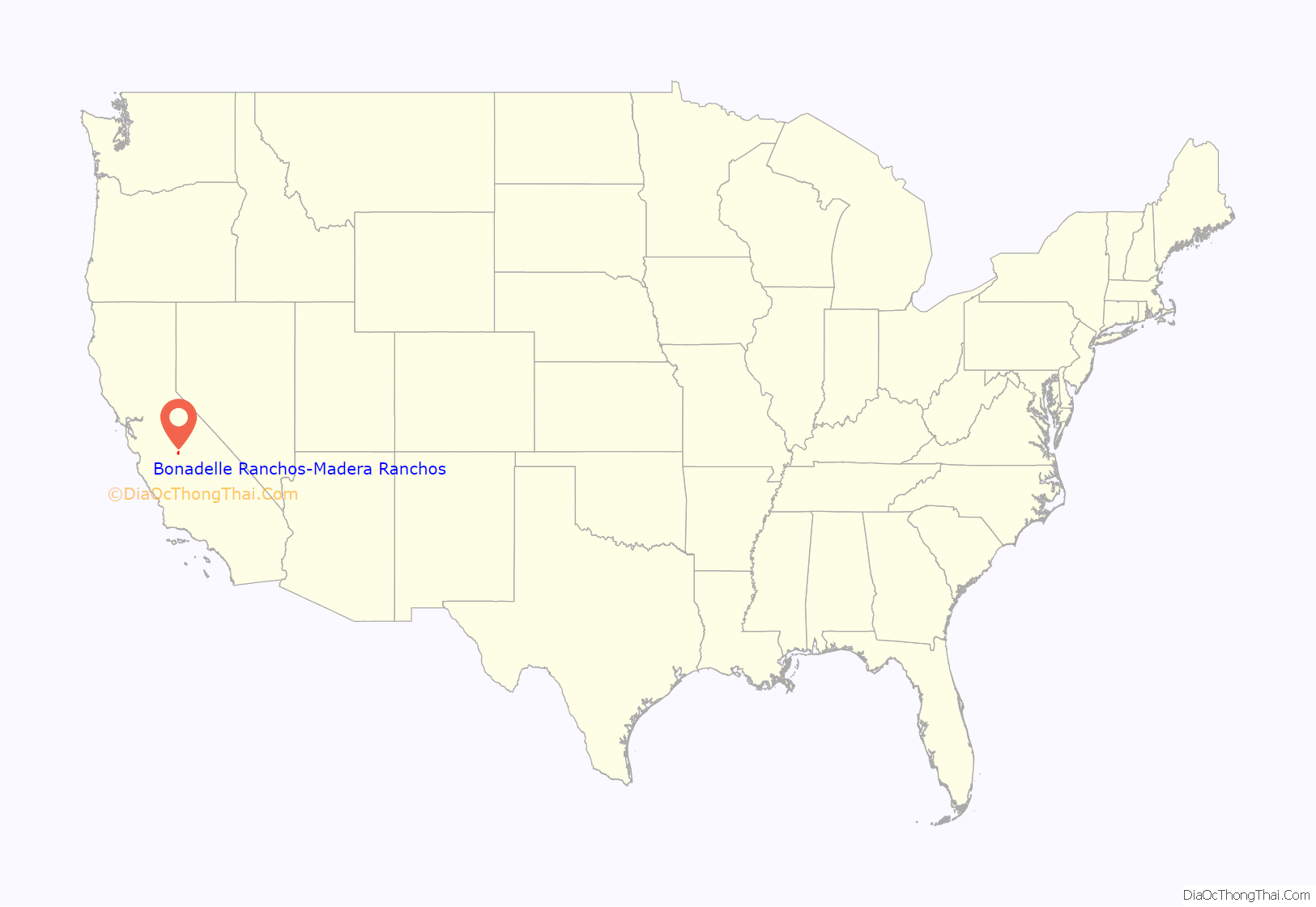
Bonadelle Ranchos-Madera Ranchos location map. Where is Bonadelle Ranchos-Madera Ranchos CDP?
History
The Bonadelle Ranchos has a relatively long history, but not much is known about it. John Bonadelle, the founder of the area, was a landowner and owned most of the properties in the area. Many of the streets were named by him. Street names were often sold to people in Hollywood, who sometimes named them after themselves. Settlement began as early as 1940, but the movement trend boomed in the 1970s and continued on.
Bonadelle originally purchased the land from one of the three Smith family siblings that split the land into thirds once their father had passed. Currently, Kirby Smith still owns a comparable amount of land to the Bonadelle Ranchoes, which lies to the east and continues until Highway 41.
Bonadelle Ranchos-Madera Ranchos Road Map
Bonadelle Ranchos-Madera Ranchos city Satellite Map
See also
Map of California State and its subdivision:- Alameda
- Alpine
- Amador
- Butte
- Calaveras
- Colusa
- Contra Costa
- Del Norte
- El Dorado
- Fresno
- Glenn
- Humboldt
- Imperial
- Inyo
- Kern
- Kings
- Lake
- Lassen
- Los Angeles
- Madera
- Marin
- Mariposa
- Mendocino
- Merced
- Modoc
- Mono
- Monterey
- Napa
- Nevada
- Orange
- Placer
- Plumas
- Riverside
- Sacramento
- San Benito
- San Bernardino
- San Diego
- San Francisco
- San Joaquin
- San Luis Obispo
- San Mateo
- Santa Barbara
- Santa Clara
- Santa Cruz
- Shasta
- Sierra
- Siskiyou
- Solano
- Sonoma
- Stanislaus
- Sutter
- Tehama
- Trinity
- Tulare
- Tuolumne
- Ventura
- Yolo
- Yuba
- Alabama
- Alaska
- Arizona
- Arkansas
- California
- Colorado
- Connecticut
- Delaware
- District of Columbia
- Florida
- Georgia
- Hawaii
- Idaho
- Illinois
- Indiana
- Iowa
- Kansas
- Kentucky
- Louisiana
- Maine
- Maryland
- Massachusetts
- Michigan
- Minnesota
- Mississippi
- Missouri
- Montana
- Nebraska
- Nevada
- New Hampshire
- New Jersey
- New Mexico
- New York
- North Carolina
- North Dakota
- Ohio
- Oklahoma
- Oregon
- Pennsylvania
- Rhode Island
- South Carolina
- South Dakota
- Tennessee
- Texas
- Utah
- Vermont
- Virginia
- Washington
- West Virginia
- Wisconsin
- Wyoming
