Bostonia is a neighborhood in San Diego County, California, comprising part of the northeastern portion of the city of El Cajon, as well as adjacent unincorporated areas of San Diego County. The portion of Bostonia that lies outside the El Cajon city limits is classified as a census-designated place (CDP) for statistical purposes by the United States Census Bureau. The population of the CDP was 15,379 at the 2010 census, up from 15,169 at the 2000 census.
| Name: | Bostonia CDP |
|---|---|
| LSAD Code: | 57 |
| LSAD Description: | CDP (suffix) |
| State: | California |
| County: | San Diego County |
| Elevation: | 486 ft (148 m) |
| Total Area: | 1.93 sq mi (4.99 km²) |
| Land Area: | 1.93 sq mi (4.99 km²) |
| Water Area: | 0.00 sq mi (0.00 km²) 0% |
| Total Population: | 16,882 |
| Population Density: | 8,765.32/sq mi (3,383.73/km²) |
| ZIP code: | 92021 |
| Area code: | 619 |
| FIPS code: | 0607624 |
Online Interactive Map
Click on ![]() to view map in "full screen" mode.
to view map in "full screen" mode.
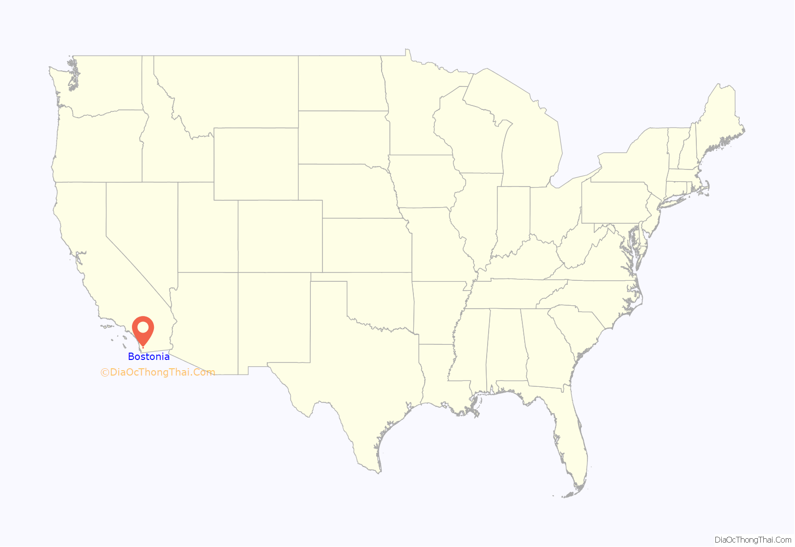
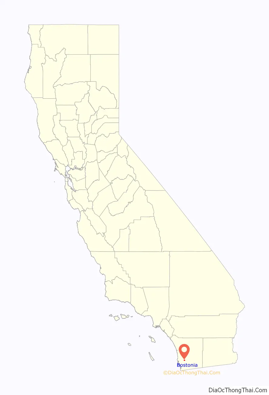
Bostonia location map. Where is Bostonia CDP?
History
Agriculture
Former Virginia agriculturalist Eugene Halstead of San Diego planted a crop of tobacco in Bostonia in 1896 and said later that the tobacco was “superior in some respects to that of the Cuban plantations,” one “serious drawback” to cultivation being the scarcity of rain in the area.
Civic events
In 1898, David G. Gordon was appointed postmaster in Bostonia to replace Joseph Donald, who had resigned. C.O. Graves held the office in 1903. In 1914, William M. Wright was appointed postmaster to replace R.W. Foffland, who had resigned.
In 1928, Murray Wright was president of the Bostonia Chamber of Commerce.
In that same year, civic leaders in Bostonia planned to name a local observation as “Grape Day” which led some in neighboring Escondido to complain that their city already had an event under the same name. They were mollified when Bostonians said they would call their event “Home Products Day” instead.
Crime
“Firebugs” believed by Sheriff Conklin to have been members of the Industrial Workers of the World, “German sympathizers” or “disgruntled employees,” torched the Meridian School building, a large packing house and two stables of the Bostonia Fruit Growers and Packers Association on October 6, 1917. Waste soaked in oil or phosphorus was found in what remained of the buildings, which burned to the ground.
Sheriff’s deputies engaged in a short gun battle in Bostonia and captured a suicidal man who had threatened a bank in Lakeside, California, with ten pounds of dynamite and fled with his loot.
Annexation
In May 1953 residents of the southern portion of Bostonia approved annexation to the city of El Cajon, California, by a vote of 315 to 271.
Swap meet
In 1981 a group of Bostonia residents organized to complain about the disruption caused by historic El Cajon Swap Meet, reputedly the “granddaddy of all the nation’s swap meets. They said the weekend operation had grown beyond the “small-time affair it once was,” turning the usually quiet area into a “mob scene.”
Fire district and fires
A petition was submitted in 1977 by owners of 112 acres within the 480-acre Bostonia Fire Protection District to secede and join the Santee district. It was denied by the Local Agency Formation Commission.
In 1986, a fire in nearby El Cajon killed two and injured five residents at a home for the aged despite the fact that it broke out only a hundred yards from a station within the Bostonia Fire Protection District.
The Bostonia firefighters were prevented from battling the blaze because the district had no mutual-aid agreement with El Cajon, whose firefighters arrived three minutes after the fire was reported. El Cajon Fire Chief Art Melbourne said that Bostonia firefighters did give help but declined to say exactly what it was.
El Cajon Fire Chief Roger House said that Bostonia was not part of any agreement because it did not meet the requirements for belonging, including round-the-clock staffing and a certain kind of equipment.
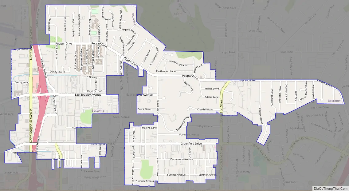
Bostonia Road Map
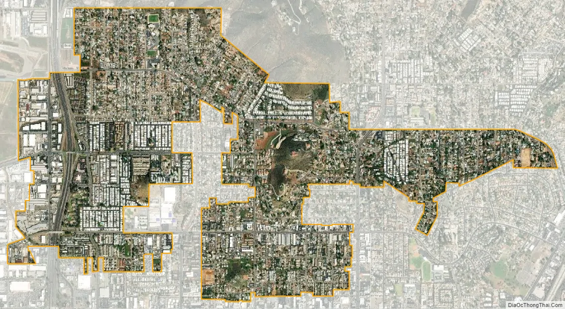
Bostonia city Satellite Map
Geography
The center of the community is near the intersection of North 2nd Street and Broadway in the city of El Cajon. Bostonia Street, the Bostonia Post Office, the former Bostonia Ballroom, Bostonia Elementary School and the Bostonia Fire Station are all within 2,000 feet (610 m) of this location and all, except the fire station, are within the city of El Cajon. This is the area identified on most maps as Bostonia. However, the census-designated place of Bostonia is entirely outside the city limits of El Cajon, in an unincorporated area of County. The CDP comprises most of unincorporated El Cajon north of Broadway and east of State Route 67, and a small area west of State Route 67. Mail sent to all parts of Bostonia is addressed to El Cajon.
According to the United States Census Bureau Bostonia is located at 32°49′18″N 116°57′0″W / 32.82167°N 116.95000°W / 32.82167; -116.95000 (32.821612, -116.949905). This is approximately one mile northwest of where the USGS places Bostonia, near the geographic center of the CDP. The CDP has a total area of 1.9 square miles (4.9 km), all land.
Ecology
Bostonia was home to numerous populations of Ambrosia pumila, a rare, clonal plant narrowly distributed in southern California and Baja California. Most populations of Ambrosia pumila in Bostonia grew on vacant lots, backyard strips, and gravel roads, and many since have been extirpated by development. Additionally, Artemisia palmeri, a sagebrush nearly endemic to San Diego County, was once found in the neighborhood. Other plants historically collected from Bostonia include Primula clevelandii, Sidalcea malviflora, Sisyrinchium bellum and Viola pedunculata.
See also
Map of California State and its subdivision:- Alameda
- Alpine
- Amador
- Butte
- Calaveras
- Colusa
- Contra Costa
- Del Norte
- El Dorado
- Fresno
- Glenn
- Humboldt
- Imperial
- Inyo
- Kern
- Kings
- Lake
- Lassen
- Los Angeles
- Madera
- Marin
- Mariposa
- Mendocino
- Merced
- Modoc
- Mono
- Monterey
- Napa
- Nevada
- Orange
- Placer
- Plumas
- Riverside
- Sacramento
- San Benito
- San Bernardino
- San Diego
- San Francisco
- San Joaquin
- San Luis Obispo
- San Mateo
- Santa Barbara
- Santa Clara
- Santa Cruz
- Shasta
- Sierra
- Siskiyou
- Solano
- Sonoma
- Stanislaus
- Sutter
- Tehama
- Trinity
- Tulare
- Tuolumne
- Ventura
- Yolo
- Yuba
- Alabama
- Alaska
- Arizona
- Arkansas
- California
- Colorado
- Connecticut
- Delaware
- District of Columbia
- Florida
- Georgia
- Hawaii
- Idaho
- Illinois
- Indiana
- Iowa
- Kansas
- Kentucky
- Louisiana
- Maine
- Maryland
- Massachusetts
- Michigan
- Minnesota
- Mississippi
- Missouri
- Montana
- Nebraska
- Nevada
- New Hampshire
- New Jersey
- New Mexico
- New York
- North Carolina
- North Dakota
- Ohio
- Oklahoma
- Oregon
- Pennsylvania
- Rhode Island
- South Carolina
- South Dakota
- Tennessee
- Texas
- Utah
- Vermont
- Virginia
- Washington
- West Virginia
- Wisconsin
- Wyoming


