Boulevard is a census-designated place (CDP) in the Mountain Empire area of southeastern San Diego County, California. At the , it had a population of 359 at the 2020 United States census, up from 315 at the 2010 census. The area is rural high desert along the Mexican border near the eastern extent of San Diego County.
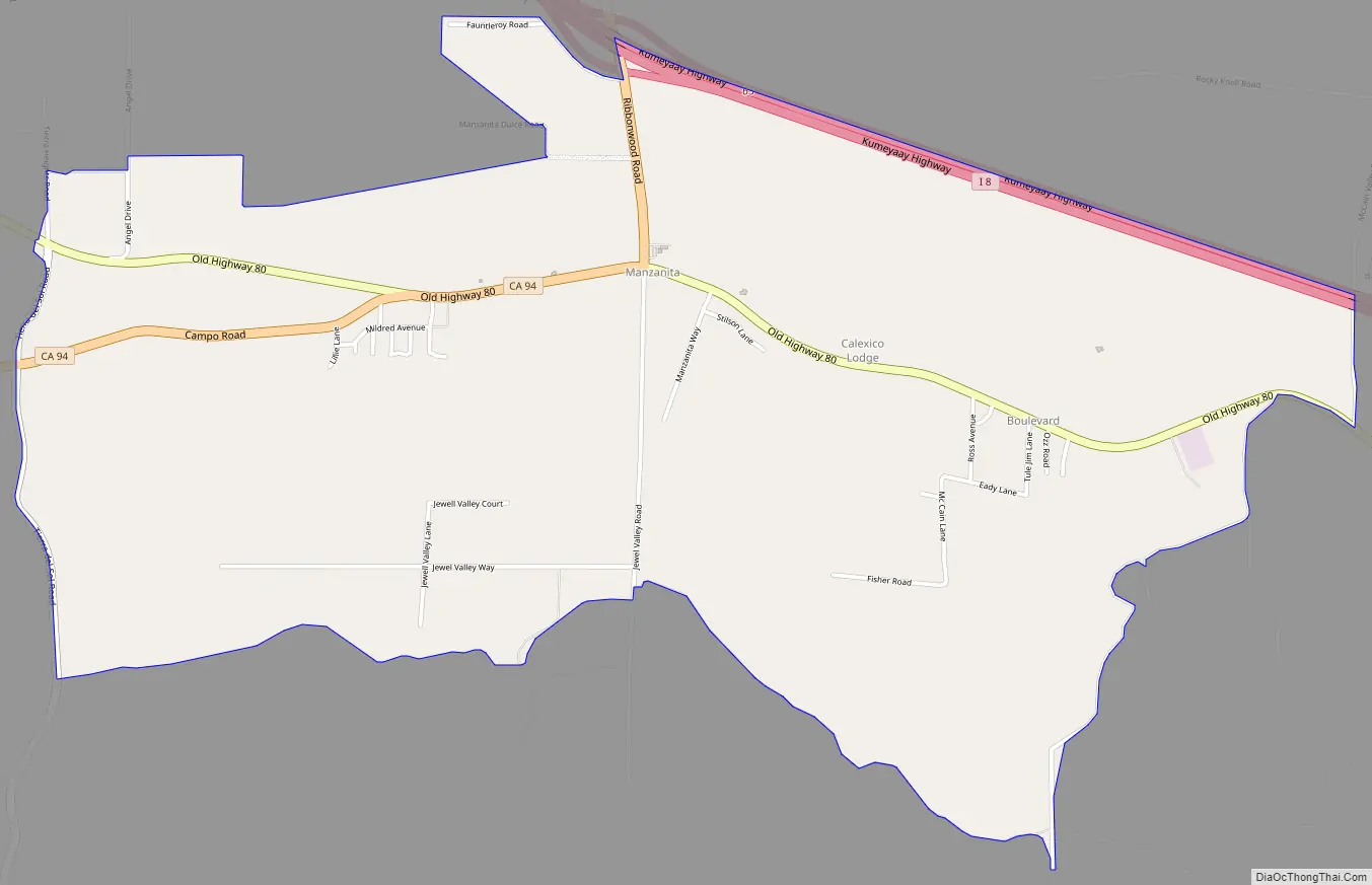
The Boulevard area encompasses the communities of Manzanita, Live Oak Springs and Tierra Del Sol. Nearby communities in the same wire center (central office) for wired telephones include: Calexico Lodge, Jacumba, Live Oak Springs, Manzanita, Pueblo Siding, and Tierra del Sol. Default wired telephone numbers for this area follow the format (619) 766-xxxx. The ZIP code is 91905.
| Name: | Boulevard CDP |
|---|---|
| LSAD Code: | 57 |
| LSAD Description: | CDP (suffix) |
| State: | California |
| County: | San Diego County |
| Elevation: | 3,638 ft (1,109 m) |
| Total Area: | 3.91 sq mi (10.12 km²) |
| Land Area: | 3.91 sq mi (10.12 km²) |
| Water Area: | 0.00 sq mi (0.00 km²) 0% |
| Total Population: | 359 |
| Population Density: | 91.91/sq mi (35.49/km²) |
| ZIP code: | 91905 |
| Area code: | 619 |
| FIPS code: | 0607694 |
| GNISfeature ID: | 2582949 |
Online Interactive Map
Click on ![]() to view map in "full screen" mode.
to view map in "full screen" mode.
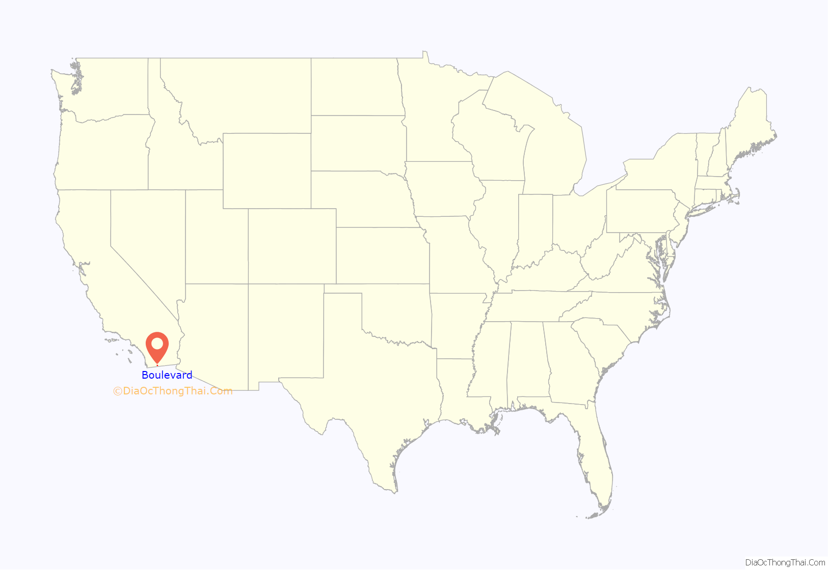
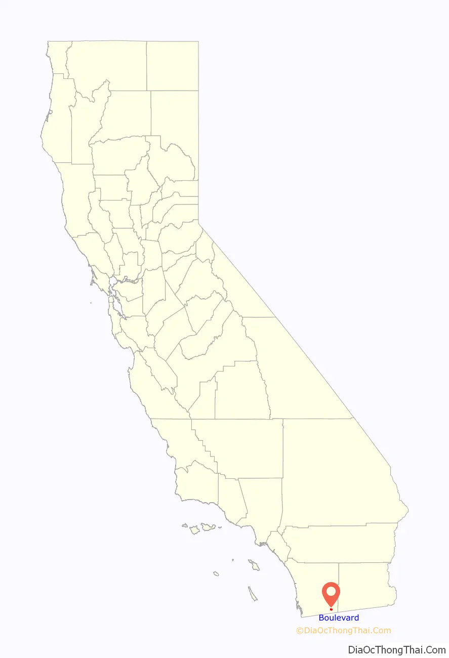
Boulevard location map. Where is Boulevard CDP?
History
The Kumeyaay and Cocopah Indians were Boulevard’s earliest inhabitants, and the area is rich in Native American history, culture and archeological resources. Today Boulevard is the headquarters of the Manzanita Band of Diegueno Mission Indians.
An area near Calexico Lodge is occasionally referred to as Eckener Pass. Reportedly, this is a reference to German Zeppelin pioneer Hugo Eckener. In August 1929, Hugo Eckener’s Zeppelin Z-127 “Graf Zeppelin”, a sister ship of the Hindenburg, landed here on the Los Angeles-Chicago leg of her round-the-world tour.
The town and post office were named Boulevard after US Highway 80 which ran through town. Eventually Interstate 8 was constructed, bypassing the town. Local residents report an alternate version of the origin of the name. Boulevard used to be a stage coach stop, reportedly near today’s McCain Valley road, east of today’s core of Boulevard. Coming from Arizona, this stop was on the first long, flat straight stretch of road, “a boulevard”, after climbing the winding In-Ko-Pah mountains and passing through windier roads in Jacumba.
In January 2007, the La Posta Casino, owned and operated by the La Posta Band of Mission Indians, opened. It was the smallest casino in the county until it closed in 2012 due to its financial situation.
Boulevard Road Map
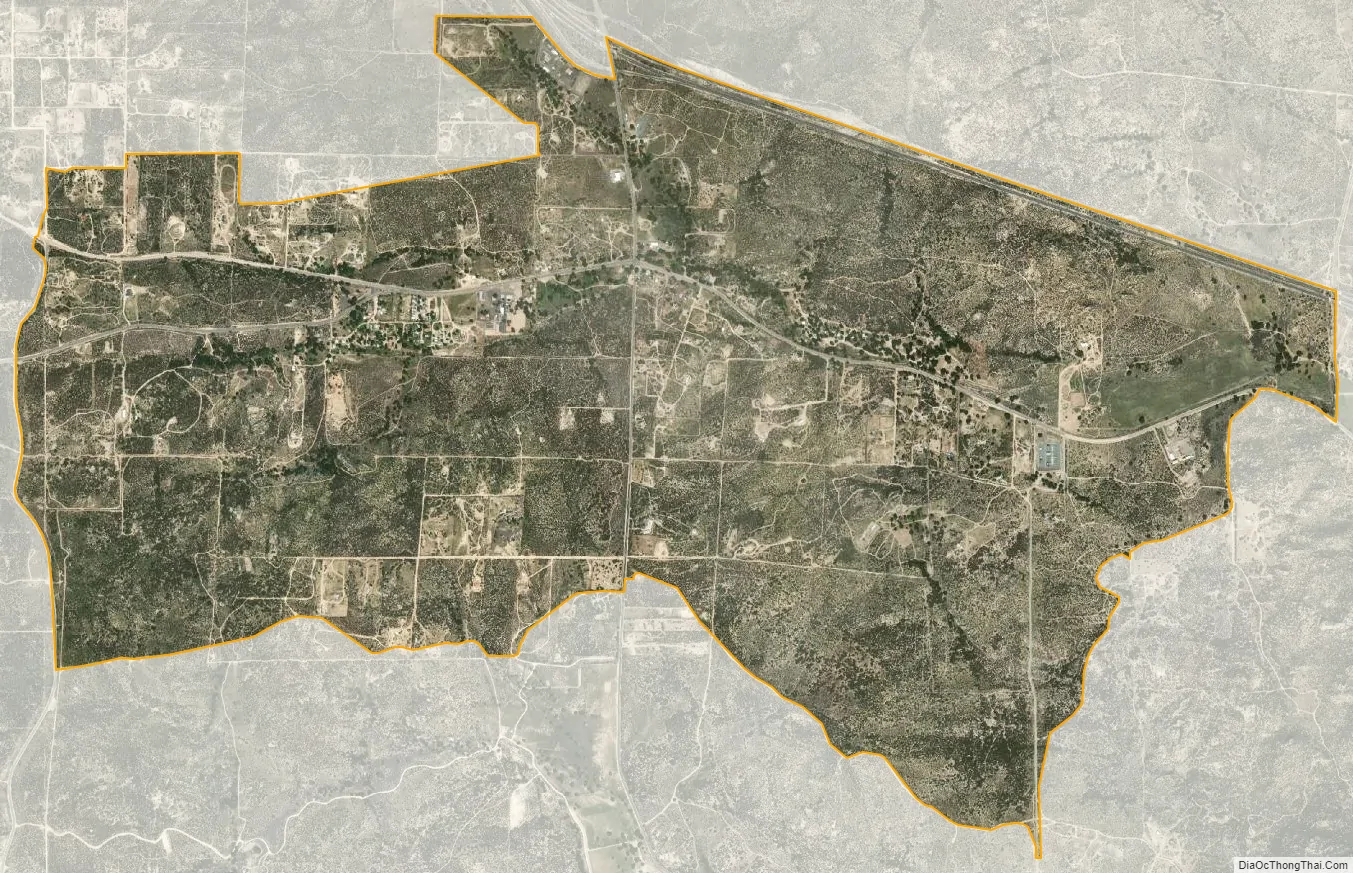
Boulevard city Satellite Map
Geography
According to the United States Census Bureau, the CDP covers an area of 3.9 square miles (10.1 km), all land. However, this only includes the village area of Boulevard. More commonly, Boulevard includes rural outlying areas. The Boulevard Community Planning Group includes approximately 55,350 acres, or about 86 square miles.
Located in the East County section of San Diego County, Boulevard with its unique transitional location straddles the Tecate Divide, between the Laguna Mountains above and the desert below, providing views of the surrounding Laguna, In-Ko-Pah and Sierra de Juarez mountains.
The community is south of Interstate 8 about 50 miles (80 km) west of El Centro. The US Post Office is plotted at 32°39′50″N 116°16′30″W / 32.66389°N 116.27500°W / 32.66389; -116.27500 although the actual post office has since moved approximately two miles west near the separation of Old Highway 80 and State Route 94. The post office, and the community it serves, has the ZIP Code 91905.
Regulatory filings show a California Department of Transportation facility described as a highway maintenance station in Boulevard. It is located in the 40000-block of Old Highway 80 on the south side at 32°39′46″N 116°15′58″W / 32.66278°N 116.26611°W / 32.66278; -116.26611 as of 1993, and still exists as of 2018.
Climate
According to the Köppen Climate Classification system, Boulevard has a warm-summer Mediterranean climate, abbreviated “Csa” on climate maps.
See also
Map of California State and its subdivision:- Alameda
- Alpine
- Amador
- Butte
- Calaveras
- Colusa
- Contra Costa
- Del Norte
- El Dorado
- Fresno
- Glenn
- Humboldt
- Imperial
- Inyo
- Kern
- Kings
- Lake
- Lassen
- Los Angeles
- Madera
- Marin
- Mariposa
- Mendocino
- Merced
- Modoc
- Mono
- Monterey
- Napa
- Nevada
- Orange
- Placer
- Plumas
- Riverside
- Sacramento
- San Benito
- San Bernardino
- San Diego
- San Francisco
- San Joaquin
- San Luis Obispo
- San Mateo
- Santa Barbara
- Santa Clara
- Santa Cruz
- Shasta
- Sierra
- Siskiyou
- Solano
- Sonoma
- Stanislaus
- Sutter
- Tehama
- Trinity
- Tulare
- Tuolumne
- Ventura
- Yolo
- Yuba
- Alabama
- Alaska
- Arizona
- Arkansas
- California
- Colorado
- Connecticut
- Delaware
- District of Columbia
- Florida
- Georgia
- Hawaii
- Idaho
- Illinois
- Indiana
- Iowa
- Kansas
- Kentucky
- Louisiana
- Maine
- Maryland
- Massachusetts
- Michigan
- Minnesota
- Mississippi
- Missouri
- Montana
- Nebraska
- Nevada
- New Hampshire
- New Jersey
- New Mexico
- New York
- North Carolina
- North Dakota
- Ohio
- Oklahoma
- Oregon
- Pennsylvania
- Rhode Island
- South Carolina
- South Dakota
- Tennessee
- Texas
- Utah
- Vermont
- Virginia
- Washington
- West Virginia
- Wisconsin
- Wyoming


