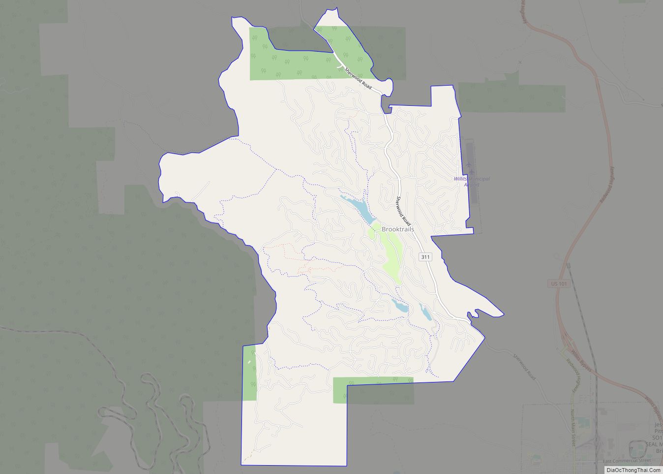
Brooktrails is a census-designated place and unincorporated community in Mendocino County, California, United States. It shares ZIP code 95490 with Willits. The population was 3,632 at the 2020 census.
| Name: | Brooktrails CDP |
|---|---|
| LSAD Code: | 57 |
| LSAD Description: | CDP (suffix) |
| State: | California |
| County: | Mendocino County |
| Elevation: | 1,634 ft (498 m) |
| Total Area: | 7.32 sq mi (19.0 km²) |
| Land Area: | 7.27 sq mi (18.8 km²) |
| Water Area: | 0.05 sq mi (0.1 km²) 0.64% |
| Total Population: | 3,632 |
| Population Density: | 499.45/sq mi (192.84/km²) |
| ZIP code: | 95490 (Willits) |
| Area code: | 707 |
| FIPS code: | 0608530 |
| GNISfeature ID: | 1724158; 2628713 |
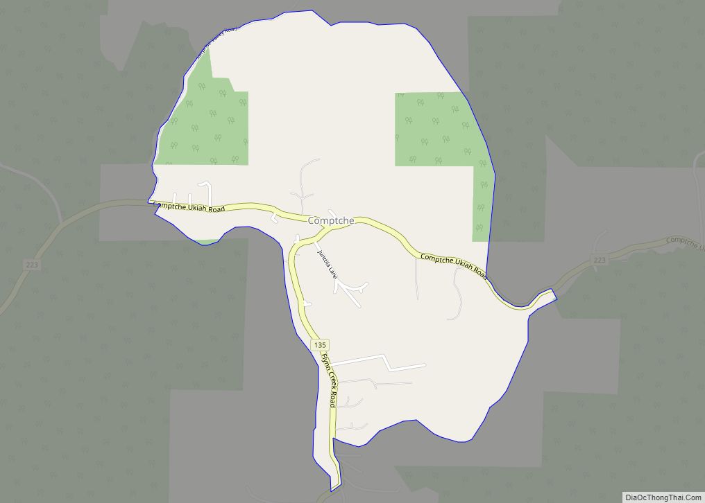
Online Interactive Map
Click on ![]() to view map in "full screen" mode.
to view map in "full screen" mode.
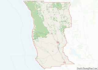
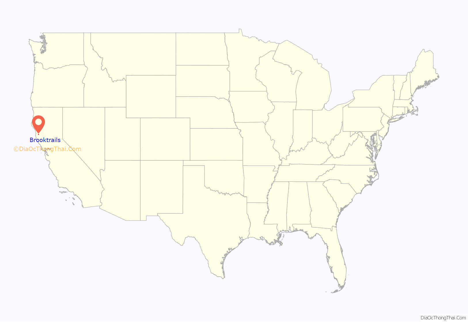
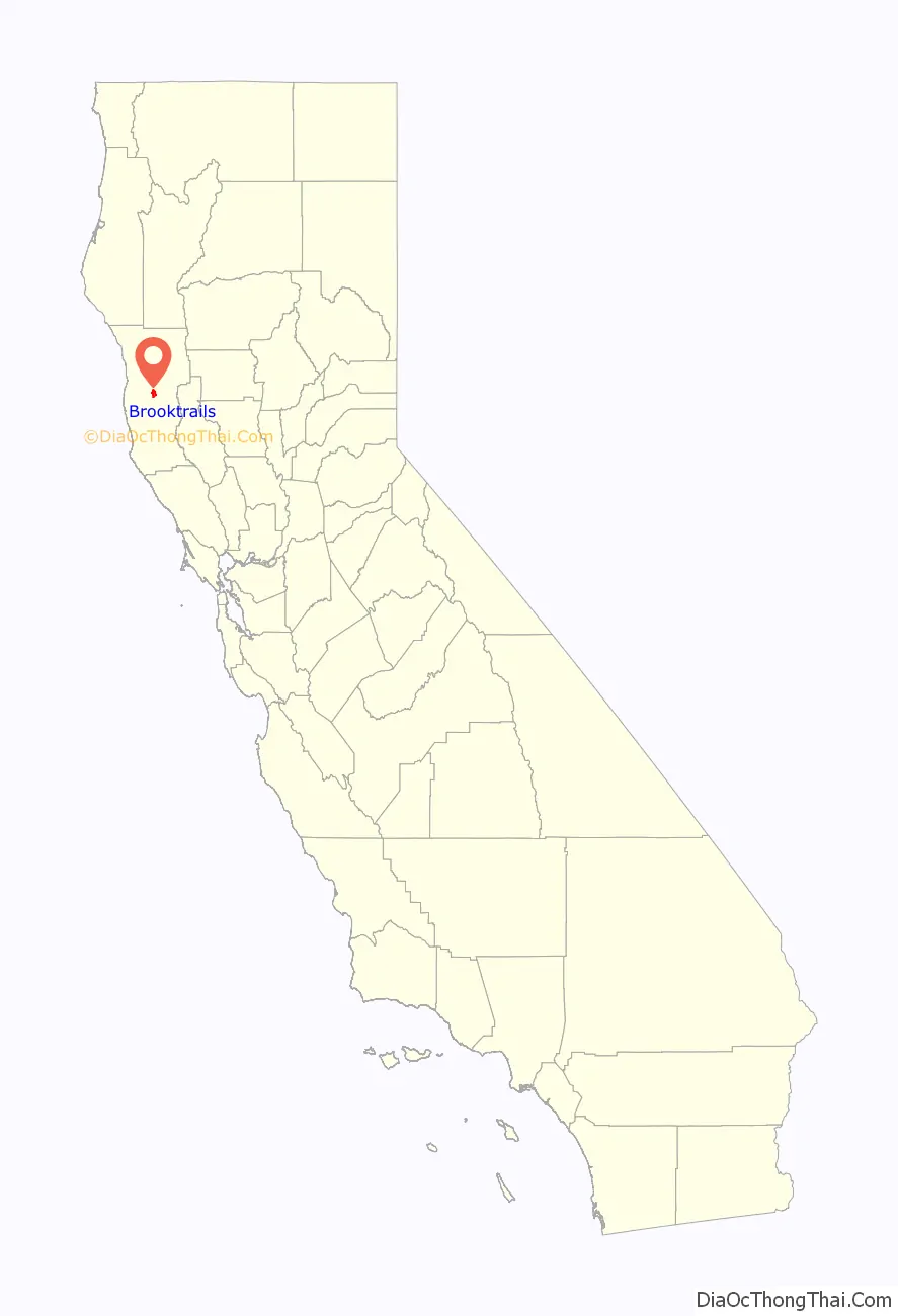
Brooktrails location map. Where is Brooktrails CDP?
History
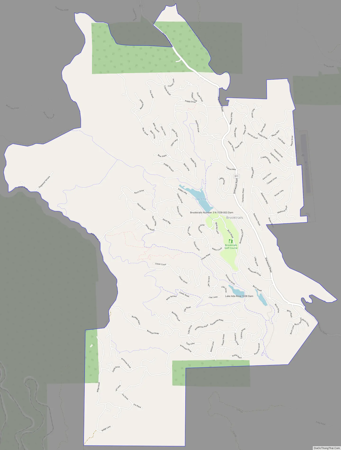
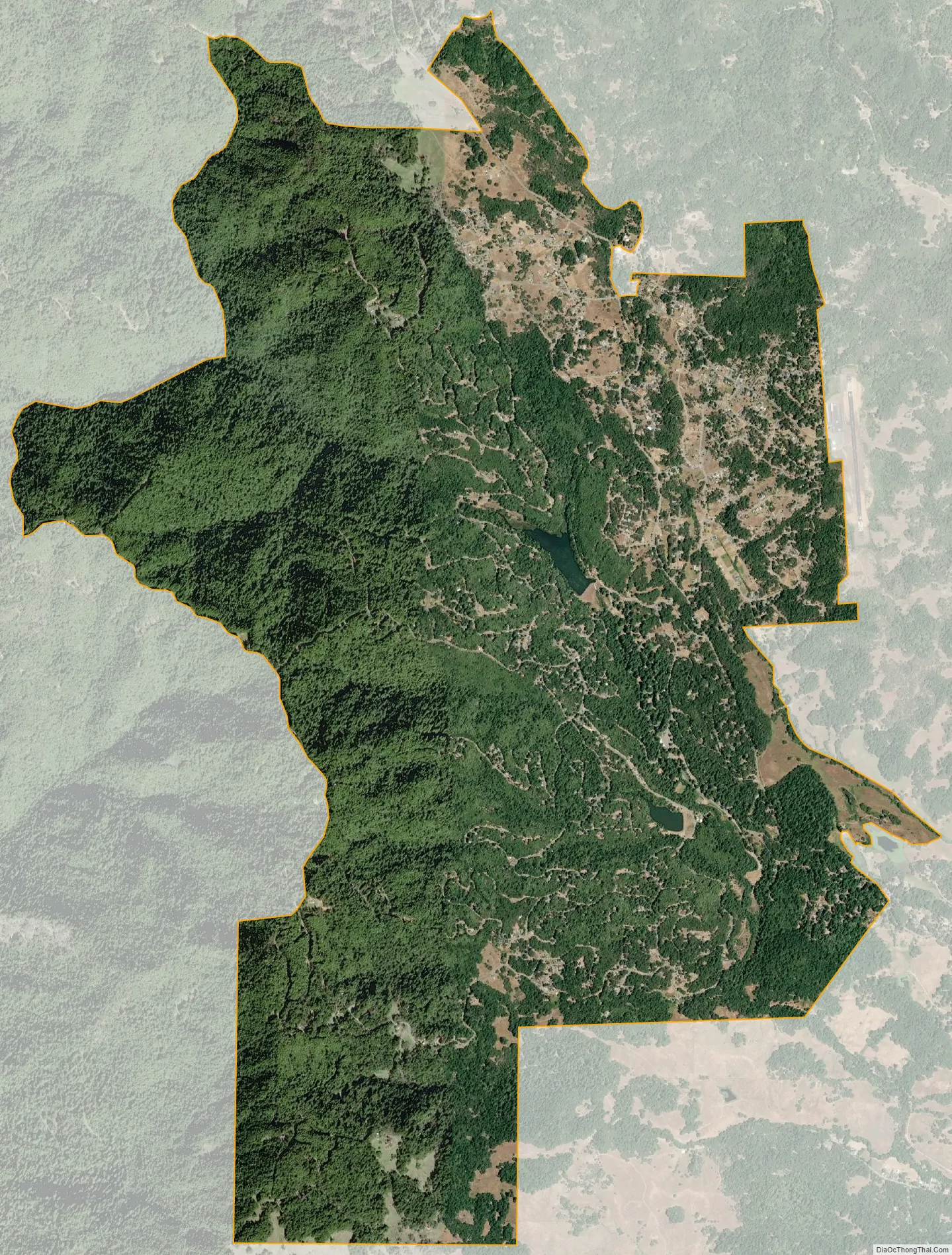
After being extensively logged from the 1880s to the middle of the twentieth century, Brooktrails Township was founded under a special provision in state law. It was marketed as a vacation mountain retreat for San Franciscans in the 1970s. It has approximately 6,600 parcels varying in size from 0.3 acres (0.12 ha) to 10 acres (4.0 ha). The smaller parcels are mostly surrounded by the township-owned Brooktrails Redwood Park, a 2,600-acre (1,100 ha) forest green belt composed of tan oak, Douglas fir and redwood. Brooktrails has over 30 hiking trails and two lakes, Lake Emily and Lake Ada Rose, that store and direct water to its water treatment plant. There is also a small market and a deli. The Brooktrails Township Community Services District, governed by a five-member elected board of directors, provides water, sewer, and recreational services to the residents.
In 2012, Mendocino County paid the back assessments on hundreds of abandoned Brooktrails lots; however, they stopped paying water, sewer and fire assessments for those lots.
The entire community of Brooktrails was evacuated in September 2020 due to the threat of the Oak Fire.
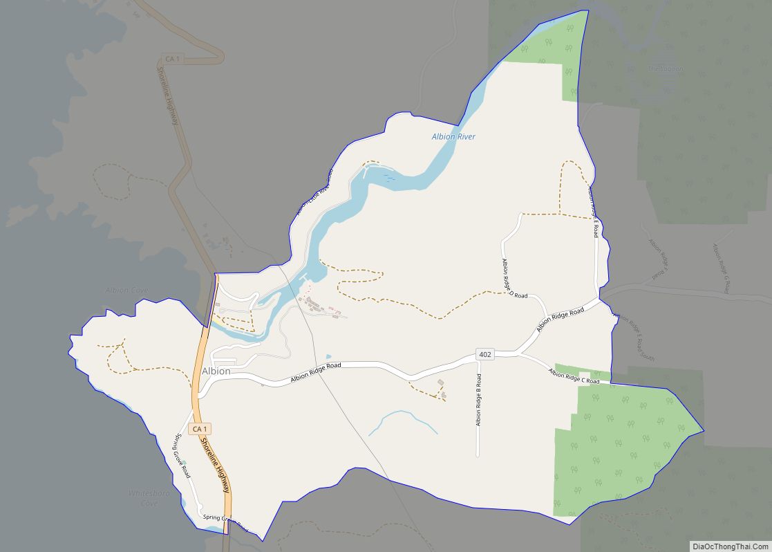
Brooktrails Road Map
Brooktrails city Satellite Map
Geography
Brooktrails is in central Mendocino County, occupying hills to the west of Little Lake Valley. The fire department and golf course lie at an elevation of 1,634 feet (498 m), but the community’s western edge rises to nearly 3,000 feet (910 m). It is 3 miles (5 km) north of Willits. According to the United States Census Bureau, the CDP covers an area of 7.3 square miles (19 km), 99.36% of it land, and 0.64% of it water.
See also
Map of California State and its subdivision:- Alameda
- Alpine
- Amador
- Butte
- Calaveras
- Colusa
- Contra Costa
- Del Norte
- El Dorado
- Fresno
- Glenn
- Humboldt
- Imperial
- Inyo
- Kern
- Kings
- Lake
- Lassen
- Los Angeles
- Madera
- Marin
- Mariposa
- Mendocino
- Merced
- Modoc
- Mono
- Monterey
- Napa
- Nevada
- Orange
- Placer
- Plumas
- Riverside
- Sacramento
- San Benito
- San Bernardino
- San Diego
- San Francisco
- San Joaquin
- San Luis Obispo
- San Mateo
- Santa Barbara
- Santa Clara
- Santa Cruz
- Shasta
- Sierra
- Siskiyou
- Solano
- Sonoma
- Stanislaus
- Sutter
- Tehama
- Trinity
- Tulare
- Tuolumne
- Ventura
- Yolo
- Yuba
- Alabama
- Alaska
- Arizona
- Arkansas
- California
- Colorado
- Connecticut
- Delaware
- District of Columbia
- Florida
- Georgia
- Hawaii
- Idaho
- Illinois
- Indiana
- Iowa
- Kansas
- Kentucky
- Louisiana
- Maine
- Maryland
- Massachusetts
- Michigan
- Minnesota
- Mississippi
- Missouri
- Montana
- Nebraska
- Nevada
- New Hampshire
- New Jersey
- New Mexico
- New York
- North Carolina
- North Dakota
- Ohio
- Oklahoma
- Oregon
- Pennsylvania
- Rhode Island
- South Carolina
- South Dakota
- Tennessee
- Texas
- Utah
- Vermont
- Virginia
- Washington
- West Virginia
- Wisconsin
- Wyoming