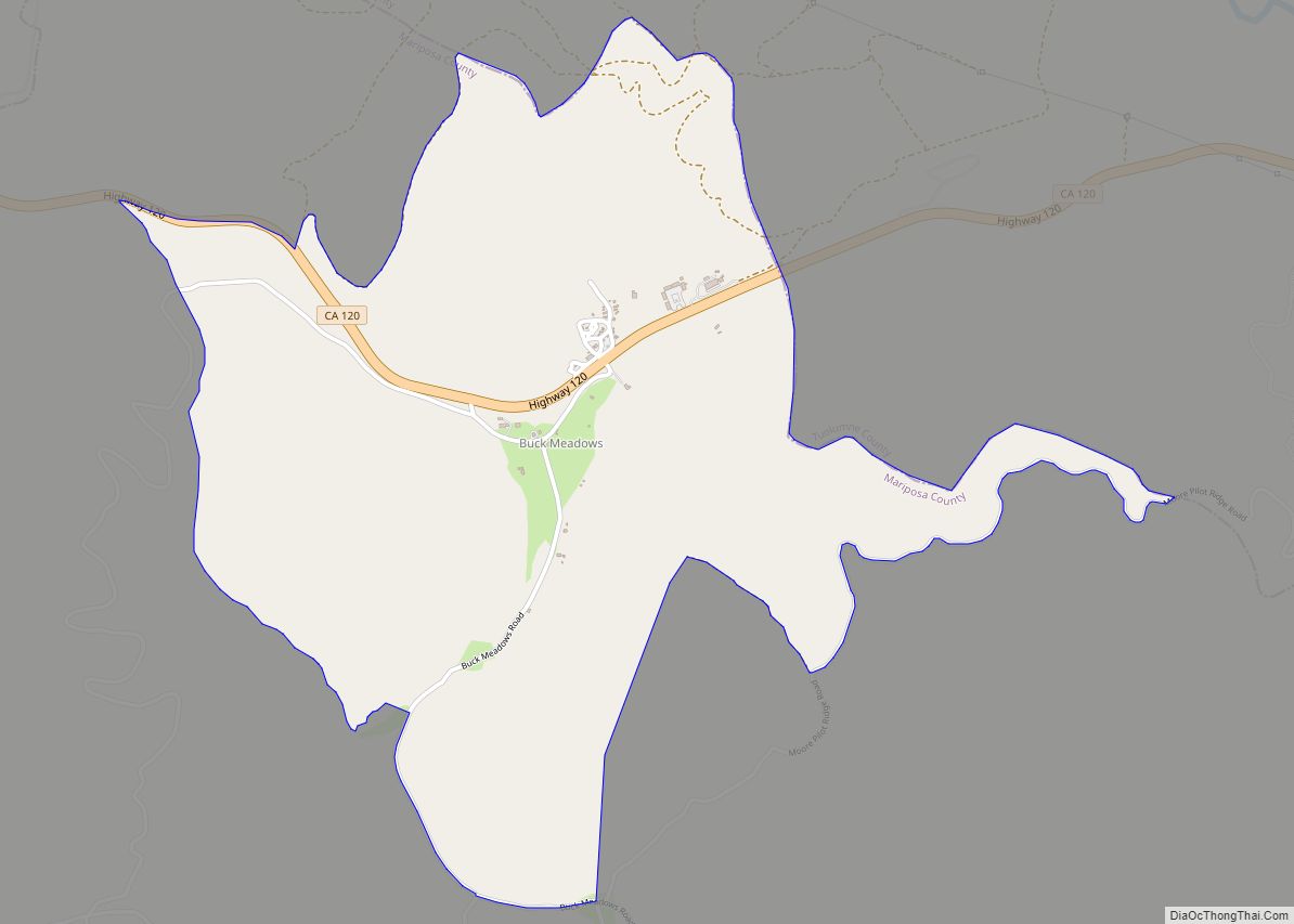
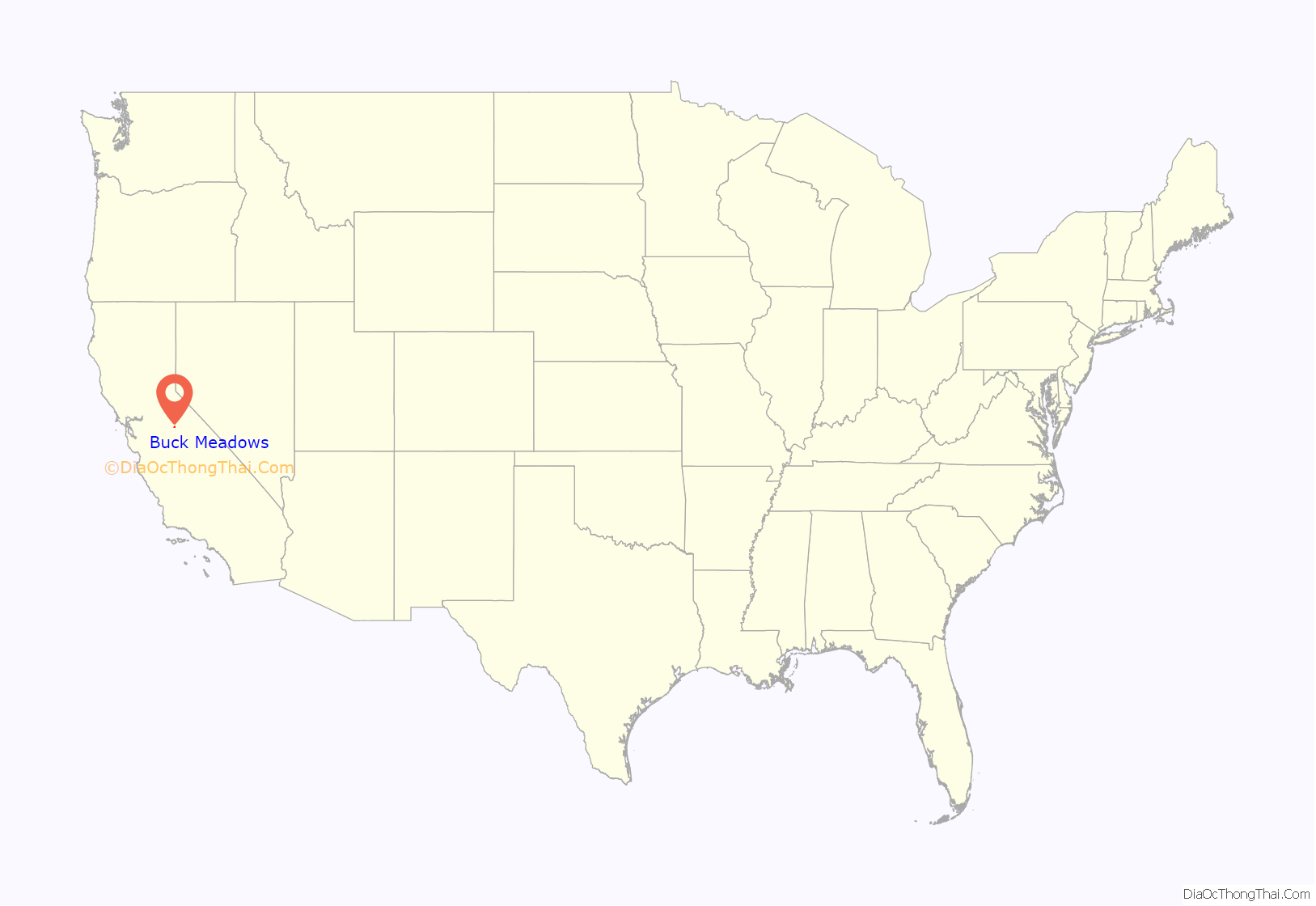
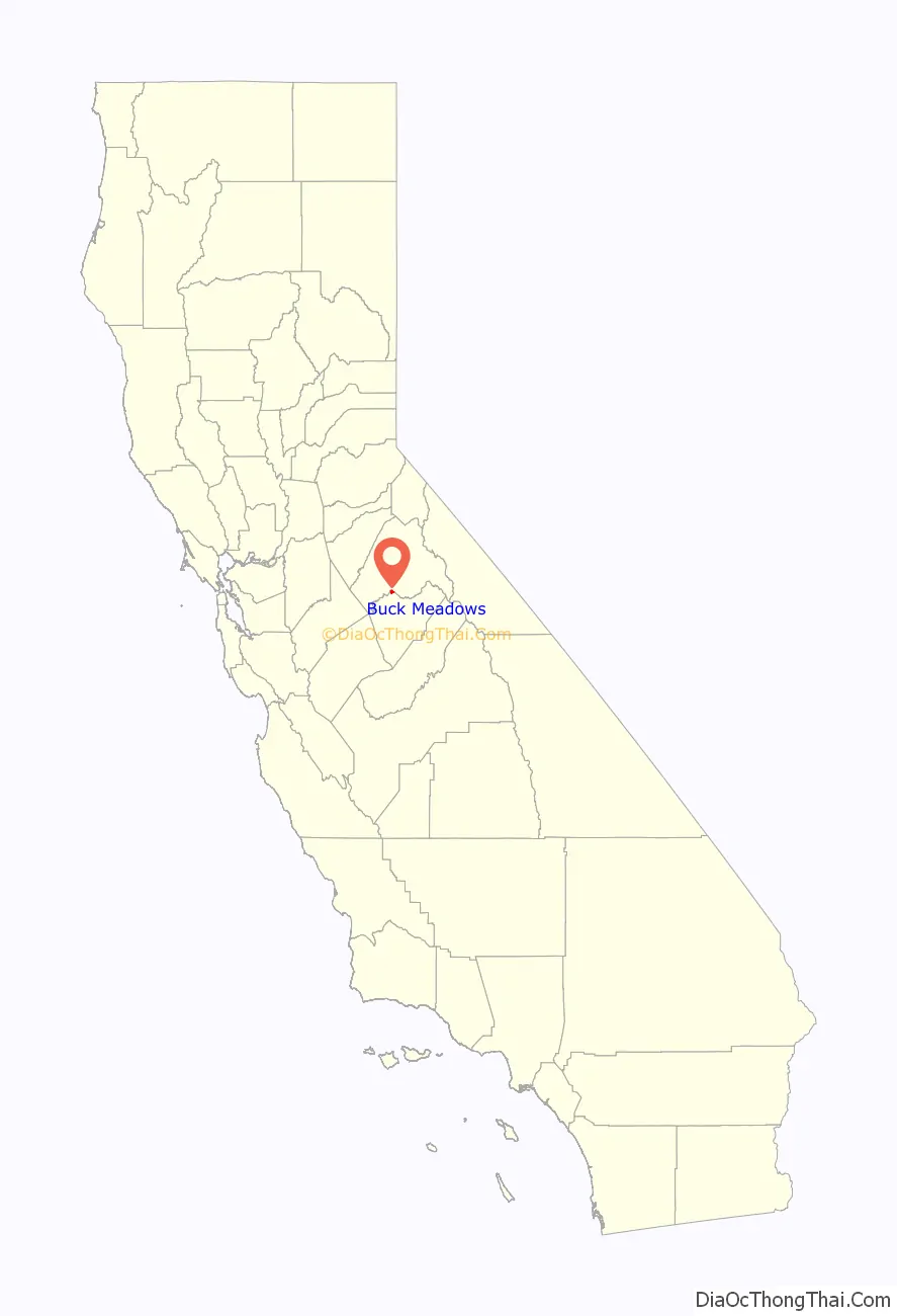
Buck Meadows (formerly Hamilton’s and Hamilton’s Station) is a census-designated place in Mariposa County, California, United States. It is located 2 miles (3 km) east-northeast of Smith Peak, at an elevation of 3,015 feet (919 m). The population was 21 at the 2020 census.
Buck Meadows lies just south of the Tuolumne County line. It is on State Route 120, 11 miles (18 km) east of Groveland. The ZIP Code for this community is shared with Groveland (95321), and wired telephones work out of Groveland’s telephone exchange with numbers following the format (209) 962-xxxx. The official U.S. Geological Survey coordinates for the community are 37°48′46″N 120°03′52″W / 37.81278°N 120.06444°W / 37.81278; -120.06444.
The area is named for Buck’s Meadow 37°48′43″N 120°07′07″W / 37.81194°N 120.11861°W / 37.81194; -120.11861 which lies at the corner of SR120 and Smith Station Road. According to The Big Oak Flat Road, a variant name for the area was Hamilton’s Station. This may have referred to the name of a stagecoach stop.
2.5 miles (4.0 km) east of U.S.F.S. Buck Meadows Fire Station, “Rim of the World” overlooks the canyon containing the South Fork of the Tuolumne River.
Further east, visitors on hot summer days can cool off at a Stanislaus National Forest picnic area called “Rainbow Pool”. The area is on the south side of SR120 2.25 miles east of U.S.F.S. Buck Meadows Fire Station.
This community is home to Lucky Buck Restaurant on SR120. Southwest of town, the U.S. Forest Service, Stanislaus National Forest fire lookout at Smith Peak overlooks the area. A U.S.F.S. campground and fire station are also present in the community. The Pines campground is located at 37°49′05″N 120°05′36″W / 37.81806°N 120.09333°W / 37.81806; -120.09333.
| Name: | Buck Meadows CDP |
|---|---|
| LSAD Code: | 57 |
| LSAD Description: | CDP (suffix) |
| State: | California |
| County: | Mariposa County |
| Elevation: | 3,015 ft (919 m) |
| Total Area: | 0.535 sq mi (1.39 km²) |
| Land Area: | 0.535 sq mi (1.39 km²) |
| Water Area: | 0.00 sq mi (0.0 km²) 0% |
| Total Population: | 21 |
| ZIP code: | 95321 (Groveland) |
| FIPS code: | 0608716 |
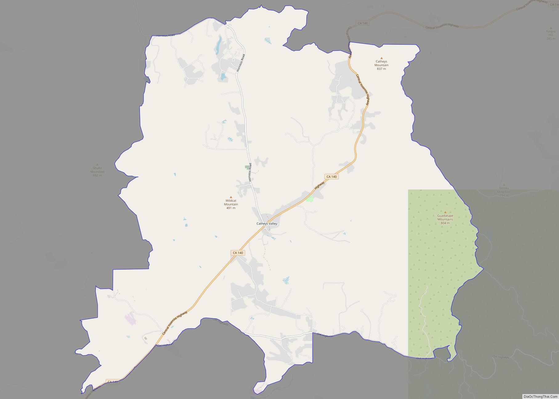
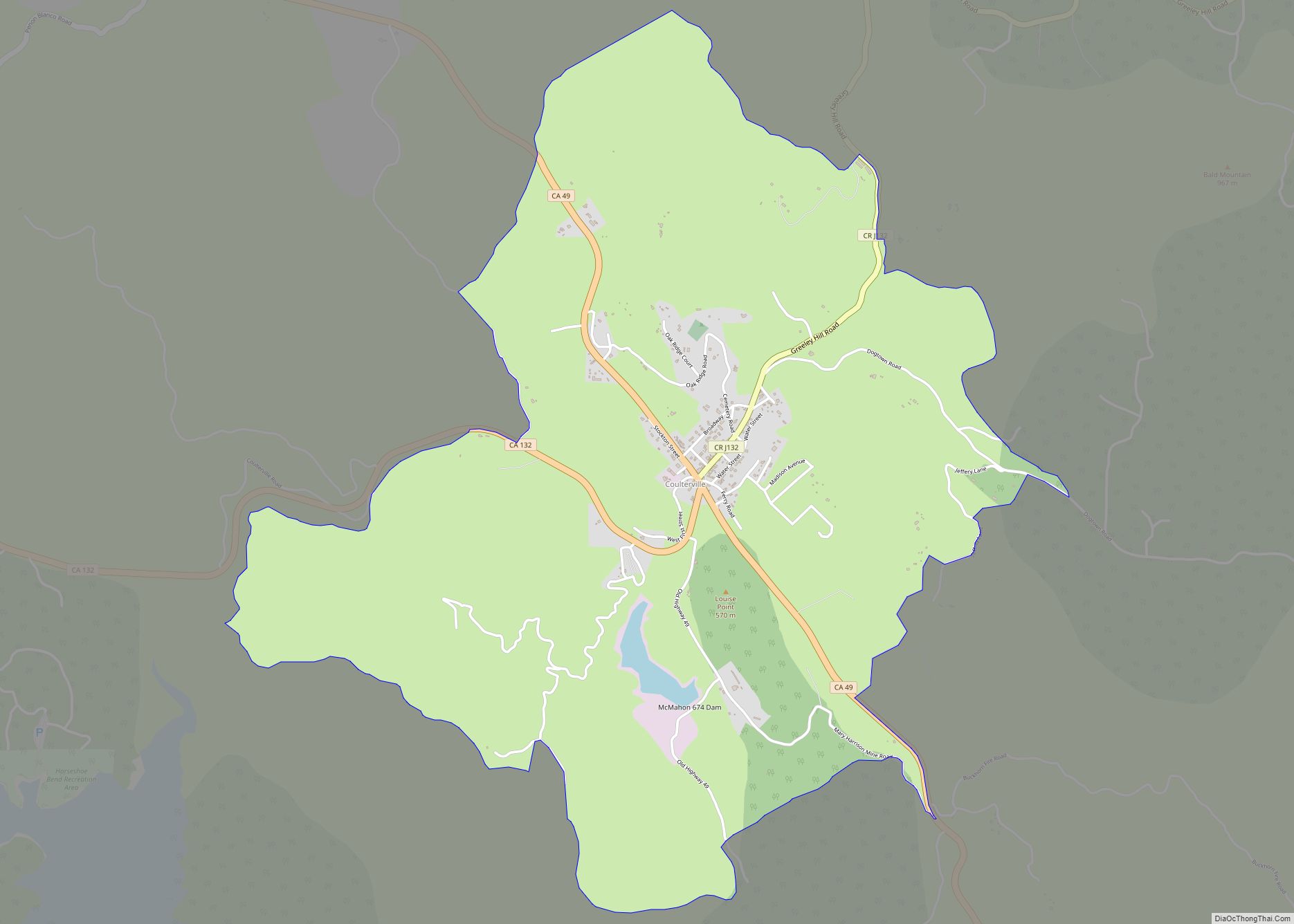
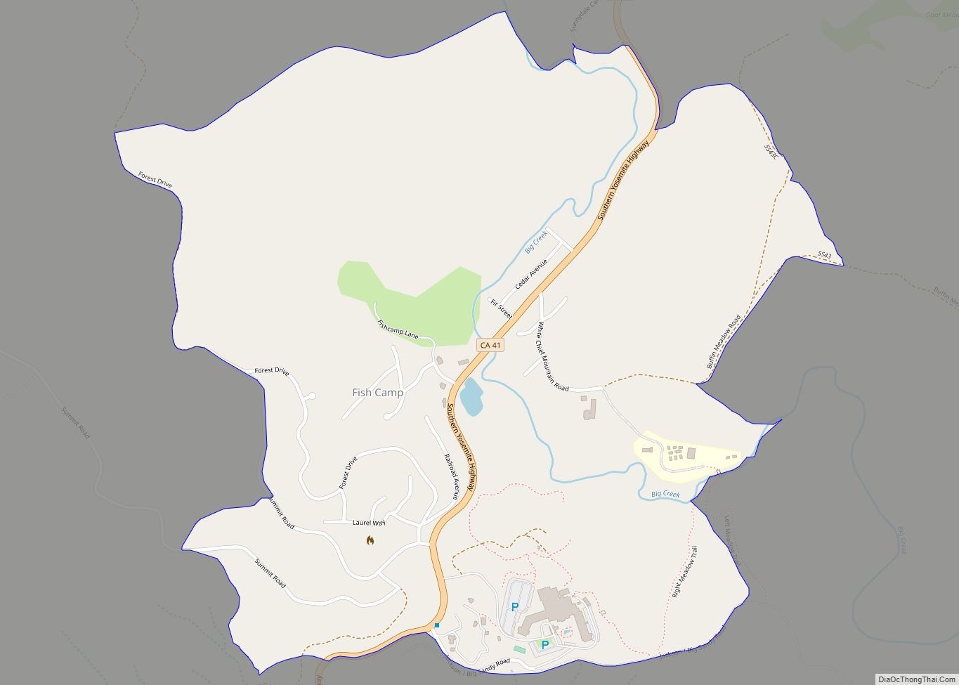
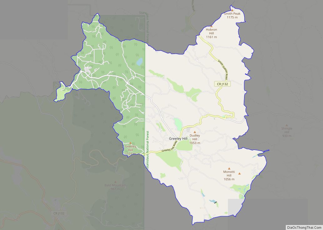
Online Interactive Map
Click on ![]() to view map in "full screen" mode.
to view map in "full screen" mode.
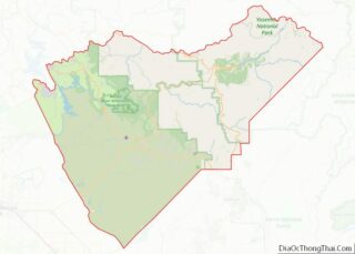
Buck Meadows location map. Where is Buck Meadows CDP?
History
Buck Meadows started as a stage stop called Hamilton’s established by Alva Hamilton in the 1870s. A post office operated at Buck Meadows from 1915 to 1925.
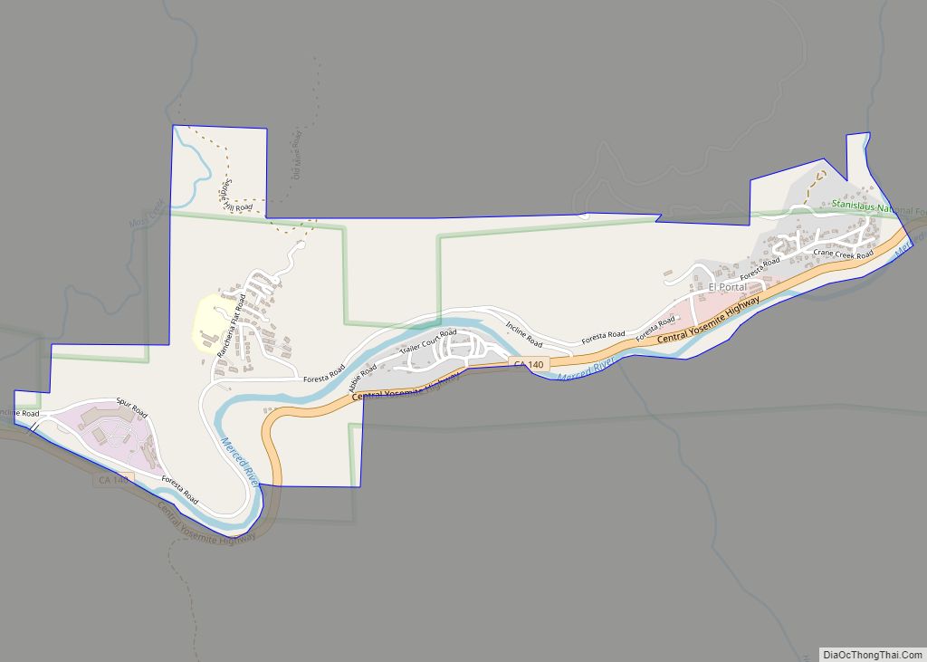
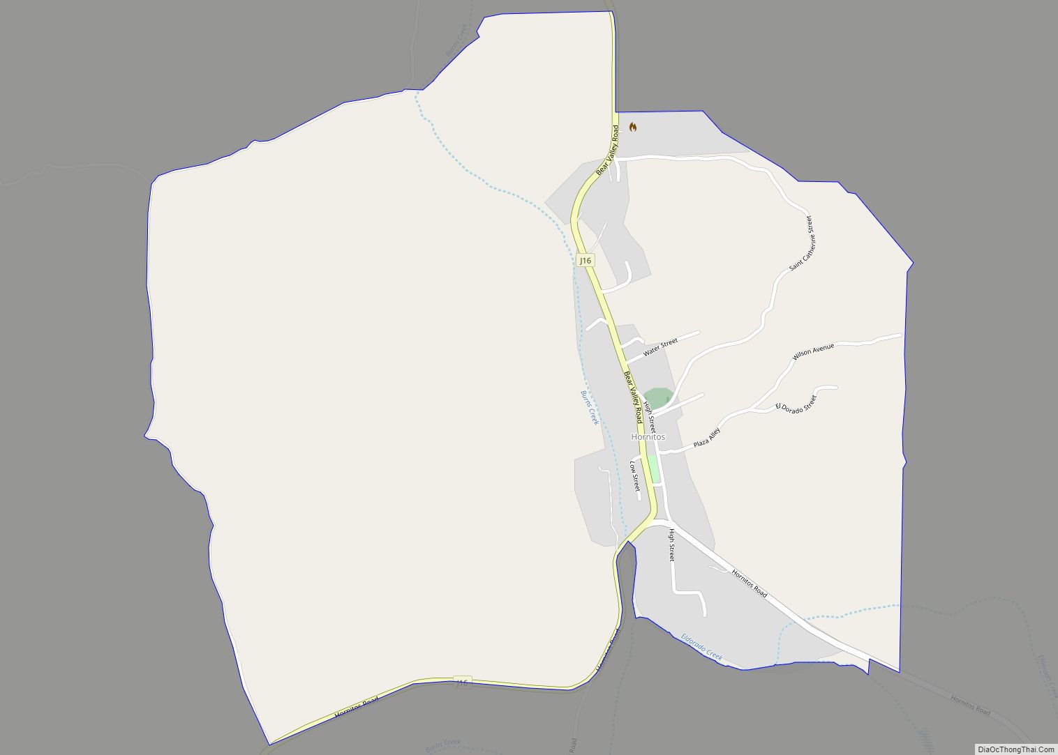
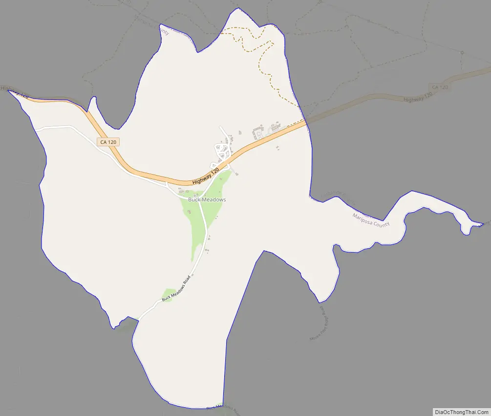
Buck Meadows Road Map
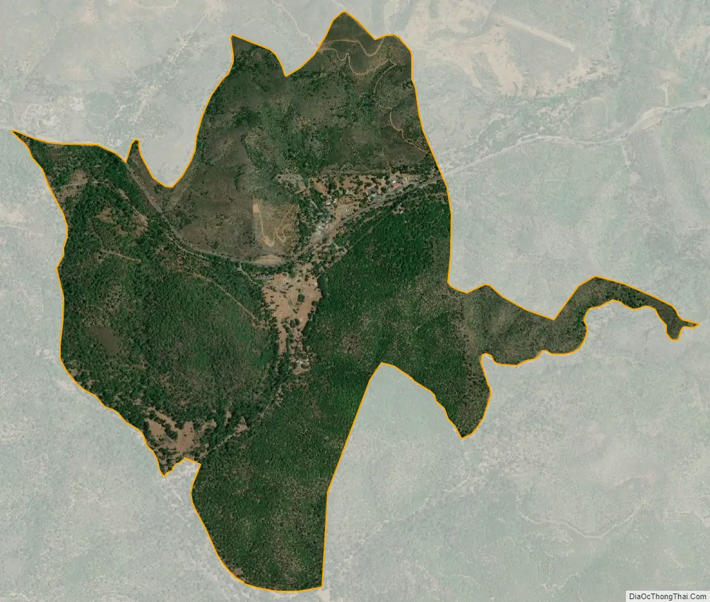
Buck Meadows city Satellite Map
Geography
According to the United States Census Bureau, the CDP covers 0.535 square miles (1.386 km), all land.
Climate
According to the Köppen Climate Classification system, Buck Meadows has a warm-summer Mediterranean climate, abbreviated “Csa” on climate maps.
See also
Map of California State and its subdivision:- Alameda
- Alpine
- Amador
- Butte
- Calaveras
- Colusa
- Contra Costa
- Del Norte
- El Dorado
- Fresno
- Glenn
- Humboldt
- Imperial
- Inyo
- Kern
- Kings
- Lake
- Lassen
- Los Angeles
- Madera
- Marin
- Mariposa
- Mendocino
- Merced
- Modoc
- Mono
- Monterey
- Napa
- Nevada
- Orange
- Placer
- Plumas
- Riverside
- Sacramento
- San Benito
- San Bernardino
- San Diego
- San Francisco
- San Joaquin
- San Luis Obispo
- San Mateo
- Santa Barbara
- Santa Clara
- Santa Cruz
- Shasta
- Sierra
- Siskiyou
- Solano
- Sonoma
- Stanislaus
- Sutter
- Tehama
- Trinity
- Tulare
- Tuolumne
- Ventura
- Yolo
- Yuba
- Alabama
- Alaska
- Arizona
- Arkansas
- California
- Colorado
- Connecticut
- Delaware
- District of Columbia
- Florida
- Georgia
- Hawaii
- Idaho
- Illinois
- Indiana
- Iowa
- Kansas
- Kentucky
- Louisiana
- Maine
- Maryland
- Massachusetts
- Michigan
- Minnesota
- Mississippi
- Missouri
- Montana
- Nebraska
- Nevada
- New Hampshire
- New Jersey
- New Mexico
- New York
- North Carolina
- North Dakota
- Ohio
- Oklahoma
- Oregon
- Pennsylvania
- Rhode Island
- South Carolina
- South Dakota
- Tennessee
- Texas
- Utah
- Vermont
- Virginia
- Washington
- West Virginia
- Wisconsin
- Wyoming