Coulterville (formerly Maxwell’s Creek) is a census-designated place in Mariposa County, California, United States. It is located on Maxwell Creek 20 miles (32 km) northwest of Mariposa, at an elevation of 1,699 feet (518 m). Coulterville had a population of 115 at the 2020 census, down from 201 at the 2010 census, when the CDP covered a much greater area. It is a mining town located in the foothills of the Sierra Nevada. The ZIP Code is 95311. The community is inside area code 209.
| Name: | Coulterville CDP |
|---|---|
| LSAD Code: | 57 |
| LSAD Description: | CDP (suffix) |
| State: | California |
| County: | Mariposa County |
| Elevation: | 1,699 ft (518 m) |
| Total Area: | 0.39 sq mi (1.01 km²) |
| Land Area: | 0.39 sq mi (1.01 km²) |
| Water Area: | 0.00 sq mi (0.00 km²) 0.02% |
| Total Population: | 115 |
| Population Density: | 295.63/sq mi (114.15/km²) |
| ZIP code: | 95311 |
| Area code: | 209 |
| FIPS code: | 0616644 |
Online Interactive Map
Click on ![]() to view map in "full screen" mode.
to view map in "full screen" mode.
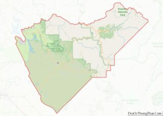
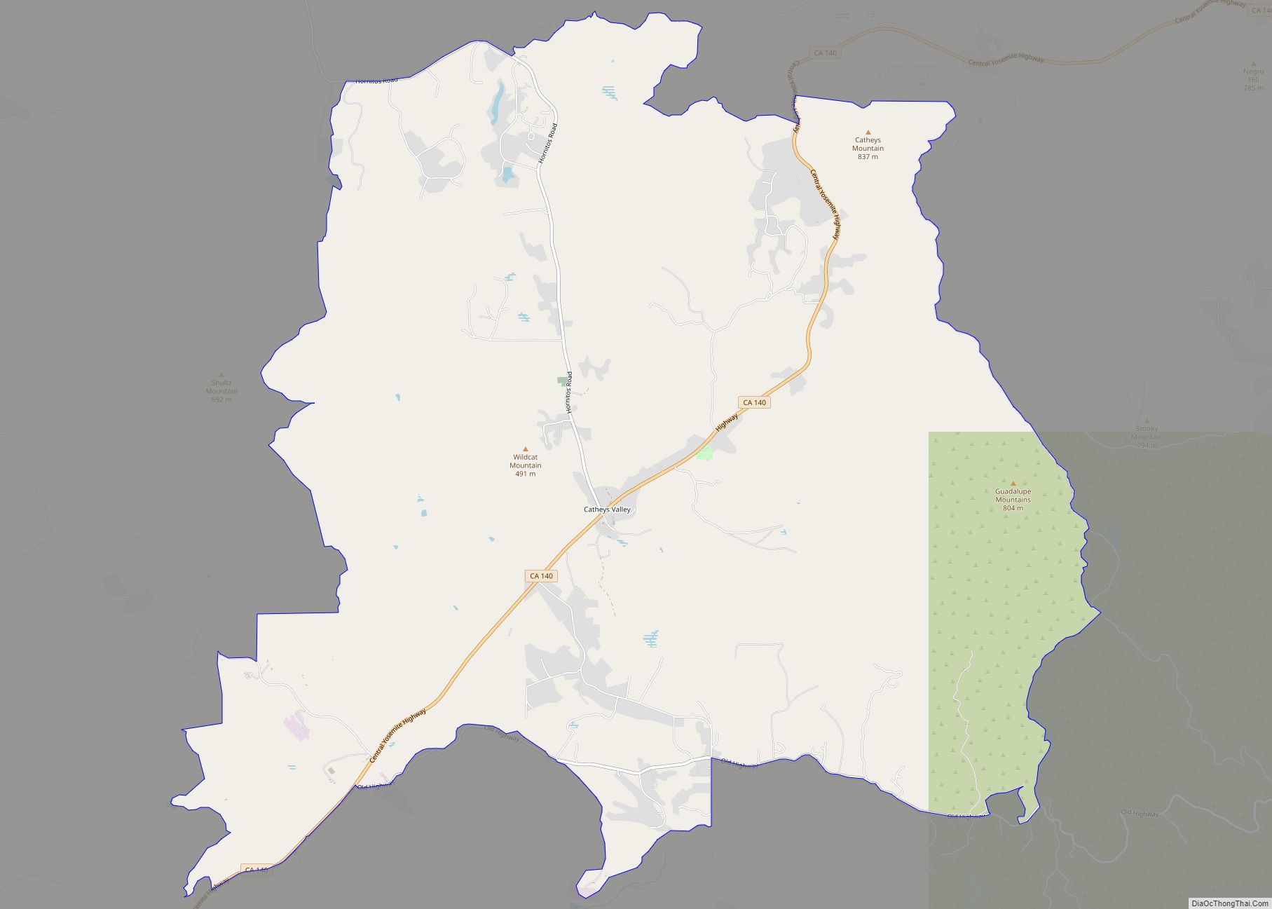
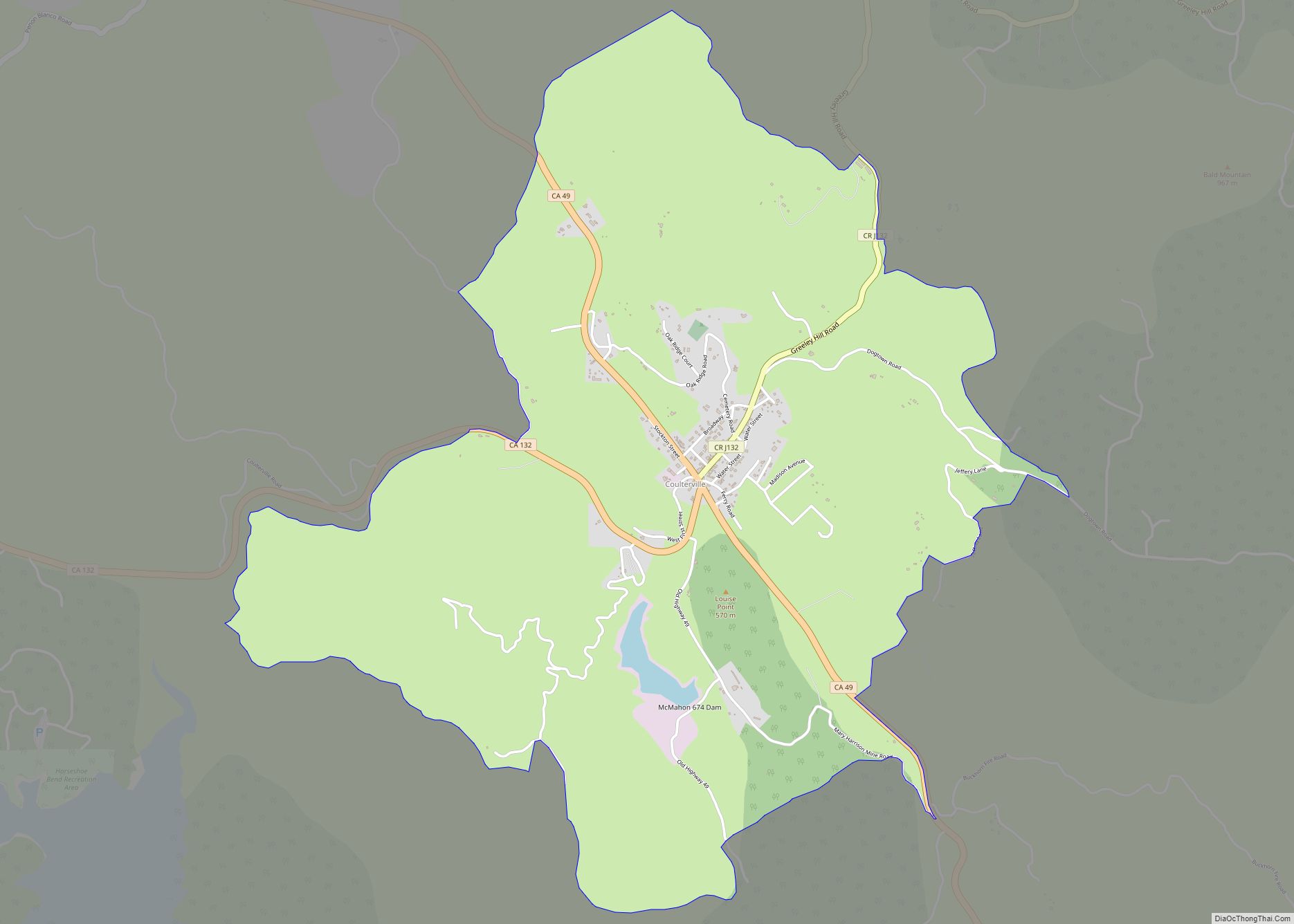
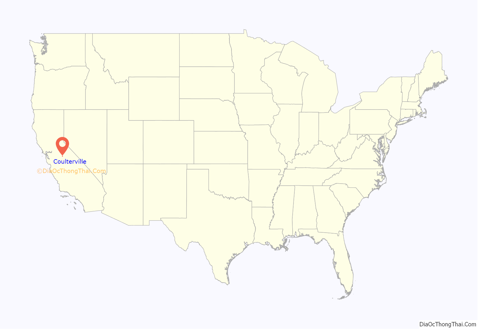
Coulterville location map. Where is Coulterville CDP?

History
The place was settled in 1850 by George W. Coulter, for whom it is also named. For a time Coulter lived in a tent flying the American flag, prompting local Mexicans to call the place Banderita (Spanish for “small flag”). The Maxwell’s Creek post office opened in 1852 and changed its name to Coulterville in 1853. The name “Maxwell” honors George Maxwell, with whom Coulter cast lots to determine the name of the town.
Coulterville is registered as California Historical Landmark #332. A large portion of the downtown was listed on the National Register of Historic Places as the Coulterville Main Street Historic District.
The 1867 Brevet General James F. Rusling inspection report notes that most of the Stockton to Coulterville area was “in almost continuous wheat-fields” May 24–26, 1866.
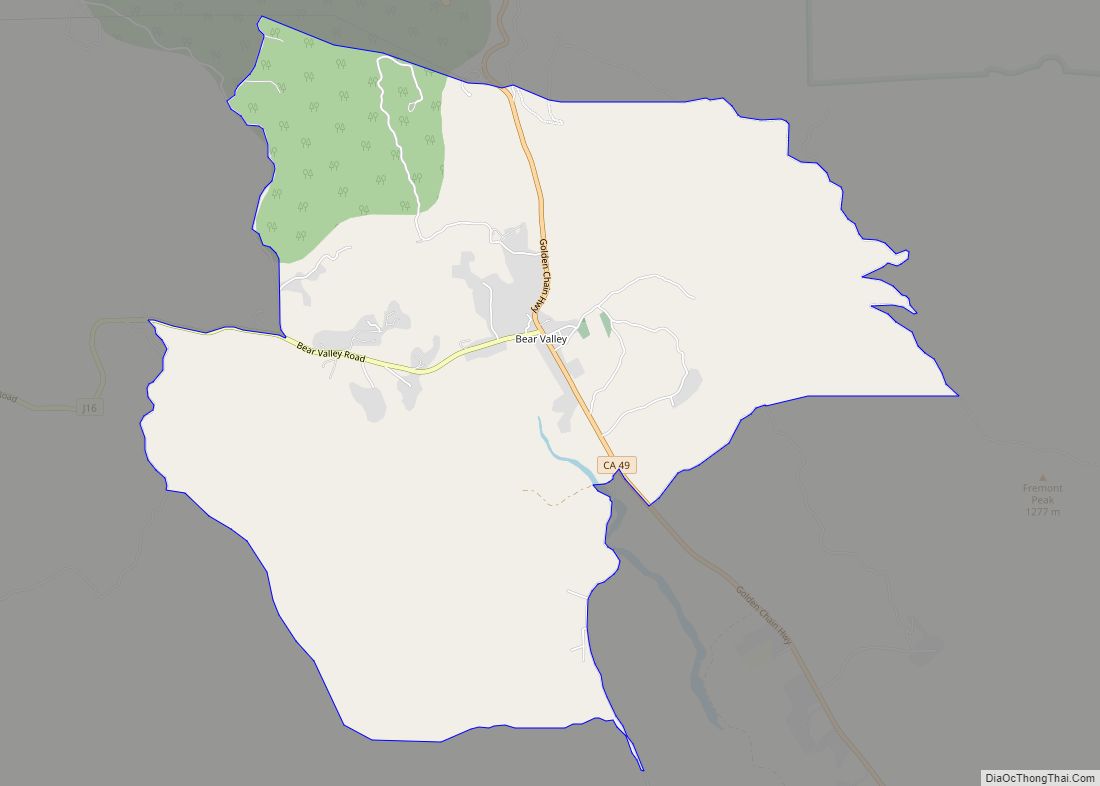
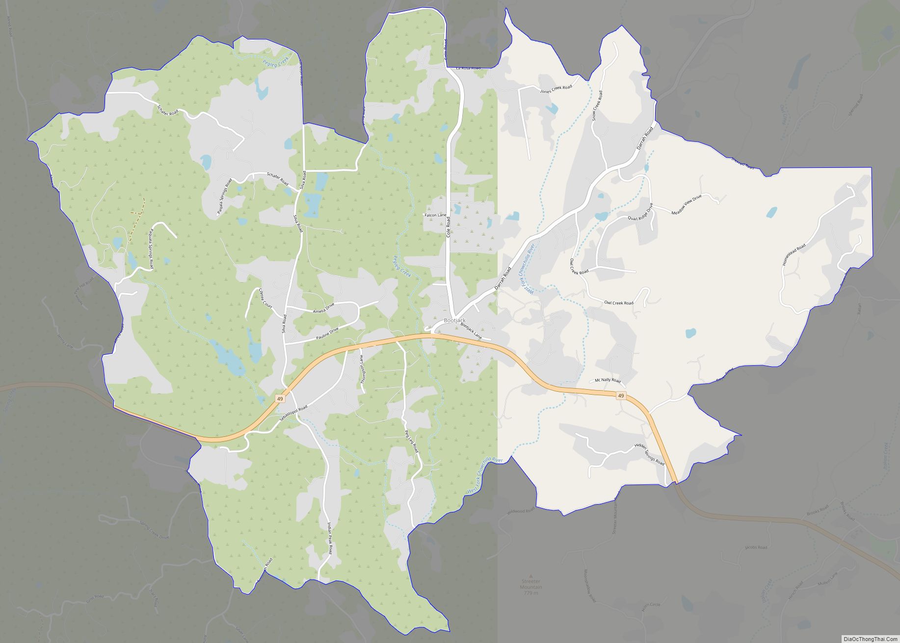
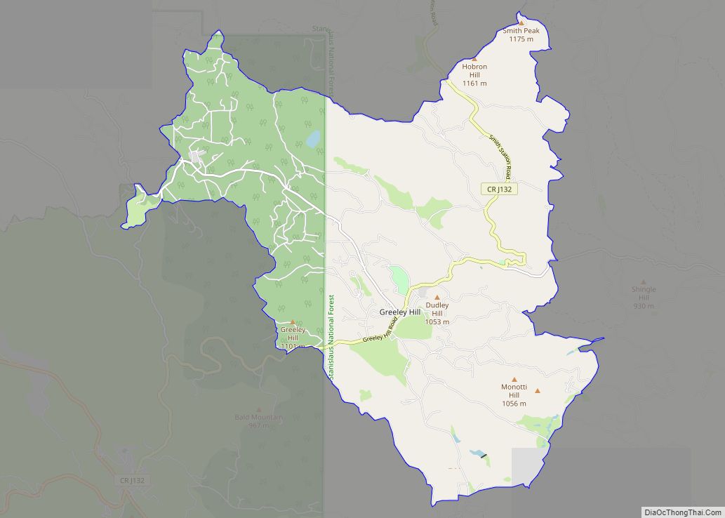
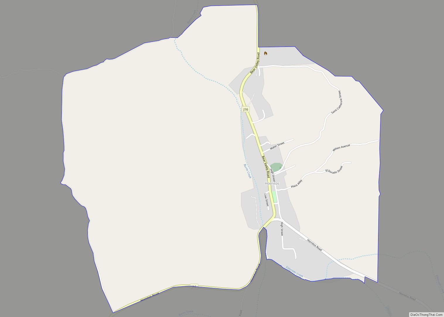
Coulterville Road Map
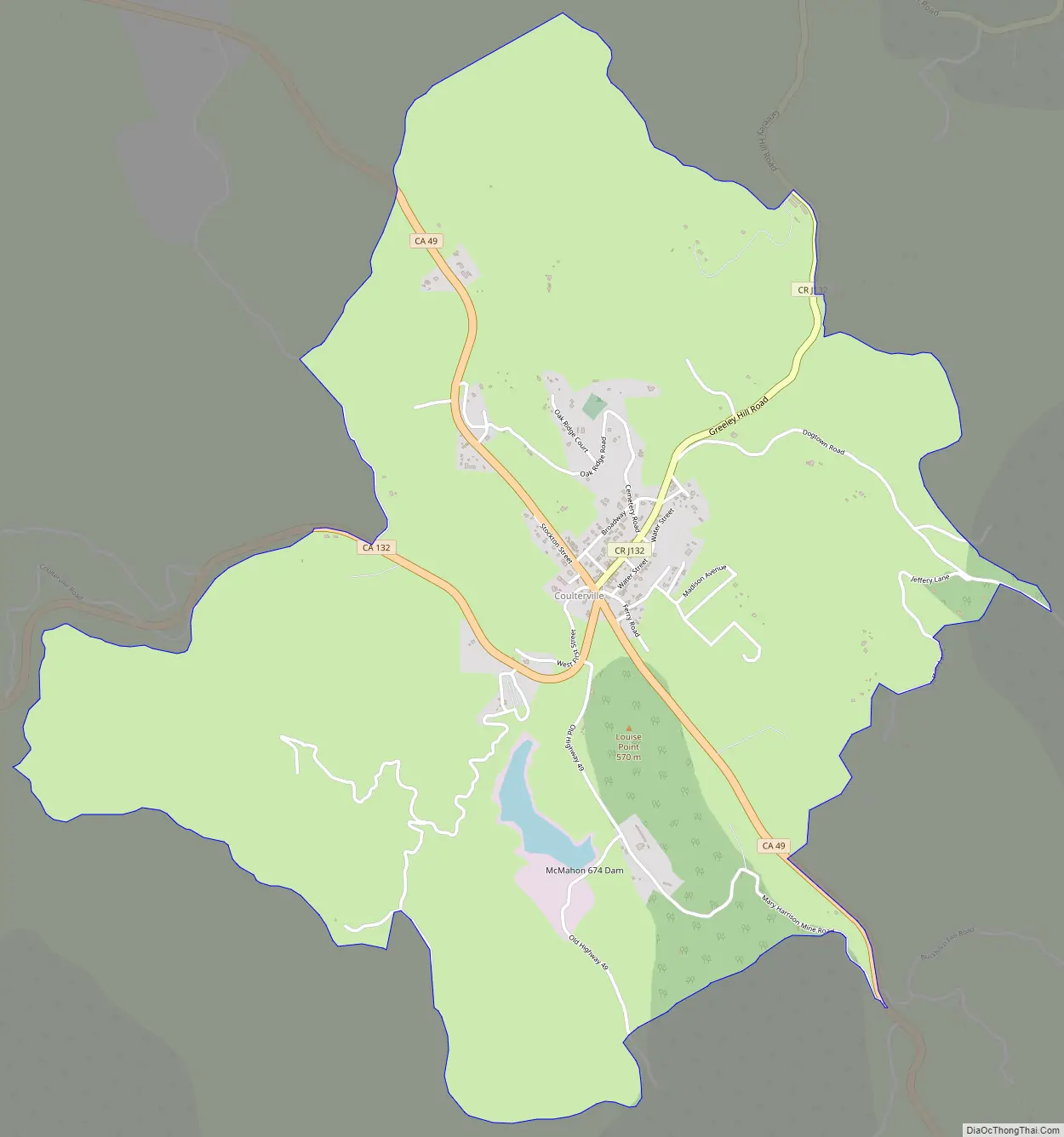
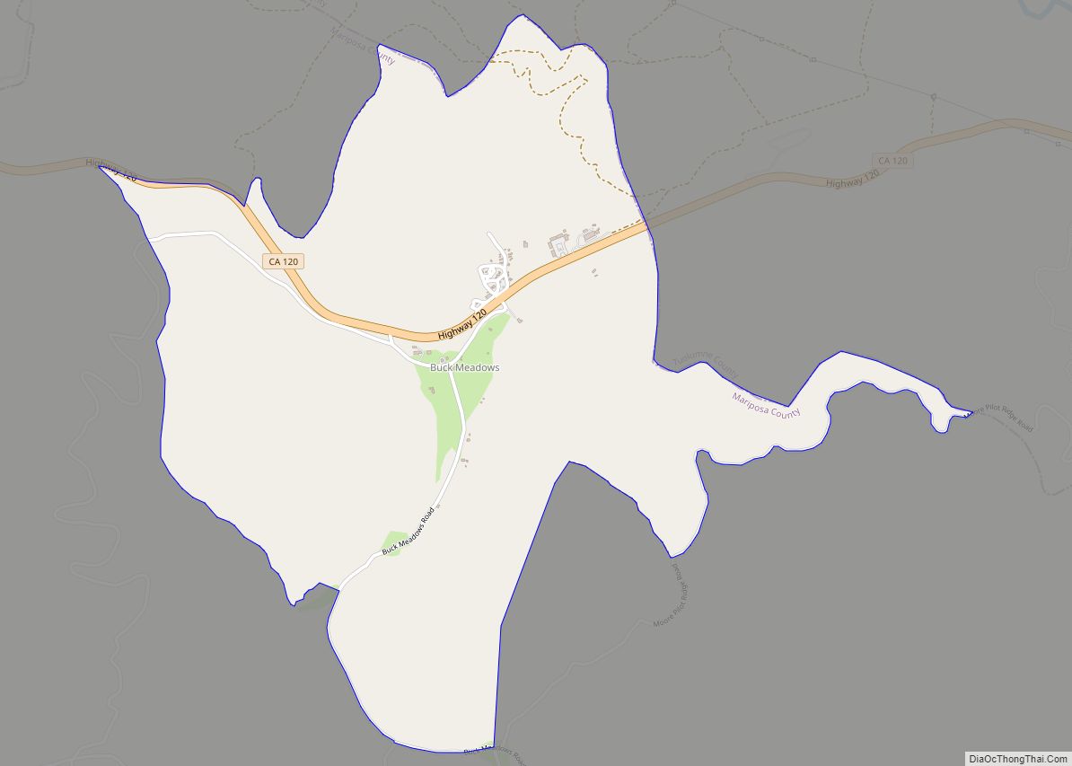
Coulterville city Satellite Map

Geography
According to the United States Census Bureau, the CDP covers an area of 0.39 square miles (1.0 km), down from 3.2 square miles (8.3 km) in 2010.
See also
Map of California State and its subdivision:- Alameda
- Alpine
- Amador
- Butte
- Calaveras
- Colusa
- Contra Costa
- Del Norte
- El Dorado
- Fresno
- Glenn
- Humboldt
- Imperial
- Inyo
- Kern
- Kings
- Lake
- Lassen
- Los Angeles
- Madera
- Marin
- Mariposa
- Mendocino
- Merced
- Modoc
- Mono
- Monterey
- Napa
- Nevada
- Orange
- Placer
- Plumas
- Riverside
- Sacramento
- San Benito
- San Bernardino
- San Diego
- San Francisco
- San Joaquin
- San Luis Obispo
- San Mateo
- Santa Barbara
- Santa Clara
- Santa Cruz
- Shasta
- Sierra
- Siskiyou
- Solano
- Sonoma
- Stanislaus
- Sutter
- Tehama
- Trinity
- Tulare
- Tuolumne
- Ventura
- Yolo
- Yuba
- Alabama
- Alaska
- Arizona
- Arkansas
- California
- Colorado
- Connecticut
- Delaware
- District of Columbia
- Florida
- Georgia
- Hawaii
- Idaho
- Illinois
- Indiana
- Iowa
- Kansas
- Kentucky
- Louisiana
- Maine
- Maryland
- Massachusetts
- Michigan
- Minnesota
- Mississippi
- Missouri
- Montana
- Nebraska
- Nevada
- New Hampshire
- New Jersey
- New Mexico
- New York
- North Carolina
- North Dakota
- Ohio
- Oklahoma
- Oregon
- Pennsylvania
- Rhode Island
- South Carolina
- South Dakota
- Tennessee
- Texas
- Utah
- Vermont
- Virginia
- Washington
- West Virginia
- Wisconsin
- Wyoming