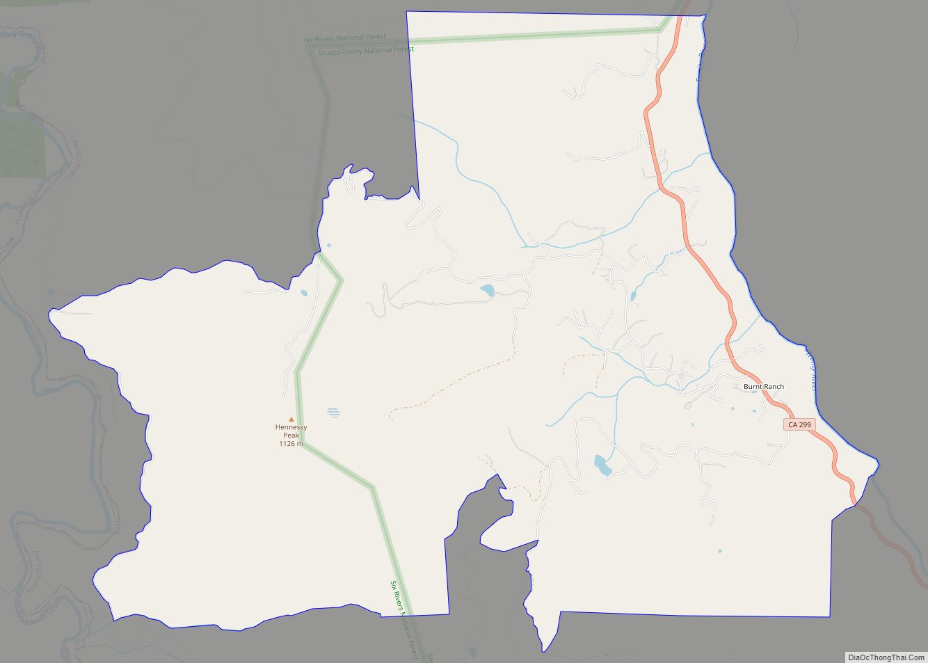
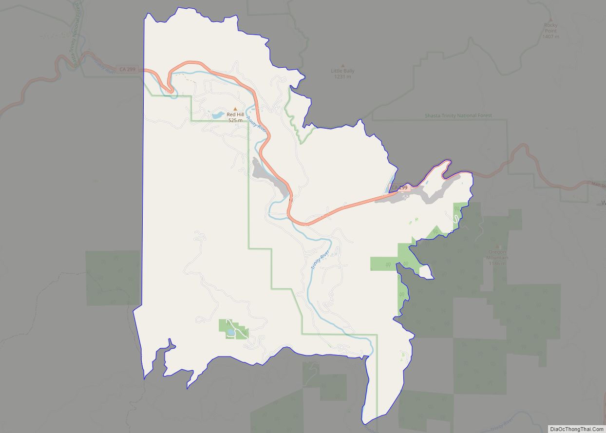
Burnt Ranch is a census-designated place (CDP) in Trinity County, California. It has a school and a post office. Its ZIP Code is 95527, and it is in area code 530. Its elevation is 1,502 feet (458 m). Its population is 250 as of the 2020 census, down from 281 from the 2010 census.
| Name: | Burnt Ranch CDP |
|---|---|
| LSAD Code: | 57 |
| LSAD Description: | CDP (suffix) |
| State: | California |
| County: | Trinity County |
| Elevation: | 1,502 ft (458 m) |
| Total Area: | 13.38 sq mi (34.66 km²) |
| Land Area: | 13.38 sq mi (34.66 km²) |
| Water Area: | 0.00 sq mi (0.00 km²) 0.01% |
| Total Population: | 250 |
| Population Density: | 19/sq mi (7.2/km²) |
| ZIP code: | 95527 |
| Area code: | 530 |
| FIPS code: | 0609150 |
| GNISfeature ID: | 2582954 |
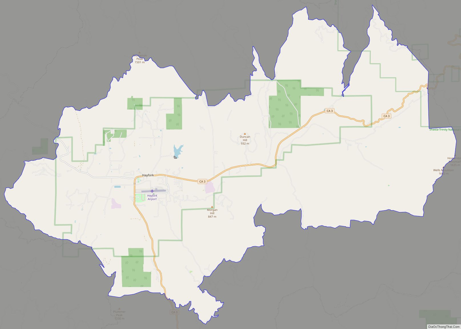
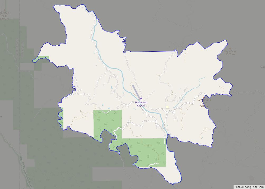
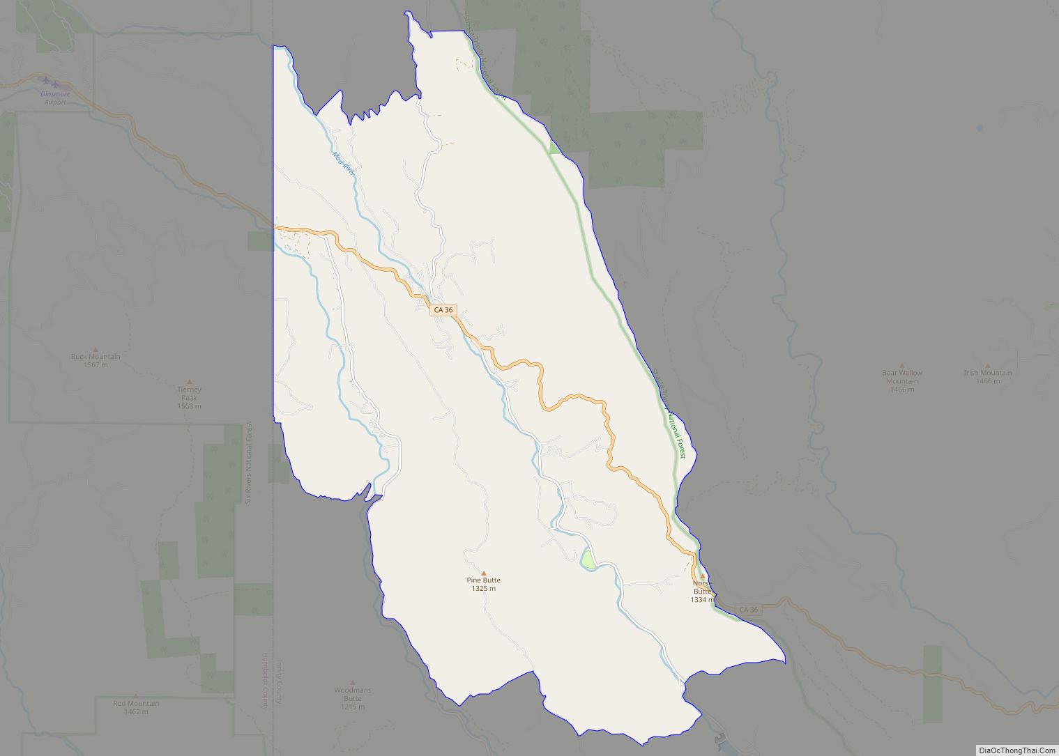
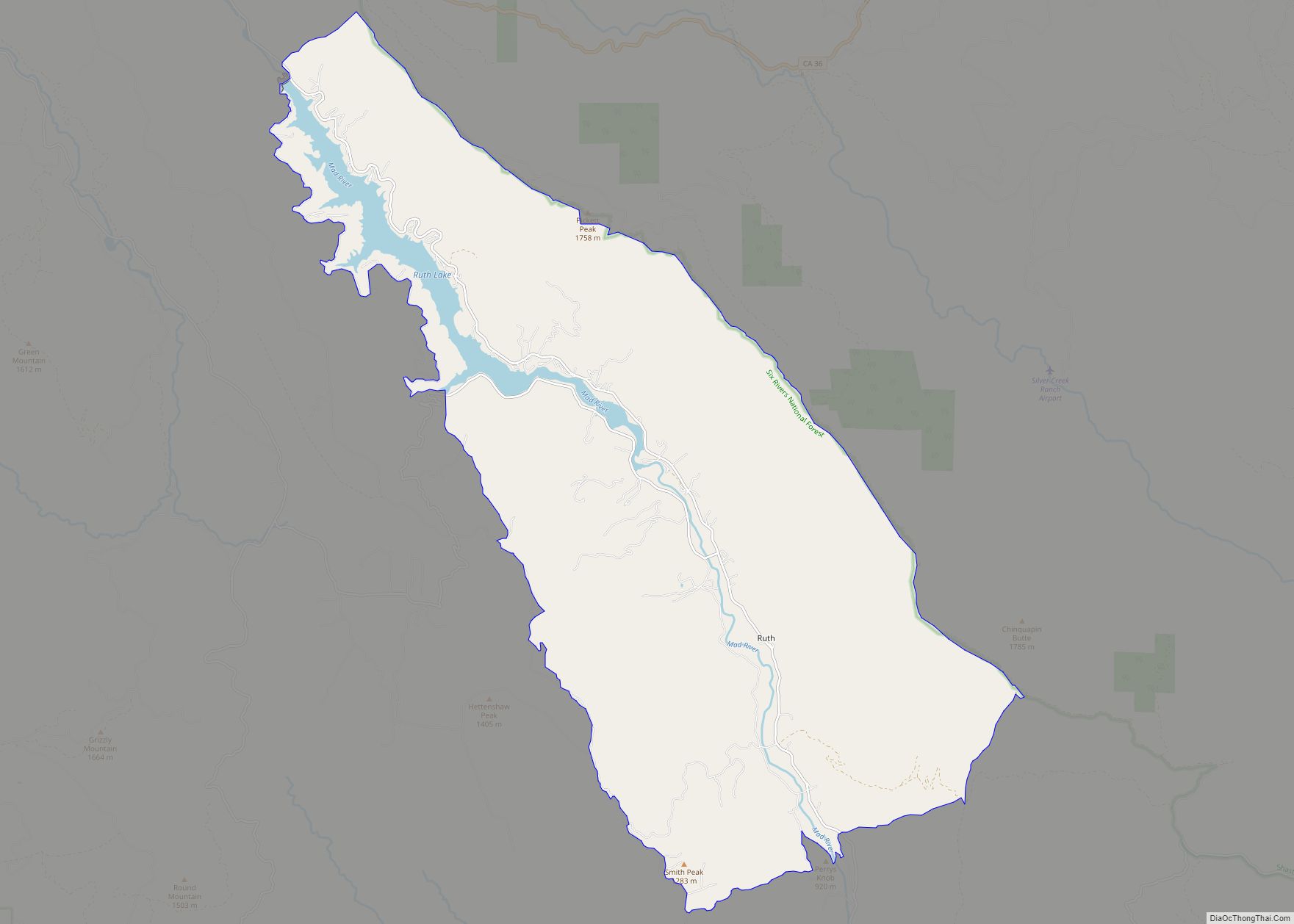
Online Interactive Map
Click on ![]() to view map in "full screen" mode.
to view map in "full screen" mode.
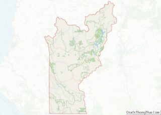
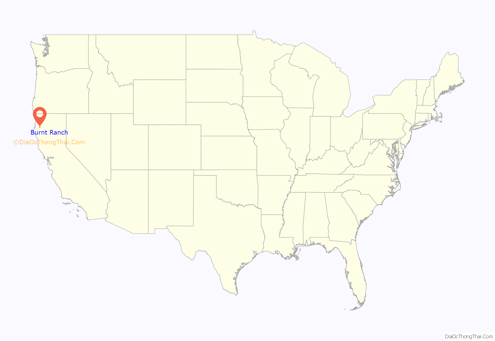
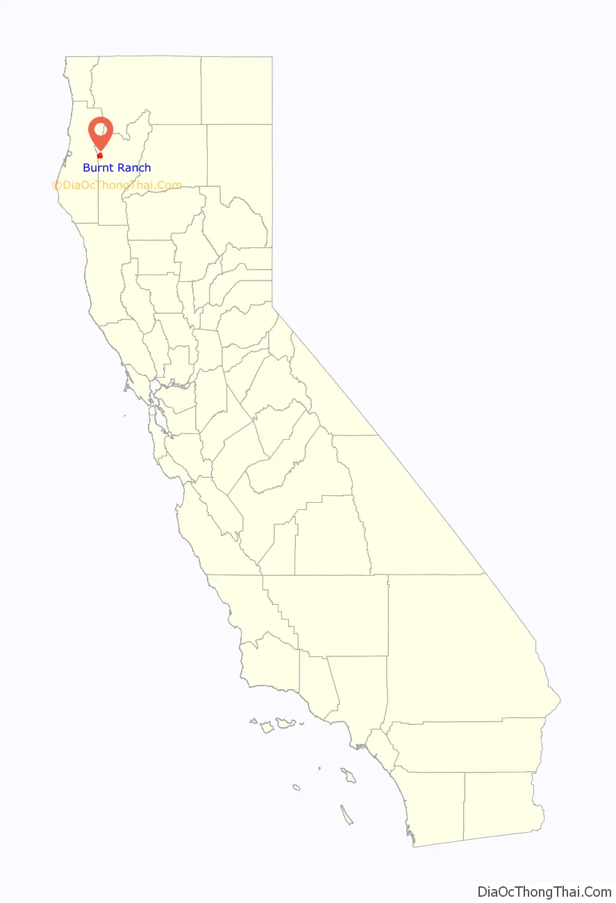
Burnt Ranch location map. Where is Burnt Ranch CDP?
History
In prehistoric times, the area was inhabited by people speaking a form of the Chimariko language, which was spoken along the Trinity River from the mouth of South Fork at Salyer as far upstream as Big Bar; their principal village was at present-day Burnt Ranch. Pre-contact, the Native American people of this area all spoke Chimariko as well as a dialect of the Hupa language. This is the Tsnungwe dialect of Hupa.
Burnt Ranch is so named because Canadian miners burned down an Indian rancheria here in 1849.
On 2 August 1858, J.W. Winslet’s party of 16 men from Burnt Ranch were ambushed by the Whilkut in the Bald Hills along a trail to the Hupa villages, killing one man and wounding Winslet; the party retreated to Pardee’s Ranch.
Burnt Ranch was destroyed in the spring of 1863 by an Indian raiding party.
Burnt Ranch became a temporary camp from May to November 1864, used by 1st Battalion California Volunteer Mountaineers while moving Indians to Fort Humboldt.
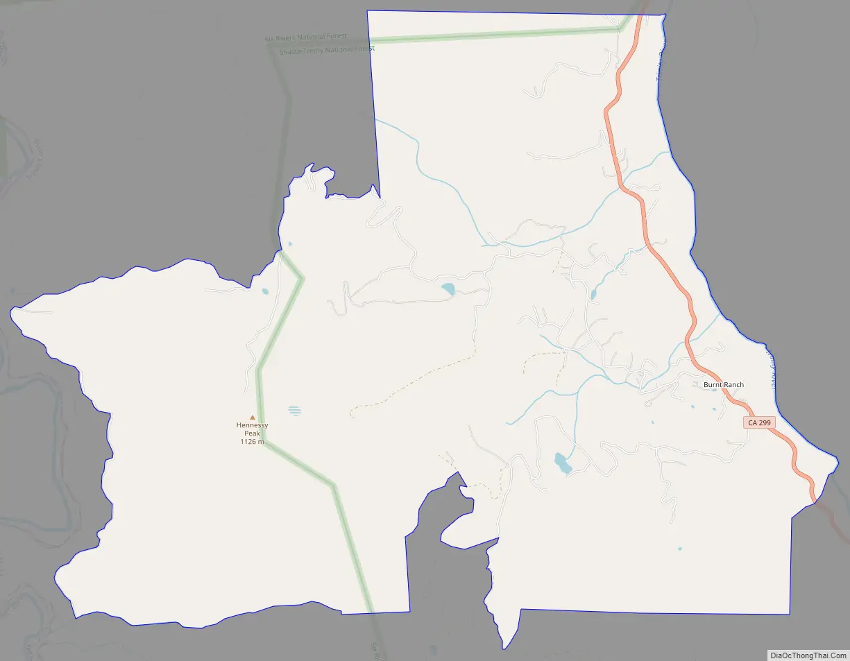
Burnt Ranch Road Map
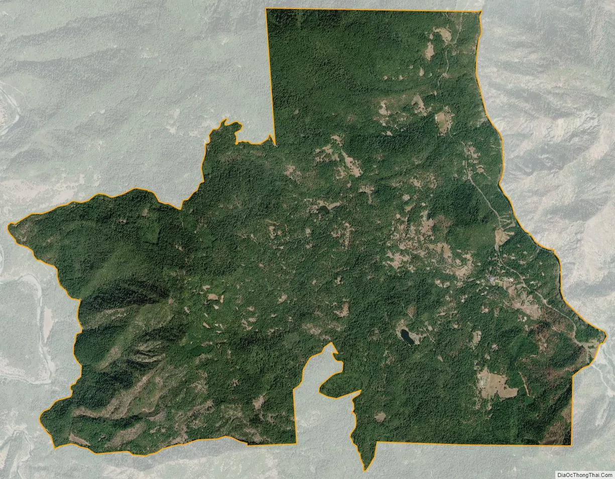
Burnt Ranch city Satellite Map
Geography
According to the United States Census Bureau, the CDP covers an area of 13.4 square miles (35 km), 99.99% of it land and 0.01% of it water. The town is 15.7 miles southeast of Willow Creek on State Route 299.
Climate
This region experiences hot and dry summers. According to the Köppen Climate Classification system, Burnt Ranch has a warm-summer Mediterranean climate, abbreviated “Csb” on climate maps.
See also
Map of California State and its subdivision:- Alameda
- Alpine
- Amador
- Butte
- Calaveras
- Colusa
- Contra Costa
- Del Norte
- El Dorado
- Fresno
- Glenn
- Humboldt
- Imperial
- Inyo
- Kern
- Kings
- Lake
- Lassen
- Los Angeles
- Madera
- Marin
- Mariposa
- Mendocino
- Merced
- Modoc
- Mono
- Monterey
- Napa
- Nevada
- Orange
- Placer
- Plumas
- Riverside
- Sacramento
- San Benito
- San Bernardino
- San Diego
- San Francisco
- San Joaquin
- San Luis Obispo
- San Mateo
- Santa Barbara
- Santa Clara
- Santa Cruz
- Shasta
- Sierra
- Siskiyou
- Solano
- Sonoma
- Stanislaus
- Sutter
- Tehama
- Trinity
- Tulare
- Tuolumne
- Ventura
- Yolo
- Yuba
- Alabama
- Alaska
- Arizona
- Arkansas
- California
- Colorado
- Connecticut
- Delaware
- District of Columbia
- Florida
- Georgia
- Hawaii
- Idaho
- Illinois
- Indiana
- Iowa
- Kansas
- Kentucky
- Louisiana
- Maine
- Maryland
- Massachusetts
- Michigan
- Minnesota
- Mississippi
- Missouri
- Montana
- Nebraska
- Nevada
- New Hampshire
- New Jersey
- New Mexico
- New York
- North Carolina
- North Dakota
- Ohio
- Oklahoma
- Oregon
- Pennsylvania
- Rhode Island
- South Carolina
- South Dakota
- Tennessee
- Texas
- Utah
- Vermont
- Virginia
- Washington
- West Virginia
- Wisconsin
- Wyoming