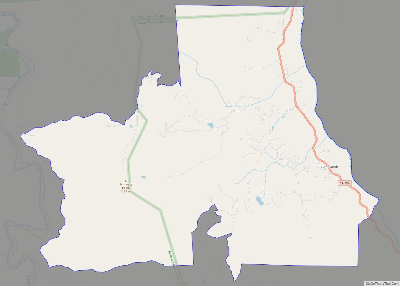
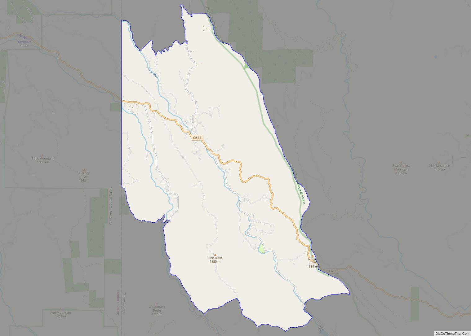
Mad River (formerly Kuntz) is a census-designated place (CDP) in Trinity County, California. Mad River is located in the southern part of the county. Mad River sits at an elevation of 2,484 feet (757 m). The ZIP Code is 95552. Its population is 361 as of the 2020 census, down from 420 from the 2010 census.
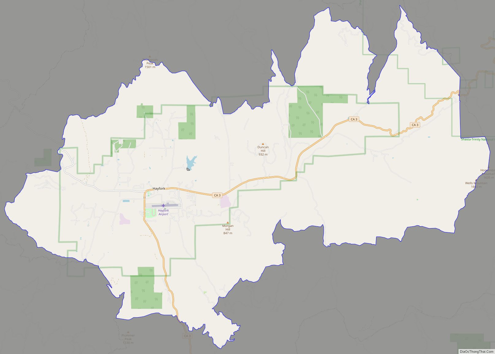
Mad River has the last services on California State Route 36 until the Platina Store, 44 miles (71 km) away. Until it closed, the next services were the Wildwood Store, 5 miles (8.0 km) west of Platina. Its post office serves itself and the communities of Dinsmore (Humboldt County), and Van Duzen; both using 95552 as their ZIP code. Ruth residents with Post Office Boxes at the Ruth Store share the 95526 zip code with Bridgeville. Starting in the Spring of 2014, Ruth residents with mail boxes on the Mad River Road are now part of the Mad River zip code and use the city designation of Mad River, CA 95552. Mad River is home to Southern Trinity High School, the region’s only high school, with an enrollment of 45 students. It is also home to Van Duzen Elementary School.
| Name: | Mad River CDP |
|---|---|
| LSAD Code: | 57 |
| LSAD Description: | CDP (suffix) |
| State: | California |
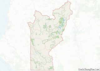
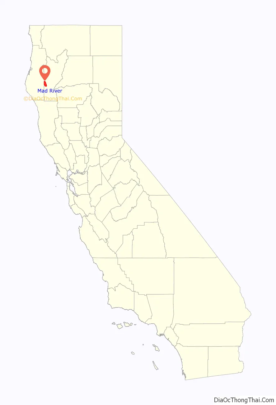
| County: | Trinity County |
| Elevation: | 2,484 ft (757 m) |
| Total Area: | 34.653 sq mi (89.750 km²) |
| Land Area: | 34.653 sq mi (89.750 km²) |
| Water Area: | 0 sq mi (0 km²) 0% |
| Total Population: | 361 |
| Population Density: | 10/sq mi (4.0/km²) |
| ZIP code: | 95552 |
| Area code: | 707 |
| FIPS code: | 0645092 |
| GNISfeature ID: | 2583071 |
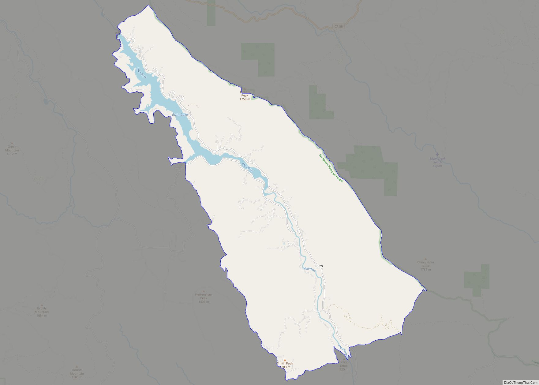
Online Interactive Map
Click on ![]() to view map in "full screen" mode.
to view map in "full screen" mode.
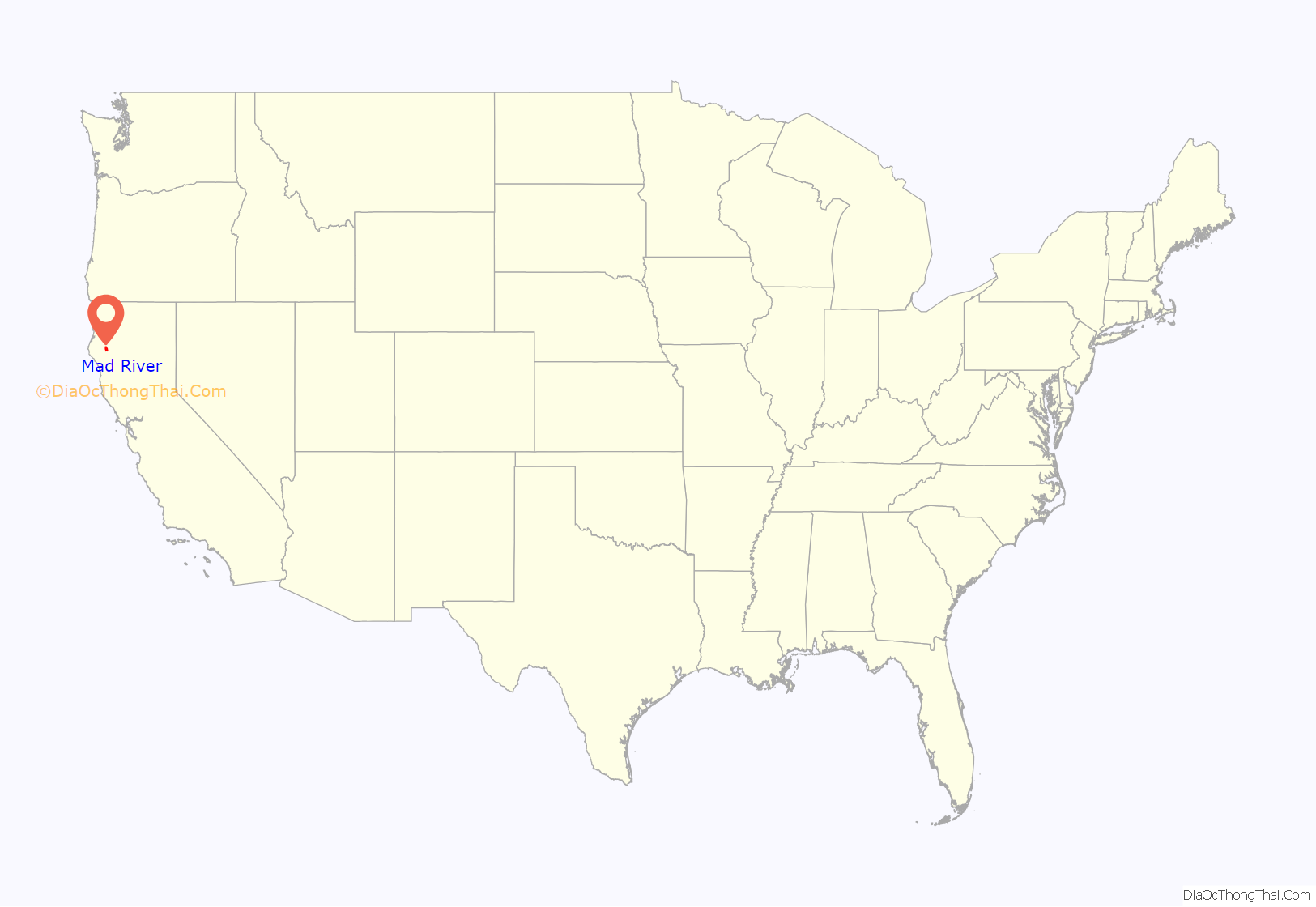
Mad River location map. Where is Mad River CDP?
History
The stream was named in December 1849 by the Gregg Party. Myth has it that the leader of the party, in apparent anger with fellow companions over latitude positioning, coined the term when comparing the experience of the difficult exchange between his peers.
At the 2000 census, Mad River constituted a census county division (CCD). The population was 838 at the 2000 census. Most of the former CCD is covered by the Six Rivers National Forest and the Shasta-Trinity National Forest. Mad River itself is near the western extent of Ruth Lake, the major water reservoir for the populated area around Humboldt Bay within Humboldt County located to the northwest.
Communities within the former CCD
Most of the communities that encompass the former Mad River CCD are off main highways and at least 100 miles (160 km) from a major city. The area code for most of the region is 707, because phone service comes from larger communities in Humboldt County, such as Bridgeville or Garberville.
- Mad River
- Ruth is a census-designated place 18 miles (29 km) south of State Highway 36. It is home to Ruth Lake, a long narrow lake primarily used to control flow of water in the Mad River to supply the Humboldt Bay area with drinking water and water for industrial activities. The lake is also used for recreation, irrigation, and hydroelectric power. It has two stores and gas stations and a church.
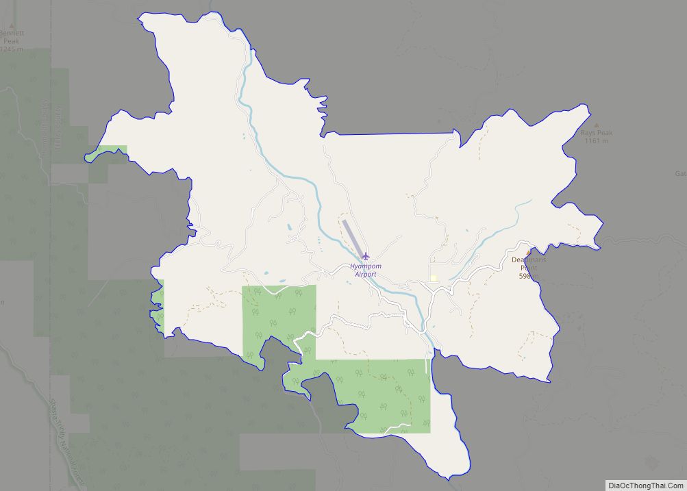
- Forest Glen is a community along State Highway 36, 23 miles (37 km) southwest of Hayfork. It has a U.S. Forest Service Fire station, and a store that is now closed. Mail and telephone service is from Hayfork. Its former ZIP code is 96030.
Creeks, lakes, rivers, and streams
- Watts Lake (small pond)
- Ruth Lake
- Horse Ranch Lake (small pond)
- Mud Lake (small pond)
- Antone Lake (pond)
- Minnie Lake (pond)
- Henthorne Lake (pond)
- Turtle Lake (pond)
- Lily Lake (pond)
- Yew Wood Creek
- Anada Creek
- Alder Basin Creek
- Lamb Creek
- Littlefield Creek
- Barry Creek
- Minnie Creek
- North Fork/Middle Fork Eel River
- North Fork Mud River
- Maynard Creek
- Olsen Creek
- South Fork Trinity River
Geography
According to the United States Census Bureau, the CCD has a total area of 155.6 square miles (830.8 km) all land.
Demographics
As of the census of 2000, there were 838 people and 433 families residing in the CCD. The population density was 0.4/km (1/mi). The racial makeup of the CCD was 86.8% White, 0% African American, 0% Native American, 0% Asian, 8.9% from other races, and 4.3% from two or more races. Hispanic or Latino of any race were 2.1% of the population.
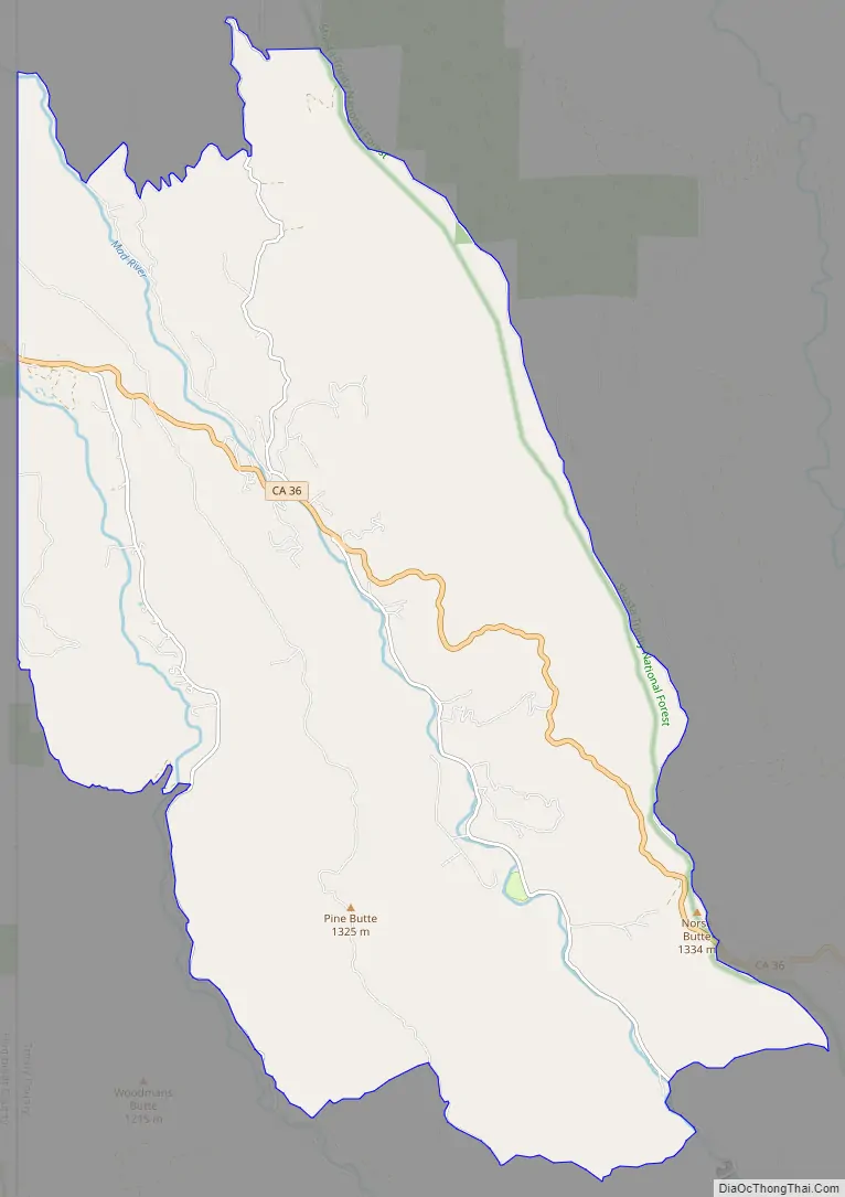
Mad River Road Map
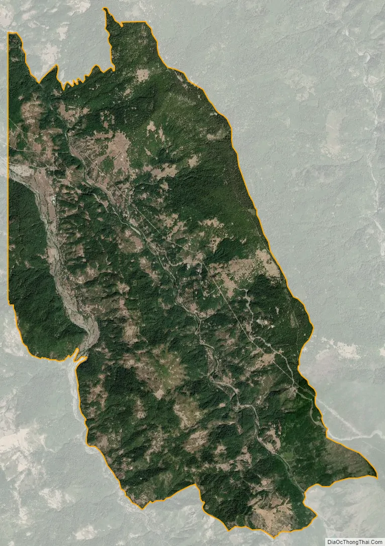
Mad River city Satellite Map
Geography
According to the United States Census Bureau, the CDP covers an area of 34.65 square miles (89.75 km), all of it land.
Climate
This area experiences hot summers and mild winters. According to the Köppen Climate Classification system, Mad River has a warm-summer Mediterranean climate, abbreviated “Csb” on climate maps.
See also
Map of California State and its subdivision:- Alameda
- Alpine
- Amador
- Butte
- Calaveras
- Colusa
- Contra Costa
- Del Norte
- El Dorado
- Fresno
- Glenn
- Humboldt
- Imperial
- Inyo
- Kern
- Kings
- Lake
- Lassen
- Los Angeles
- Madera
- Marin
- Mariposa
- Mendocino
- Merced
- Modoc
- Mono
- Monterey
- Napa
- Nevada
- Orange
- Placer
- Plumas
- Riverside
- Sacramento
- San Benito
- San Bernardino
- San Diego
- San Francisco
- San Joaquin
- San Luis Obispo
- San Mateo
- Santa Barbara
- Santa Clara
- Santa Cruz
- Shasta
- Sierra
- Siskiyou
- Solano
- Sonoma
- Stanislaus
- Sutter
- Tehama
- Trinity
- Tulare
- Tuolumne
- Ventura
- Yolo
- Yuba
- Alabama
- Alaska
- Arizona
- Arkansas
- California
- Colorado
- Connecticut
- Delaware
- District of Columbia
- Florida
- Georgia
- Hawaii
- Idaho
- Illinois
- Indiana
- Iowa
- Kansas
- Kentucky
- Louisiana
- Maine
- Maryland
- Massachusetts
- Michigan
- Minnesota
- Mississippi
- Missouri
- Montana
- Nebraska
- Nevada
- New Hampshire
- New Jersey
- New Mexico
- New York
- North Carolina
- North Dakota
- Ohio
- Oklahoma
- Oregon
- Pennsylvania
- Rhode Island
- South Carolina
- South Dakota
- Tennessee
- Texas
- Utah
- Vermont
- Virginia
- Washington
- West Virginia
- Wisconsin
- Wyoming