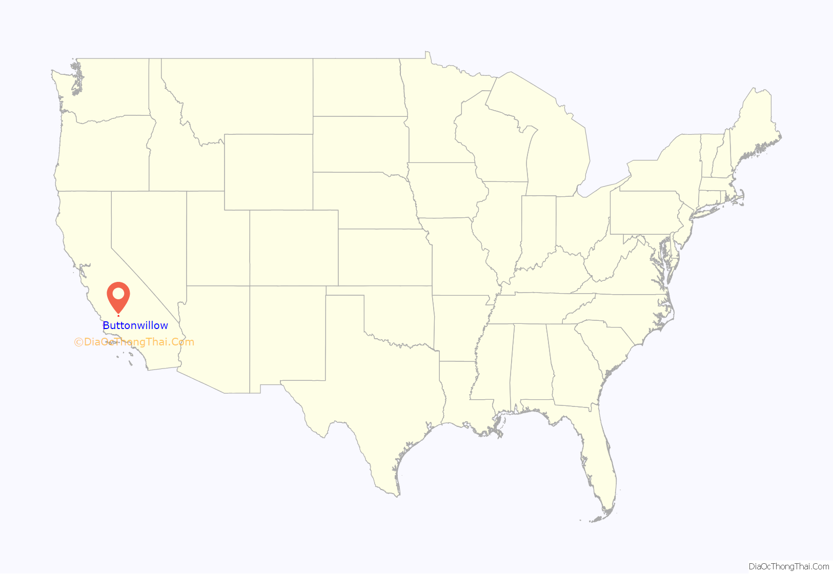
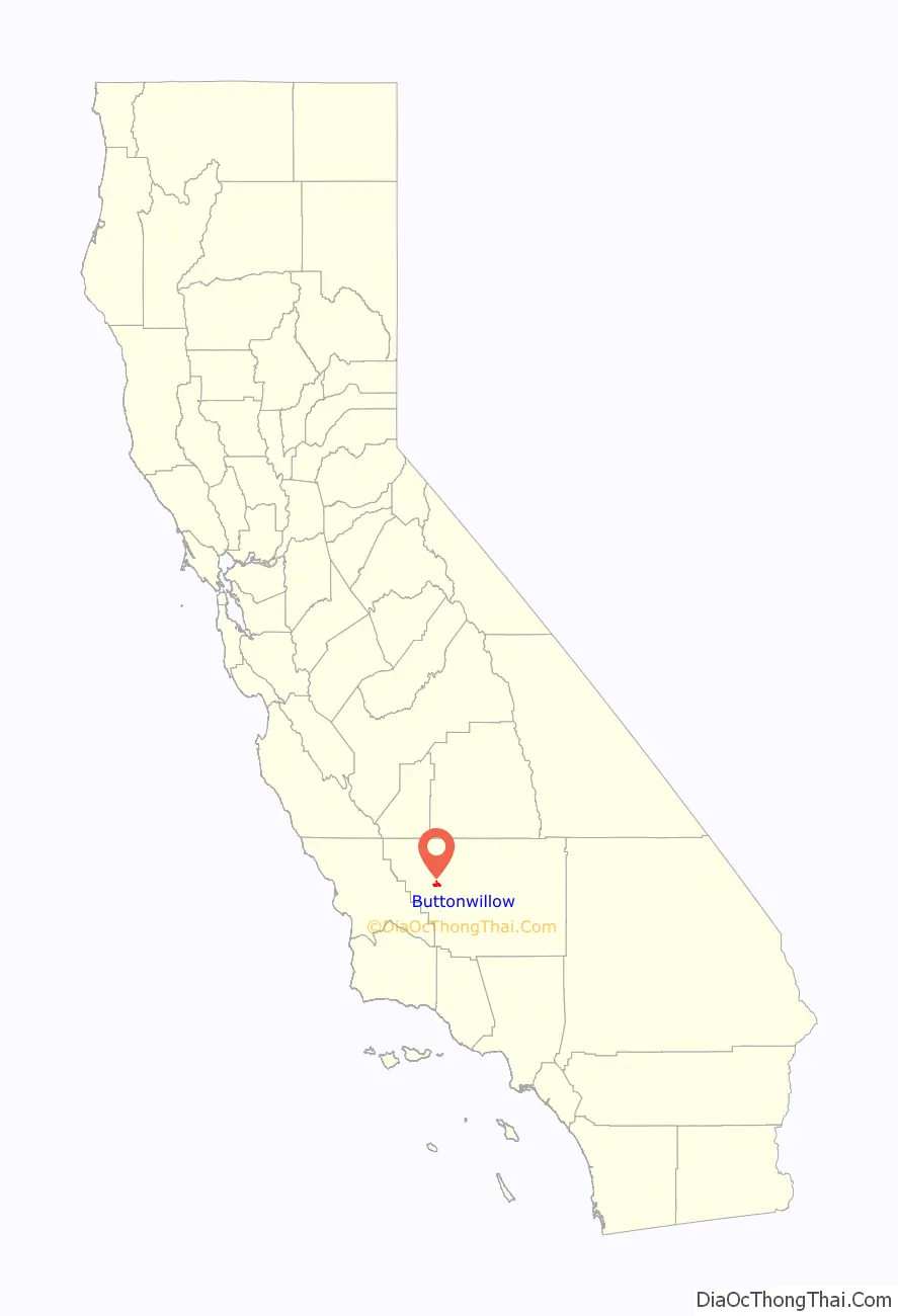
Buttonwillow is an unincorporated community and census-designated place in the San Joaquin Valley, in Kern County, California. Buttonwillow is 26 miles (42 km) west of Bakersfield, at an elevation of 269 feet (82 m)). The population was 1,508 at the 2010 census, up from 1,266 at the 2000 census. The center of population of California is located in Buttonwillow.
| Name: | Buttonwillow CDP |
|---|---|
| LSAD Code: | 57 |
| LSAD Description: | CDP (suffix) |
| State: | California |
| County: | Kern County |
| Elevation: | 269 ft (82 m) |
| Total Area: | 6.93 sq mi (17.94 km²) |
| Land Area: | 6.93 sq mi (17.94 km²) |
| Water Area: | 0.00 sq mi (0.00 km²) 0% |
| Total Population: | 1,337 |
| Population Density: | 193.01/sq mi (74.52/km²) |
| ZIP code: | 93206 |
| Area code: | 661 |
| FIPS code: | 0609332 |
| GNISfeature ID: | 1652678 |
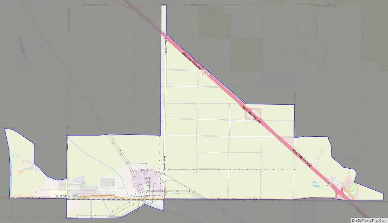
Online Interactive Map
Click on ![]() to view map in "full screen" mode.
to view map in "full screen" mode.
Buttonwillow location map. Where is Buttonwillow CDP?
History
The town was originally called Buena Vista when it was founded in 1895, but the name quickly became Buttonwillow.
Buttonwillow was named for the buttonbush (Cephalanthus occidentalis). A lone buttonbush served as a landmark on an old trans-valley trail and was used by ancient Yokuts Indian as a meeting place, later becoming the site of settlers’ stock rodeos. The Miller & Lux holdings company eventually established a headquarters and store near the tree. This tree is listed as California Historical Landmark No. 492. This landmark is now known as the Buttonwillow Tree. California Historical Landmark reads:
The first United States Post Office at Buttonwillow was established in 1895.
Buttonwillow Road Map
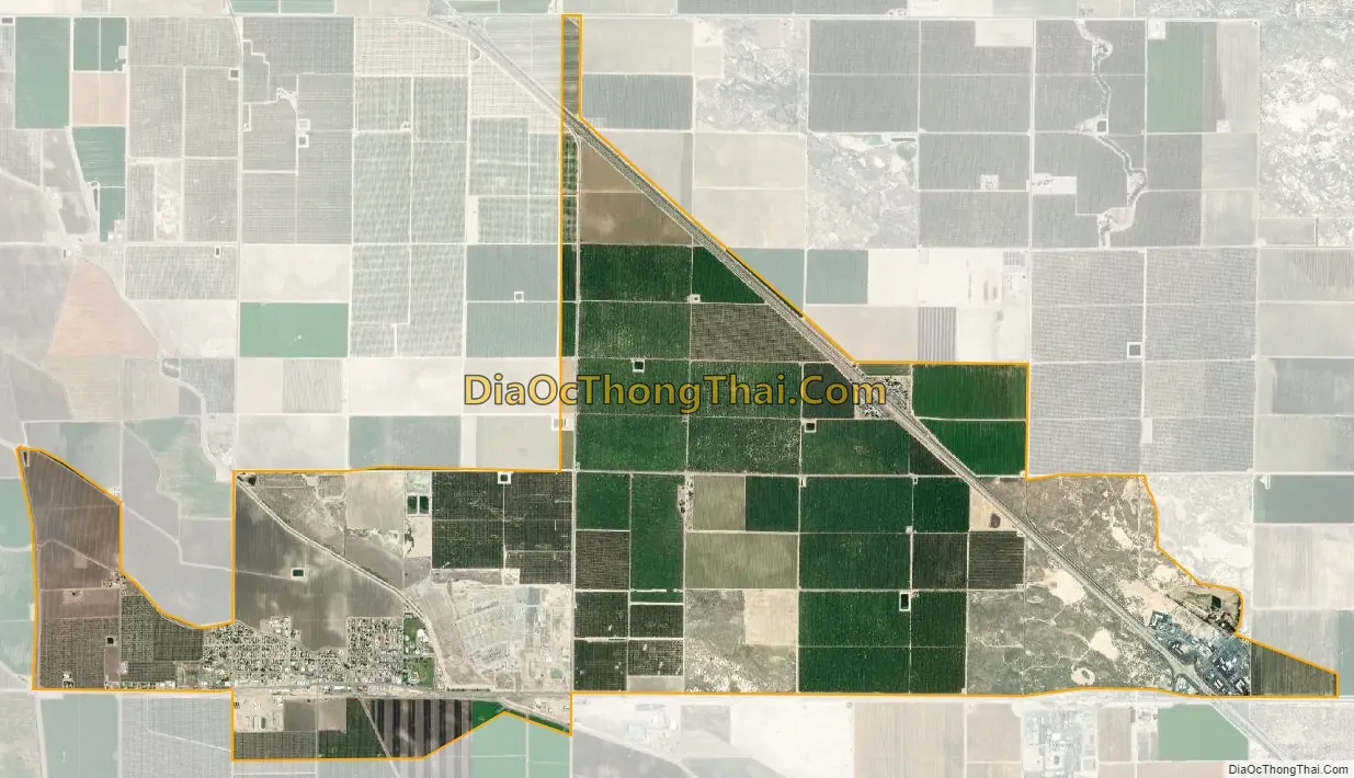
Buttonwillow city Satellite Map
Geography
According to the United States Census Bureau, Buttonwillow has an area of 6.9 square miles (18 km), all of it land. Buttonwillow is also locally known as the cotton country, due to the abundant planting of cotton in the vicinity.
Beginning about four miles (6.4 km) south of town along Elk Hills Road, between Buttonwillow and Taft, is the enormous Elk Hills Oil Field, formerly the Naval Petroleum Reserve No. 1, which figured prominently in the Teapot Dome scandal that tarnished the administration of President Warren G. Harding. Occidental Petroleum bought the reserve from the U.S. Department of Energy in 1998, and is the current primary operator of the oil field.
See also
Map of California State and its subdivision:- Alameda
- Alpine
- Amador
- Butte
- Calaveras
- Colusa
- Contra Costa
- Del Norte
- El Dorado
- Fresno
- Glenn
- Humboldt
- Imperial
- Inyo
- Kern
- Kings
- Lake
- Lassen
- Los Angeles
- Madera
- Marin
- Mariposa
- Mendocino
- Merced
- Modoc
- Mono
- Monterey
- Napa
- Nevada
- Orange
- Placer
- Plumas
- Riverside
- Sacramento
- San Benito
- San Bernardino
- San Diego
- San Francisco
- San Joaquin
- San Luis Obispo
- San Mateo
- Santa Barbara
- Santa Clara
- Santa Cruz
- Shasta
- Sierra
- Siskiyou
- Solano
- Sonoma
- Stanislaus
- Sutter
- Tehama
- Trinity
- Tulare
- Tuolumne
- Ventura
- Yolo
- Yuba
- Alabama
- Alaska
- Arizona
- Arkansas
- California
- Colorado
- Connecticut
- Delaware
- District of Columbia
- Florida
- Georgia
- Hawaii
- Idaho
- Illinois
- Indiana
- Iowa
- Kansas
- Kentucky
- Louisiana
- Maine
- Maryland
- Massachusetts
- Michigan
- Minnesota
- Mississippi
- Missouri
- Montana
- Nebraska
- Nevada
- New Hampshire
- New Jersey
- New Mexico
- New York
- North Carolina
- North Dakota
- Ohio
- Oklahoma
- Oregon
- Pennsylvania
- Rhode Island
- South Carolina
- South Dakota
- Tennessee
- Texas
- Utah
- Vermont
- Virginia
- Washington
- West Virginia
- Wisconsin
- Wyoming


