California Hot Springs is a census-designated place in Tulare County, California, United States. California Hot Springs is 20 miles (32 km) east of Ducor. California Hot Springs has a post office with ZIP code 93207. The population was 50 at the 2020 census, up from 37 at the 2010 census.
| Name: | California Hot Springs CDP |
|---|---|
| LSAD Code: | 57 |
| LSAD Description: | CDP (suffix) |
| State: | California |
| County: | Tulare County |
| Elevation: | 3,081 ft (939 m) |
| Total Area: | 0.90 sq mi (2.33 km²) |
| Land Area: | 0.90 sq mi (2.33 km²) |
| Water Area: | 0.00 sq mi (0.00 km²) 0% |
| Total Population: | 50 |
| Population Density: | 55.43/sq mi (21.41/km²) |
| ZIP code: | 93207 |
| Area code: | 559 |
| FIPS code: | 0609822 |
Online Interactive Map
Click on ![]() to view map in "full screen" mode.
to view map in "full screen" mode.
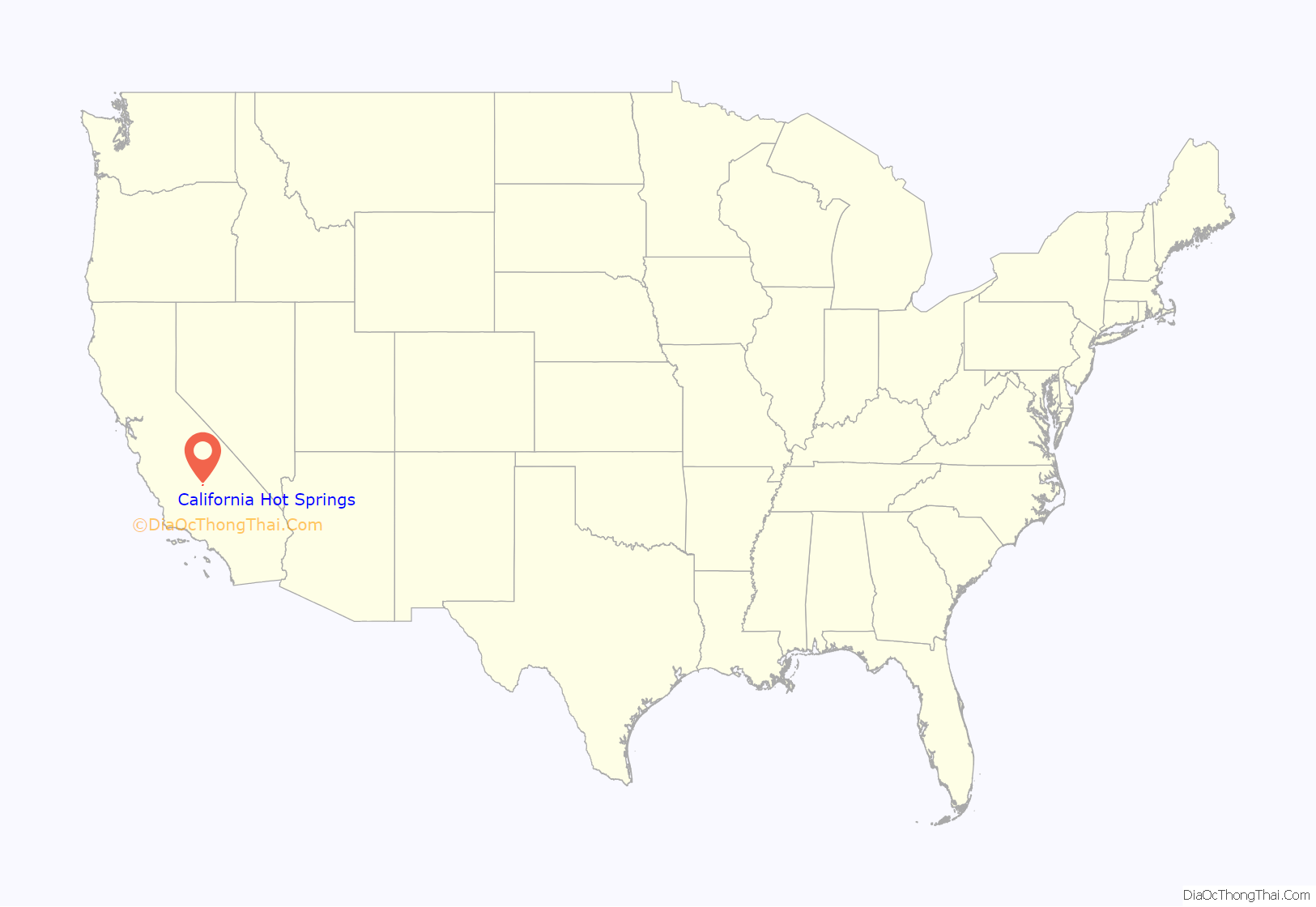
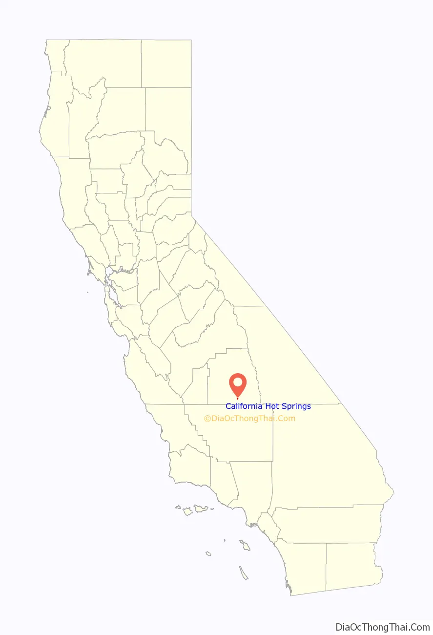
California Hot Springs location map. Where is California Hot Springs CDP?
History
The hot springs for which the town is named were renowned by native Yokuts Indians for their supposed curative properties. Resorts have existed in the area, formerly known as Deer Creek Hot Springs, since the 1880s. The large Hotel Del Venado was built near the hot springs in 1902. A commercial center, swimming pool and therapeutic center were added in the 1920s. The hotel burnt down in 1932, as did the commercial center in 1968. The facility remained abandoned until restorations were undertaken in the mid-1980s.
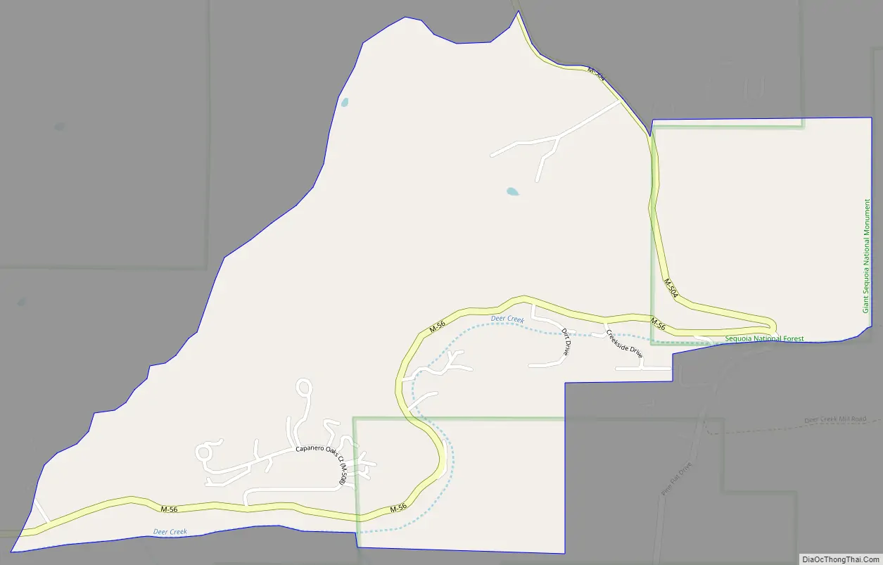
California Hot Springs Road Map
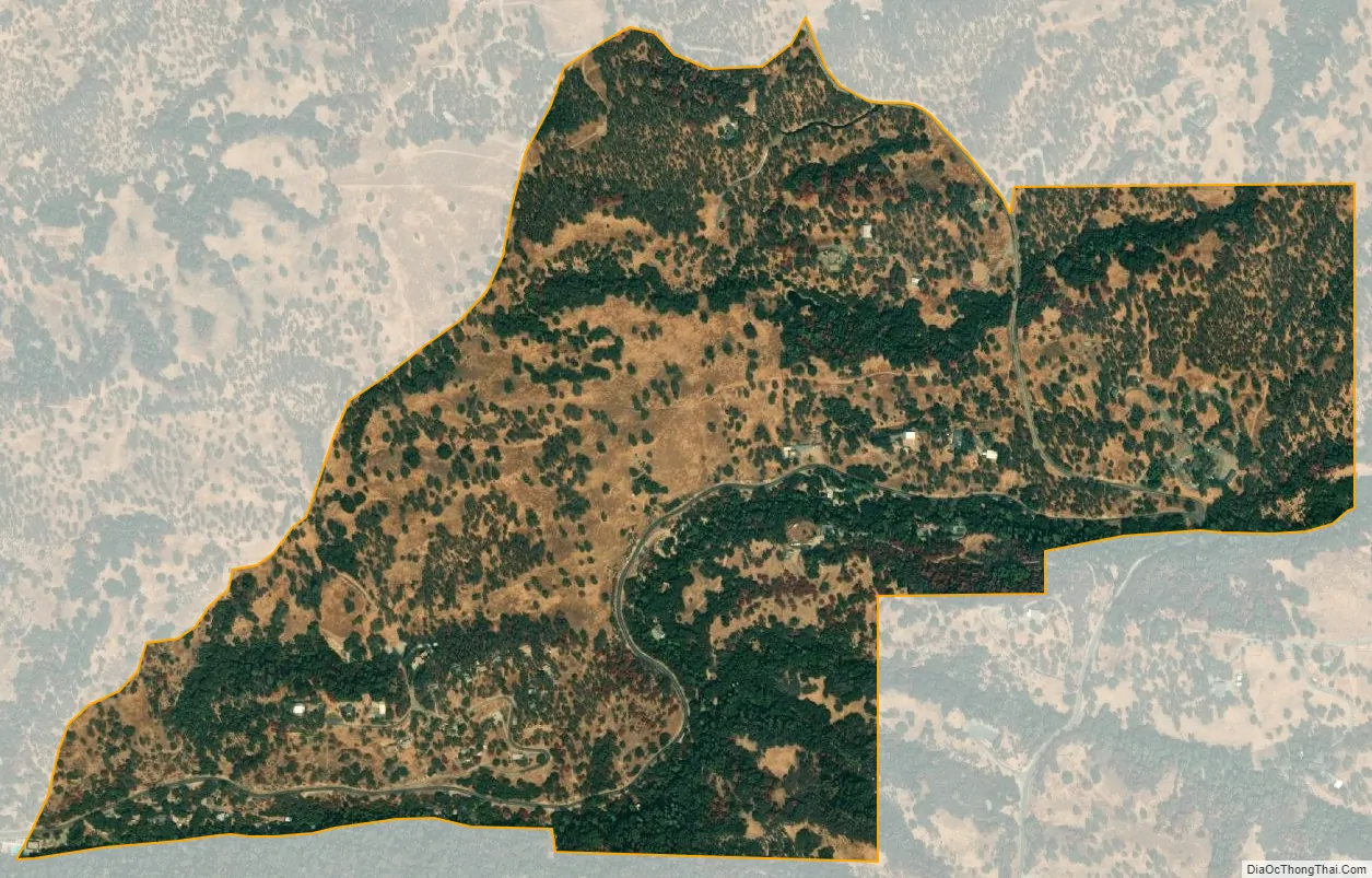
California Hot Springs city Satellite Map
Geography
According to the United States Census Bureau, the CDP covers an area of 0.7 square miles (1.9 km), all of it land.
See also
Map of California State and its subdivision:- Alameda
- Alpine
- Amador
- Butte
- Calaveras
- Colusa
- Contra Costa
- Del Norte
- El Dorado
- Fresno
- Glenn
- Humboldt
- Imperial
- Inyo
- Kern
- Kings
- Lake
- Lassen
- Los Angeles
- Madera
- Marin
- Mariposa
- Mendocino
- Merced
- Modoc
- Mono
- Monterey
- Napa
- Nevada
- Orange
- Placer
- Plumas
- Riverside
- Sacramento
- San Benito
- San Bernardino
- San Diego
- San Francisco
- San Joaquin
- San Luis Obispo
- San Mateo
- Santa Barbara
- Santa Clara
- Santa Cruz
- Shasta
- Sierra
- Siskiyou
- Solano
- Sonoma
- Stanislaus
- Sutter
- Tehama
- Trinity
- Tulare
- Tuolumne
- Ventura
- Yolo
- Yuba
- Alabama
- Alaska
- Arizona
- Arkansas
- California
- Colorado
- Connecticut
- Delaware
- District of Columbia
- Florida
- Georgia
- Hawaii
- Idaho
- Illinois
- Indiana
- Iowa
- Kansas
- Kentucky
- Louisiana
- Maine
- Maryland
- Massachusetts
- Michigan
- Minnesota
- Mississippi
- Missouri
- Montana
- Nebraska
- Nevada
- New Hampshire
- New Jersey
- New Mexico
- New York
- North Carolina
- North Dakota
- Ohio
- Oklahoma
- Oregon
- Pennsylvania
- Rhode Island
- South Carolina
- South Dakota
- Tennessee
- Texas
- Utah
- Vermont
- Virginia
- Washington
- West Virginia
- Wisconsin
- Wyoming


