Calipatria (portmanteau of California and Patria, Spanish and Latin for “homeland”) is a city in Imperial County, California. Calipatria is located 23 miles (37 km) north of El Centro. It is part of the El Centro Metropolitan Area. The population was 6,515 at the 2020 census, down from 7,710 at the 2010 census, up from 7,289 at the 2000 census, including 4000 inmates at Calipatria State Prison. The community is located along State Route 111.
| Name: | Calipatria city |
|---|---|
| LSAD Code: | 25 |
| LSAD Description: | city (suffix) |
| State: | California |
| County: | Imperial County |
| Incorporated: | February 28, 1919 |
| Elevation: | −180 ft (−50 m) |
| Total Area: | 3.70 sq mi (9.58 km²) |
| Land Area: | 3.70 sq mi (9.58 km²) |
| Water Area: | 0.00 sq mi (0.00 km²) 0% |
| Total Population: | 6,515 |
| Population Density: | 1,761.29/sq mi (680.12/km²) |
| ZIP code: | 92233 |
| FIPS code: | 0609878 |
| Website: | www.calipatria.com |
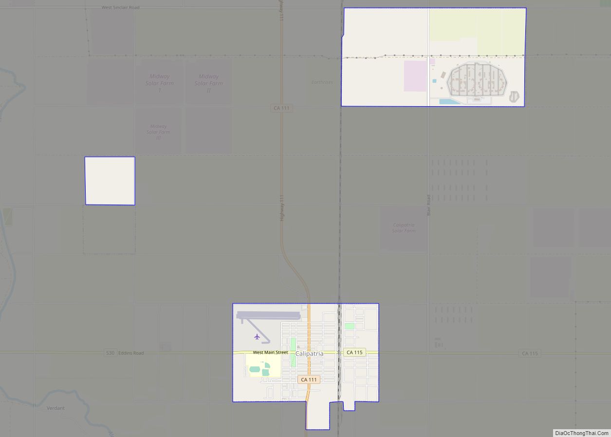
Online Interactive Map
Click on ![]() to view map in "full screen" mode.
to view map in "full screen" mode.
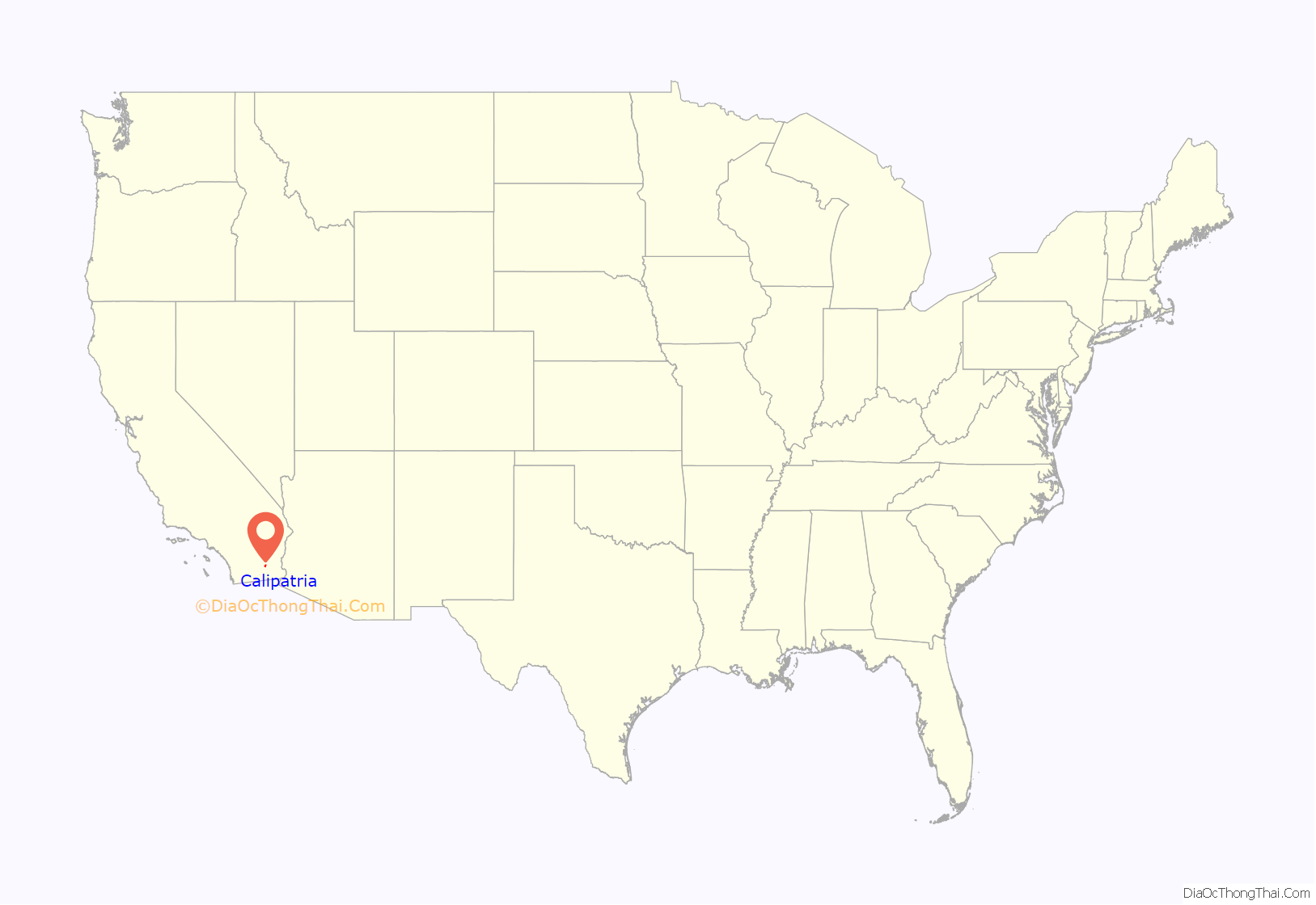
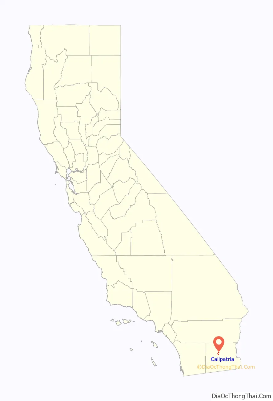
Calipatria location map. Where is Calipatria city?
History
The Imperial Valley Farm Lands Association founded the town as Date City in 1914. The first post office at Calipatria opened in 1914. Calipatria incorporated in 1919.
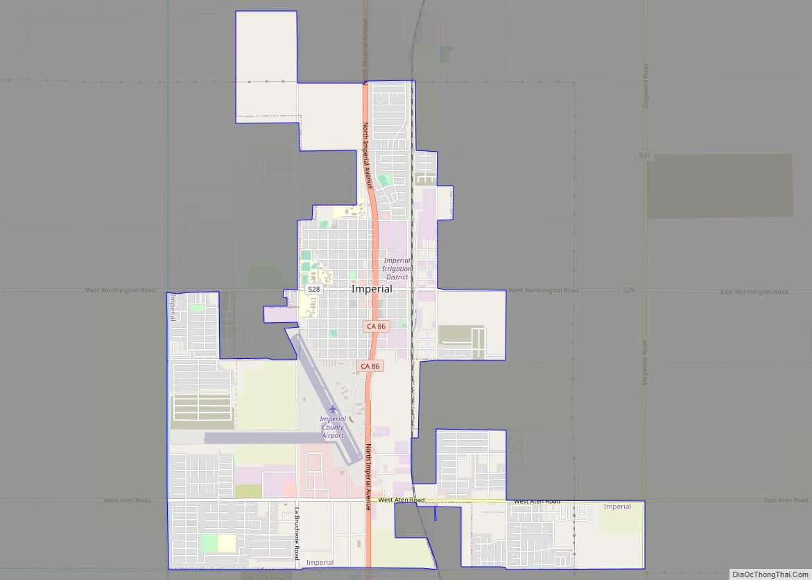
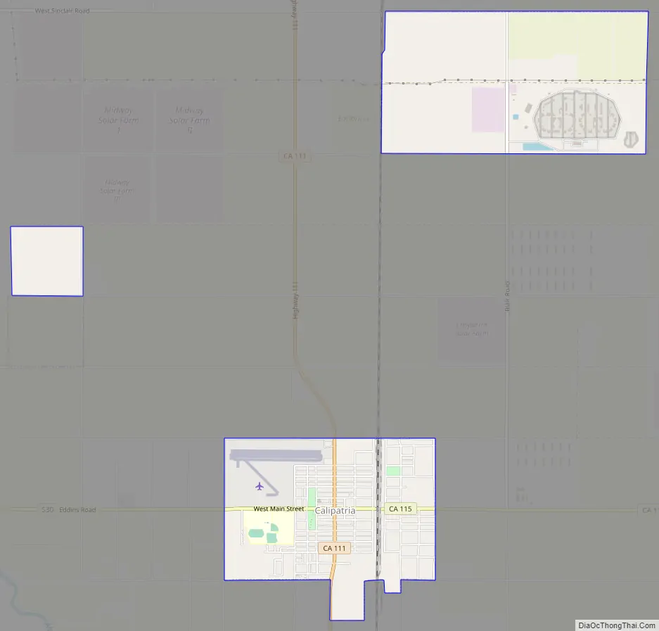
Calipatria Road Map
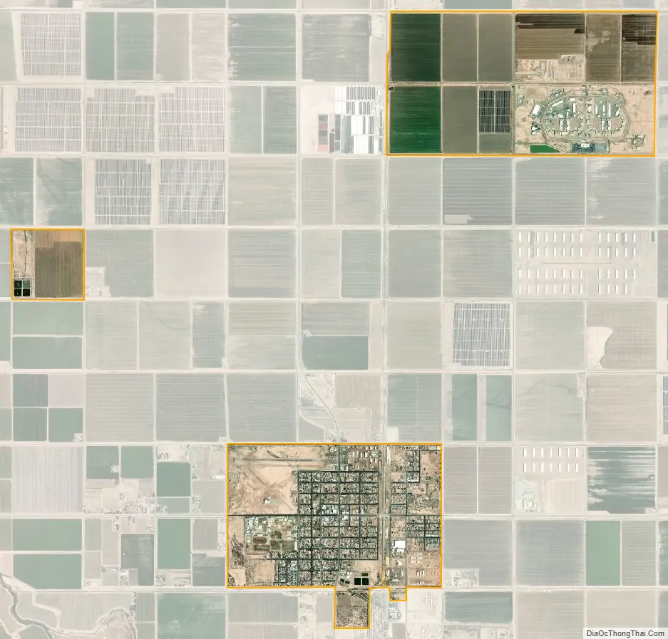
Calipatria city Satellite Map
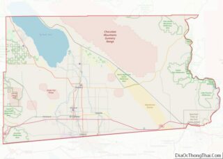
Geography
Calipatria is located at 33°07′32″N 115°30′51″W / 33.12556°N 115.51417°W / 33.12556; -115.51417.
At an elevation of 180 feet (55 m) below sea level, Calipatria is the lowest incorporated city in the Western Hemisphere. The city currently claims to have the “tallest flagpole (184 feet) where the flag flies at sea level” at 184 feet (56 m), so their American flag will always fly above sea level. According to the Guinness Book of World Records, the Jeddah Flagpole holds the title of world’s tallest, but it is entirely above sea level.
According to the United States Census Bureau, the city has a total area of 3.7 square miles (9.6 km), all land.
Climate
This area has a large amount of sunshine year round due to its stable descending air and high pressure. According to the Köppen Climate Classification system, Calipatria has a hot desert climate, abbreviated “Bwh” on climate maps.
See also
Map of California State and its subdivision:- Alameda
- Alpine
- Amador
- Butte
- Calaveras
- Colusa
- Contra Costa
- Del Norte
- El Dorado
- Fresno
- Glenn
- Humboldt
- Imperial
- Inyo
- Kern
- Kings
- Lake
- Lassen
- Los Angeles
- Madera
- Marin
- Mariposa
- Mendocino
- Merced
- Modoc
- Mono
- Monterey
- Napa
- Nevada
- Orange
- Placer
- Plumas
- Riverside
- Sacramento
- San Benito
- San Bernardino
- San Diego
- San Francisco
- San Joaquin
- San Luis Obispo
- San Mateo
- Santa Barbara
- Santa Clara
- Santa Cruz
- Shasta
- Sierra
- Siskiyou
- Solano
- Sonoma
- Stanislaus
- Sutter
- Tehama
- Trinity
- Tulare
- Tuolumne
- Ventura
- Yolo
- Yuba
- Alabama
- Alaska
- Arizona
- Arkansas
- California
- Colorado
- Connecticut
- Delaware
- District of Columbia
- Florida
- Georgia
- Hawaii
- Idaho
- Illinois
- Indiana
- Iowa
- Kansas
- Kentucky
- Louisiana
- Maine
- Maryland
- Massachusetts
- Michigan
- Minnesota
- Mississippi
- Missouri
- Montana
- Nebraska
- Nevada
- New Hampshire
- New Jersey
- New Mexico
- New York
- North Carolina
- North Dakota
- Ohio
- Oklahoma
- Oregon
- Pennsylvania
- Rhode Island
- South Carolina
- South Dakota
- Tennessee
- Texas
- Utah
- Vermont
- Virginia
- Washington
- West Virginia
- Wisconsin
- Wyoming