Cantua Creek (formerly, Cantua and Cantuna) is a census-designated place (CDP) in Fresno County, California, United States. As of the 2010 census, the population was 466, down from the 655 reported at the 2000 census. Cantua Creek is located 11 miles (18 km) south-southwest of Tranquillity, at an elevation of 295 feet (90 m).
| Name: | Cantua Creek CDP |
|---|---|
| LSAD Code: | 57 |
| LSAD Description: | CDP (suffix) |
| State: | California |
| County: | Fresno County |
| Elevation: | 295 ft (90 m) |
| Total Area: | 3.80 sq mi (9.83 km²) |
| Land Area: | 3.80 sq mi (9.83 km²) |
| Water Area: | 0.00 sq mi (0.00 km²) 0% |
| Total Population: | 500 |
| Population Density: | 131.68/sq mi (50.85/km²) |
| ZIP code: | 93608 |
| Area code: | 559 |
| FIPS code: | 0610816 |
Online Interactive Map
Click on ![]() to view map in "full screen" mode.
to view map in "full screen" mode.
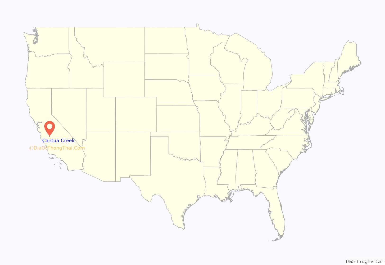
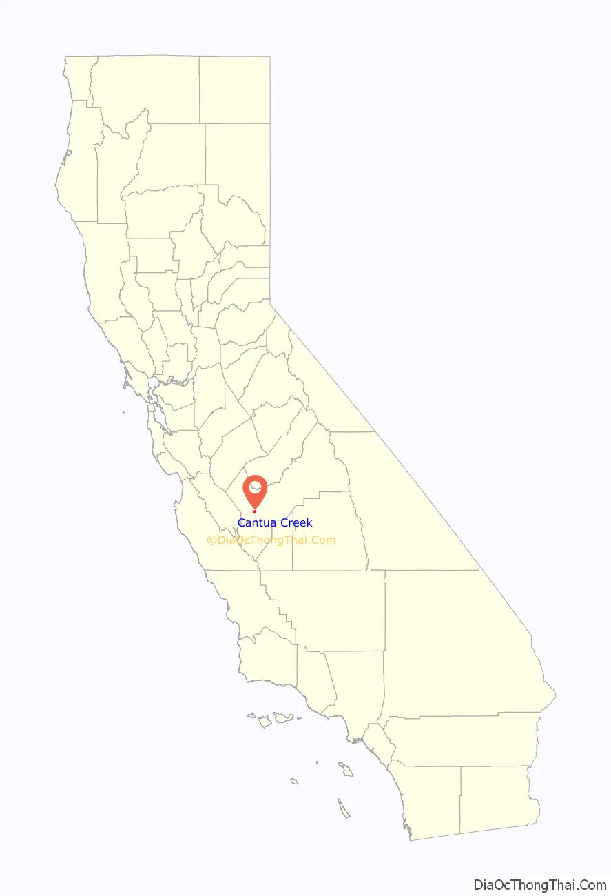
Cantua Creek location map. Where is Cantua Creek CDP?
History
The community of Cantua Creek is located near Cantua Creek, a tributary of the Fresno Slough that flows down from the Coast Range to the west toward the Fresno Slough. That creek originally, Arroyo de Cantua, was a stopping place on the El Camino Viejo. The hideout of Joaquin Murrieta was located in the vicinity of this creek in the mountains to the west of this community.
The Cantua post office operated in 1888, and from 1890 to 1892. The Cantua Creek post office opened in 1941.
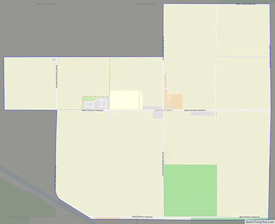
Cantua Creek Road Map
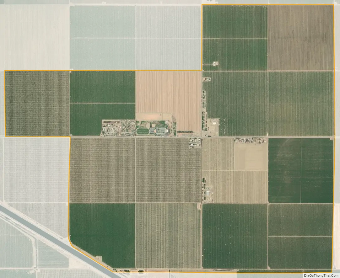
Cantua Creek city Satellite Map
Geography
According to the United States Census Bureau, the CDP has a total area of 3.8 square miles (9.8 km), all of it land.
Climate
According to the Köppen Climate Classification system, Cantua Creek has a semi-arid climate, abbreviated “BSk” on climate maps.
See also
Map of California State and its subdivision:- Alameda
- Alpine
- Amador
- Butte
- Calaveras
- Colusa
- Contra Costa
- Del Norte
- El Dorado
- Fresno
- Glenn
- Humboldt
- Imperial
- Inyo
- Kern
- Kings
- Lake
- Lassen
- Los Angeles
- Madera
- Marin
- Mariposa
- Mendocino
- Merced
- Modoc
- Mono
- Monterey
- Napa
- Nevada
- Orange
- Placer
- Plumas
- Riverside
- Sacramento
- San Benito
- San Bernardino
- San Diego
- San Francisco
- San Joaquin
- San Luis Obispo
- San Mateo
- Santa Barbara
- Santa Clara
- Santa Cruz
- Shasta
- Sierra
- Siskiyou
- Solano
- Sonoma
- Stanislaus
- Sutter
- Tehama
- Trinity
- Tulare
- Tuolumne
- Ventura
- Yolo
- Yuba
- Alabama
- Alaska
- Arizona
- Arkansas
- California
- Colorado
- Connecticut
- Delaware
- District of Columbia
- Florida
- Georgia
- Hawaii
- Idaho
- Illinois
- Indiana
- Iowa
- Kansas
- Kentucky
- Louisiana
- Maine
- Maryland
- Massachusetts
- Michigan
- Minnesota
- Mississippi
- Missouri
- Montana
- Nebraska
- Nevada
- New Hampshire
- New Jersey
- New Mexico
- New York
- North Carolina
- North Dakota
- Ohio
- Oklahoma
- Oregon
- Pennsylvania
- Rhode Island
- South Carolina
- South Dakota
- Tennessee
- Texas
- Utah
- Vermont
- Virginia
- Washington
- West Virginia
- Wisconsin
- Wyoming


