Carnelian Bay (formerly, Cornelian Bay) is an unincorporated community on the shore of Lake Tahoe in Placer County, California, United States. The Cornelian Bay post office operated from 1883 to 1887 and from 1891 to 1893. The Carnelian Bay post office opened in 1908.
For statistical purposes, the United States Census Bureau has defined Carnelian Bay as a census-designated place (CDP). The census definition of the area may not precisely correspond to local understanding of the area with the same name. The population was 524 at the 2010 census. The elevation is 6,325 feet (1,928 m).
Nearby cities and towns include: Tahoe Vista, Brockway, Kings Beach, Crystal Bay, Incline Village, Truckee, Tahoma, Homewood, and Tahoe City. Its ZIP code is 96140 and its area code 530.
| Name: | Carnelian Bay CDP |
|---|---|
| LSAD Code: | 57 |
| LSAD Description: | CDP (suffix) |
| State: | California |
| County: | Placer County |
| Elevation: | 6,325 ft (1,928 m) |
| Total Area: | 1.50 sq mi (3.88 km²) |
| Land Area: | 1.30 sq mi (3.36 km²) |
| Water Area: | 0.20 sq mi (0.52 km²) 0.18% |
| Total Population: | 518 |
| Population Density: | 398.77/sq mi (153.98/km²) |
| ZIP code: | 96140 |
| Area code: | 530 |
| FIPS code: | 0611418 |
| GNISfeature ID: | 2628716 |
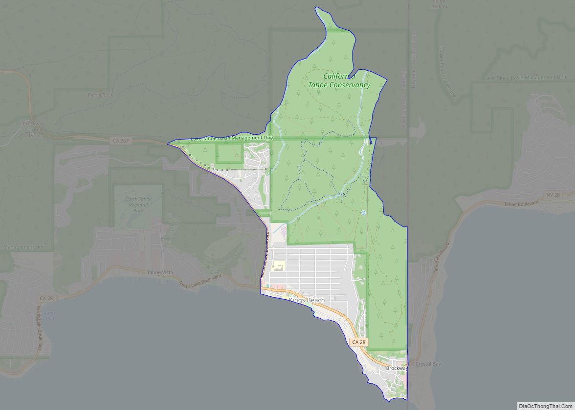
Online Interactive Map
Click on ![]() to view map in "full screen" mode.
to view map in "full screen" mode.
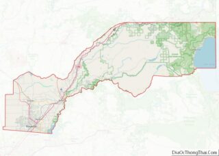
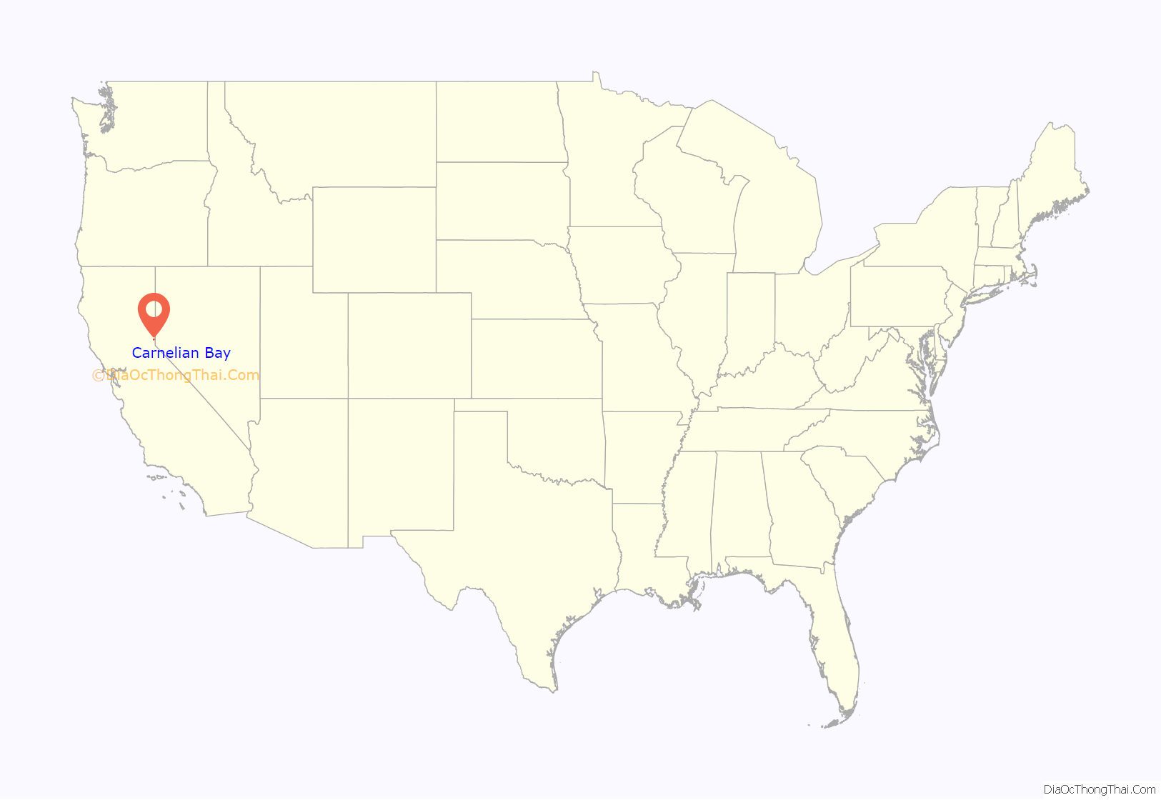
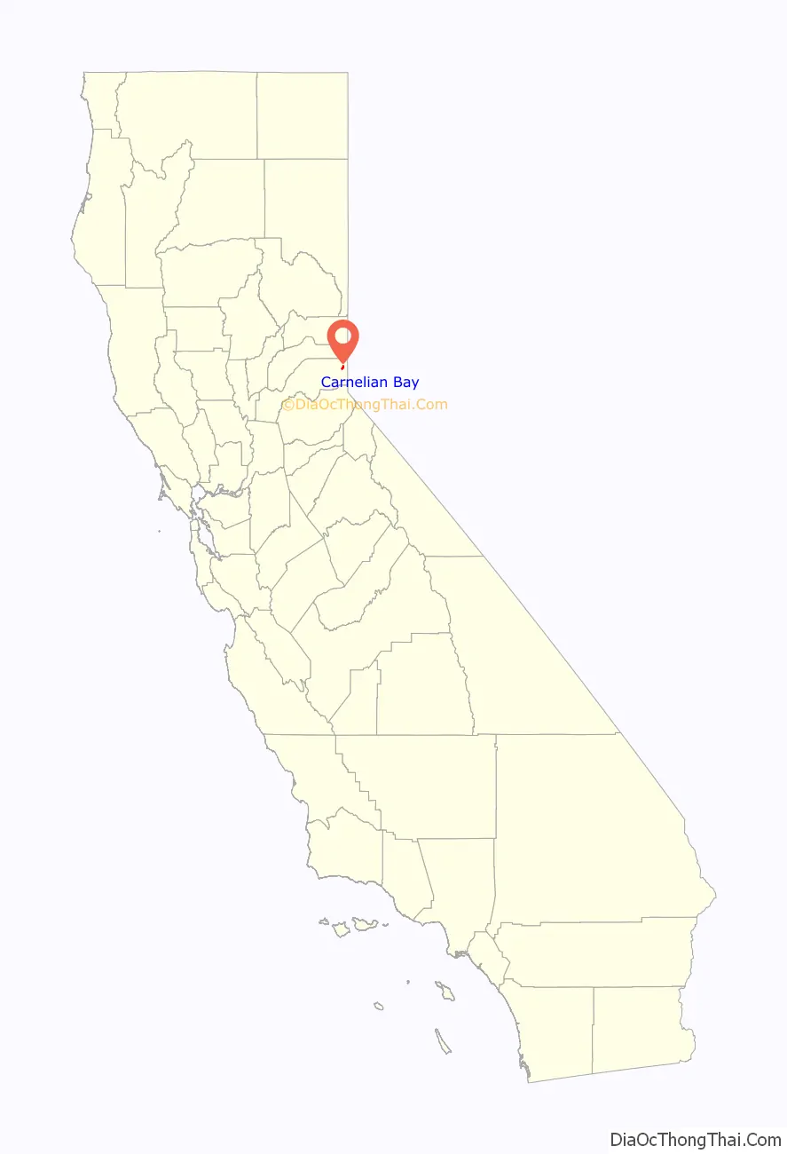
Carnelian Bay location map. Where is Carnelian Bay CDP?
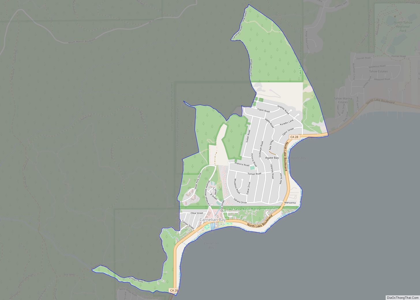
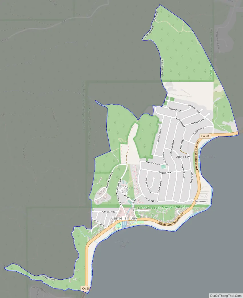
Carnelian Bay Road Map
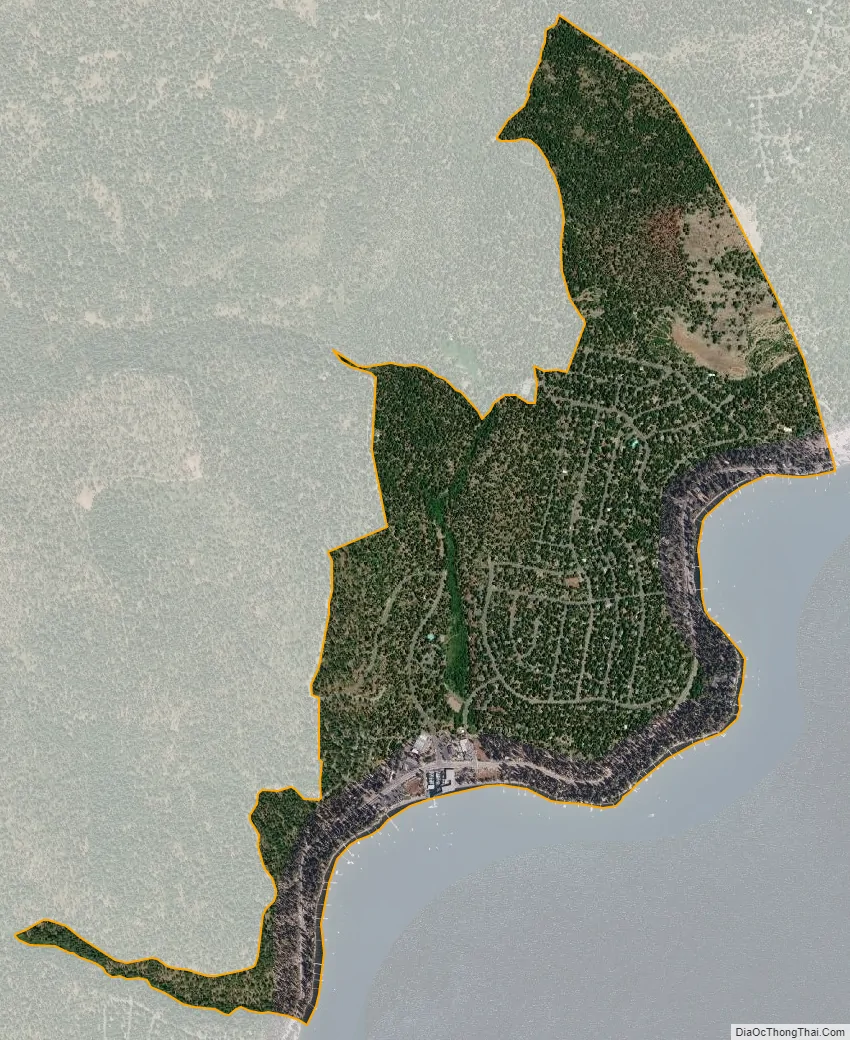
Carnelian Bay city Satellite Map
Geography
According to the United States Census Bureau, the CDP covers an area of 1.3 square miles (3.4 km), 99.82% of it land, and 0.18% of it water.
See also
Map of California State and its subdivision:- Alameda
- Alpine
- Amador
- Butte
- Calaveras
- Colusa
- Contra Costa
- Del Norte
- El Dorado
- Fresno
- Glenn
- Humboldt
- Imperial
- Inyo
- Kern
- Kings
- Lake
- Lassen
- Los Angeles
- Madera
- Marin
- Mariposa
- Mendocino
- Merced
- Modoc
- Mono
- Monterey
- Napa
- Nevada
- Orange
- Placer
- Plumas
- Riverside
- Sacramento
- San Benito
- San Bernardino
- San Diego
- San Francisco
- San Joaquin
- San Luis Obispo
- San Mateo
- Santa Barbara
- Santa Clara
- Santa Cruz
- Shasta
- Sierra
- Siskiyou
- Solano
- Sonoma
- Stanislaus
- Sutter
- Tehama
- Trinity
- Tulare
- Tuolumne
- Ventura
- Yolo
- Yuba
- Alabama
- Alaska
- Arizona
- Arkansas
- California
- Colorado
- Connecticut
- Delaware
- District of Columbia
- Florida
- Georgia
- Hawaii
- Idaho
- Illinois
- Indiana
- Iowa
- Kansas
- Kentucky
- Louisiana
- Maine
- Maryland
- Massachusetts
- Michigan
- Minnesota
- Mississippi
- Missouri
- Montana
- Nebraska
- Nevada
- New Hampshire
- New Jersey
- New Mexico
- New York
- North Carolina
- North Dakota
- Ohio
- Oklahoma
- Oregon
- Pennsylvania
- Rhode Island
- South Carolina
- South Dakota
- Tennessee
- Texas
- Utah
- Vermont
- Virginia
- Washington
- West Virginia
- Wisconsin
- Wyoming