Casa de Oro-Mount Helix is a census-designated place (CDP) in the East County region of San Diego County, California.
The CDP encompasses several unincorporated neighborhoods near the cities of El Cajon and La Mesa and the CDP of Spring Valley. Locations in the northern (Mount Helix) part of the CDP use La Mesa addresses, while locations in the southern (Casa de Oro) part use Spring Valley addresses. Informally, Casa de Oro is often considered to be a part of Spring Valley.
The population was 18,762 at the 2010 census, down from 18,874 at the 2000 census.
| Name: | Casa de Oro-Mount Helix CDP |
|---|---|
| LSAD Code: | 57 |
| LSAD Description: | CDP (suffix) |
| State: | California |
| County: | San Diego County |
| Total Area: | 6.85 sq mi (17.74 km²) |
| Land Area: | 6.85 sq mi (17.74 km²) |
| Water Area: | 0.00 sq mi (0.00 km²) 0% |
| Total Population: | 19,576 |
| Population Density: | 2,857.39/sq mi (1,103.25/km²) |
| ZIP code: | 91941, 91977, 92020 |
| Area code: | 619 |
| FIPS code: | 0611691 |
| GNISfeature ID: | 2407979 |
Online Interactive Map
Click on ![]() to view map in "full screen" mode.
to view map in "full screen" mode.
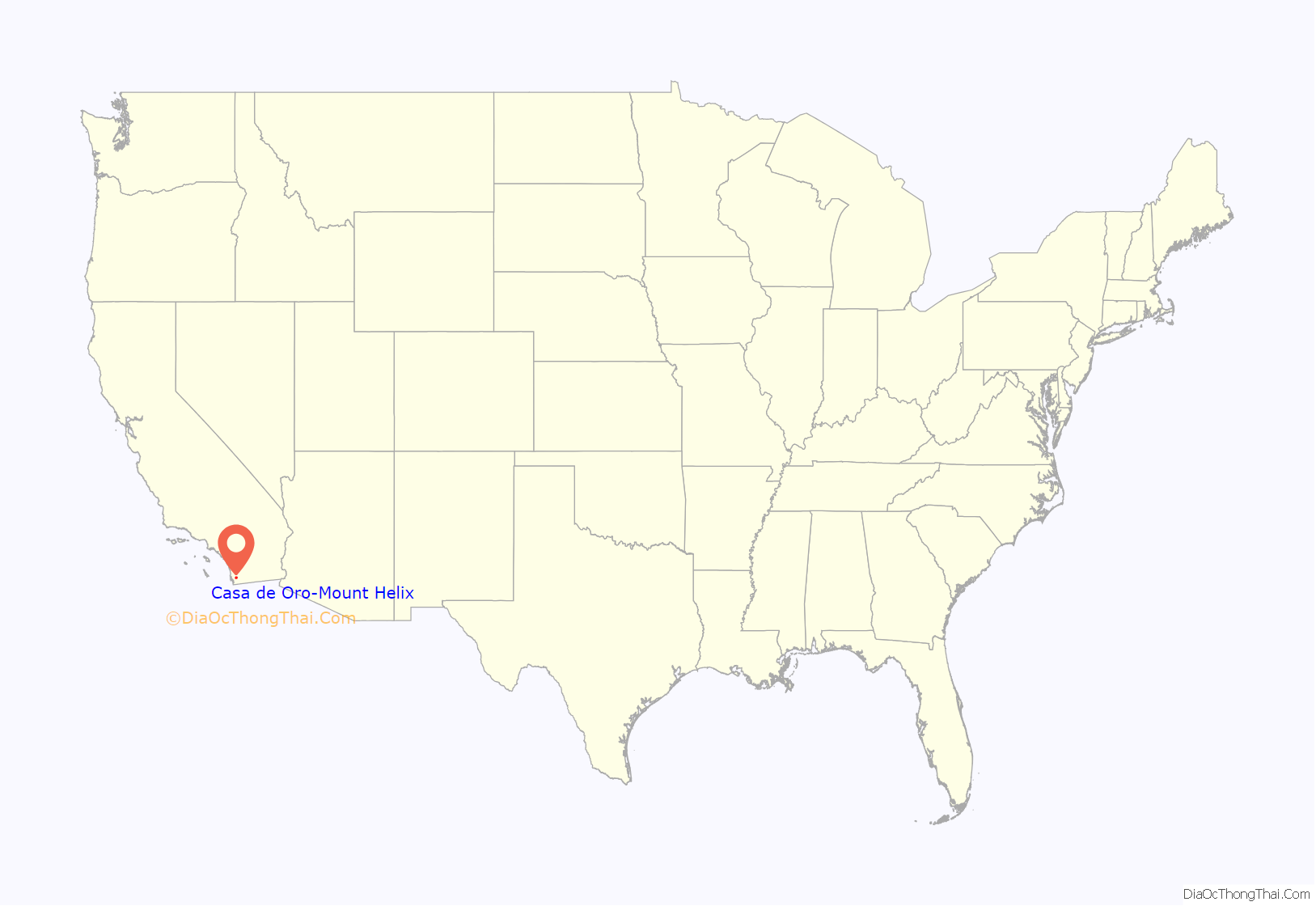
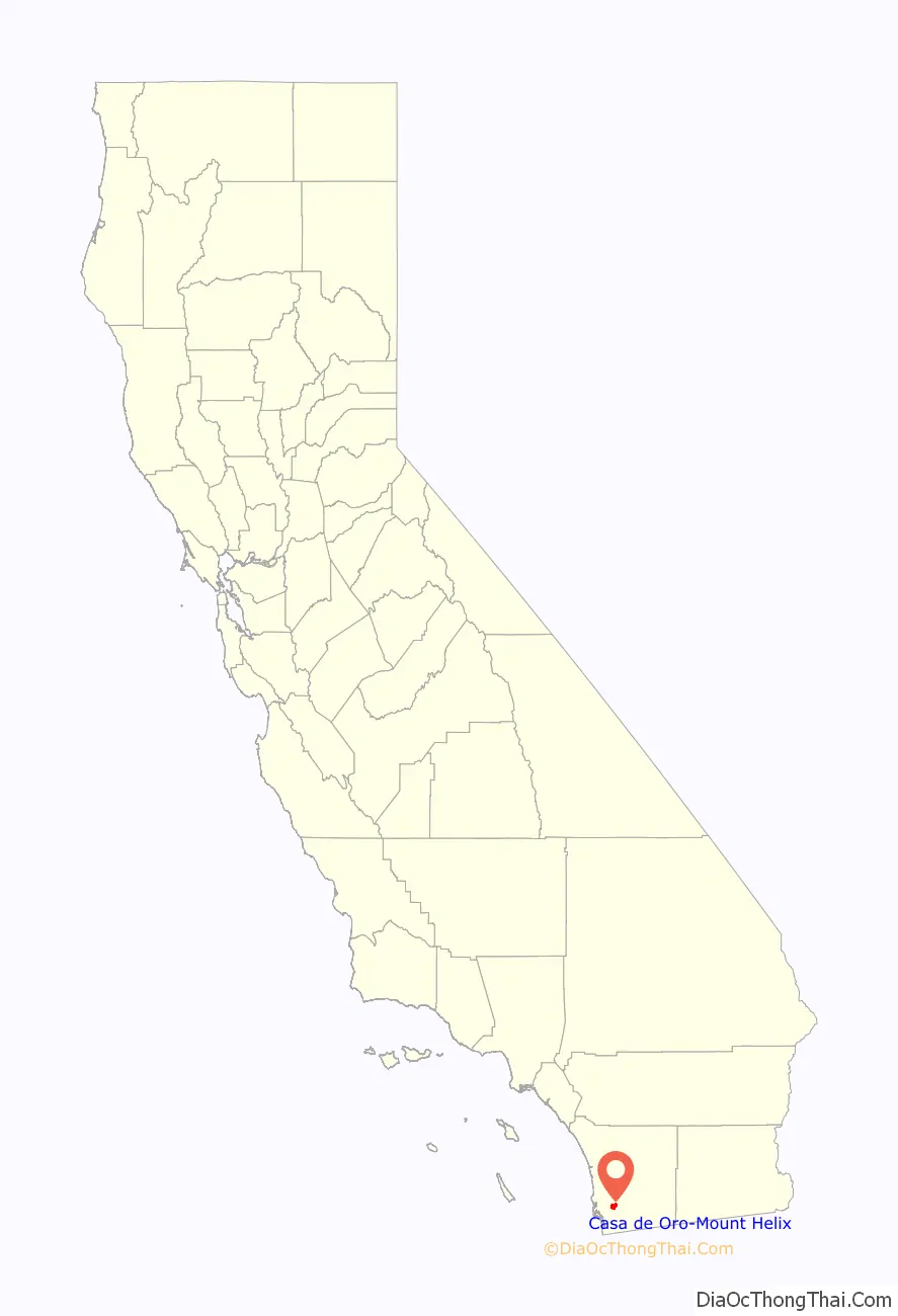
Casa de Oro-Mount Helix location map. Where is Casa de Oro-Mount Helix CDP?
History
In 1872, after a scientist discovered a European snail (Cornu aspersum, formerly Helix aspersa) living on a small mountain, Rufus King Porter, the founder of what is now unincorporated Spring Valley, California, named the peak Mt. Helix. Then in 1885, the United States Postal Service rejected the use of two words for a post office name, so Rufus submitted just the name Helix and also became the first postmaster in Spring Valley; the Helix Post Office was operated out of his home.
Around this same time, Hubert Howe Bancroft came to the area. He bought the Porters’ ranch and also acquired neighboring properties, accumulating about 500 acres (2.0 km). He began calling his property “Helix Farms.” Bancroft hired workers to help develop Helix Farms, planting orchards and building structures for his ranch. By the early 1900s, Helix Farms was home to the largest olive ranch in southern California; some of the original olive trees can still be found today. Bancroft died in 1918, and eventually his family sold the property.
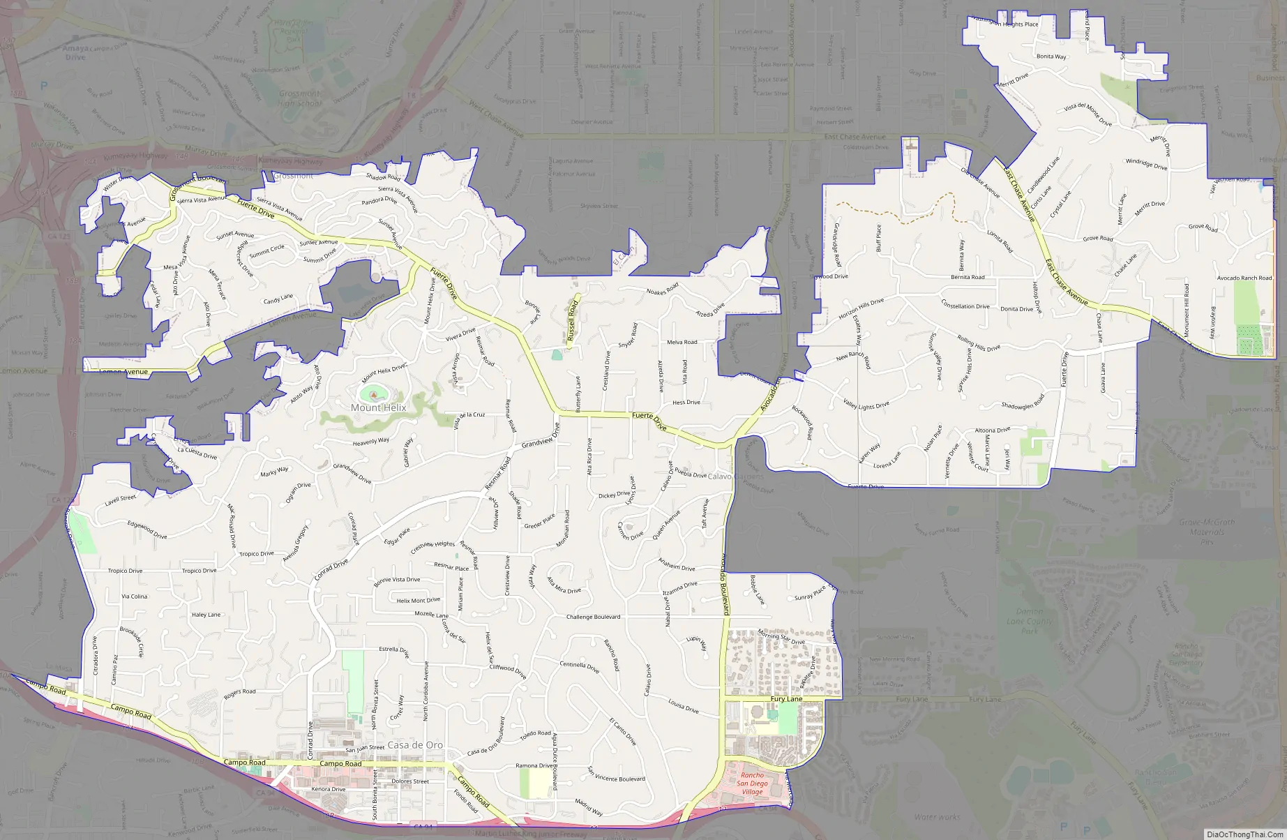
Casa de Oro-Mount Helix Road Map
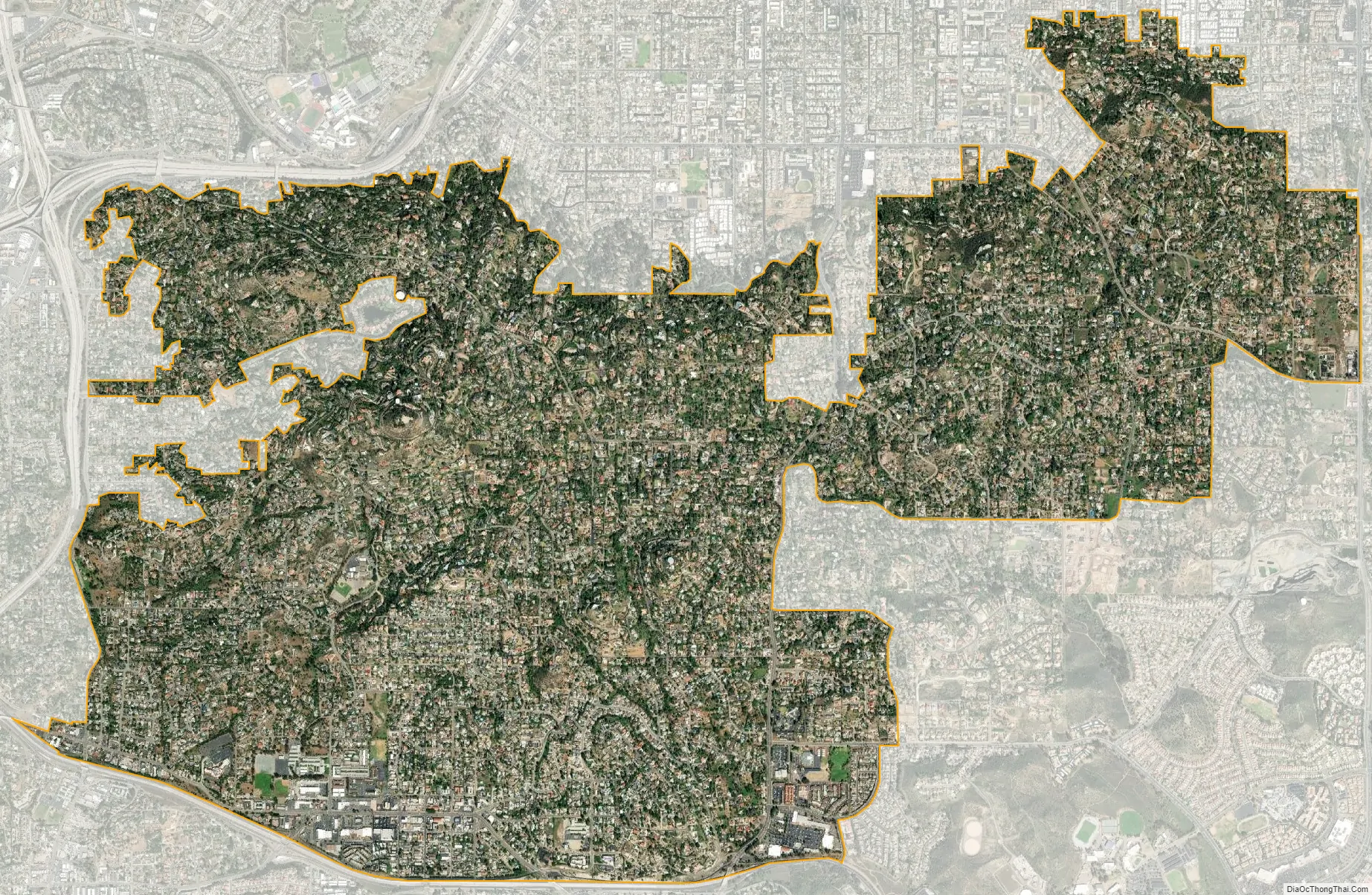
Casa de Oro-Mount Helix city Satellite Map
Geography
Casa de Oro-Mount Helix is located at 32°45′48″N 116°58′39″W / 32.76333°N 116.97750°W / 32.76333; -116.97750 (32.763359, -116.977474).
According to the United States Census Bureau, the CDP has a total area of 6.9 square miles (18 km), all land.
See also
Map of California State and its subdivision:- Alameda
- Alpine
- Amador
- Butte
- Calaveras
- Colusa
- Contra Costa
- Del Norte
- El Dorado
- Fresno
- Glenn
- Humboldt
- Imperial
- Inyo
- Kern
- Kings
- Lake
- Lassen
- Los Angeles
- Madera
- Marin
- Mariposa
- Mendocino
- Merced
- Modoc
- Mono
- Monterey
- Napa
- Nevada
- Orange
- Placer
- Plumas
- Riverside
- Sacramento
- San Benito
- San Bernardino
- San Diego
- San Francisco
- San Joaquin
- San Luis Obispo
- San Mateo
- Santa Barbara
- Santa Clara
- Santa Cruz
- Shasta
- Sierra
- Siskiyou
- Solano
- Sonoma
- Stanislaus
- Sutter
- Tehama
- Trinity
- Tulare
- Tuolumne
- Ventura
- Yolo
- Yuba
- Alabama
- Alaska
- Arizona
- Arkansas
- California
- Colorado
- Connecticut
- Delaware
- District of Columbia
- Florida
- Georgia
- Hawaii
- Idaho
- Illinois
- Indiana
- Iowa
- Kansas
- Kentucky
- Louisiana
- Maine
- Maryland
- Massachusetts
- Michigan
- Minnesota
- Mississippi
- Missouri
- Montana
- Nebraska
- Nevada
- New Hampshire
- New Jersey
- New Mexico
- New York
- North Carolina
- North Dakota
- Ohio
- Oklahoma
- Oregon
- Pennsylvania
- Rhode Island
- South Carolina
- South Dakota
- Tennessee
- Texas
- Utah
- Vermont
- Virginia
- Washington
- West Virginia
- Wisconsin
- Wyoming


