Chilcoot-Vinton is a census-designated place (CDP) in Plumas County, California, United States. The population was 454 at the 2010 census, up from 387 at the 2000 census.
| Name: | Chilcoot-Vinton CDP |
|---|---|
| LSAD Code: | 57 |
| LSAD Description: | CDP (suffix) |
| State: | California |
| County: | Plumas County |
| Total Area: | 13.21 sq mi (34.21 km²) |
| Land Area: | 13.21 sq mi (34.21 km²) |
| Water Area: | 0.00 sq mi (0.00 km²) 0% |
| Total Population: | 446 |
| Population Density: | 33.77/sq mi (13.04/km²) |
| ZIP code: | 96105 |
| Area code: | 530 |
| FIPS code: | 0613077 |
Online Interactive Map
Click on ![]() to view map in "full screen" mode.
to view map in "full screen" mode.
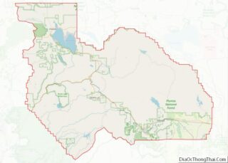
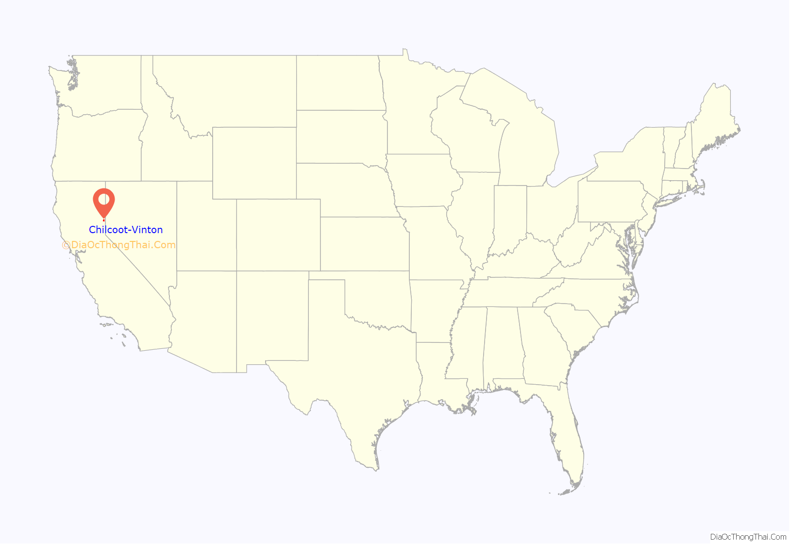
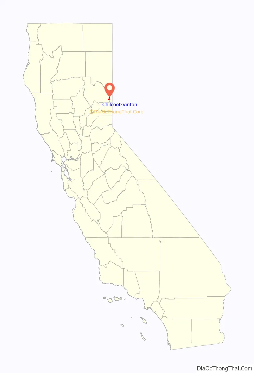
Chilcoot-Vinton location map. Where is Chilcoot-Vinton CDP?
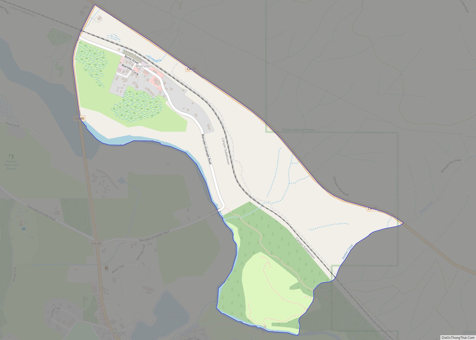
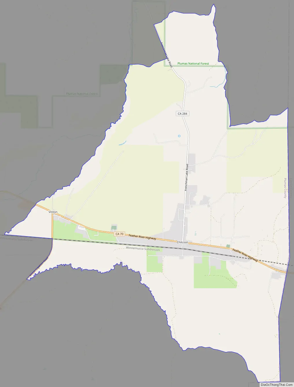
Chilcoot-Vinton Road Map
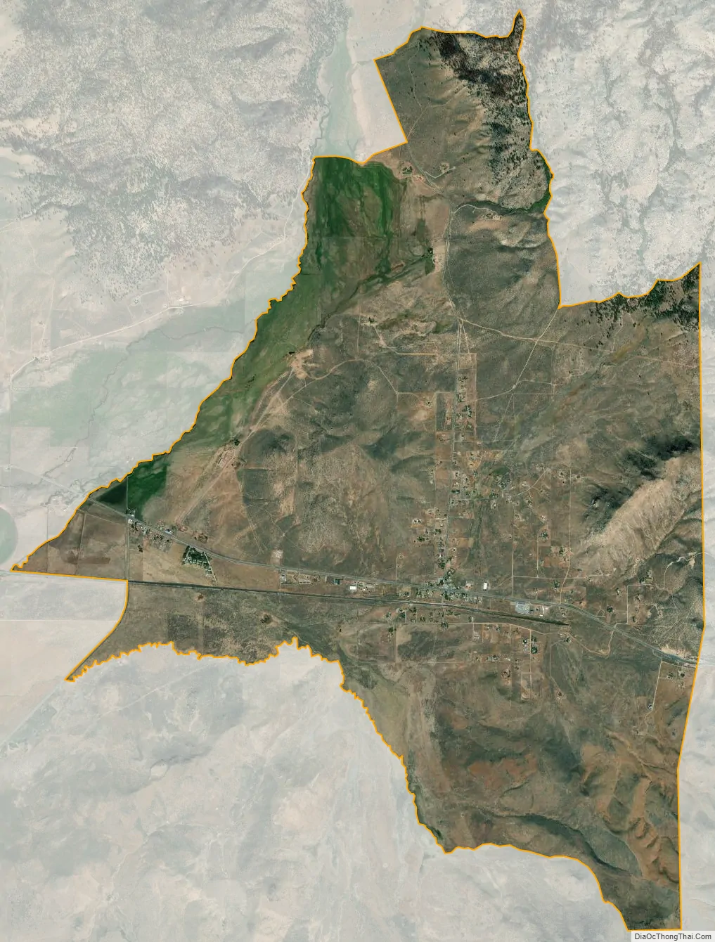
Chilcoot-Vinton city Satellite Map
Geography
Chilcoot-Vinton is located at 39°48′2″N 120°8′40″W / 39.80056°N 120.14444°W / 39.80056; -120.14444 (39.800609, -120.144398).
According to the United States Census Bureau, the CDP has a total area of 13.2 square miles (34 km), all of it land. Chilcoot and Vinton are actually two separate small communities that are two miles apart on State Route 70, but were grouped together by the USCB for statistical purposes.
Frenchman Lake, Plumas County, California is a nearby recreation area known for its fishing, camping and water sports and is the largest contributor to the economies of Vinton and Chilcoot.
See also
Map of California State and its subdivision:- Alameda
- Alpine
- Amador
- Butte
- Calaveras
- Colusa
- Contra Costa
- Del Norte
- El Dorado
- Fresno
- Glenn
- Humboldt
- Imperial
- Inyo
- Kern
- Kings
- Lake
- Lassen
- Los Angeles
- Madera
- Marin
- Mariposa
- Mendocino
- Merced
- Modoc
- Mono
- Monterey
- Napa
- Nevada
- Orange
- Placer
- Plumas
- Riverside
- Sacramento
- San Benito
- San Bernardino
- San Diego
- San Francisco
- San Joaquin
- San Luis Obispo
- San Mateo
- Santa Barbara
- Santa Clara
- Santa Cruz
- Shasta
- Sierra
- Siskiyou
- Solano
- Sonoma
- Stanislaus
- Sutter
- Tehama
- Trinity
- Tulare
- Tuolumne
- Ventura
- Yolo
- Yuba
- Alabama
- Alaska
- Arizona
- Arkansas
- California
- Colorado
- Connecticut
- Delaware
- District of Columbia
- Florida
- Georgia
- Hawaii
- Idaho
- Illinois
- Indiana
- Iowa
- Kansas
- Kentucky
- Louisiana
- Maine
- Maryland
- Massachusetts
- Michigan
- Minnesota
- Mississippi
- Missouri
- Montana
- Nebraska
- Nevada
- New Hampshire
- New Jersey
- New Mexico
- New York
- North Carolina
- North Dakota
- Ohio
- Oklahoma
- Oregon
- Pennsylvania
- Rhode Island
- South Carolina
- South Dakota
- Tennessee
- Texas
- Utah
- Vermont
- Virginia
- Washington
- West Virginia
- Wisconsin
- Wyoming