Chester (formerly Big Meadows) is a census-designated place (CDP) in Plumas County, California, United States. Chester is located on Lake Almanor, 30 miles (48.3 km) north-northwest of Quincy. The town is located along State Route 36. The US Postal Service ZIP code for the community is 96020. The population was 2,144 at the 2010 census, down from 2,316 at the 2000 census.
The primary industries in Chester are lumber production and tourism. Chester serves as the retail center for the Lake Almanor region of California, and derives a significant portion of its economy from the tourist trade, and to a lesser degree from construction to new residents and businesses.
| Name: | Chester CDP |
|---|---|
| LSAD Code: | 57 |
| LSAD Description: | CDP (suffix) |
| State: | California |
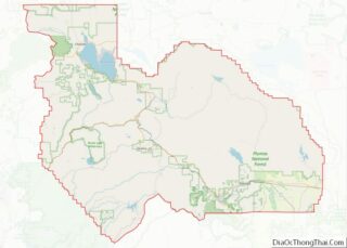
| County: | Plumas County |
| Elevation: | 4,534 ft (1,382 m) |
| Total Area: | 7.37 sq mi (19.08 km²) |
| Land Area: | 7.29 sq mi (18.87 km²) |
| Water Area: | 0.08 sq mi (0.21 km²) 1.1% |
| Total Population: | 2,187 |
| Population Density: | 300.08/sq mi (115.87/km²) |
| ZIP code: | 96020 |
| Area code: | 530 |
| FIPS code: | 0612930 |
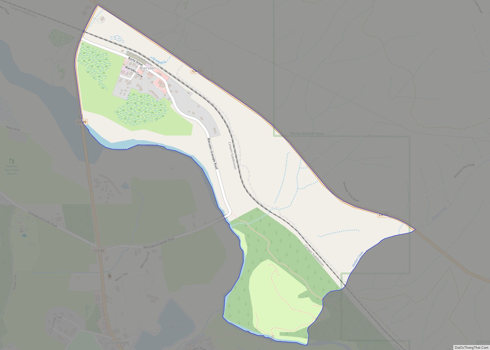
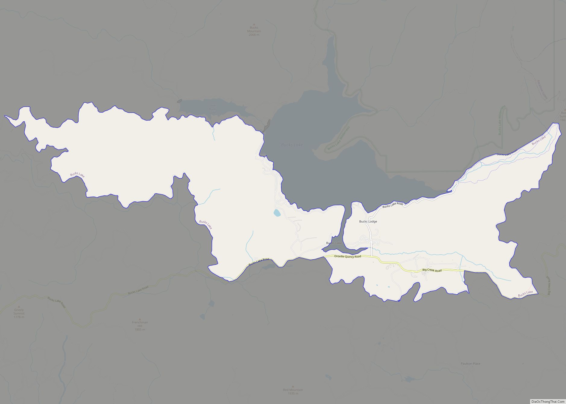
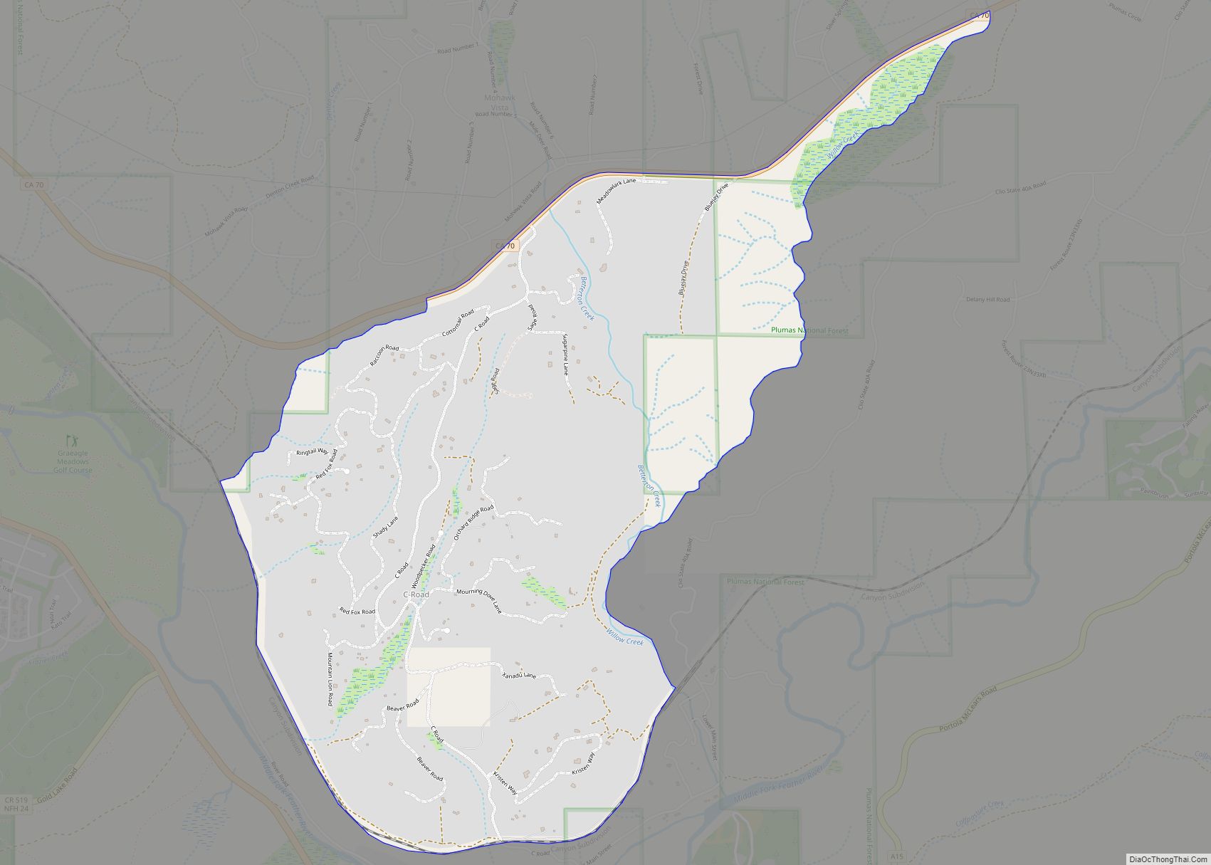
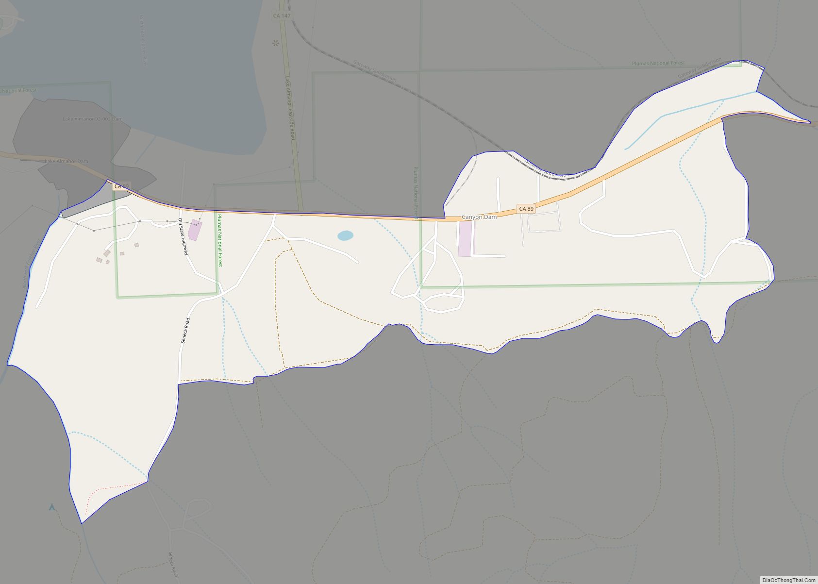
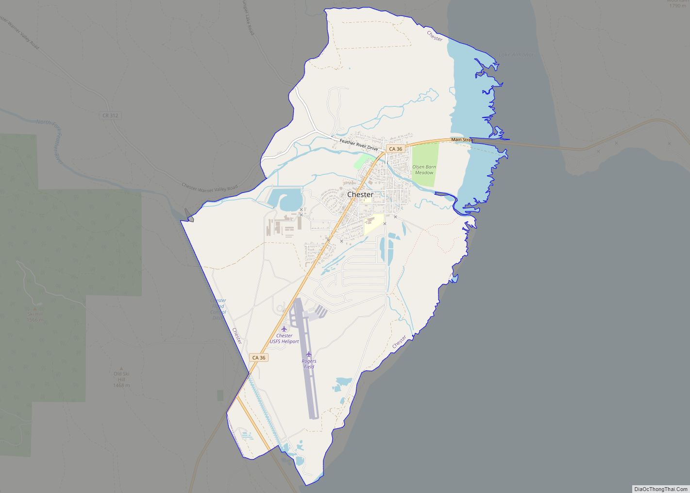
Online Interactive Map
Click on ![]() to view map in "full screen" mode.
to view map in "full screen" mode.
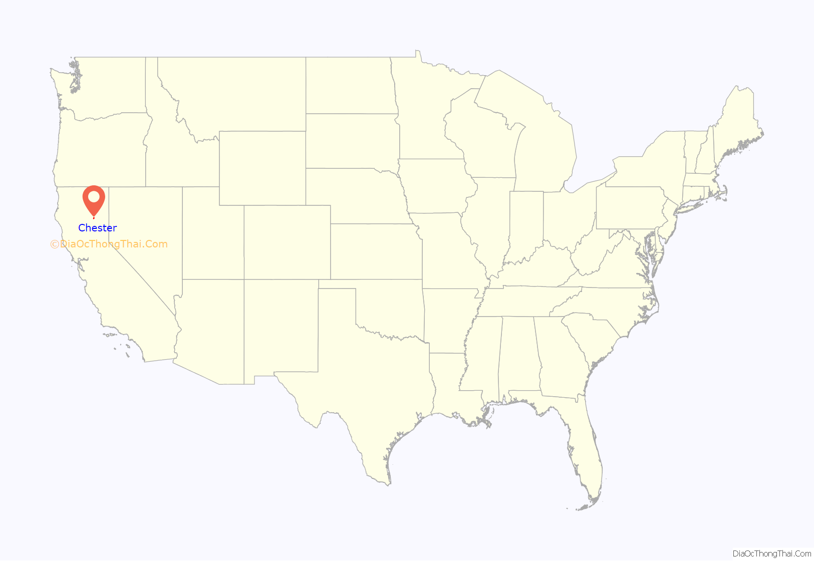
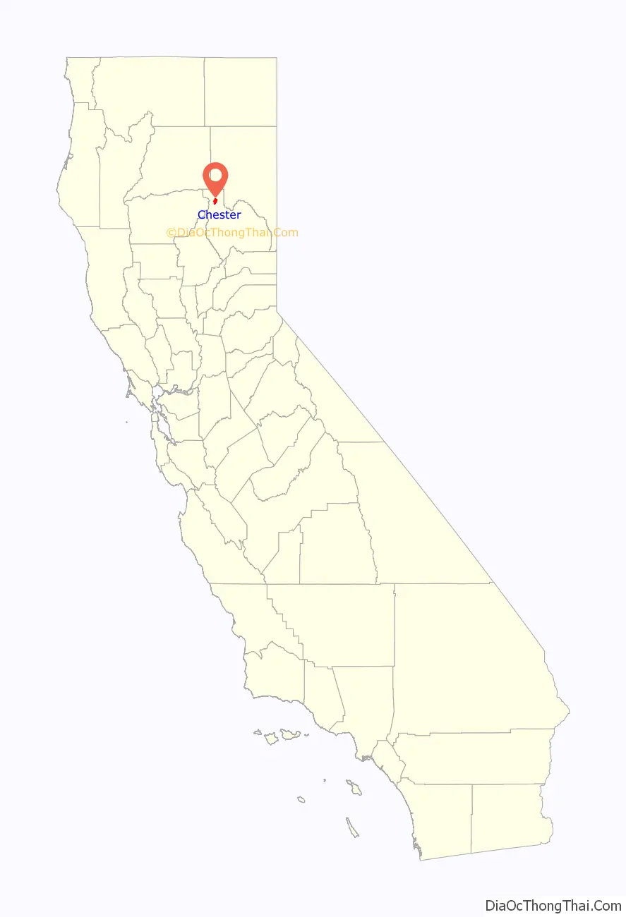
Chester location map. Where is Chester CDP?
History
The town was founded and named by two settlers, one from Chester, Vermont, and another from Chester, Missouri. The Chester post office opened in 1894 and moved in 1908.
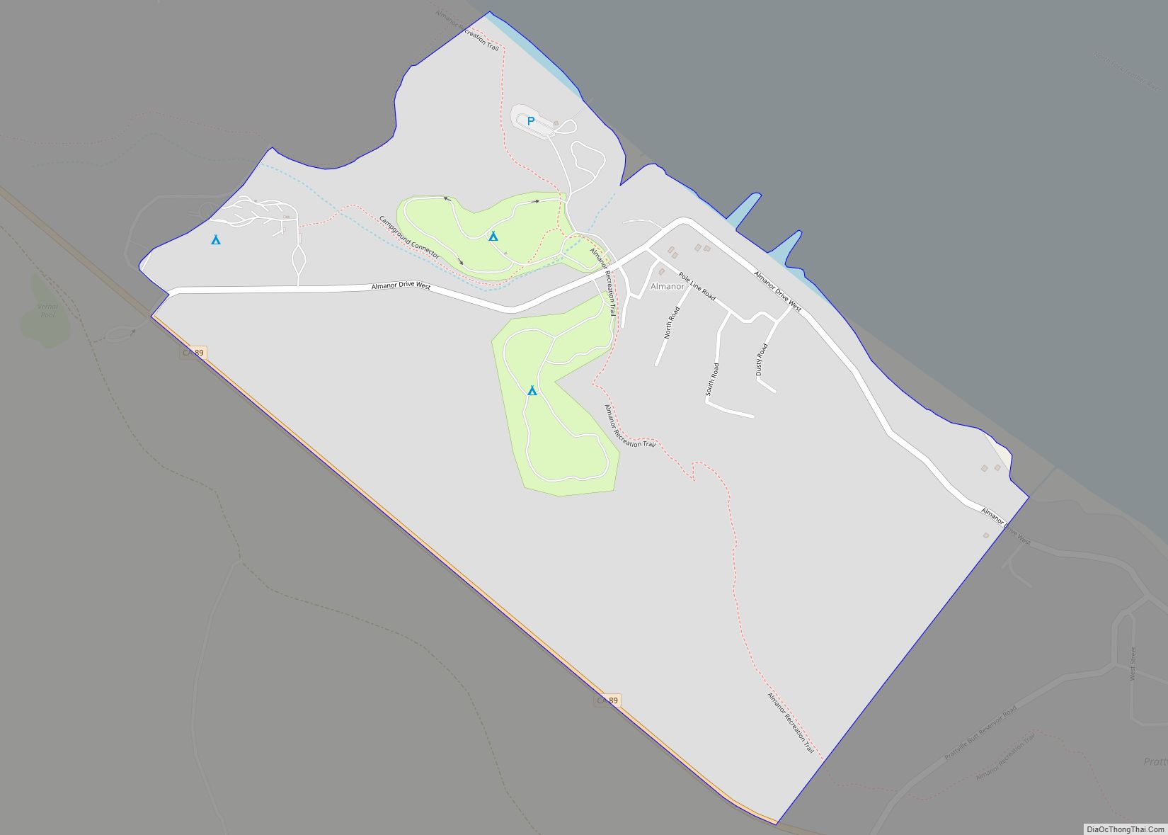
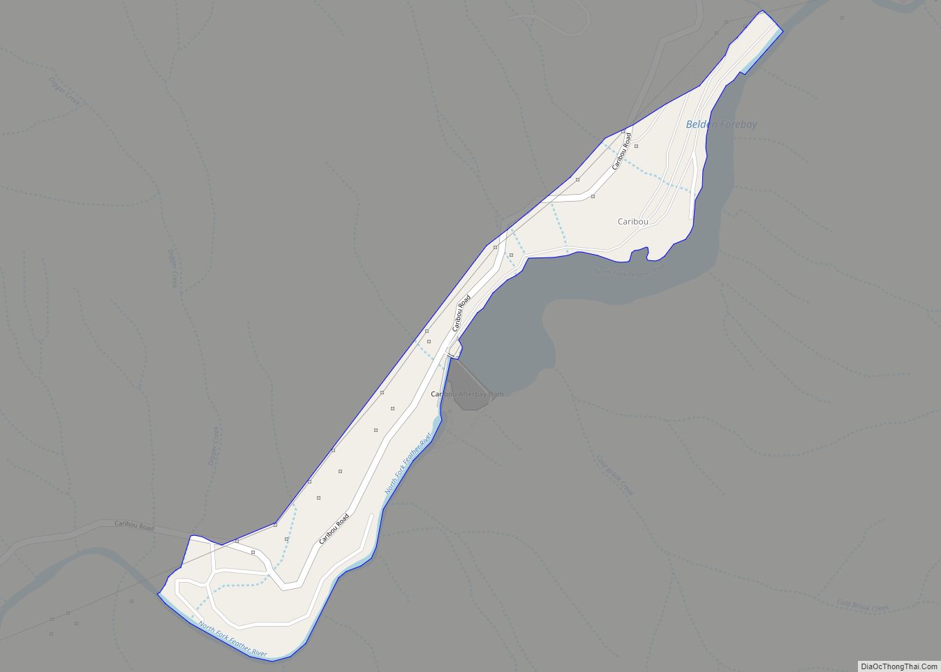
Chester Road Map

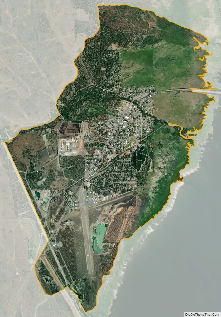
Chester city Satellite Map
Geography
Chester is located at 40°18′10″N 121°14′5″W / 40.30278°N 121.23472°W / 40.30278; -121.23472 (40.302395, -121.234672).
According to the United States Census Bureau, the CDP has a total area of 10.1 km (3.9 sq mi). 18.9 km (7.3 sq mi) of it is land and 0.2 km (0.077 sq mi) of it (1.10%) is water.
Chester is situated almost directly over the buried north end of the fault-block Sierra Nevada and the southernmost end of the volcanic Cascade Range.
See also
Map of California State and its subdivision:- Alameda
- Alpine
- Amador
- Butte
- Calaveras
- Colusa
- Contra Costa
- Del Norte
- El Dorado
- Fresno
- Glenn
- Humboldt
- Imperial
- Inyo
- Kern
- Kings
- Lake
- Lassen
- Los Angeles
- Madera
- Marin
- Mariposa
- Mendocino
- Merced
- Modoc
- Mono
- Monterey
- Napa
- Nevada
- Orange
- Placer
- Plumas
- Riverside
- Sacramento
- San Benito
- San Bernardino
- San Diego
- San Francisco
- San Joaquin
- San Luis Obispo
- San Mateo
- Santa Barbara
- Santa Clara
- Santa Cruz
- Shasta
- Sierra
- Siskiyou
- Solano
- Sonoma
- Stanislaus
- Sutter
- Tehama
- Trinity
- Tulare
- Tuolumne
- Ventura
- Yolo
- Yuba
- Alabama
- Alaska
- Arizona
- Arkansas
- California
- Colorado
- Connecticut
- Delaware
- District of Columbia
- Florida
- Georgia
- Hawaii
- Idaho
- Illinois
- Indiana
- Iowa
- Kansas
- Kentucky
- Louisiana
- Maine
- Maryland
- Massachusetts
- Michigan
- Minnesota
- Mississippi
- Missouri
- Montana
- Nebraska
- Nevada
- New Hampshire
- New Jersey
- New Mexico
- New York
- North Carolina
- North Dakota
- Ohio
- Oklahoma
- Oregon
- Pennsylvania
- Rhode Island
- South Carolina
- South Dakota
- Tennessee
- Texas
- Utah
- Vermont
- Virginia
- Washington
- West Virginia
- Wisconsin
- Wyoming