Citrus Heights is a city in Sacramento County, California, United States. As of the 2020 U.S. Census, the city had a population of 87,583, up from 83,301 at the 2010 U.S. Census.
| Name: | Citrus Heights city |
|---|---|
| LSAD Code: | 25 |
| LSAD Description: | city (suffix) |
| State: | California |
| County: | Sacramento County |
| Incorporated: | January 1, 1997 |
| Elevation: | 167 ft (51 m) |
| Total Area: | 14.22 sq mi (36.82 km²) |
| Land Area: | 14.22 sq mi (36.82 km²) |
| Water Area: | 0.00 sq mi (0.00 km²) 0% |
| Total Population: | 87,583 |
| Population Density: | 6,160.88/sq mi (2,378.65/km²) |
| ZIP code: | 95610, 95611 (PO Box only), 95621 |
| Area code: | 916, 279 |
| FIPS code: | 0613588 |
| GNISfeature ID: | 1655900 |
| Website: | www.citrusheights.net |
Online Interactive Map
Click on ![]() to view map in "full screen" mode.
to view map in "full screen" mode.
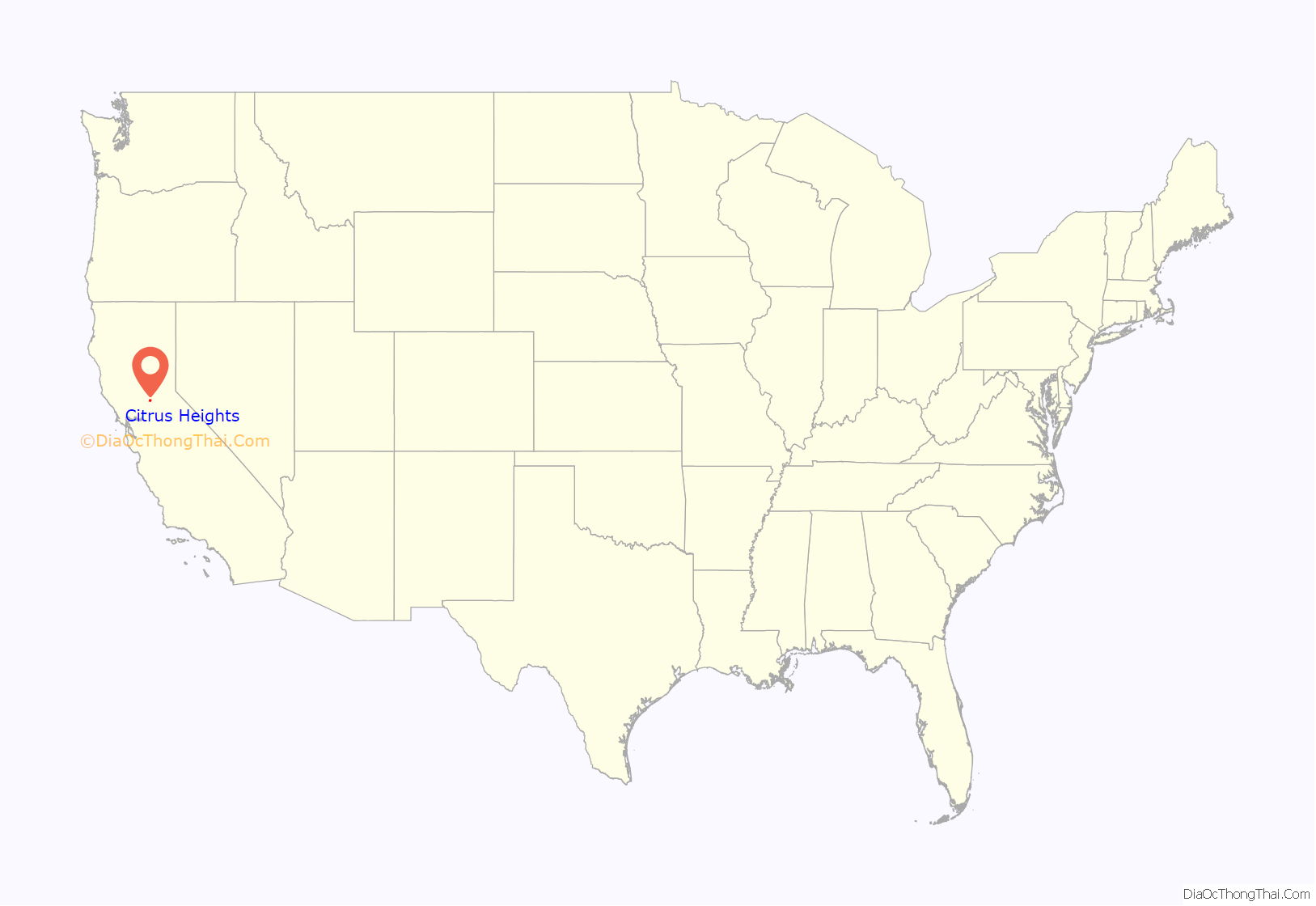
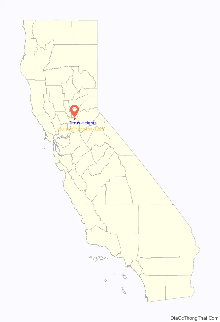
Citrus Heights location map. Where is Citrus Heights city?
History
Citrus Heights voters approved the measure to incorporate the City on November 5, 1996, effective January 1, 1997. The measure won, with 62.5% of the votes. The city incorporated on January 2, 1997 (January 1 according to the official city website), becoming the fifth city in Sacramento County.
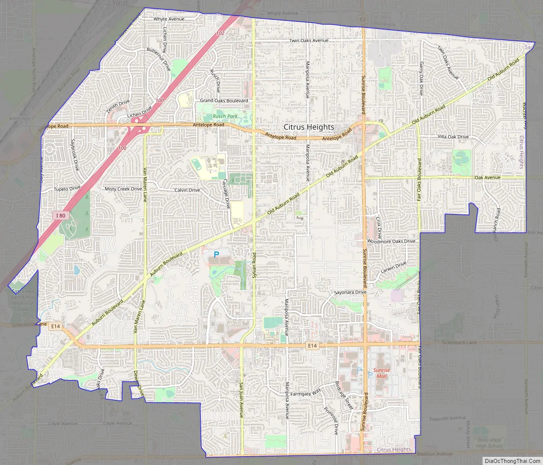
Citrus Heights Road Map
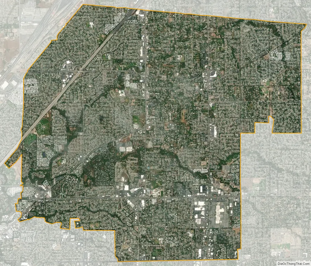
Citrus Heights city Satellite Map
Geography
According to the United States Census Bureau, the city has a total area of 14.22 square miles (36.8 km), all land.
Climate
Citrus Heights has a climate that is characterized by mild winters and dry hotter summers. The area usually has a low humidity and the average temperature throughout the year is 68 Fahrenheit, with the daily average ranging from 45° in December and January to 76° in July. Average daily high temperatures range from 53° in December and January to 93° in July. Average daily low temperatures range from 38° to 58°. The average year has 73 days with a high over 90°, with the highest temperature on record being 114° on July 17, 1925, and 18 days when the low drops below 32°, with the coldest one day record being December 11, 1932, at 17°.
Average yearly precipitation is 24.61 inches according to weather.com (, 2018). Almost no rain falls during the summer months (less than 1%), and over 80% falls between November and March. 3.47″, 3.39″, 4.46″, and 4.34″ per month respectively, though rainfall can be much greater than average. On average, 96 days in the year have fog, mostly in the morning, primarily in December and January. Typically, Citrus Heights enjoys 268 sunny days throughout the year.
See also
Map of California State and its subdivision:- Alameda
- Alpine
- Amador
- Butte
- Calaveras
- Colusa
- Contra Costa
- Del Norte
- El Dorado
- Fresno
- Glenn
- Humboldt
- Imperial
- Inyo
- Kern
- Kings
- Lake
- Lassen
- Los Angeles
- Madera
- Marin
- Mariposa
- Mendocino
- Merced
- Modoc
- Mono
- Monterey
- Napa
- Nevada
- Orange
- Placer
- Plumas
- Riverside
- Sacramento
- San Benito
- San Bernardino
- San Diego
- San Francisco
- San Joaquin
- San Luis Obispo
- San Mateo
- Santa Barbara
- Santa Clara
- Santa Cruz
- Shasta
- Sierra
- Siskiyou
- Solano
- Sonoma
- Stanislaus
- Sutter
- Tehama
- Trinity
- Tulare
- Tuolumne
- Ventura
- Yolo
- Yuba
- Alabama
- Alaska
- Arizona
- Arkansas
- California
- Colorado
- Connecticut
- Delaware
- District of Columbia
- Florida
- Georgia
- Hawaii
- Idaho
- Illinois
- Indiana
- Iowa
- Kansas
- Kentucky
- Louisiana
- Maine
- Maryland
- Massachusetts
- Michigan
- Minnesota
- Mississippi
- Missouri
- Montana
- Nebraska
- Nevada
- New Hampshire
- New Jersey
- New Mexico
- New York
- North Carolina
- North Dakota
- Ohio
- Oklahoma
- Oregon
- Pennsylvania
- Rhode Island
- South Carolina
- South Dakota
- Tennessee
- Texas
- Utah
- Vermont
- Virginia
- Washington
- West Virginia
- Wisconsin
- Wyoming


