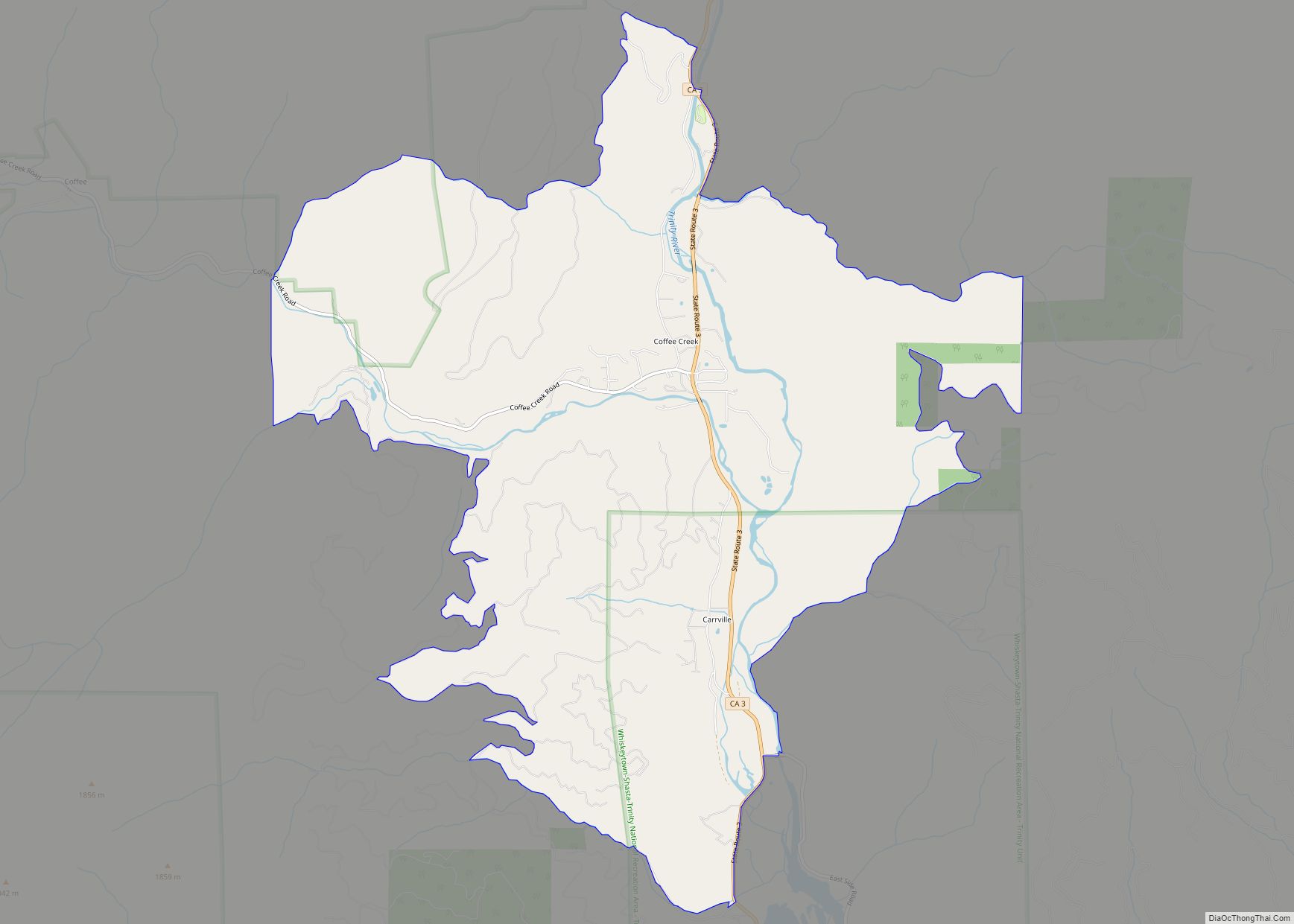
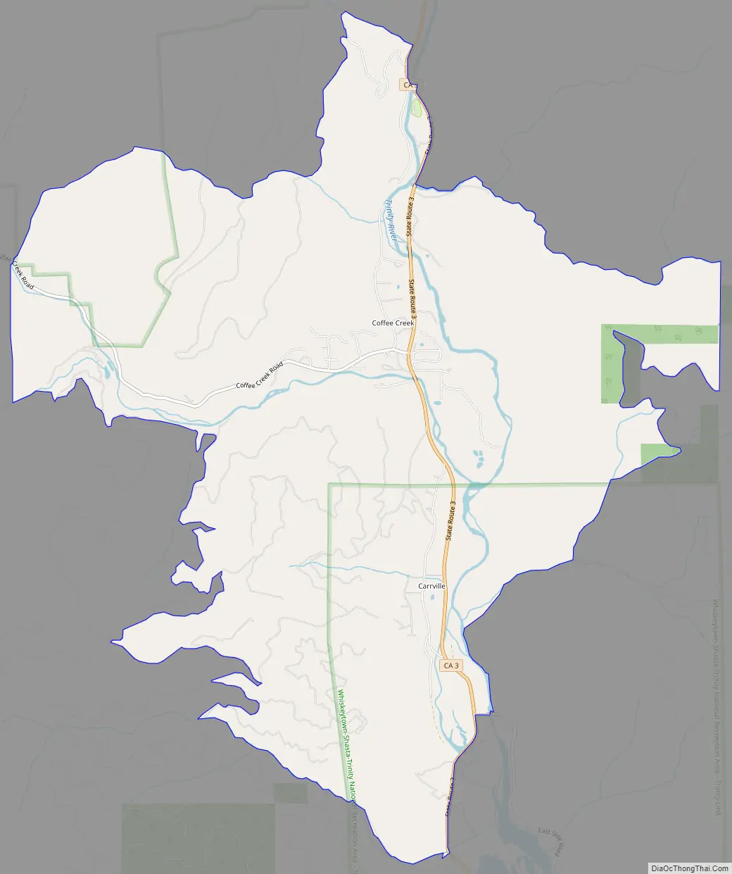
Coffee Creek is a census-designated place located within Trinity County in the U.S. state of California. It is located just north of where Coffee Creek flows into the Trinity River along Highway 3 and is the most northern community in Trinity County. It contains the Coffee Creek elementary school. Coffee Creek Road originates at Highway 3 offering access to the interior of the Trinity Alps; the road is 20 miles long, dirt and only for high clearance vehicles. Coffee Creek sits at an elevation of 2,495 feet (760 m). Its population is 152 as of the 2020 census, down from 217 from the 2010 census.
| Name: | Coffee Creek CDP |
|---|---|
| LSAD Code: | 57 |
| LSAD Description: | CDP (suffix) |
| State: | California |
| County: | Trinity County |
| Elevation: | 3,068 ft (935 m) |
| Total Area: | 11.54 sq mi (29.88 km²) |
| Land Area: | 11.52 sq mi (29.83 km²) |
| Water Area: | 0.02 sq mi (0.05 km²) 0.16% |
| Total Population: | 152 |
| Population Density: | 13.20/sq mi (5.09/km²) |
| ZIP code: | 96091 |
| Area code: | 530 |
| FIPS code: | 0614406 |
Online Interactive Map
Click on ![]() to view map in "full screen" mode.
to view map in "full screen" mode.
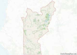
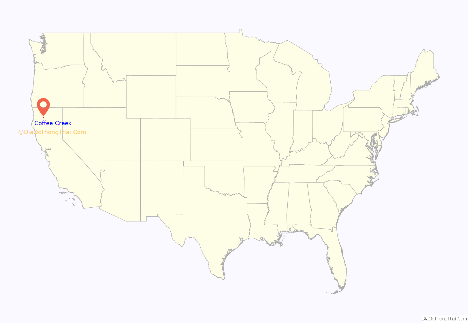
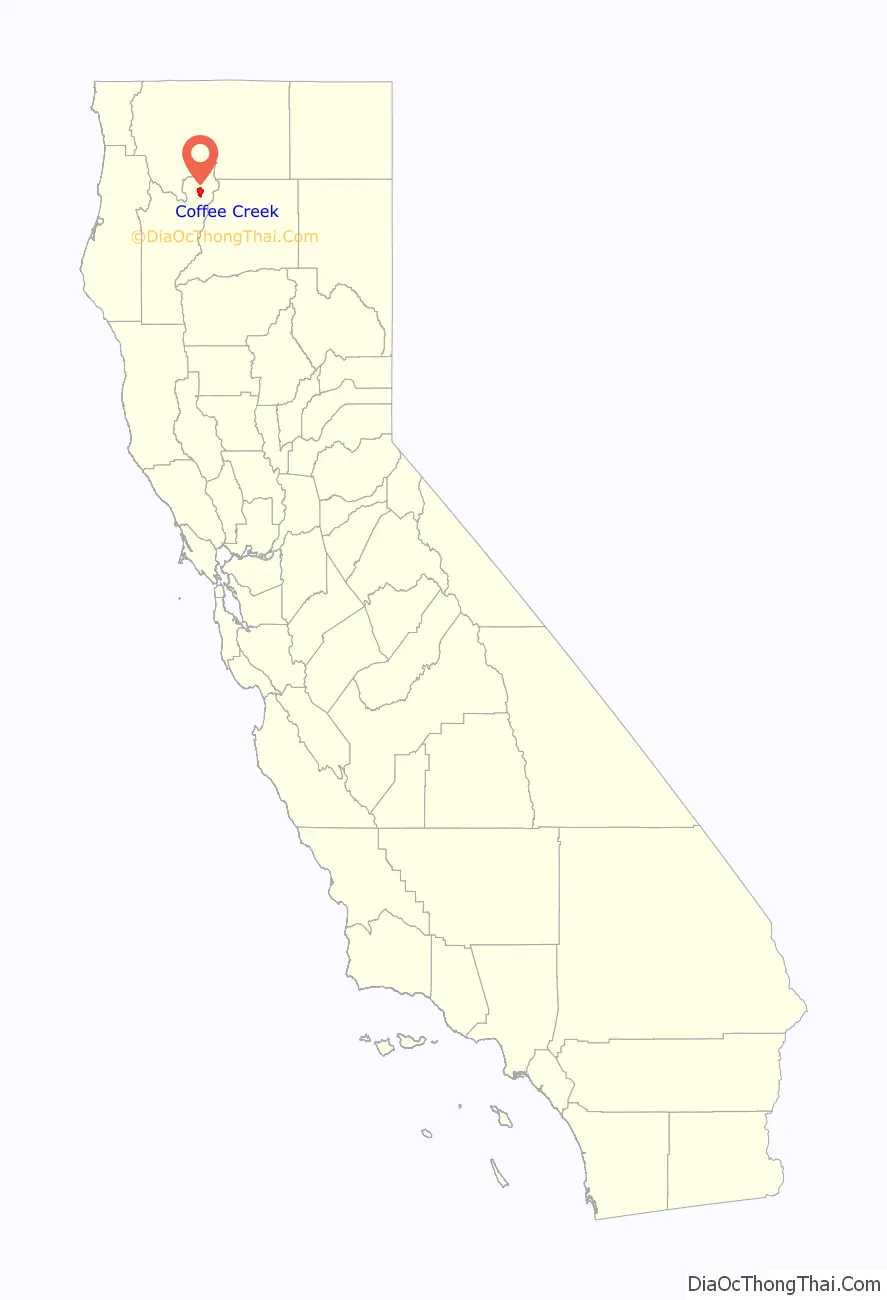
Coffee Creek location map. Where is Coffee Creek CDP?
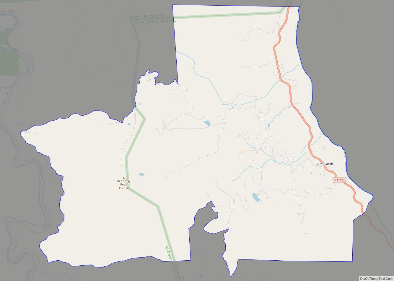
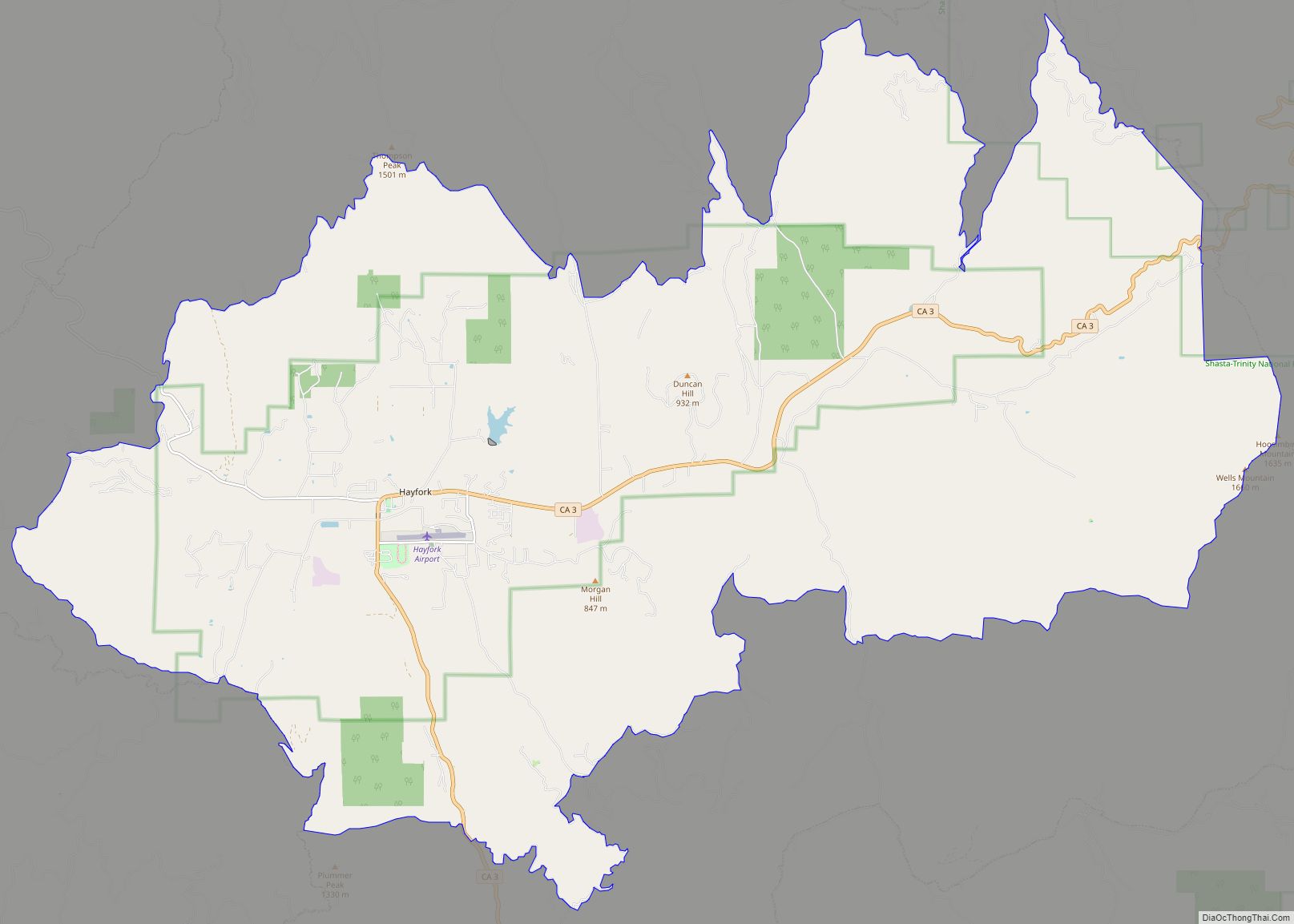
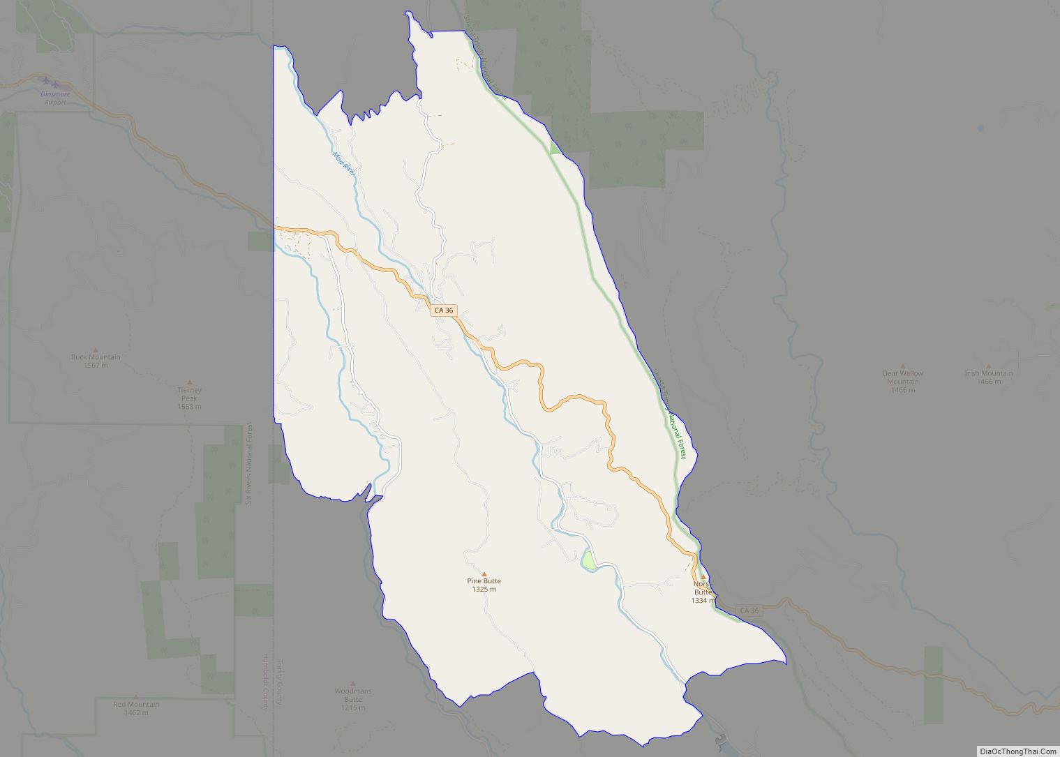
Coffee Creek Road Map
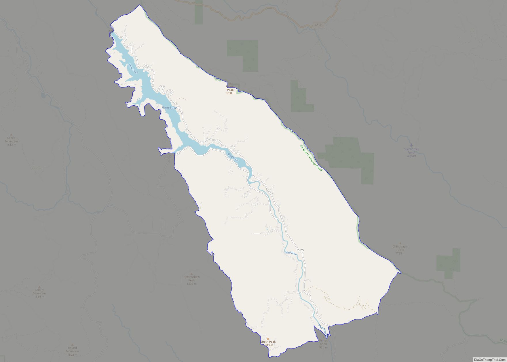
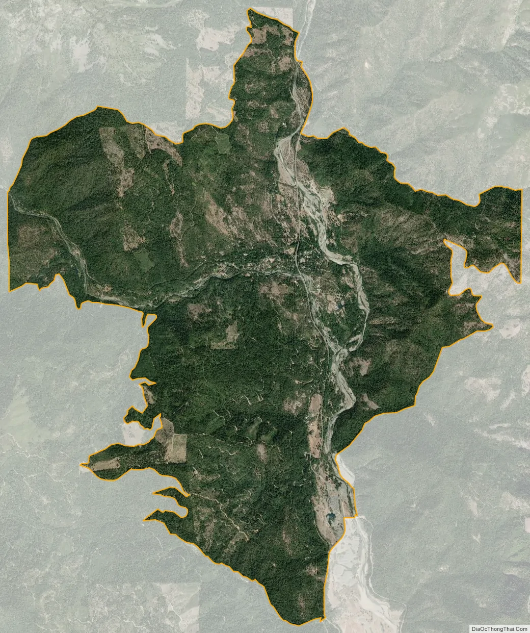
Coffee Creek city Satellite Map
Geography
According to the United States Census Bureau, the CDP covers an area of 11.5 square miles (29.9 km), 99.84% of it land and 0.16% of it water.
See also
Map of California State and its subdivision:- Alameda
- Alpine
- Amador
- Butte
- Calaveras
- Colusa
- Contra Costa
- Del Norte
- El Dorado
- Fresno
- Glenn
- Humboldt
- Imperial
- Inyo
- Kern
- Kings
- Lake
- Lassen
- Los Angeles
- Madera
- Marin
- Mariposa
- Mendocino
- Merced
- Modoc
- Mono
- Monterey
- Napa
- Nevada
- Orange
- Placer
- Plumas
- Riverside
- Sacramento
- San Benito
- San Bernardino
- San Diego
- San Francisco
- San Joaquin
- San Luis Obispo
- San Mateo
- Santa Barbara
- Santa Clara
- Santa Cruz
- Shasta
- Sierra
- Siskiyou
- Solano
- Sonoma
- Stanislaus
- Sutter
- Tehama
- Trinity
- Tulare
- Tuolumne
- Ventura
- Yolo
- Yuba
- Alabama
- Alaska
- Arizona
- Arkansas
- California
- Colorado
- Connecticut
- Delaware
- District of Columbia
- Florida
- Georgia
- Hawaii
- Idaho
- Illinois
- Indiana
- Iowa
- Kansas
- Kentucky
- Louisiana
- Maine
- Maryland
- Massachusetts
- Michigan
- Minnesota
- Mississippi
- Missouri
- Montana
- Nebraska
- Nevada
- New Hampshire
- New Jersey
- New Mexico
- New York
- North Carolina
- North Dakota
- Ohio
- Oklahoma
- Oregon
- Pennsylvania
- Rhode Island
- South Carolina
- South Dakota
- Tennessee
- Texas
- Utah
- Vermont
- Virginia
- Washington
- West Virginia
- Wisconsin
- Wyoming