Corte Madera (/ˈkɔːrtə məˈdɛrə/; Spanish for “Chop Wood”) is an incorporated town in Marin County, California. Corte Madera is located 3.25 miles (5.2 km) south of San Rafael, at an elevation of 39 feet (12 m). The population was 10,222 at the 2020 census. The town was named after the Spanish imperative command “chop wood”, as the area was famous for producing redwood tree lumber which was used in the construction of the city of San Francisco.
| Name: | Corte Madera town |
|---|---|
| LSAD Code: | 43 |
| LSAD Description: | town (suffix) |
| State: | California |
| County: | Marin County |
| Incorporated: | June 10, 1916 |
| Elevation: | 39 ft (12 m) |
| Total Area: | 4.40 sq mi (11.40 km²) |
| Land Area: | 3.16 sq mi (8.18 km²) |
| Water Area: | 1.24 sq mi (3.22 km²) 28.19% |
| Total Population: | 10,222 |
| Population Density: | 3,234.81/sq mi (1,248.89/km²) |
| FIPS code: | 0616462 |
| Website: | www.townofcortemadera.org |
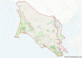
Online Interactive Map
Click on ![]() to view map in "full screen" mode.
to view map in "full screen" mode.
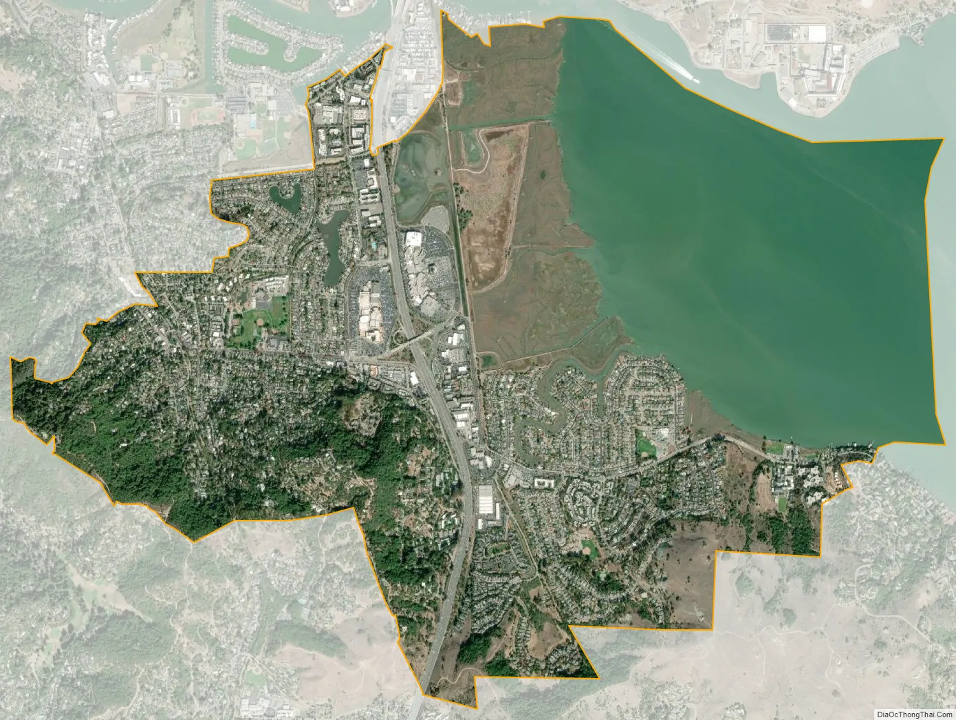
Corte Madera location map. Where is Corte Madera town?
History
The first post office in Corte Madera opened in 1878, and closed in 1880. The Adams post office opened in 1902, and changed its name later that year to Corte Madera. The name Adams honored Jerry Adams, its first postmaster. Corte Madera incorporated in 1916.
The town of Corte Madera is situated on a portion of Rancho Corte Madera del Presidio granted to John Reed in 1834 by Mexican Governor José Figueroa. Reed quickly took to the lumber industry, logging the area’s immense supply of redwoods and shipping the lumber to San Francisco by way of Corte Madera Creek — some of this wood was used to build the Presidio in San Francisco; the town’s growth continued.
In 1850, California joined the Union, and the Gold Rush, by then a year old, brought more settlers to the area. By 1875, the North Pacific Coast Railroad set its tracks through Corte Madera, allowing flatcars to haul lumber, and later, passenger trains to service commuters to and from San Francisco, aided in its early stages by the Sausalito ferry. A few of those commuters significantly influenced the formation of Old Town.
In 1885, a New England lawyer, Frank Morrison Pixley, was guaranteed a title for 160 acres (0.65 km) from Reed’s daughter, Hilarita. (Pixley later practiced law in San Francisco, became involved in local politics and founded an esteemed magazine called The Argonaut, whose writers included Mark Twain and Ambrose Bierce.) The Pixley family was credited with creating Corte Madera’s first subdivision and with developing downtown. The population continued to grow (eventually exploding after construction of the Golden Gate Bridge was completed in 1937).
The first business structure in Corte Madera was a hotel and tavern just south of the train station, built by Jerry Adams of Switzerland in 1898. The three-story building still exists today on First Street, between Corte Madera Avenue and Montecito Drive, and these days houses a beauty salon, an architectural sheet metal firm and a number of residential apartments. A smaller barn-like building constructed around that time behind the Adams’s hotel went through its evolution as a hardware store, a mattress place, an antique shop, a design studio, a gallery and a neighborhood video store. Today it is a textile arts studio and Swedish textile home products store.
Across from the railroad station, a huge barn was built in 1898, and was used as a livery stable, handy for horses to haul goods from nearby mines and for local freight delivery from the trains. In 1906, it then operated as Buckley & Co. general store for the next 50 years. After renovations, the barn exists today at the corner of Tamalpais Drive and Serra Street as a luxurious spa and full-service beauty salon.
In 1905, Del Mahood came to Corte Madera to be the railroad agent and stationmaster. He was also a telegrapher and, along with his brother Foster, Del operated the local telephone agency, the post office and a sweets shop in their building next to the Episcopal Church. The Mahoods’ building still stands, over a century later, on Redwood Avenue. Other buildings remain from that era: the dramatic triangular-peaked Holy Innocents church built in 1901 at the northeastern corner of Old Corte Madera Square still stands, as does the Presbyterian Church built on the old road above the square around the same time. Across from the Holy Innocents Episcopal Church, two stucco structures were built in the early 1900s. That property, featuring a creamery and an automobile repair shop, now exists as a yoga studio. Most of the remaining buildings around the historical village square went up in the 1920s and ’30s.
The square around the train station was the original center of Corte Madera, around which everything bloomed. Established in 1916 and preserved by the Women’s Club, Railroad Park is located in the northwest quadrant of the old train station square. It was renamed Menke Park in the early 1950s after the town leased the property from the railroad and took over maintenance of the land. Several homes constructed during that time pay tribute to the New England-influenced architecture of the late 1880s, and can still be seen in the Old Square’s surrounding neighborhoods.
The hill at the base of Corte Madera is called Christmas Tree Hill because the early street lights (and later, the lighted homes) on the hill leading up to Mt. Tamalpais create the shape of a lighted Christmas tree.
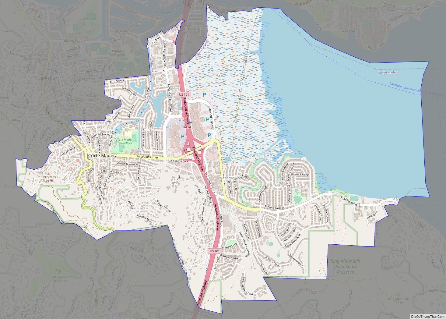
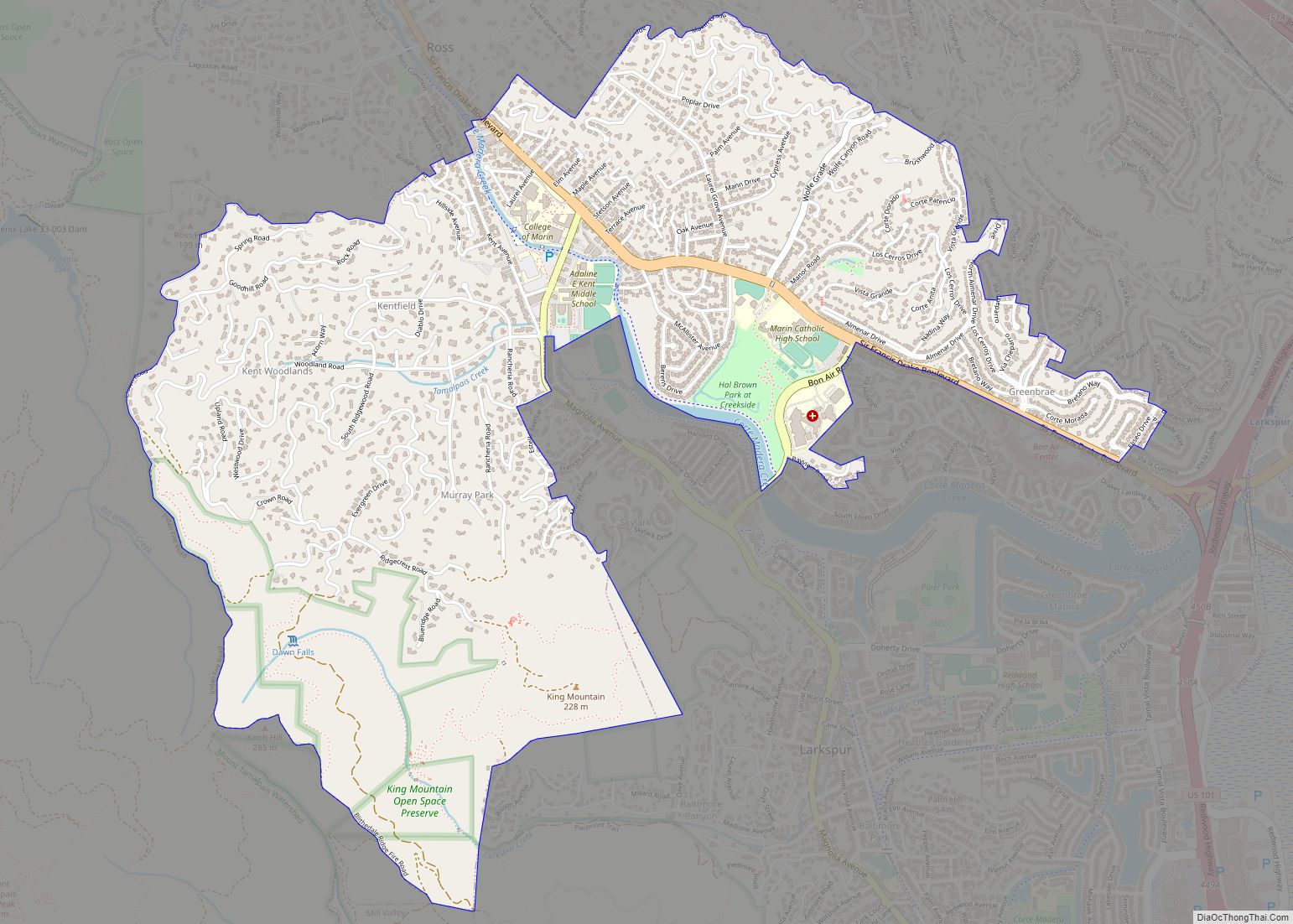
Corte Madera Road Map
Corte Madera city Satellite Map
Geography
According to the U.S. Census Bureau, the city has a total area of 4.4 square miles (11 km), of which 3.2 square miles (8.3 km) of it is land and 1.2 square miles (3.1 km) of it (28.19%) is water.
See also
Map of California State and its subdivision:- Alameda
- Alpine
- Amador
- Butte
- Calaveras
- Colusa
- Contra Costa
- Del Norte
- El Dorado
- Fresno
- Glenn
- Humboldt
- Imperial
- Inyo
- Kern
- Kings
- Lake
- Lassen
- Los Angeles
- Madera
- Marin
- Mariposa
- Mendocino
- Merced
- Modoc
- Mono
- Monterey
- Napa
- Nevada
- Orange
- Placer
- Plumas
- Riverside
- Sacramento
- San Benito
- San Bernardino
- San Diego
- San Francisco
- San Joaquin
- San Luis Obispo
- San Mateo
- Santa Barbara
- Santa Clara
- Santa Cruz
- Shasta
- Sierra
- Siskiyou
- Solano
- Sonoma
- Stanislaus
- Sutter
- Tehama
- Trinity
- Tulare
- Tuolumne
- Ventura
- Yolo
- Yuba
- Alabama
- Alaska
- Arizona
- Arkansas
- California
- Colorado
- Connecticut
- Delaware
- District of Columbia
- Florida
- Georgia
- Hawaii
- Idaho
- Illinois
- Indiana
- Iowa
- Kansas
- Kentucky
- Louisiana
- Maine
- Maryland
- Massachusetts
- Michigan
- Minnesota
- Mississippi
- Missouri
- Montana
- Nebraska
- Nevada
- New Hampshire
- New Jersey
- New Mexico
- New York
- North Carolina
- North Dakota
- Ohio
- Oklahoma
- Oregon
- Pennsylvania
- Rhode Island
- South Carolina
- South Dakota
- Tennessee
- Texas
- Utah
- Vermont
- Virginia
- Washington
- West Virginia
- Wisconsin
- Wyoming


