Covelo (/ˈkoʊvəloʊ/ KOH-və-loh) is a census-designated place (CDP) in Mendocino County, California, United States. Covelo is located 14 miles (23 km) east-northeast of Laytonville, at an elevation of 1,398 feet (426 m). The population was 1,394 at the 2020 census, up from 1,255 at the 2010 census. 405 acres (1.64 km) of Covelo is part of the Round Valley Indian Reservation.
| Name: | Covelo CDP |
|---|---|
| LSAD Code: | 57 |
| LSAD Description: | CDP (suffix) |
| State: | California |
| County: | Mendocino County |
| Elevation: | 1,398 ft (426 m) |
| Total Area: | 7.14 sq mi (18.49 km²) |
| Land Area: | 7.09 sq mi (18.38 km²) |
| Water Area: | 0.04 sq mi (0.11 km²) 0.60% |
| Total Population: | 1,394 |
| Population Density: | 196.48/sq mi (75.86/km²) |
| ZIP code: | 95428 |
| Area code: | 707 |
| FIPS code: | 0616728 |
| GNISfeature ID: | 0277603 |
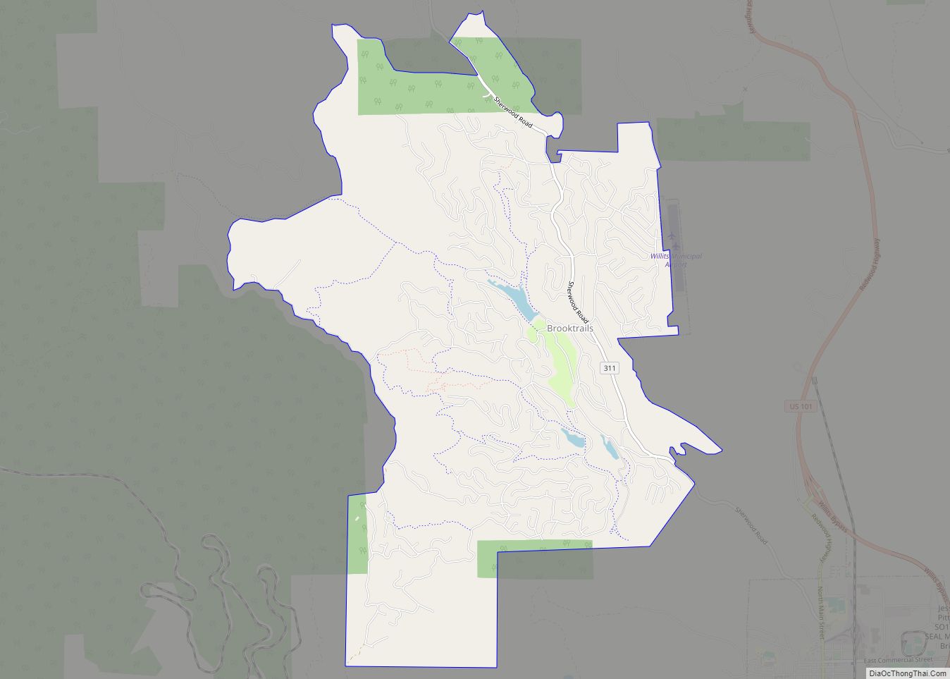
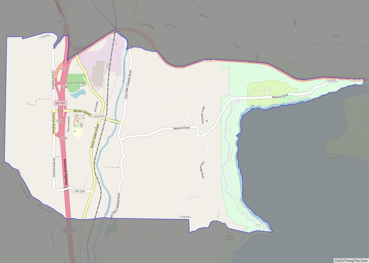
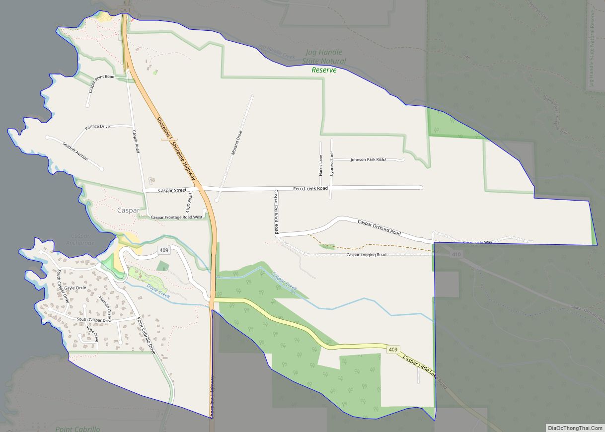
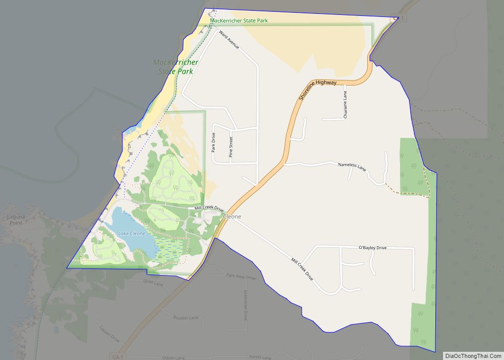
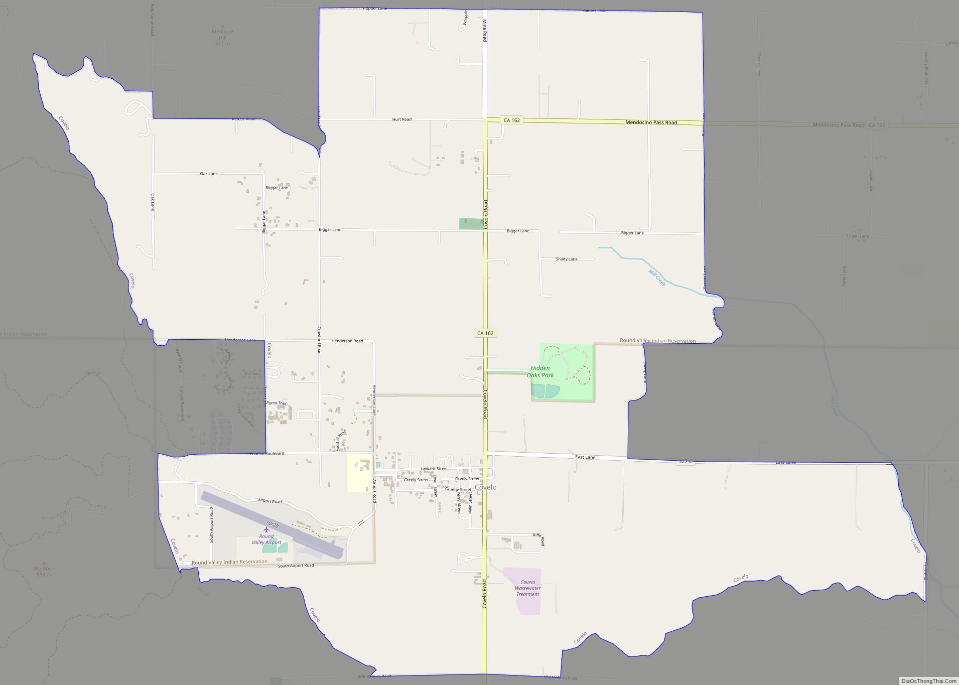
Online Interactive Map
Click on ![]() to view map in "full screen" mode.
to view map in "full screen" mode.
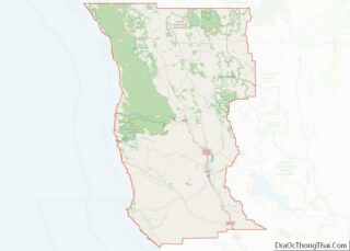
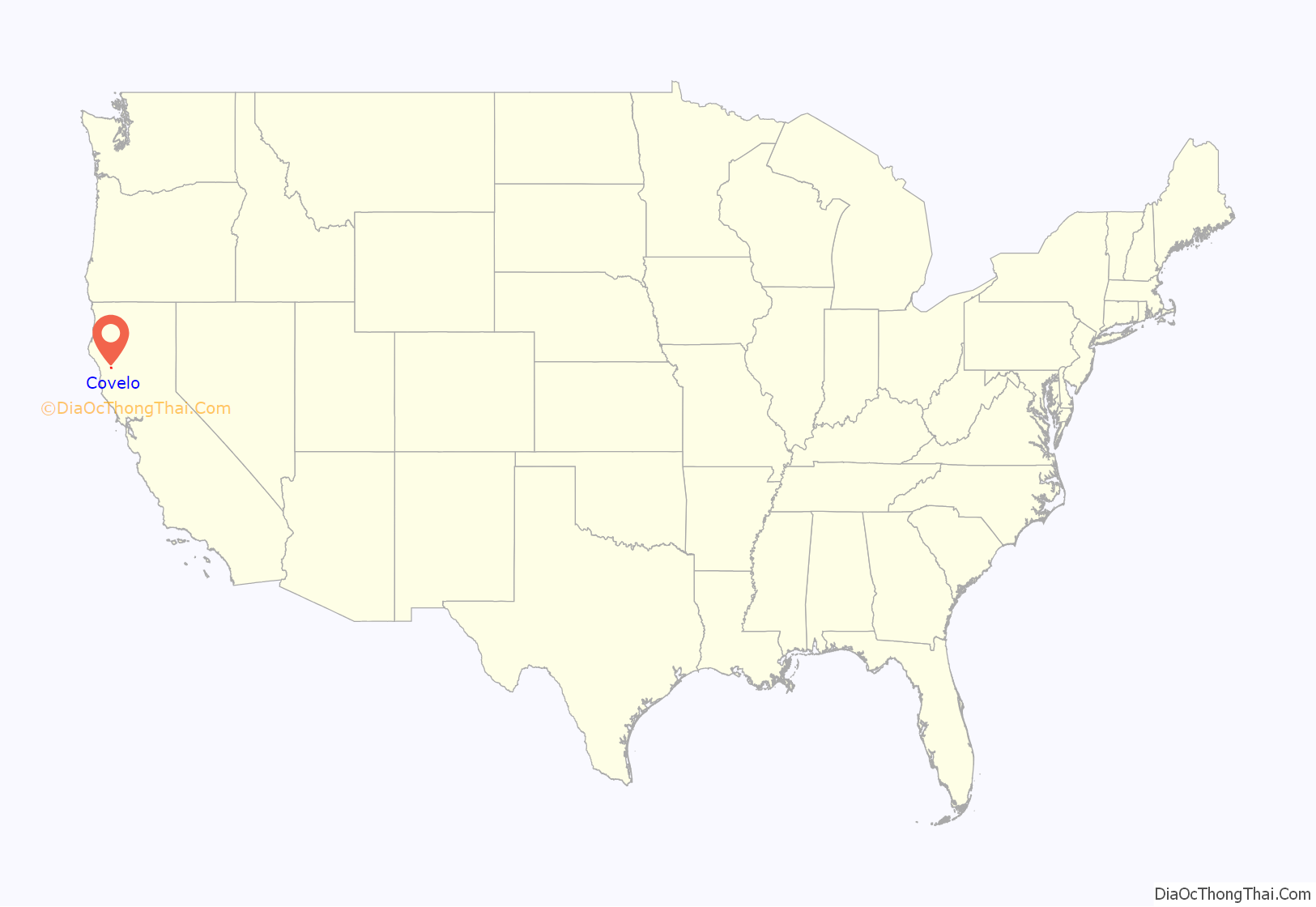
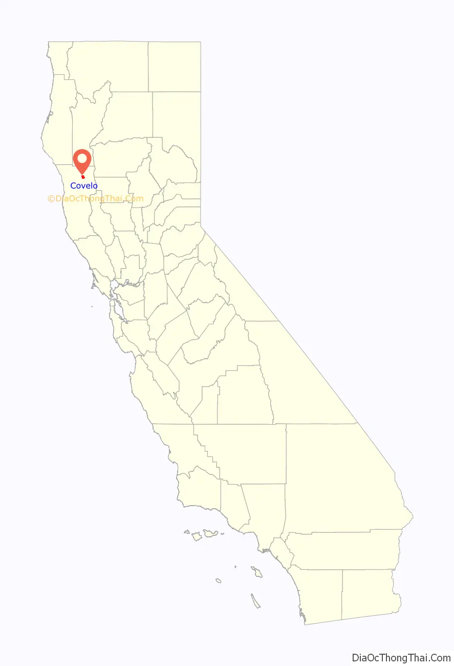
Covelo location map. Where is Covelo CDP?
History
Covelo began in 1860, with the opening of the town’s first store. The post office opened in 1870. Some sources claim that the town was named after a village in Switzerland. However, there is no village in Switzerland by that name. Covelo may be a misspelling of Covolo, a fort in Pederobba, Veneto, Italy, which is near Switzerland. Alternatively, it could be named after Covelo, a village in Galicia, Spain.
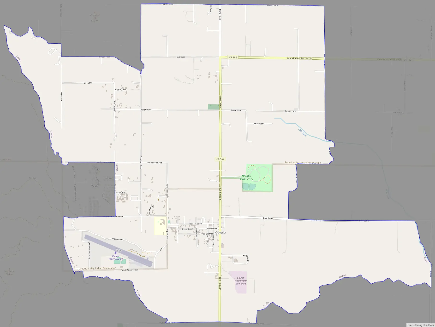
Covelo Road Map
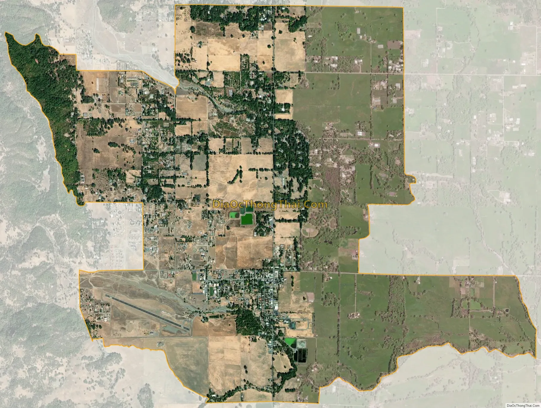
Covelo city Satellite Map
Geography
Covelo is located in northeastern Mendocino County at 39°47′35″N 123°14′53″W / 39.79306°N 123.24806°W / 39.79306; -123.24806. It is accessible via California State Route 162, which leads southwest 29 miles (47 km) to U.S. Route 101 at Longvale. To the east, Mendocino Pass Road (becoming Alder Springs Road) leads 66 miles (106 km) over the mountains of Mendocino National Forest to Elk Creek, for much of its length a gravel road.
According to the United States Census Bureau, the Covelo CDP has a total area of 7.1 square miles (18 km), 99.40% of it land and 0.60% of it water. Covelo and Round Valley are drained by Mill Creek, which flows east to the Middle Fork of the Eel River.
Covelo is the location of the Covelo American Viticultural Area.
See also
Map of California State and its subdivision:- Alameda
- Alpine
- Amador
- Butte
- Calaveras
- Colusa
- Contra Costa
- Del Norte
- El Dorado
- Fresno
- Glenn
- Humboldt
- Imperial
- Inyo
- Kern
- Kings
- Lake
- Lassen
- Los Angeles
- Madera
- Marin
- Mariposa
- Mendocino
- Merced
- Modoc
- Mono
- Monterey
- Napa
- Nevada
- Orange
- Placer
- Plumas
- Riverside
- Sacramento
- San Benito
- San Bernardino
- San Diego
- San Francisco
- San Joaquin
- San Luis Obispo
- San Mateo
- Santa Barbara
- Santa Clara
- Santa Cruz
- Shasta
- Sierra
- Siskiyou
- Solano
- Sonoma
- Stanislaus
- Sutter
- Tehama
- Trinity
- Tulare
- Tuolumne
- Ventura
- Yolo
- Yuba
- Alabama
- Alaska
- Arizona
- Arkansas
- California
- Colorado
- Connecticut
- Delaware
- District of Columbia
- Florida
- Georgia
- Hawaii
- Idaho
- Illinois
- Indiana
- Iowa
- Kansas
- Kentucky
- Louisiana
- Maine
- Maryland
- Massachusetts
- Michigan
- Minnesota
- Mississippi
- Missouri
- Montana
- Nebraska
- Nevada
- New Hampshire
- New Jersey
- New Mexico
- New York
- North Carolina
- North Dakota
- Ohio
- Oklahoma
- Oregon
- Pennsylvania
- Rhode Island
- South Carolina
- South Dakota
- Tennessee
- Texas
- Utah
- Vermont
- Virginia
- Washington
- West Virginia
- Wisconsin
- Wyoming