Cutten, a census-designated place (CDP) in Humboldt County, California, United States, is an unincorporated community, which is part of Greater Eureka. The city was named for David Page Cutten and his family, who were prominent figures in the history of Humboldt County during the early 1850s. Cutten is located 2.5 miles (4 km) south-southeast of downtown Eureka, at an elevation of 200 feet (61 m). Its population is 3,223 as of the 2020 census, up from 3,108 from the 2010 census.
| Name: | Cutten CDP |
|---|---|
| LSAD Code: | 57 |
| LSAD Description: | CDP (suffix) |
| State: | California |
| County: | Humboldt County |
| Elevation: | 200 ft (61 m) |
| Total Area: | 1.28 sq mi (3.32 km²) |
| Land Area: | 1.28 sq mi (3.32 km²) |
| Water Area: | 0.00 sq mi (0.00 km²) 0% |
| Total Population: | 3,223 |
| Population Density: | 2,516.00/sq mi (971.26/km²) |
| ZIP code: | 95503, 95534 |
| Area code: | 707 |
| FIPS code: | 0617722 |
| GNISfeature ID: | 1655945 |
Online Interactive Map
Click on ![]() to view map in "full screen" mode.
to view map in "full screen" mode.
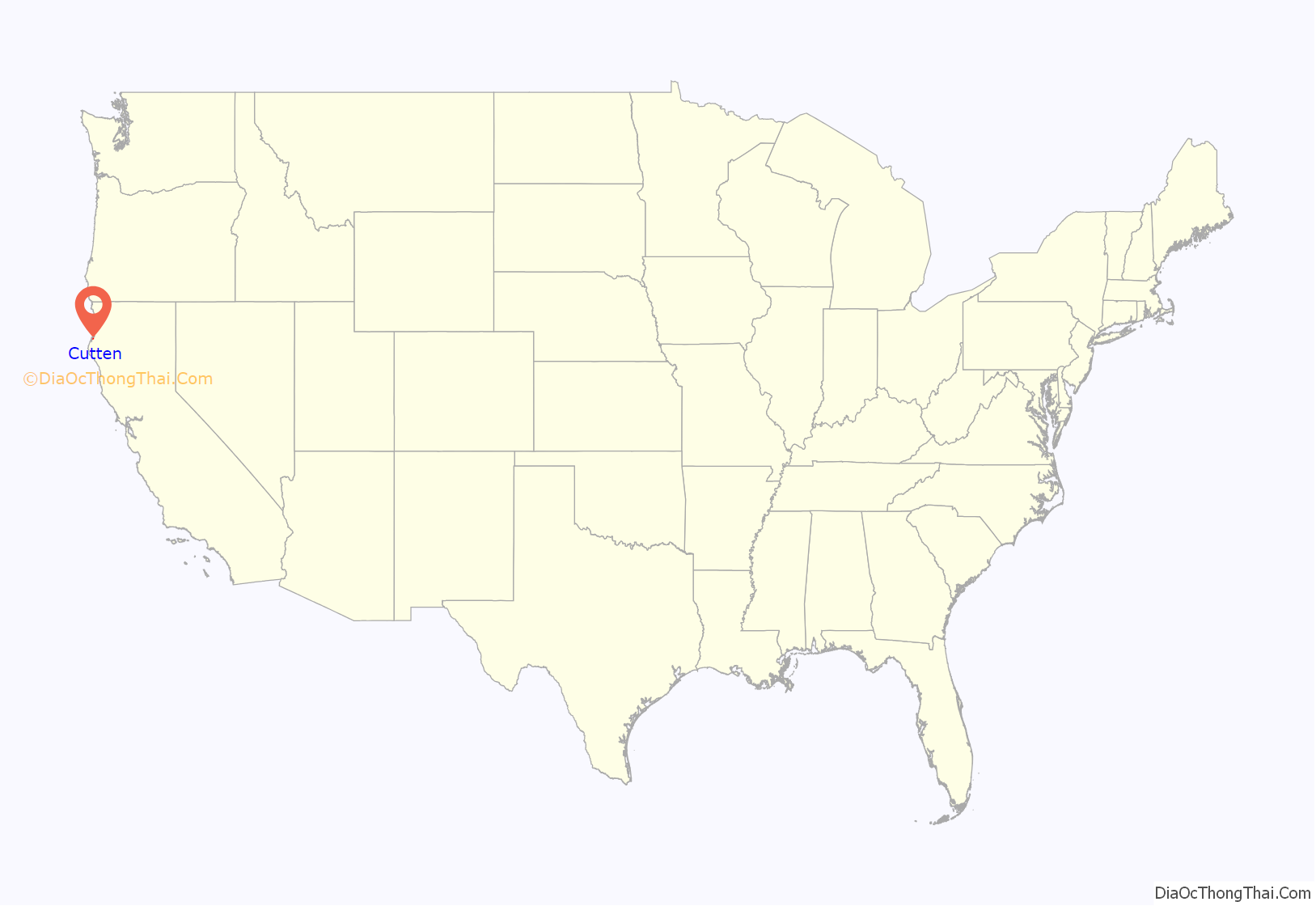
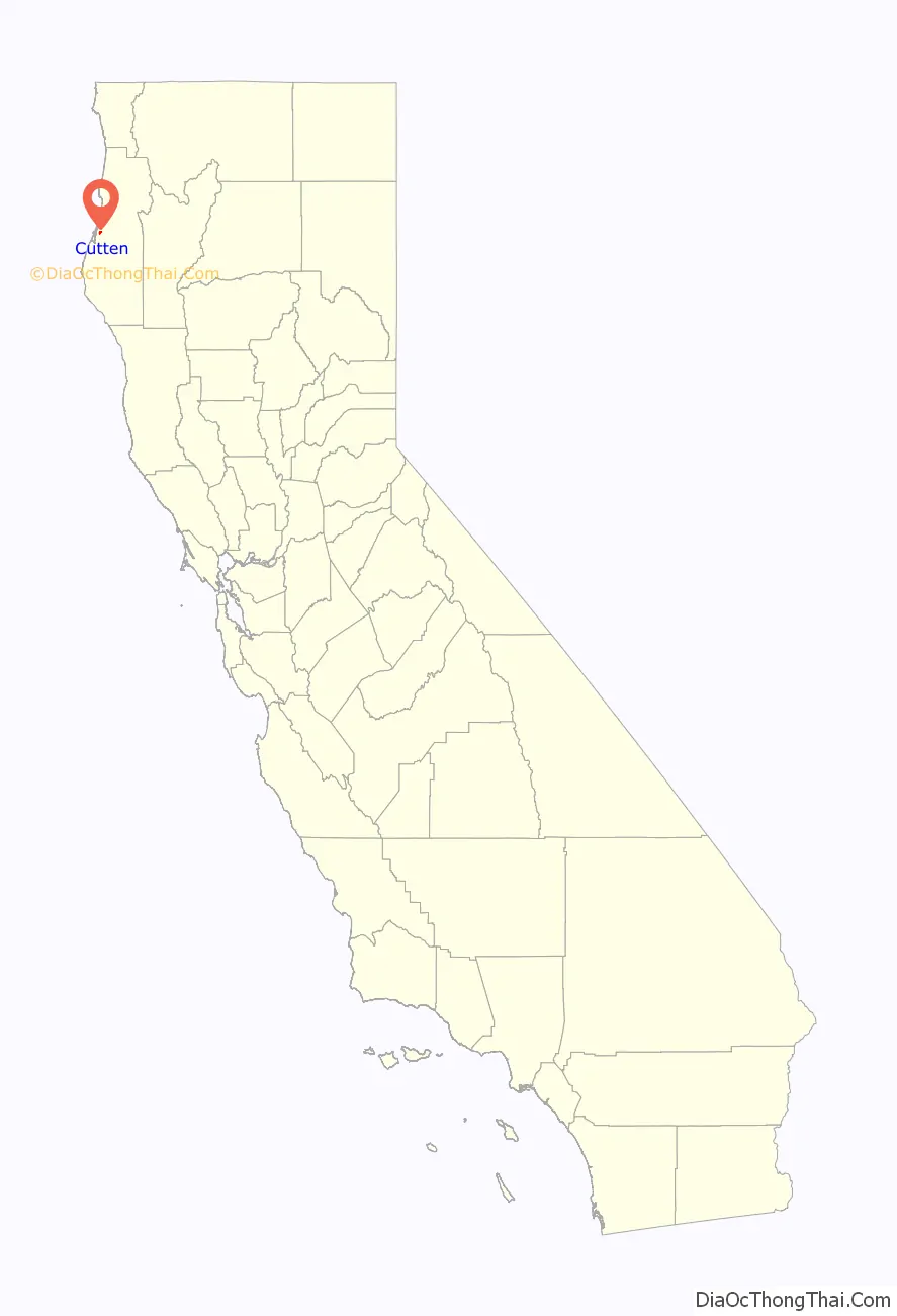
Cutten location map. Where is Cutten CDP?
History
The first post office at Cutten opened in 1929. An early name for the area was the Cutten-McDonald Tract. The ZIP Code is 95534. However, the 95534 zip code is specific to the post office only and all physical addresses within the CDP have the Eureka, California 95503 zip code.
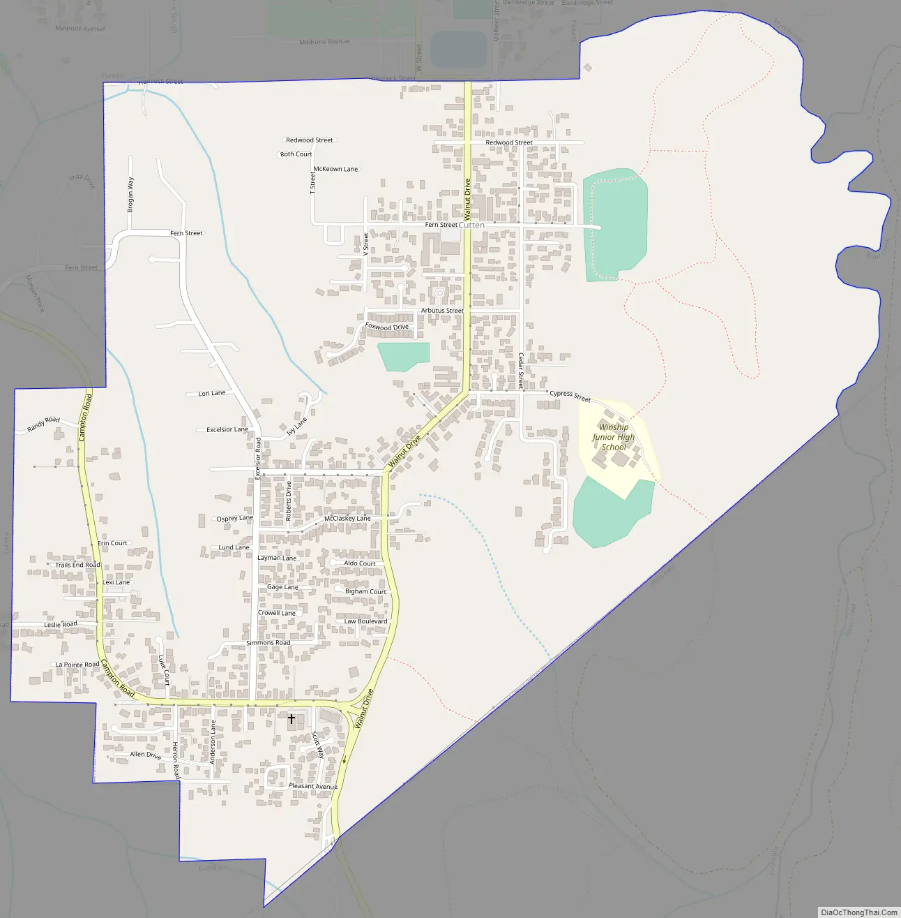
Cutten Road Map
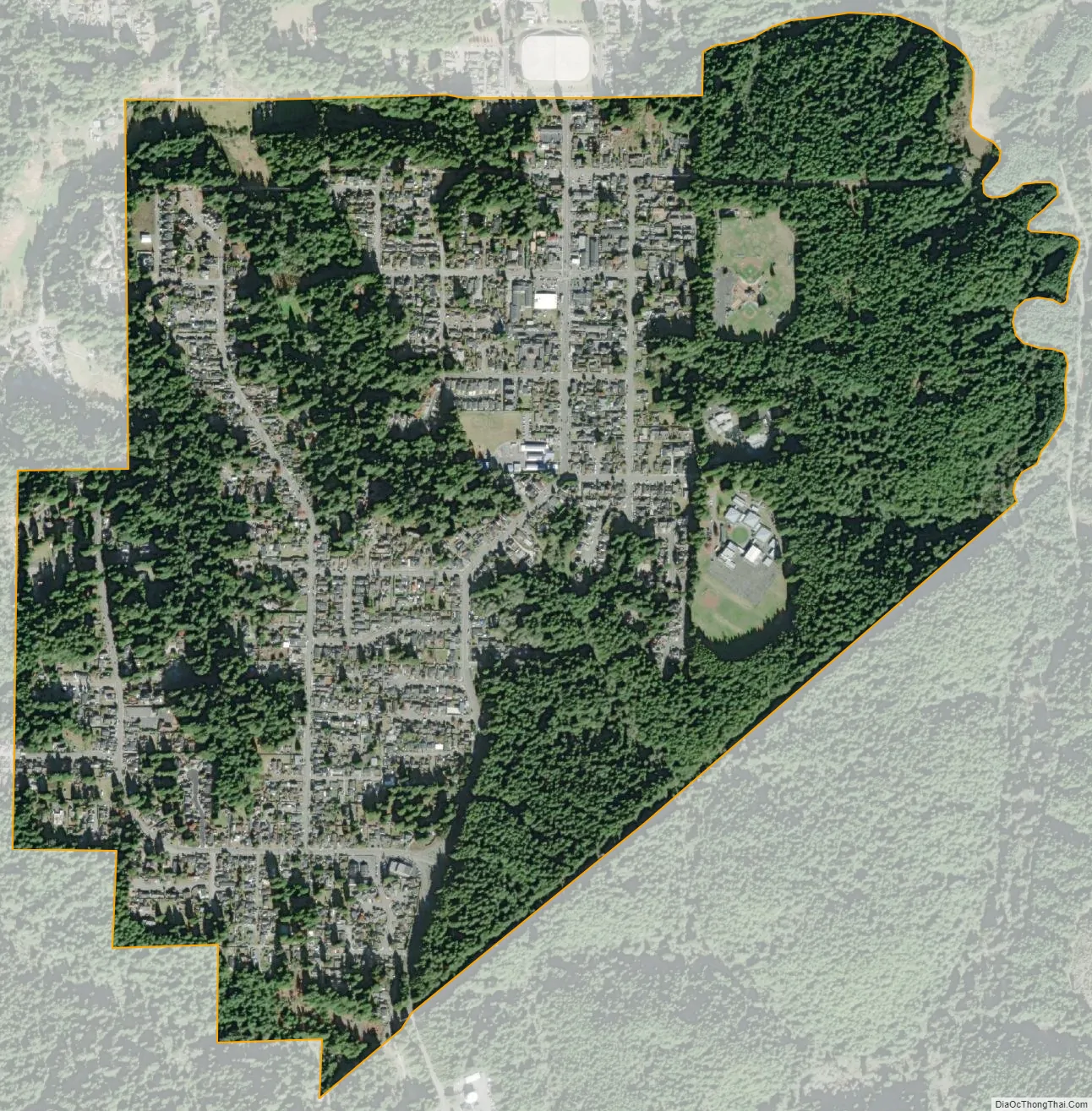
Cutten city Satellite Map
Geography
According to the United States Census Bureau, the CDP has a total area of 1.3 square miles (3.4 km), all of it land.
See also
Map of California State and its subdivision:- Alameda
- Alpine
- Amador
- Butte
- Calaveras
- Colusa
- Contra Costa
- Del Norte
- El Dorado
- Fresno
- Glenn
- Humboldt
- Imperial
- Inyo
- Kern
- Kings
- Lake
- Lassen
- Los Angeles
- Madera
- Marin
- Mariposa
- Mendocino
- Merced
- Modoc
- Mono
- Monterey
- Napa
- Nevada
- Orange
- Placer
- Plumas
- Riverside
- Sacramento
- San Benito
- San Bernardino
- San Diego
- San Francisco
- San Joaquin
- San Luis Obispo
- San Mateo
- Santa Barbara
- Santa Clara
- Santa Cruz
- Shasta
- Sierra
- Siskiyou
- Solano
- Sonoma
- Stanislaus
- Sutter
- Tehama
- Trinity
- Tulare
- Tuolumne
- Ventura
- Yolo
- Yuba
- Alabama
- Alaska
- Arizona
- Arkansas
- California
- Colorado
- Connecticut
- Delaware
- District of Columbia
- Florida
- Georgia
- Hawaii
- Idaho
- Illinois
- Indiana
- Iowa
- Kansas
- Kentucky
- Louisiana
- Maine
- Maryland
- Massachusetts
- Michigan
- Minnesota
- Mississippi
- Missouri
- Montana
- Nebraska
- Nevada
- New Hampshire
- New Jersey
- New Mexico
- New York
- North Carolina
- North Dakota
- Ohio
- Oklahoma
- Oregon
- Pennsylvania
- Rhode Island
- South Carolina
- South Dakota
- Tennessee
- Texas
- Utah
- Vermont
- Virginia
- Washington
- West Virginia
- Wisconsin
- Wyoming


