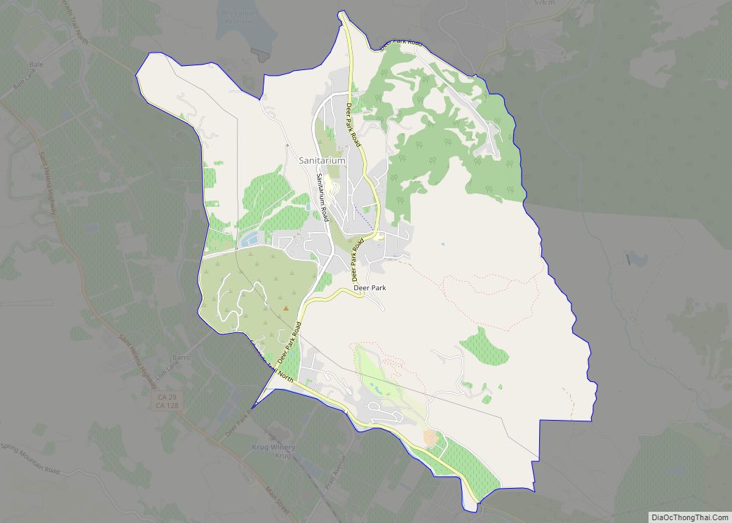
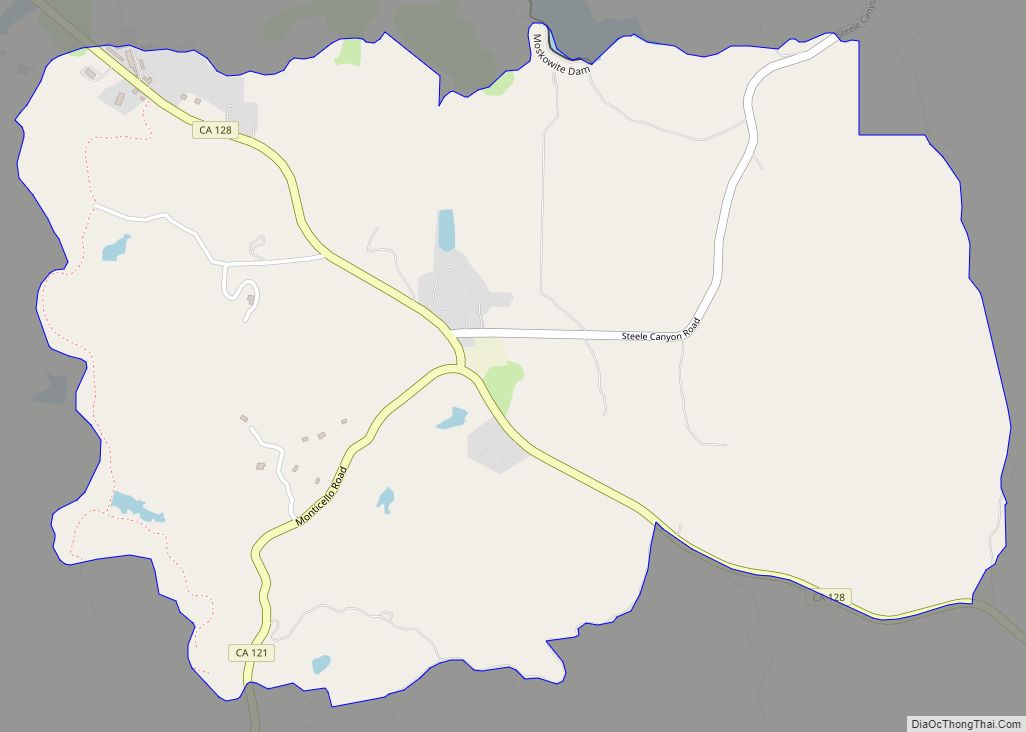
Deer Park is a census-designated place (CDP) in Napa County, California, United States. The population was 1,267 at the 2010 census. It is part of the Napa, California Metropolitan Statistical Area. Its area code is 707. Its zip code is 94576. It is in the Pacific time zone. Deer Creek is where Elmshaven, a large Victorian home lived in by Ellen White in the early twentieth century, is located.
| Name: | Deer Park CDP |
|---|---|
| LSAD Code: | 57 |
| LSAD Description: | CDP (suffix) |
| State: | California |
| County: | Napa County |
| Elevation: | 568 ft (173 m) |
| Total Area: | 5.62 sq mi (14.56 km²) |
| Land Area: | 5.62 sq mi (14.55 km²) |
| Water Area: | 0.00 sq mi (0.01 km²) 0.07% |
| Total Population: | 1,294 |
| Population Density: | 230.33/sq mi (88.94/km²) |
| ZIP code: | 94576 |
| Area code: | 707 |
| FIPS code: | 0618324 |
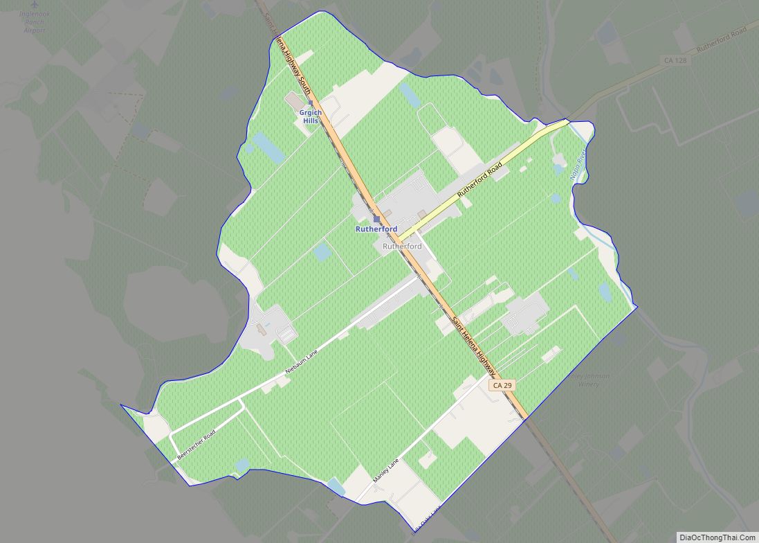
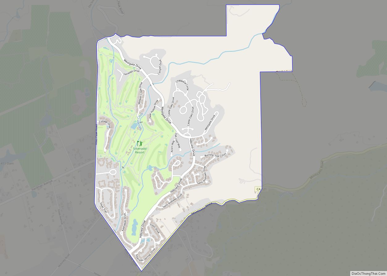
Online Interactive Map
Click on ![]() to view map in "full screen" mode.
to view map in "full screen" mode.
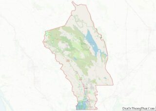
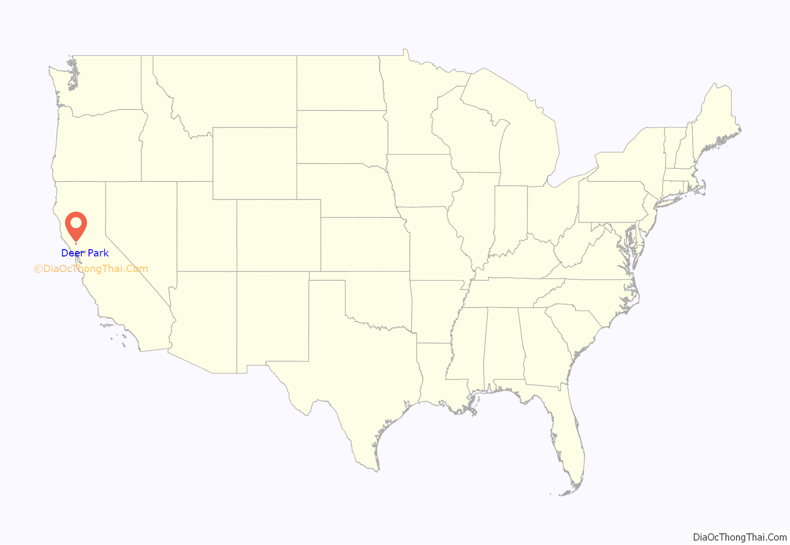
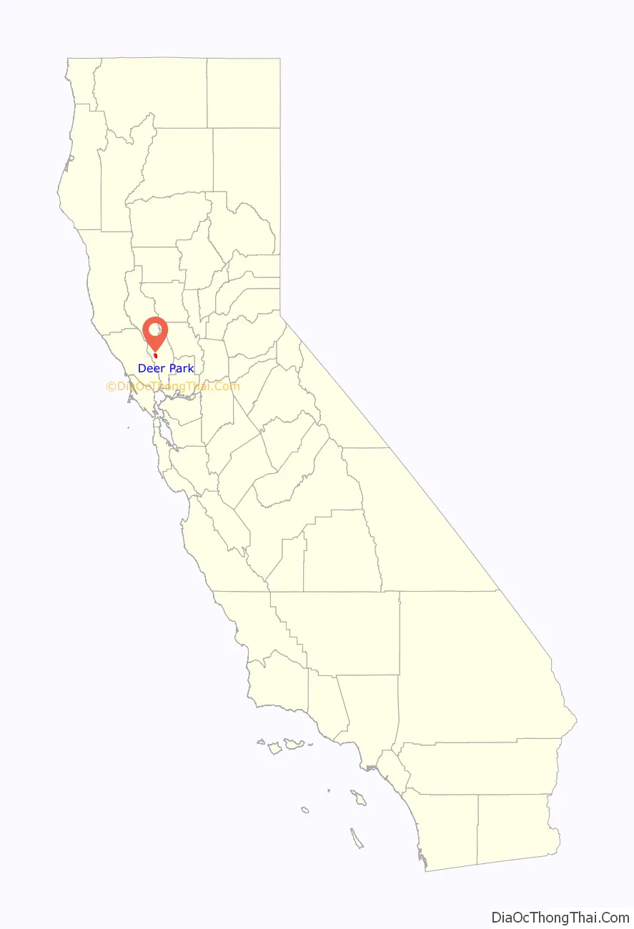
Deer Park location map. Where is Deer Park CDP?
History
In August 2020, Deer Park was evacuated due to the Hennessey Fire, which resulted in the burning of over 315,000 acres (127,476 ha) in five counties, including near Deer Park.
The Glass Fire caused significant damage throughout Deer Park in late September 2020, destroying numerous houses as well as much of the Foothills Adventist Elementary School.
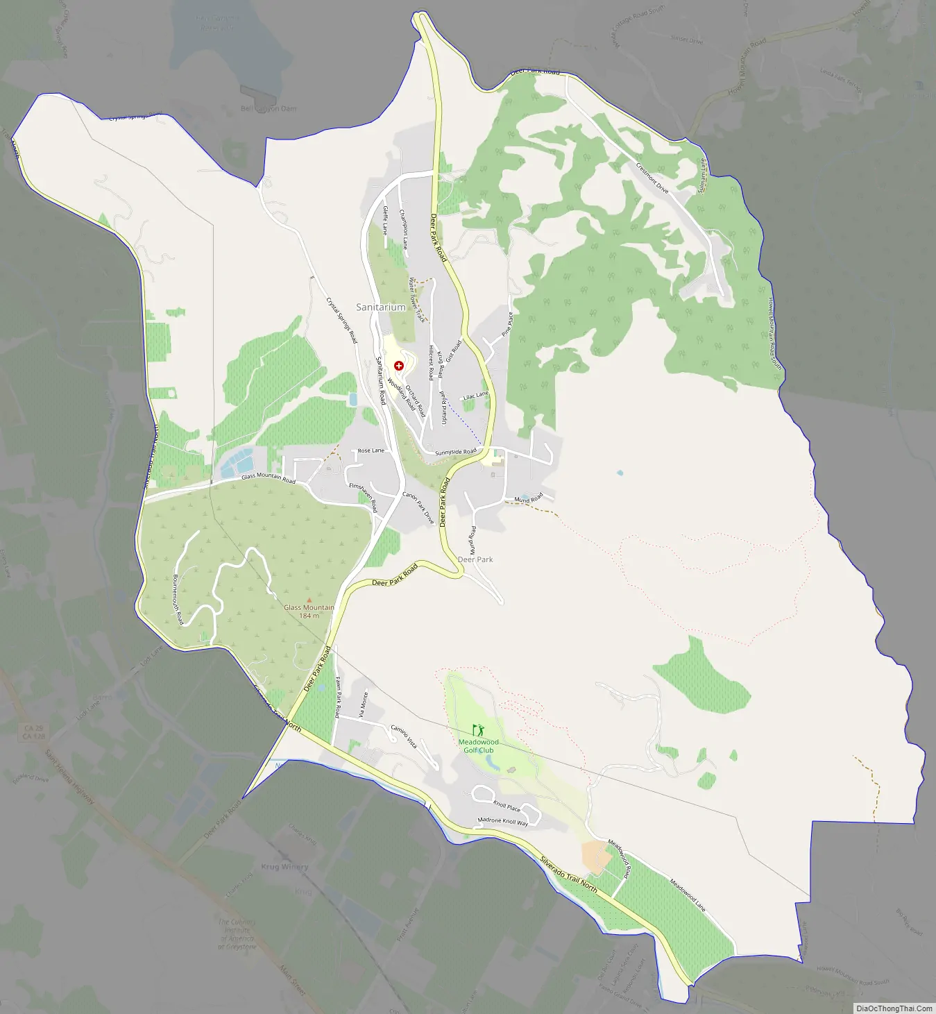
Deer Park Road Map
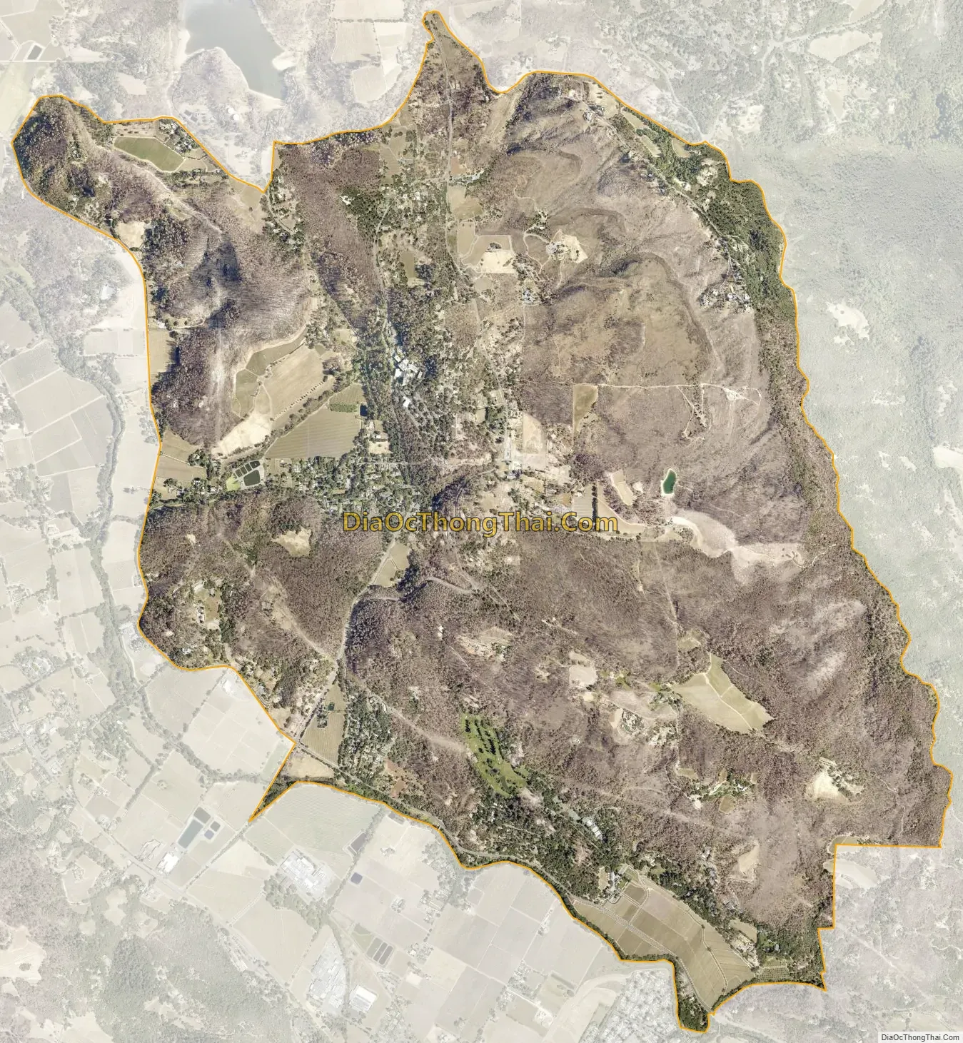
Deer Park city Satellite Map
Geography
Deer Park is located at 38°32′14″N 122°28′21″W / 38.53722°N 122.47250°W / 38.53722; -122.47250Coordinates: 38°32′14″N 122°28′21″W / 38.53722°N 122.47250°W / 38.53722; -122.47250 (38.537257, -122.472386).
According to the United States Census Bureau, the CDP has a total area of 5.6 square miles (15 km), 99.93% of it land and 0.07% of it water.
See also
Map of California State and its subdivision:- Alameda
- Alpine
- Amador
- Butte
- Calaveras
- Colusa
- Contra Costa
- Del Norte
- El Dorado
- Fresno
- Glenn
- Humboldt
- Imperial
- Inyo
- Kern
- Kings
- Lake
- Lassen
- Los Angeles
- Madera
- Marin
- Mariposa
- Mendocino
- Merced
- Modoc
- Mono
- Monterey
- Napa
- Nevada
- Orange
- Placer
- Plumas
- Riverside
- Sacramento
- San Benito
- San Bernardino
- San Diego
- San Francisco
- San Joaquin
- San Luis Obispo
- San Mateo
- Santa Barbara
- Santa Clara
- Santa Cruz
- Shasta
- Sierra
- Siskiyou
- Solano
- Sonoma
- Stanislaus
- Sutter
- Tehama
- Trinity
- Tulare
- Tuolumne
- Ventura
- Yolo
- Yuba
- Alabama
- Alaska
- Arizona
- Arkansas
- California
- Colorado
- Connecticut
- Delaware
- District of Columbia
- Florida
- Georgia
- Hawaii
- Idaho
- Illinois
- Indiana
- Iowa
- Kansas
- Kentucky
- Louisiana
- Maine
- Maryland
- Massachusetts
- Michigan
- Minnesota
- Mississippi
- Missouri
- Montana
- Nebraska
- Nevada
- New Hampshire
- New Jersey
- New Mexico
- New York
- North Carolina
- North Dakota
- Ohio
- Oklahoma
- Oregon
- Pennsylvania
- Rhode Island
- South Carolina
- South Dakota
- Tennessee
- Texas
- Utah
- Vermont
- Virginia
- Washington
- West Virginia
- Wisconsin
- Wyoming