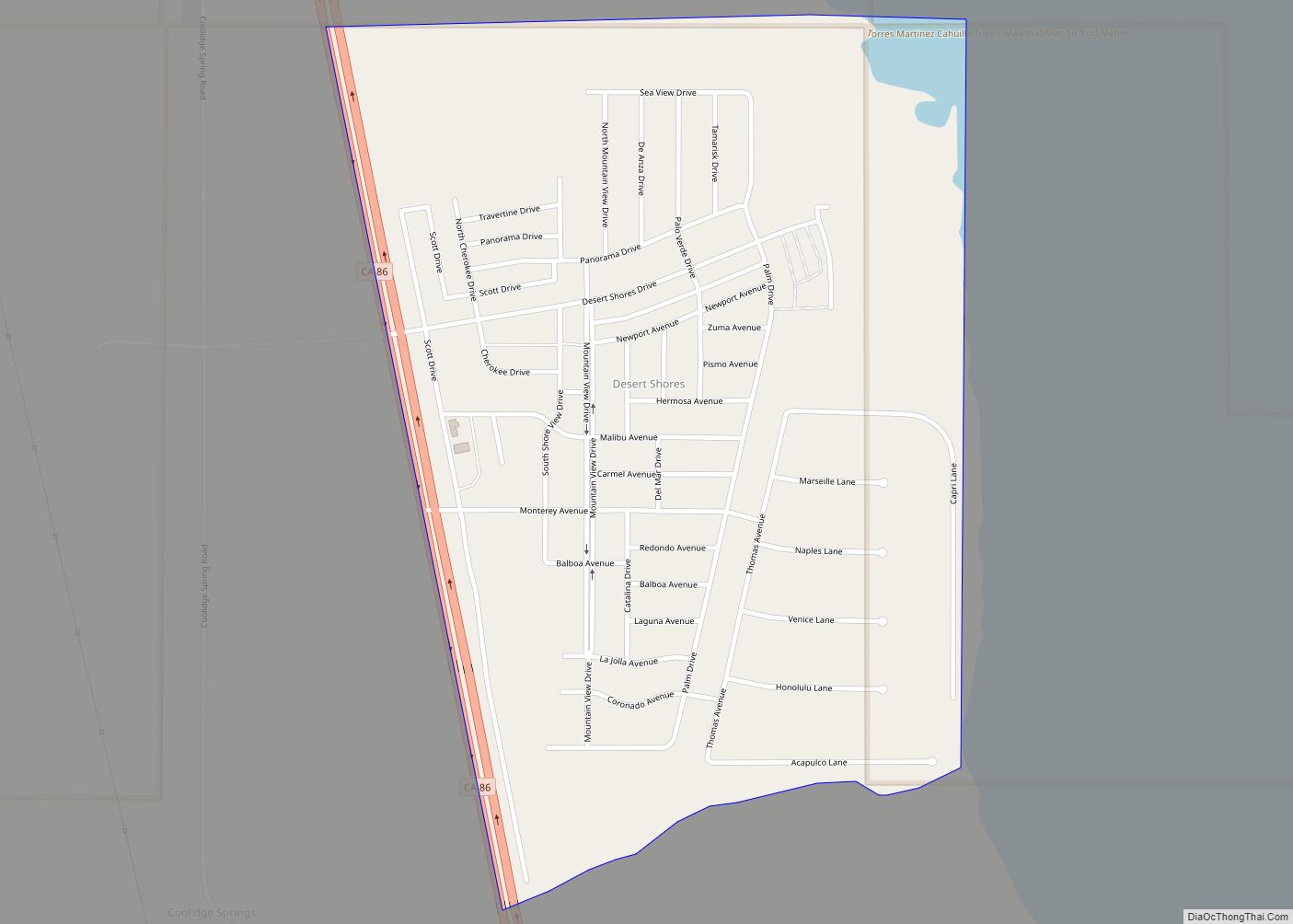
Desert Shores (formerly Fish Springs) is a census-designated place (CDP) in Imperial County, California, US. It is part of the El Centro Metropolitan Statistical Area.
| Name: | Desert Shores CDP |
|---|---|
| LSAD Code: | 57 |
| LSAD Description: | CDP (suffix) |
| State: | California |
| County: | Imperial County |
| Elevation: | −200 ft (−60 m) |
| Total Area: | 0.81 sq mi (2.10 km²) |
| Land Area: | 0.70 sq mi (1.81 km²) |
| Water Area: | 0.11 sq mi (0.29 km²) 0% |
| Total Population: | 1,128 |
| Population Density: | 1,613.73/sq mi (623.44/km²) |
| ZIP code: | 92274 |
| FIPS code: | 0619024 |
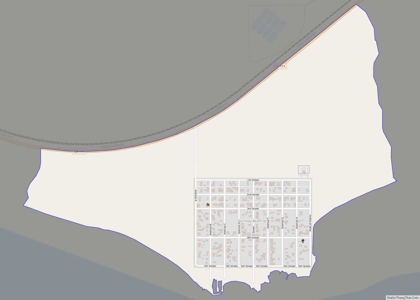
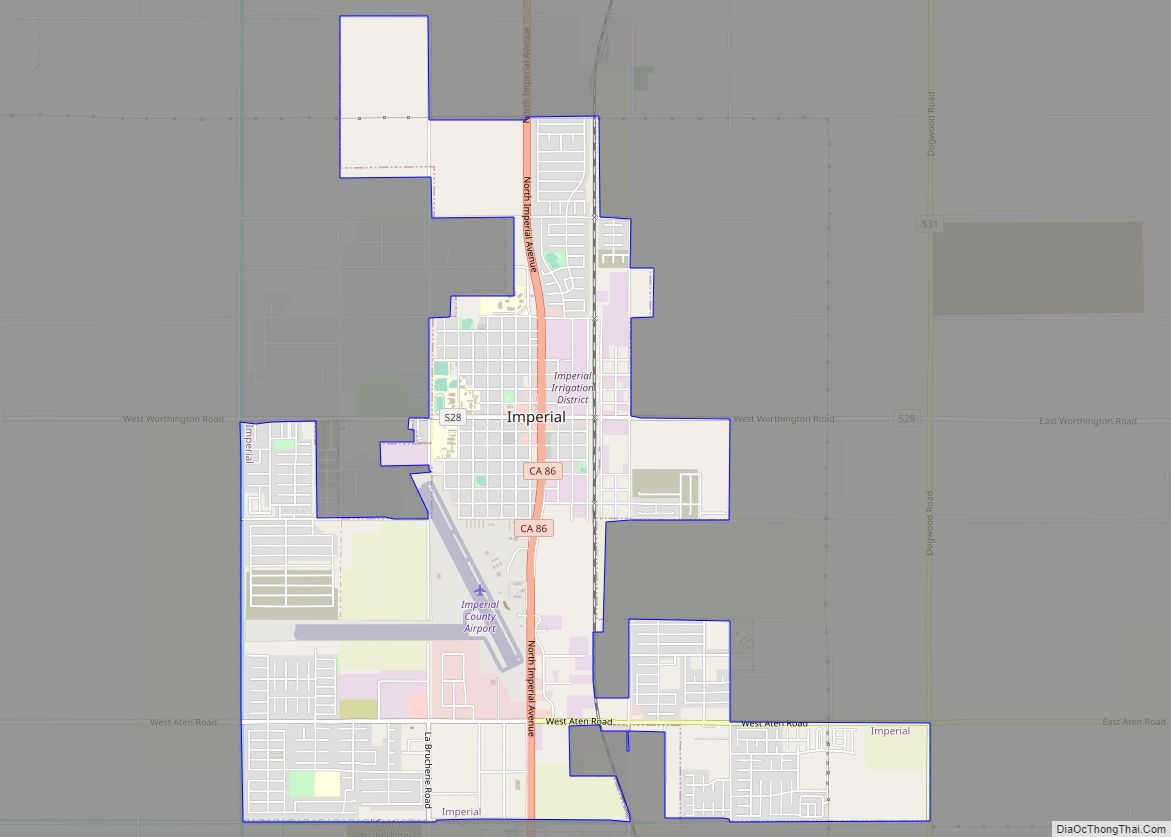
Online Interactive Map
Click on ![]() to view map in "full screen" mode.
to view map in "full screen" mode.
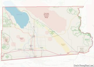
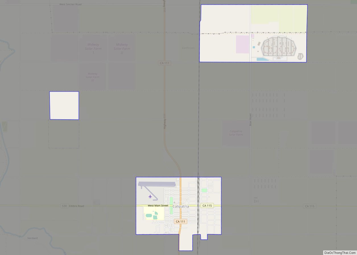
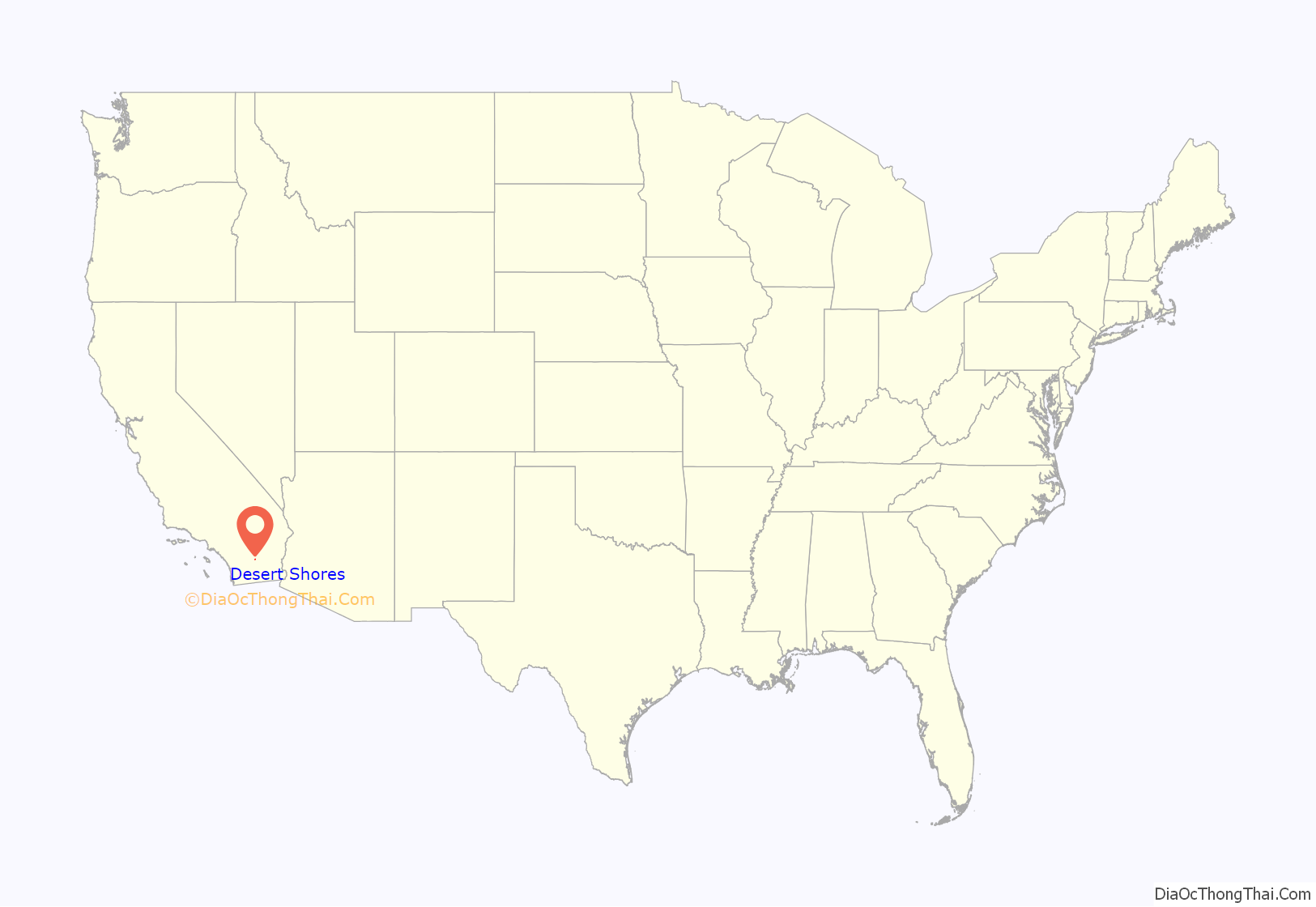
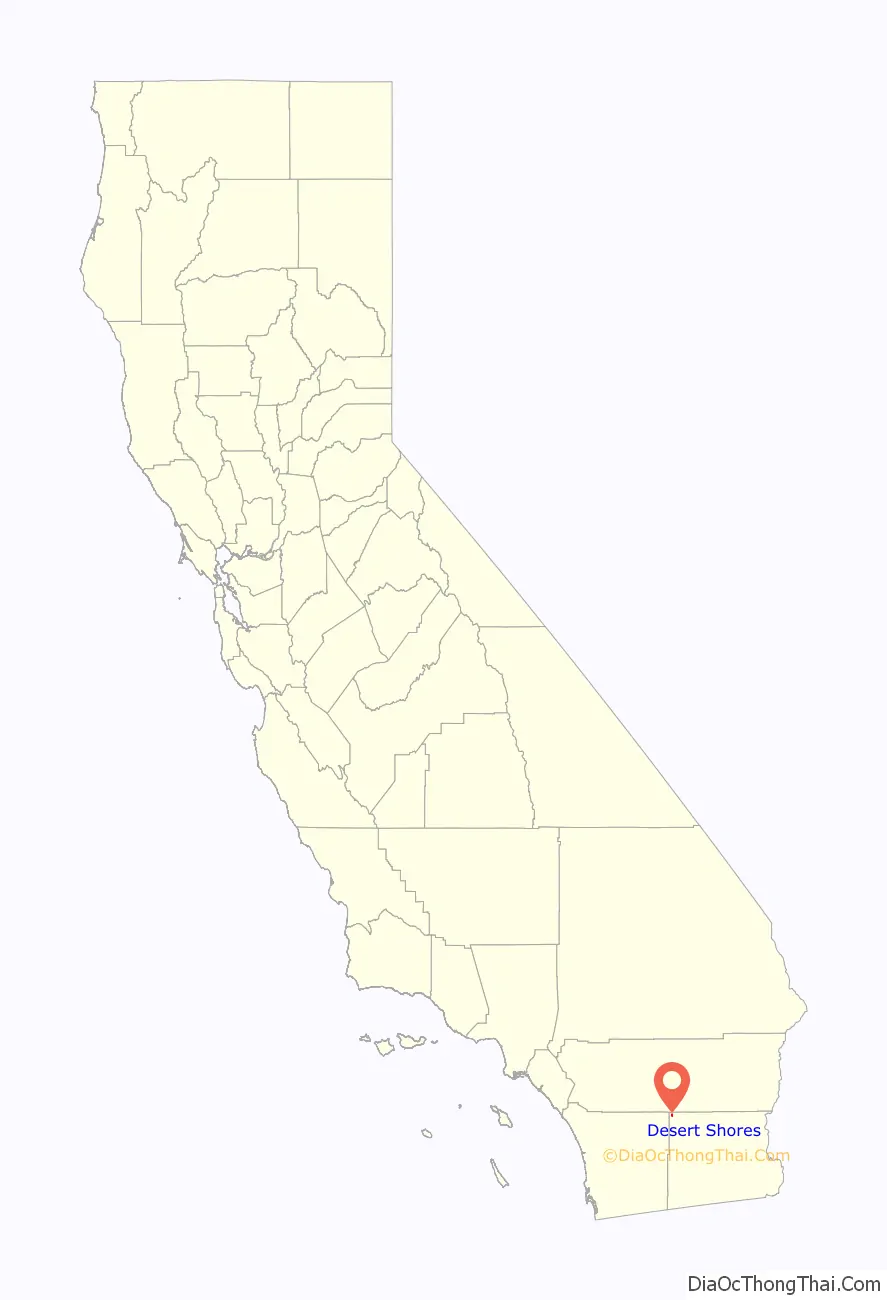
Desert Shores location map. Where is Desert Shores CDP?
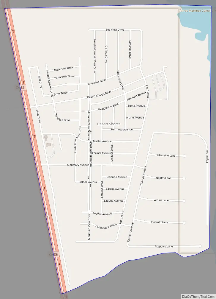
Desert Shores Road Map
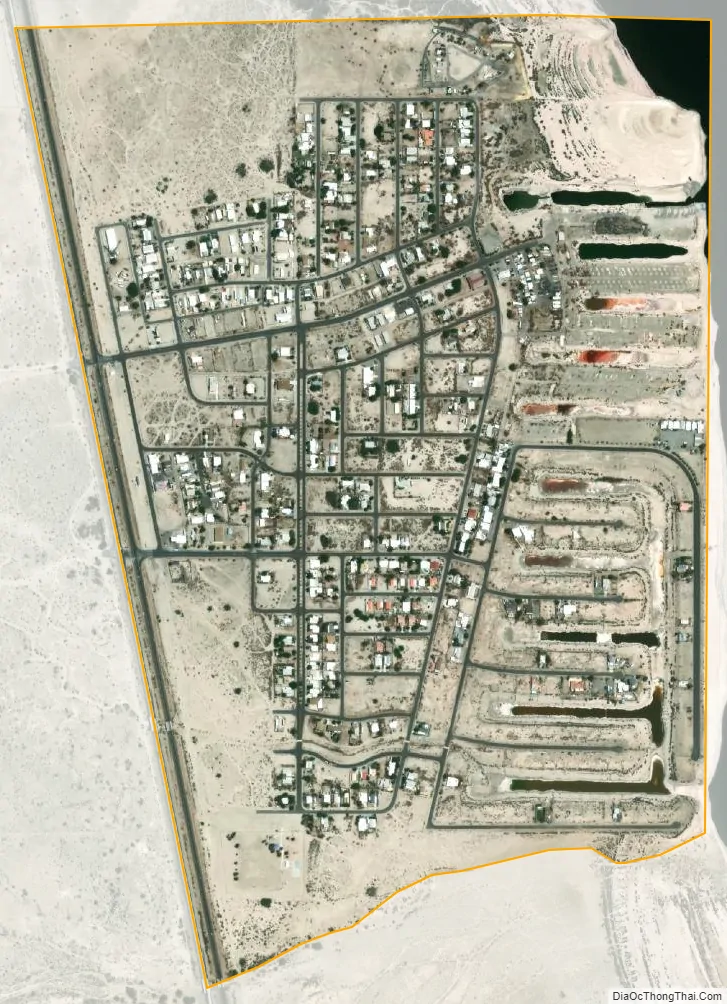
Desert Shores city Satellite Map
Geography
The town is located at the western shore of the Salton Sea in the Imperial Valley, within the Colorado Desert ecoregion. It is 36 miles (58 km) west-northwest of Calipatria. According to the United States Census Bureau, the CDP has a total area of 0.7 square miles (1.8 km), all land.
The surficial geology is dominated by Quaternary-era alluvial sands and clays.
According to the Köppen Climate Classification system, Desert Shores has a subtropical hot-desert climate (“BWh”). The coldest month is January with an average daytime high temperature of 63 °F (17 °C) and an average nighttime low of 35 °F (2 °C), while July is the hottest month, with an average daytime high temperature of 105 °F (41 °C) and an average nighttime low of 72 °F (22 °C). The all-time record high temperature is 126 °F (52 °C), and the all-time record low temperature is 13 °F (−11 °C). Sunshine is abundant all year due to a large amount of descending high pressure, and rainfall averages about 3 inches (76 millimeters) annually.
See also
Map of California State and its subdivision:- Alameda
- Alpine
- Amador
- Butte
- Calaveras
- Colusa
- Contra Costa
- Del Norte
- El Dorado
- Fresno
- Glenn
- Humboldt
- Imperial
- Inyo
- Kern
- Kings
- Lake
- Lassen
- Los Angeles
- Madera
- Marin
- Mariposa
- Mendocino
- Merced
- Modoc
- Mono
- Monterey
- Napa
- Nevada
- Orange
- Placer
- Plumas
- Riverside
- Sacramento
- San Benito
- San Bernardino
- San Diego
- San Francisco
- San Joaquin
- San Luis Obispo
- San Mateo
- Santa Barbara
- Santa Clara
- Santa Cruz
- Shasta
- Sierra
- Siskiyou
- Solano
- Sonoma
- Stanislaus
- Sutter
- Tehama
- Trinity
- Tulare
- Tuolumne
- Ventura
- Yolo
- Yuba
- Alabama
- Alaska
- Arizona
- Arkansas
- California
- Colorado
- Connecticut
- Delaware
- District of Columbia
- Florida
- Georgia
- Hawaii
- Idaho
- Illinois
- Indiana
- Iowa
- Kansas
- Kentucky
- Louisiana
- Maine
- Maryland
- Massachusetts
- Michigan
- Minnesota
- Mississippi
- Missouri
- Montana
- Nebraska
- Nevada
- New Hampshire
- New Jersey
- New Mexico
- New York
- North Carolina
- North Dakota
- Ohio
- Oklahoma
- Oregon
- Pennsylvania
- Rhode Island
- South Carolina
- South Dakota
- Tennessee
- Texas
- Utah
- Vermont
- Virginia
- Washington
- West Virginia
- Wisconsin
- Wyoming