Dinuba is a city in Tulare County, California, United States. The population was 24,563 at the 2020 census, up from 21,453 at the 2010 census. It is part of the Visalia-Porterville metropolitan statistical area. The Alta District Museum is located in Dinuba in a restored railroad station; the museum has a collection of materials that illustrate local history.
The name of the city is of unknown origin. While various theories about the origin exist, none have been verified. It probably is a fanciful name applied by railroad construction engineers at the time the branch line was built in this area. The city’s original name was Sibleyville, named for James Sibley, who deeded 240 acres to the Pacific Improvement Company (Southern Pacific Company).
| Name: | Dinuba city |
|---|---|
| LSAD Code: | 25 |
| LSAD Description: | city (suffix) |
| State: | California |
| County: | Tulare County |
| Incorporated: | January 6, 1906 |
| Elevation: | 335 ft (102 m) |
| Total Area: | 6.51 sq mi (16.86 km²) |
| Land Area: | 6.51 sq mi (16.86 km²) |
| Water Area: | 0.00 sq mi (0.00 km²) 0% |
| Total Population: | 24,563 |
| Population Density: | 3,773.12/sq mi (1,456.92/km²) |
| ZIP code: | 93618 |
| Area code: | 559 |
| FIPS code: | 0619318 |
| Website: | www.dinuba.org |
Online Interactive Map
Click on ![]() to view map in "full screen" mode.
to view map in "full screen" mode.
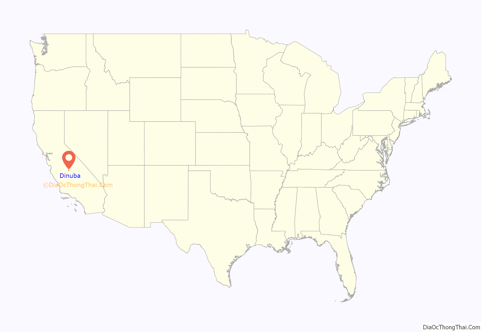
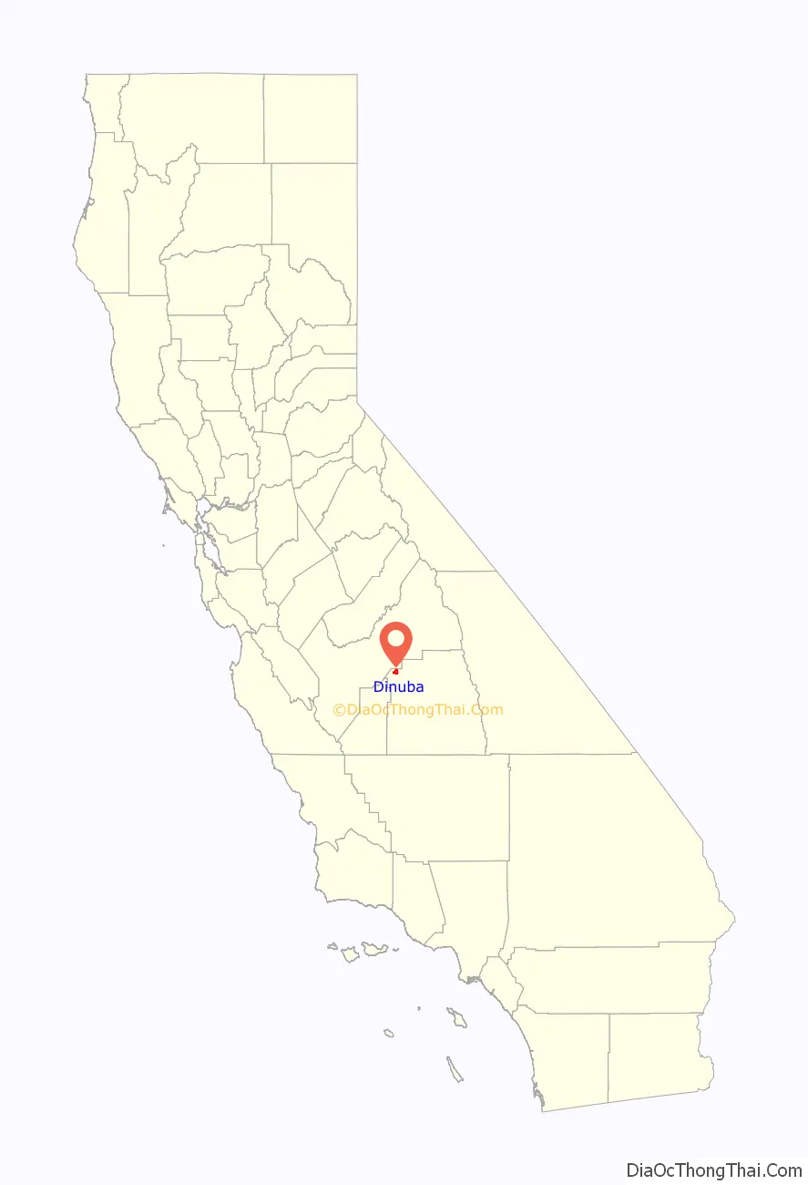
Dinuba location map. Where is Dinuba city?
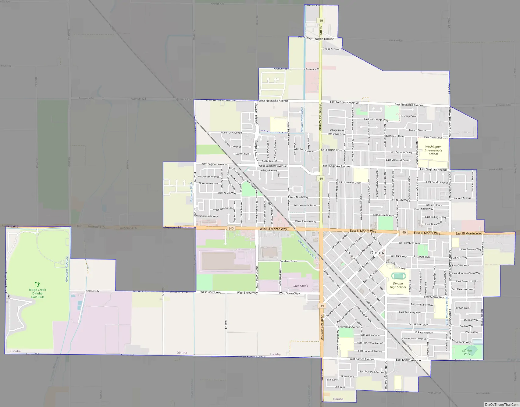
Dinuba Road Map
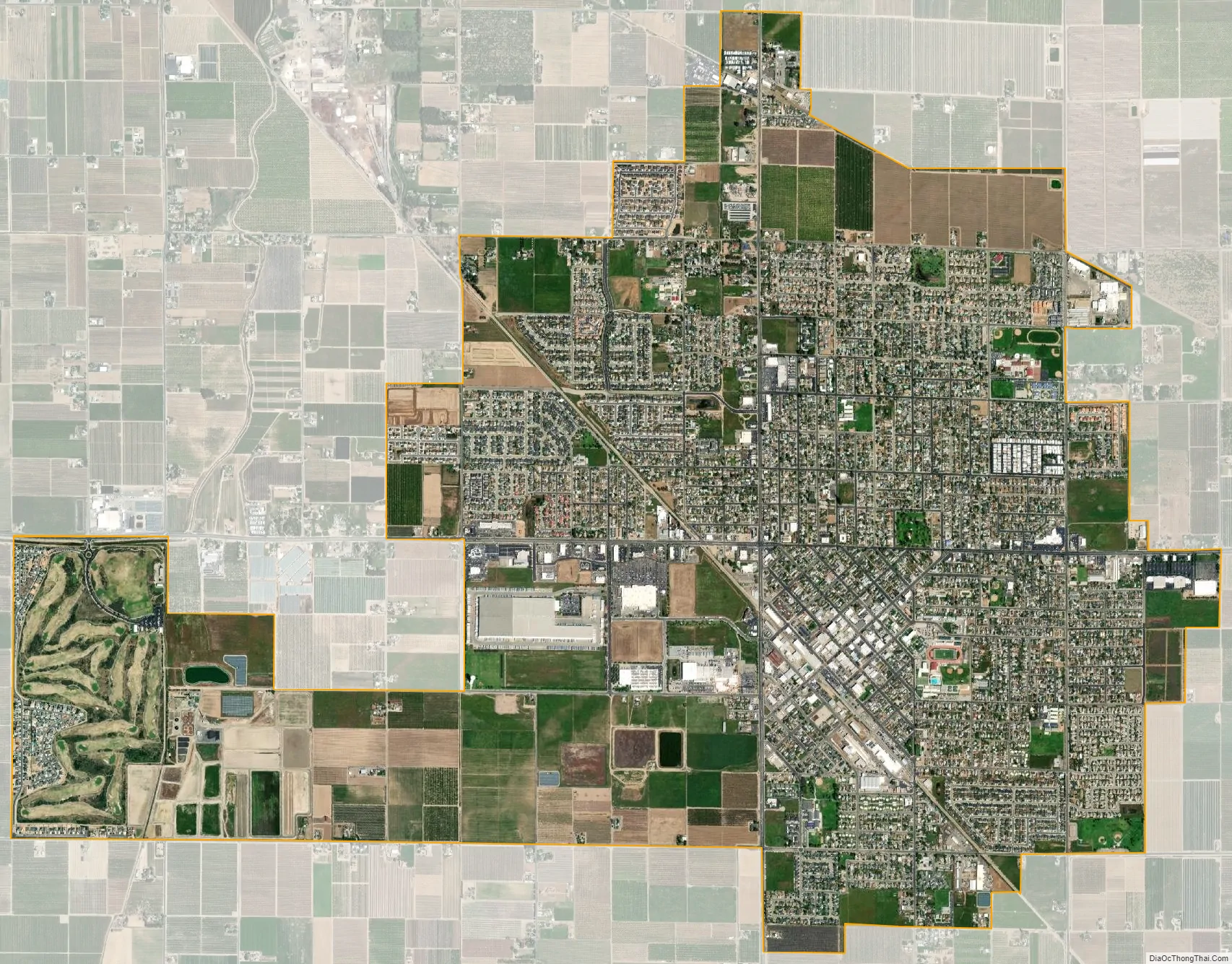
Dinuba city Satellite Map
Geography
Dinuba is located at 36°32′42″N 119°23′21″W / 36.54500°N 119.38917°W / 36.54500; -119.38917 (36.544898, -119.389260).
According to the United States Census Bureau, the city has a total area of 6.5 square miles (17 km), all of it land. The general topography is quite level ground, at an elevation of approximately 345 feet (105 m) above mean sea datum. The gradient is approximately ten feet per mile, from east-northeast to west-southwest. Groundwater generally also flows with the surface of the terrain; that is, from the northeast to the southwest. There are small hills to the northeast side of Dinuba with some elevations achieving heights of 526 feet (160 m).
See also
Map of California State and its subdivision:- Alameda
- Alpine
- Amador
- Butte
- Calaveras
- Colusa
- Contra Costa
- Del Norte
- El Dorado
- Fresno
- Glenn
- Humboldt
- Imperial
- Inyo
- Kern
- Kings
- Lake
- Lassen
- Los Angeles
- Madera
- Marin
- Mariposa
- Mendocino
- Merced
- Modoc
- Mono
- Monterey
- Napa
- Nevada
- Orange
- Placer
- Plumas
- Riverside
- Sacramento
- San Benito
- San Bernardino
- San Diego
- San Francisco
- San Joaquin
- San Luis Obispo
- San Mateo
- Santa Barbara
- Santa Clara
- Santa Cruz
- Shasta
- Sierra
- Siskiyou
- Solano
- Sonoma
- Stanislaus
- Sutter
- Tehama
- Trinity
- Tulare
- Tuolumne
- Ventura
- Yolo
- Yuba
- Alabama
- Alaska
- Arizona
- Arkansas
- California
- Colorado
- Connecticut
- Delaware
- District of Columbia
- Florida
- Georgia
- Hawaii
- Idaho
- Illinois
- Indiana
- Iowa
- Kansas
- Kentucky
- Louisiana
- Maine
- Maryland
- Massachusetts
- Michigan
- Minnesota
- Mississippi
- Missouri
- Montana
- Nebraska
- Nevada
- New Hampshire
- New Jersey
- New Mexico
- New York
- North Carolina
- North Dakota
- Ohio
- Oklahoma
- Oregon
- Pennsylvania
- Rhode Island
- South Carolina
- South Dakota
- Tennessee
- Texas
- Utah
- Vermont
- Virginia
- Washington
- West Virginia
- Wisconsin
- Wyoming


