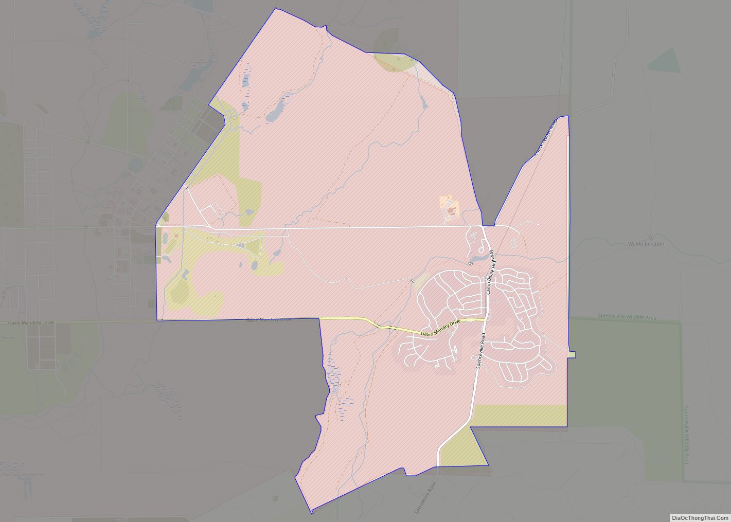
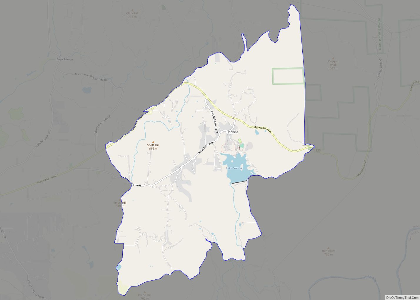
Dobbins (formerly, Dobbin, Dobbins Ranche, Dobbins Ranch, and Dobbin’s Ranche) is a census-designated place in Yuba County, California.
| Name: | Dobbins CDP |
|---|---|
| LSAD Code: | 57 |
| LSAD Description: | CDP (suffix) |
| State: | California |
| County: | Yuba County |
| Elevation: | 1,742 ft (531 m) |
| Total Area: | 7.81 sq mi (20.24 km²) |
| Land Area: | 7.74 sq mi (20.05 km²) |
| Water Area: | 0.07 sq mi (0.19 km²) 0.92% |
| Total Population: | 551 |
| Population Density: | 71.17/sq mi (27.48/km²) |
| ZIP code: | 95935 |
| Area code: | 530 |
| FIPS code: | 0619416 |
Online Interactive Map
Click on ![]() to view map in "full screen" mode.
to view map in "full screen" mode.
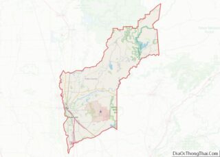
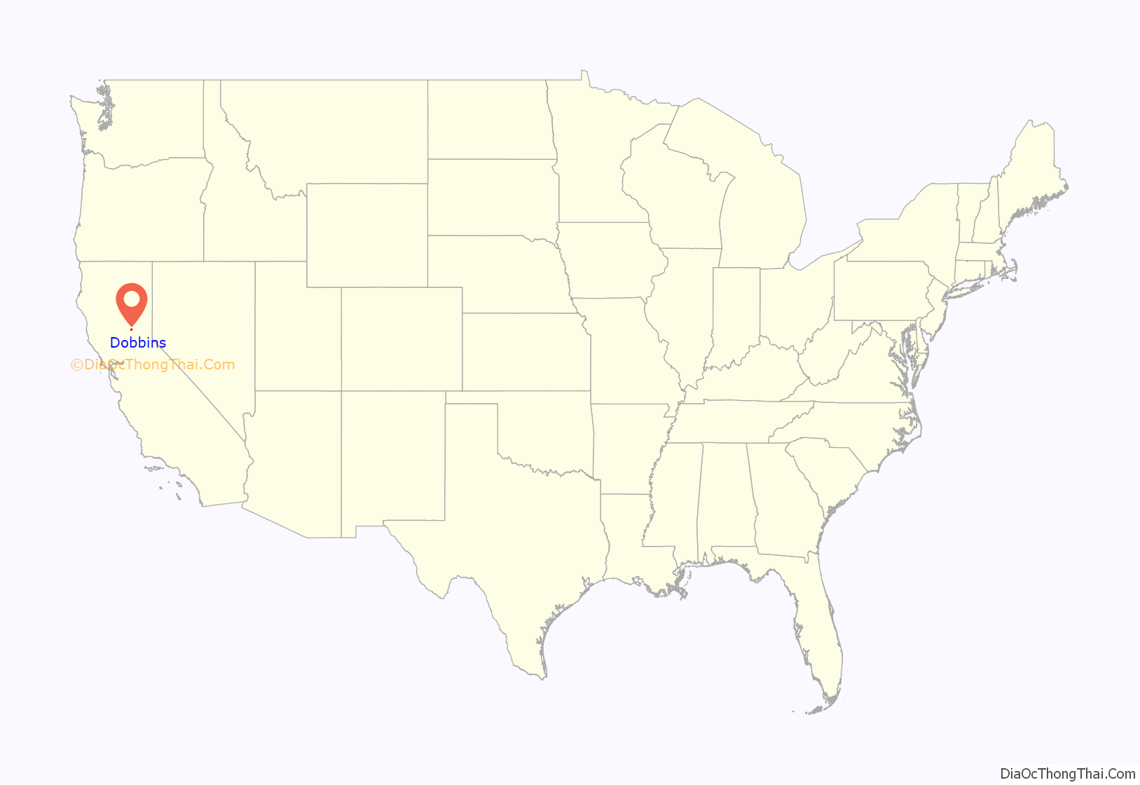
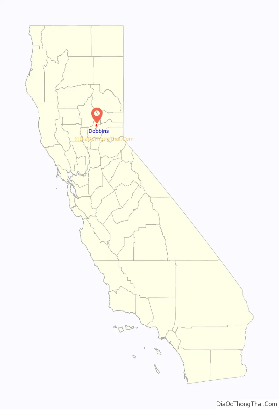
Dobbins location map. Where is Dobbins CDP?
History
The town was settled in 1849, and named for William M. and Mark D. Dobbins, early settlers. Dobbins was not a mining town originally, but a farm area. There were stage station stops, for teamsters’ and their wagons, at what was known as Scott Ranch (three miles below Dobbins- Marysville Rd). Dobbins served as a stage stop until the coming of the automobiles.
The first post office was established in 1851 under the name Dobbins Ranche, which was closed in 1854. The post office returned in 1887 and has operated continuously since then.
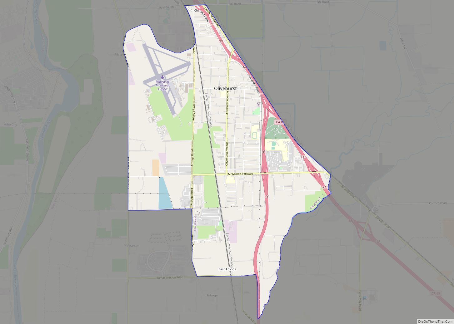
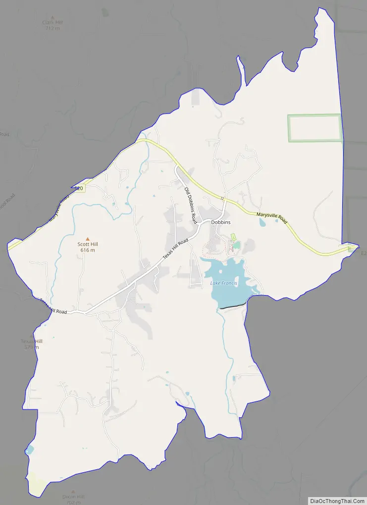
Dobbins Road Map
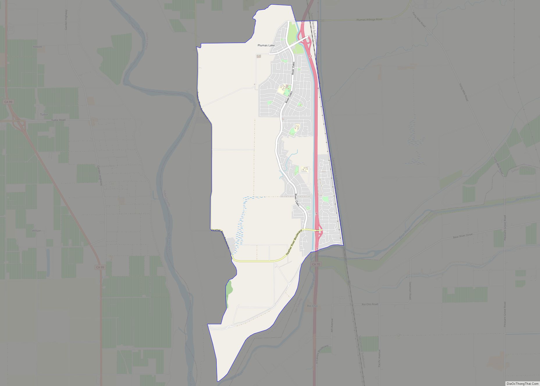
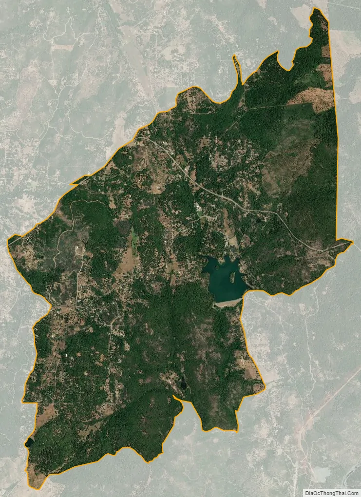
Dobbins city Satellite Map
Geography
It lies 26 miles (42 km) northeast of Marysville, at an elevation of 1742 feet, in the foothills of the western Sierra Nevada Mountain Range off of Highway 20 and Marysville Road. Dobbins is north of Oregon House and south of Bullards Bar Dam. Dobbins has one post office, one general store, three churches, a Grange Hall, one grade school, one charter school, and Lake Francis Resort.
The average snowfall is 3.5 inches, higher than most of California. February has the highest average snowfall with 1.5 inches, followed by January and March with 1 inch average snowfall each.
Most students attend high school in Marysville, or in the Sierra County school district.
According to the United States Census Bureau, the CDP covers an area of 7.8 square miles (20.3 km), 99.08% of it land and 0.92% of it water.
See also
Map of California State and its subdivision:- Alameda
- Alpine
- Amador
- Butte
- Calaveras
- Colusa
- Contra Costa
- Del Norte
- El Dorado
- Fresno
- Glenn
- Humboldt
- Imperial
- Inyo
- Kern
- Kings
- Lake
- Lassen
- Los Angeles
- Madera
- Marin
- Mariposa
- Mendocino
- Merced
- Modoc
- Mono
- Monterey
- Napa
- Nevada
- Orange
- Placer
- Plumas
- Riverside
- Sacramento
- San Benito
- San Bernardino
- San Diego
- San Francisco
- San Joaquin
- San Luis Obispo
- San Mateo
- Santa Barbara
- Santa Clara
- Santa Cruz
- Shasta
- Sierra
- Siskiyou
- Solano
- Sonoma
- Stanislaus
- Sutter
- Tehama
- Trinity
- Tulare
- Tuolumne
- Ventura
- Yolo
- Yuba
- Alabama
- Alaska
- Arizona
- Arkansas
- California
- Colorado
- Connecticut
- Delaware
- District of Columbia
- Florida
- Georgia
- Hawaii
- Idaho
- Illinois
- Indiana
- Iowa
- Kansas
- Kentucky
- Louisiana
- Maine
- Maryland
- Massachusetts
- Michigan
- Minnesota
- Mississippi
- Missouri
- Montana
- Nebraska
- Nevada
- New Hampshire
- New Jersey
- New Mexico
- New York
- North Carolina
- North Dakota
- Ohio
- Oklahoma
- Oregon
- Pennsylvania
- Rhode Island
- South Carolina
- South Dakota
- Tennessee
- Texas
- Utah
- Vermont
- Virginia
- Washington
- West Virginia
- Wisconsin
- Wyoming