Drytown (formerly, Dry Town) is a census-designated place in Amador County, California. It is located 2.5 miles (4.0 km) south of Plymouth on Dry Creek, at an elevation of 646 feet (197 m). The population at the 2010 census was 167. The town is registered as a California Historical Landmark. The community is in ZIP code 95699 and area code 209. Today Drytown is home to a population of less than 200 people and about 5 antiques stores. But once before it was a well-known hotspot thanks to the gold mines with a population of 10,000 people.
| Name: | Drytown CDP |
|---|---|
| LSAD Code: | 57 |
| LSAD Description: | CDP (suffix) |
| State: | California |
| County: | Amador County |
| Elevation: | 646 ft (197 m) |
| Total Area: | 3.26 sq mi (8.44 km²) |
| Land Area: | 3.26 sq mi (8.43 km²) |
| Water Area: | 0.00 sq mi (0.01 km²) 0% |
| Total Population: | 186 |
| Population Density: | 57.13/sq mi (22.06/km²) |
| ZIP code: | 95699 |
| Area code: | 209 |
| FIPS code: | 0619976 |
| GNISfeature ID: | 1658441; 2583002 |
Online Interactive Map
Click on ![]() to view map in "full screen" mode.
to view map in "full screen" mode.
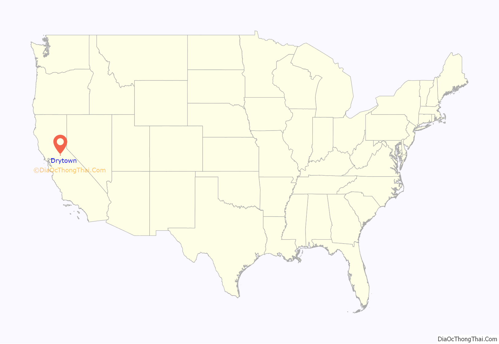
Drytown location map. Where is Drytown CDP?
History
Drytown is the oldest community in Amador County, and the first in which gold was discovered. It took its name from Dry Creek, which runs dry during the summer. However, it was certainly not “dry”, as stories tell of there being up to 26 saloons, of which just one remains, The Drytown Club.
The gold started to peter out by 1857 and when a fire destroyed most of the town that year, most of its inhabitants packed up and moved to more successful mines elsewhere in the county. The town was only saved by the construction of State Route 49, which went through it, in 1920. See the Drytown, CA website for additional history and current information.
A U.S. Post Office opened at Drytown in 1852. In the 1960s the post office was located within the Drytown General Store operated by the Bruns family. A visit in January 2010 revealed that the general store building is now occupied by an antique shop, the Drytown Post Office is housed in an adjacent, newer building which is also an antique shop, and the Drytown general store is now in a second separate, newer building nearby.
At the time of the January 2010 visit there was a sign on the door of the post office building stating that the post office was closed in April, 2009, and efforts were being made to reopen it.
From 1959 to about 1994 — before the Mother Lode tourist boom — a summer theater company called the “Claypipers” staged comedic melodramas interspersed with “olio” (song and dance) acts to mostly standing room only audiences. Musical accompaniment for both was provided by the incomparable Dottie Rodgers on the piano at stage left. The name Claypipers was taken from the clay pipes used by miners in the deep tunnels of hard rock gold mines — not only for smoking, but also (it is rumored) to sneak nuggets out of the mines at the end of their shifts. After a wildly successful summer in adjacent Amador City, the Claypipers bought the century-old building across Highway 49 from the Drytown General Store and remodeled it into a theater with table seating, a bar, stage, wings and sophisticated (for the time) stage lighting system. The basement was converted to dressing rooms and green room, and a stairway added from there to the stage wings. The majority of the cast, crew and spectators traveled from communities around San Francisco Bay to this Mother Lode area on show days to be a part of this phenomenon. The large “Piper’s Playhouse” marquee was a familiar sight to anyone traveling this part of Highway 49 during the Claypipers’ tenure—now, like the sound of the boisterous crowds cheering the heroes and booing the villains, only a memory.
The Claypipers also purchased the house across Spanish Street from the theater, constructed a “dorm” addition, and used it as a base of operations on show days and work days (mostly on weekends).
Following a fire in 1985, the theater was completely re-built and a second story was added to the Piper Playhouse. The Claypipers continued performing melodramas until closing their doors for good in 1994. The house on Spanish Street was sold a few years later, and the theater was ultimately sold in 2010.
In the early 1960s, the Claypipers purchased a “fire engine” for Drytown — a well used but serviceable Red Ford 1-Ton pickup truck with built-in 400 gallon water tank and pump — and constructed a “fire station” (garage) building to house it on the west side of the ‘T’ intersection of Spanish St and New Chicago Road. In 1963, the 3 man volunteer Drytown Fire Department, under then-Fire Chief (and San Francisco peninsula transplant) Bob Brown, was called out three times, and saved two of the three homes involved. The third was fully engulfed in flames before the call came in, but they were able to prevent the adjacent propane tank from erupting as well as the spread of the fire to the very dry surrounding grassy fields. In January 2010, the “fire engine” was nowhere to be found, and the “fire Station’ building had been fitted with man-doors and had a ‘For Rent’ sign on it.
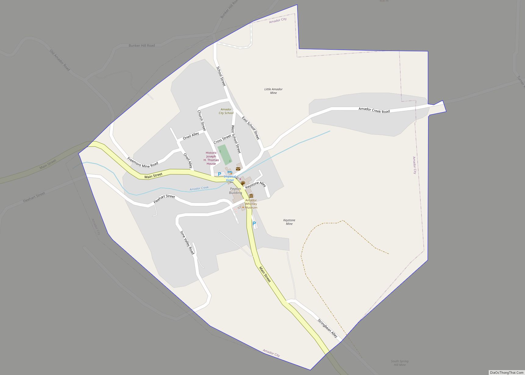
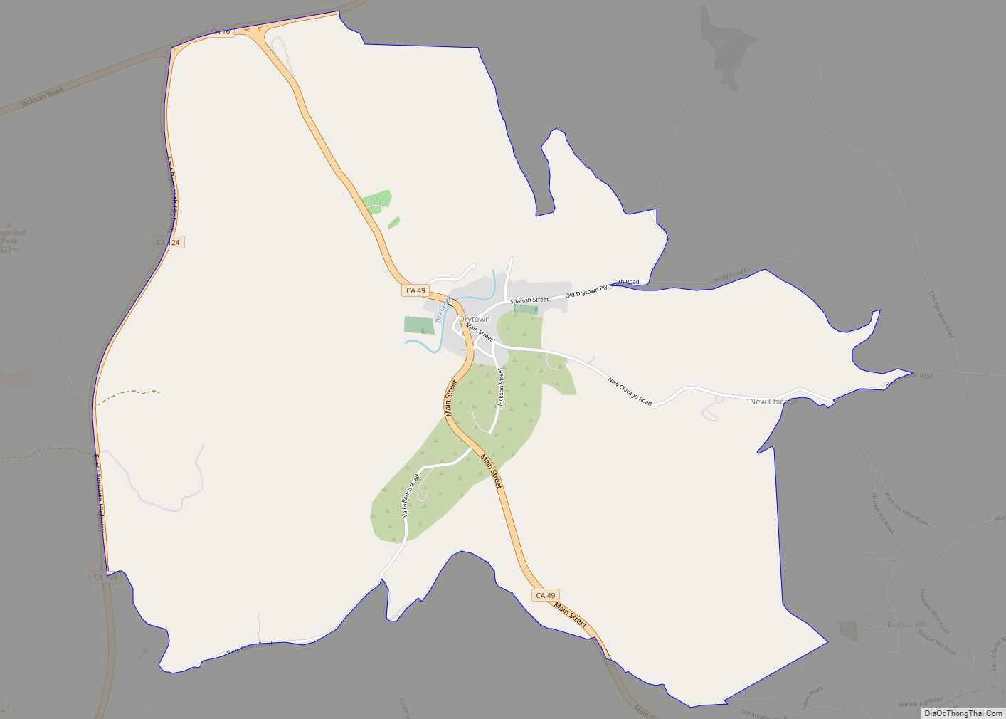
Drytown Road Map
Drytown city Satellite Map
See also
Map of California State and its subdivision:- Alameda
- Alpine
- Amador
- Butte
- Calaveras
- Colusa
- Contra Costa
- Del Norte
- El Dorado
- Fresno
- Glenn
- Humboldt
- Imperial
- Inyo
- Kern
- Kings
- Lake
- Lassen
- Los Angeles
- Madera
- Marin
- Mariposa
- Mendocino
- Merced
- Modoc
- Mono
- Monterey
- Napa
- Nevada
- Orange
- Placer
- Plumas
- Riverside
- Sacramento
- San Benito
- San Bernardino
- San Diego
- San Francisco
- San Joaquin
- San Luis Obispo
- San Mateo
- Santa Barbara
- Santa Clara
- Santa Cruz
- Shasta
- Sierra
- Siskiyou
- Solano
- Sonoma
- Stanislaus
- Sutter
- Tehama
- Trinity
- Tulare
- Tuolumne
- Ventura
- Yolo
- Yuba
- Alabama
- Alaska
- Arizona
- Arkansas
- California
- Colorado
- Connecticut
- Delaware
- District of Columbia
- Florida
- Georgia
- Hawaii
- Idaho
- Illinois
- Indiana
- Iowa
- Kansas
- Kentucky
- Louisiana
- Maine
- Maryland
- Massachusetts
- Michigan
- Minnesota
- Mississippi
- Missouri
- Montana
- Nebraska
- Nevada
- New Hampshire
- New Jersey
- New Mexico
- New York
- North Carolina
- North Dakota
- Ohio
- Oklahoma
- Oregon
- Pennsylvania
- Rhode Island
- South Carolina
- South Dakota
- Tennessee
- Texas
- Utah
- Vermont
- Virginia
- Washington
- West Virginia
- Wisconsin
- Wyoming
