Earlimart is an unincorporated community in Tulare County, California, United States. At the 2010 census, the CDP population was 8,537, up from 6,583 at the 2000 census. For statistical purposes, the Census Bureau defines Earlimart as a census-designated place (CDP).
| Name: | Earlimart CDP |
|---|---|
| LSAD Code: | 57 |
| LSAD Description: | CDP (suffix) |
| State: | California |
| County: | Tulare County |
| Elevation: | 282 ft (86 m) |
| Total Area: | 2.90 sq mi (7.52 km²) |
| Land Area: | 2.90 sq mi (7.52 km²) |
| Water Area: | 0.00 sq mi (0.00 km²) 0% |
| Total Population: | 7,679 |
| Population Density: | 2,645.19/sq mi (1,021.23/km²) |
| ZIP code: | 93219 |
| Area code: | 661 |
| FIPS code: | 0620438 |
| GNISfeature ID: | 1652700 |
Online Interactive Map
Click on ![]() to view map in "full screen" mode.
to view map in "full screen" mode.
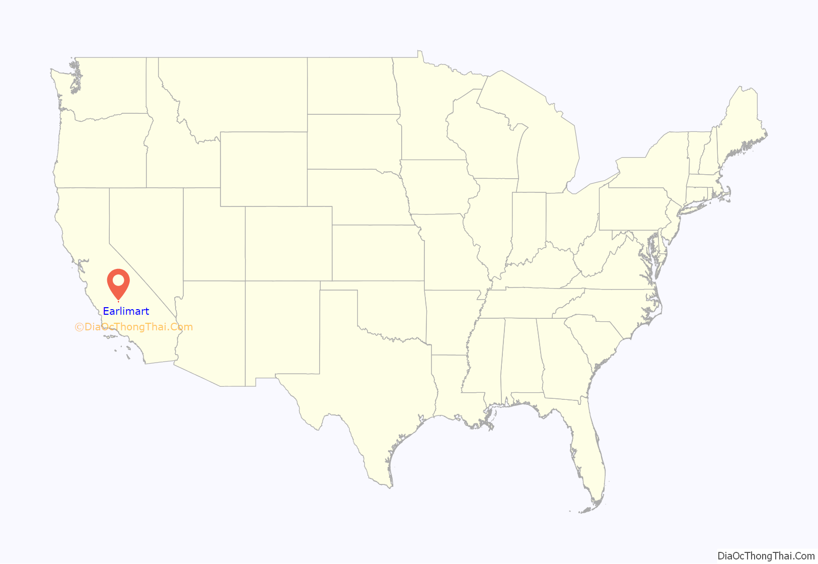
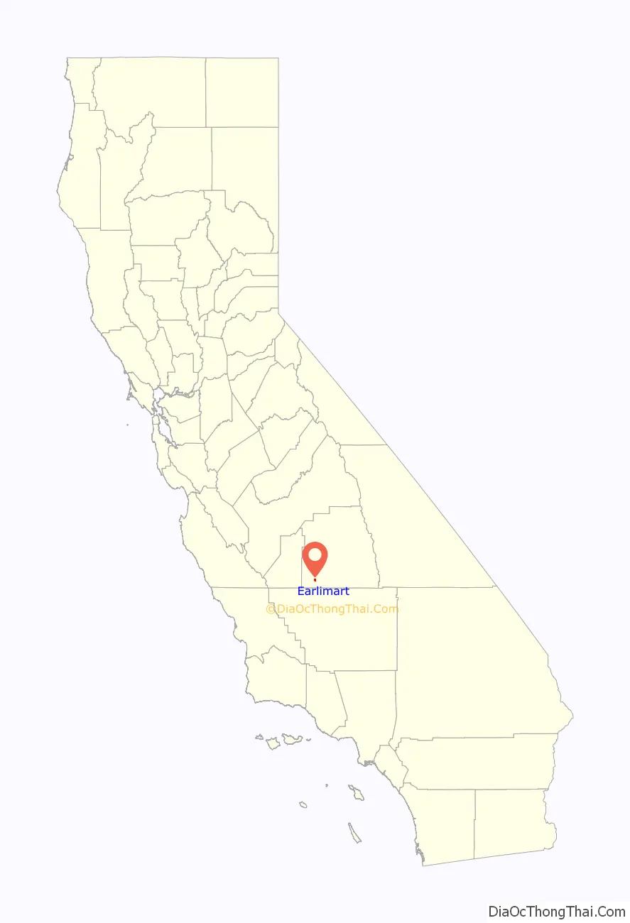
Earlimart location map. Where is Earlimart CDP?
History
In the early 1890s, the Dalton Gang was accused and convicted of robbing a Southern Pacific Railroad train at Earlimart, when the community was known as Alila.
Community members changed its name to Earlimart in 1910, choosing that name because the variety of melons grown by local farmers ripened early, and thus were considered “early to market”—hence, “Earli-mart.” Tulare County’s Earlimart branch library was established in October 1914 in the Alila School.
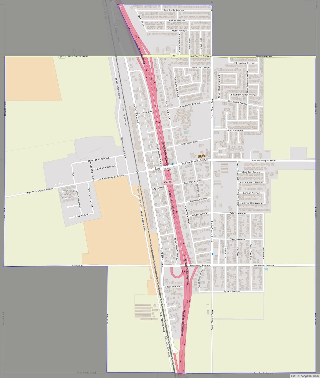
Earlimart Road Map
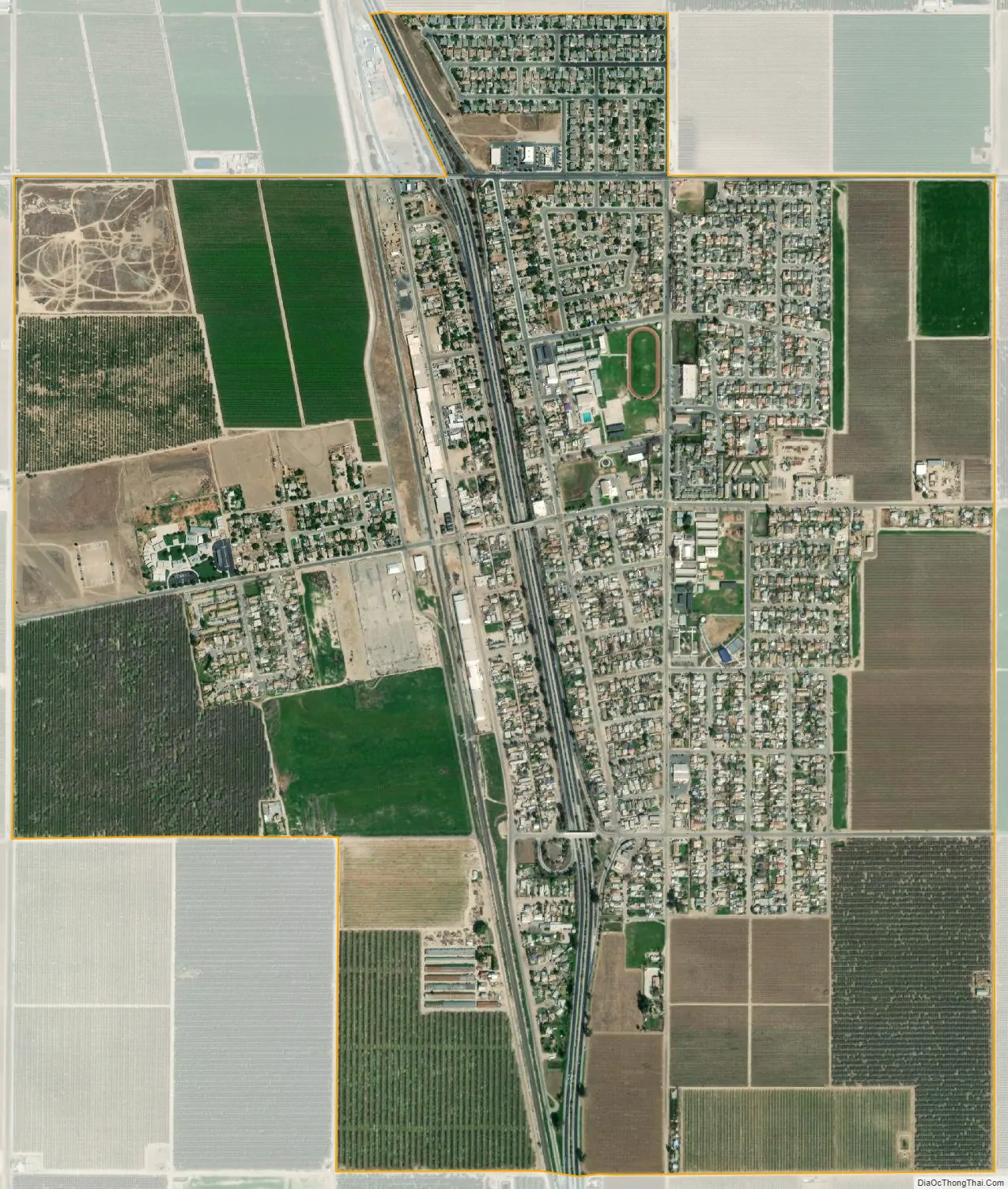
Earlimart city Satellite Map
Geography
According to the United States Census Bureau, the CDP has a total area of 2.1 square miles (5.4 km), all of it land.
See also
Map of California State and its subdivision:- Alameda
- Alpine
- Amador
- Butte
- Calaveras
- Colusa
- Contra Costa
- Del Norte
- El Dorado
- Fresno
- Glenn
- Humboldt
- Imperial
- Inyo
- Kern
- Kings
- Lake
- Lassen
- Los Angeles
- Madera
- Marin
- Mariposa
- Mendocino
- Merced
- Modoc
- Mono
- Monterey
- Napa
- Nevada
- Orange
- Placer
- Plumas
- Riverside
- Sacramento
- San Benito
- San Bernardino
- San Diego
- San Francisco
- San Joaquin
- San Luis Obispo
- San Mateo
- Santa Barbara
- Santa Clara
- Santa Cruz
- Shasta
- Sierra
- Siskiyou
- Solano
- Sonoma
- Stanislaus
- Sutter
- Tehama
- Trinity
- Tulare
- Tuolumne
- Ventura
- Yolo
- Yuba
- Alabama
- Alaska
- Arizona
- Arkansas
- California
- Colorado
- Connecticut
- Delaware
- District of Columbia
- Florida
- Georgia
- Hawaii
- Idaho
- Illinois
- Indiana
- Iowa
- Kansas
- Kentucky
- Louisiana
- Maine
- Maryland
- Massachusetts
- Michigan
- Minnesota
- Mississippi
- Missouri
- Montana
- Nebraska
- Nevada
- New Hampshire
- New Jersey
- New Mexico
- New York
- North Carolina
- North Dakota
- Ohio
- Oklahoma
- Oregon
- Pennsylvania
- Rhode Island
- South Carolina
- South Dakota
- Tennessee
- Texas
- Utah
- Vermont
- Virginia
- Washington
- West Virginia
- Wisconsin
- Wyoming


