El Portal (Spanish for “The Gateway”) is a census-designated place in Mariposa County, California, United States. It is located 11.5 miles (19 km) west-southwest of Yosemite Village, at an elevation of 1,939 feet (591 m). The population was 372 at the 2020 census, down from 474 at the 2010 census.
| Name: | El Portal CDP |
|---|---|
| LSAD Code: | 57 |
| LSAD Description: | CDP (suffix) |
| State: | California |
| County: | Mariposa County |
| Elevation: | 1,939 ft (591 m) |
| Total Area: | 1.910 sq mi (4.95 km²) |
| Land Area: | 1.864 sq mi (4.83 km²) |
| Water Area: | 0.046 sq mi (0.12 km²) 2.41% |
| Total Population: | 372 |
| Population Density: | 199.6/sq mi (77.1/km²) |
| ZIP code: | 95318 |
| FIPS code: | 0622328 |
Online Interactive Map
Click on ![]() to view map in "full screen" mode.
to view map in "full screen" mode.
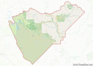
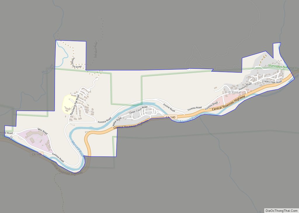
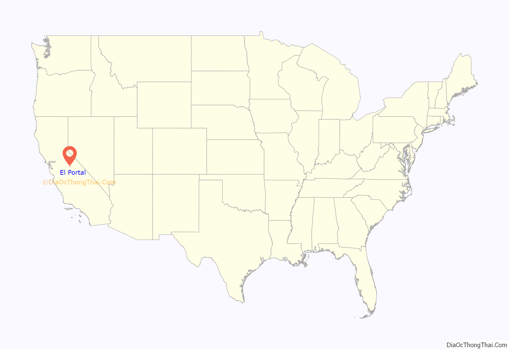
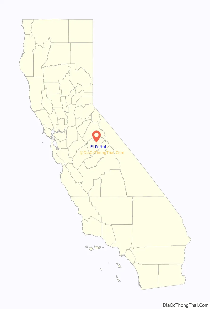
El Portal location map. Where is El Portal CDP?
History
The first post office at El Portal opened in 1907.
Work on a four-story Hotel Del Portal began in the fall of 1907 and was completed in 1908 by a subsidiary corporation of the Yosemite Valley Railroad. The hotel was a four-hour ride from Merced via a railway coach. On October 27, 1917, a fire destroyed the hotel including the Desmond Company’s records, which was started by a defective attic flue.
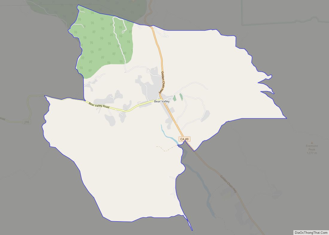
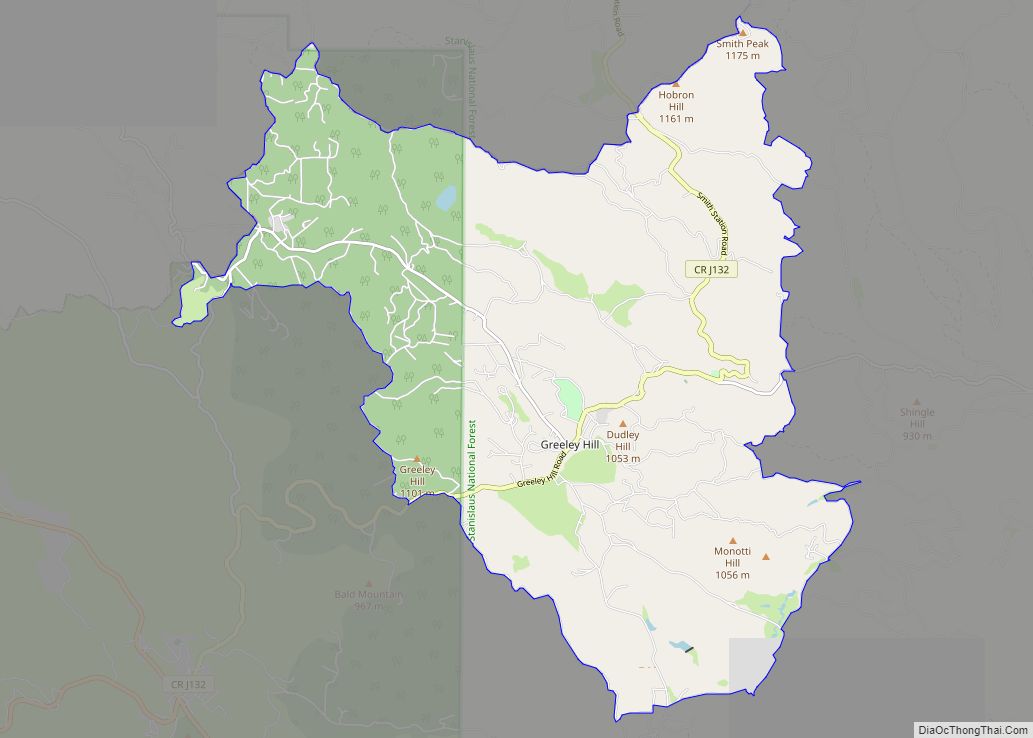
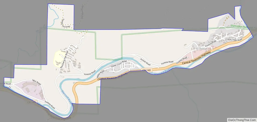
El Portal Road Map
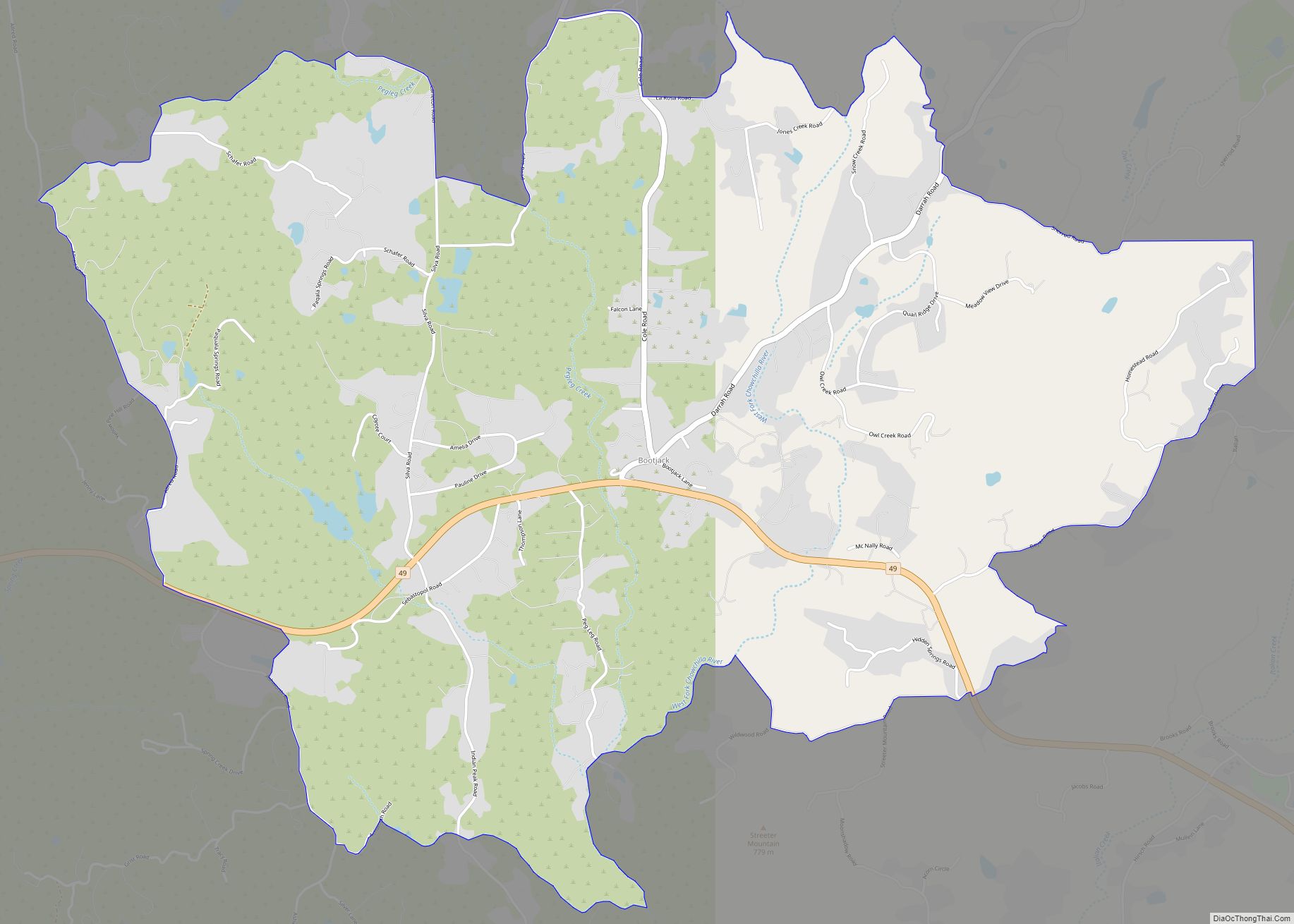
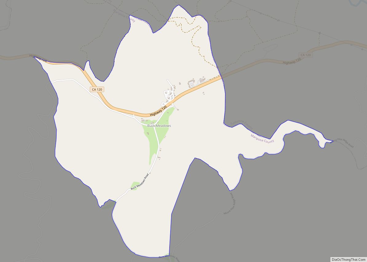
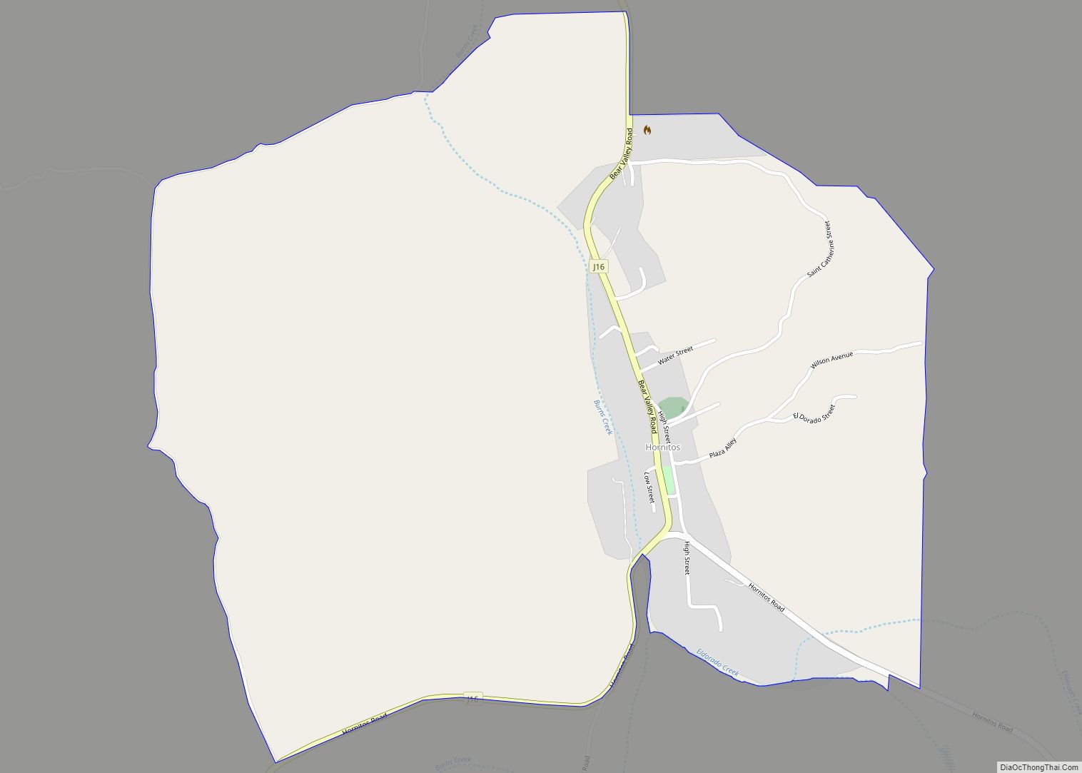
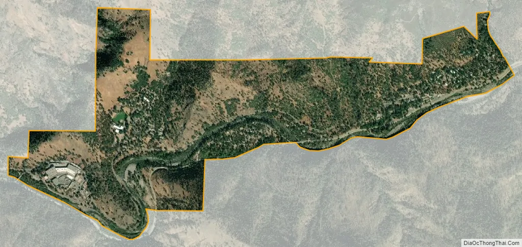
El Portal city Satellite Map
Geography
According to the United States Census Bureau, the CDP covers an area of 1.91 square miles (4.9 km), of which 0.05 square miles (0.13 km), or 2.41%, are water.
See also
Map of California State and its subdivision:- Alameda
- Alpine
- Amador
- Butte
- Calaveras
- Colusa
- Contra Costa
- Del Norte
- El Dorado
- Fresno
- Glenn
- Humboldt
- Imperial
- Inyo
- Kern
- Kings
- Lake
- Lassen
- Los Angeles
- Madera
- Marin
- Mariposa
- Mendocino
- Merced
- Modoc
- Mono
- Monterey
- Napa
- Nevada
- Orange
- Placer
- Plumas
- Riverside
- Sacramento
- San Benito
- San Bernardino
- San Diego
- San Francisco
- San Joaquin
- San Luis Obispo
- San Mateo
- Santa Barbara
- Santa Clara
- Santa Cruz
- Shasta
- Sierra
- Siskiyou
- Solano
- Sonoma
- Stanislaus
- Sutter
- Tehama
- Trinity
- Tulare
- Tuolumne
- Ventura
- Yolo
- Yuba
- Alabama
- Alaska
- Arizona
- Arkansas
- California
- Colorado
- Connecticut
- Delaware
- District of Columbia
- Florida
- Georgia
- Hawaii
- Idaho
- Illinois
- Indiana
- Iowa
- Kansas
- Kentucky
- Louisiana
- Maine
- Maryland
- Massachusetts
- Michigan
- Minnesota
- Mississippi
- Missouri
- Montana
- Nebraska
- Nevada
- New Hampshire
- New Jersey
- New Mexico
- New York
- North Carolina
- North Dakota
- Ohio
- Oklahoma
- Oregon
- Pennsylvania
- Rhode Island
- South Carolina
- South Dakota
- Tennessee
- Texas
- Utah
- Vermont
- Virginia
- Washington
- West Virginia
- Wisconsin
- Wyoming