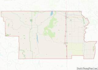
Elk Creek is a census-designated place in Glenn County, California. It is located 19 miles (31 km) northwest of Willows, at an elevation of 745 feet (227 m).
The 2010 census reported that Elk Creek’s population was 163. It is home to the smallest public high school in California, which has an enrollment of about 35 students in grades 7 through 12. The Grindstone Indian Rancheria of Wintun-Wailaki Indians, founded in 1907, is located approximately seven miles north of the town and conducts business in Elk Creek. The best-known landmark nearby is a mountain named Bidwell Point.
The first post office at Elk Creek opened in 1872.
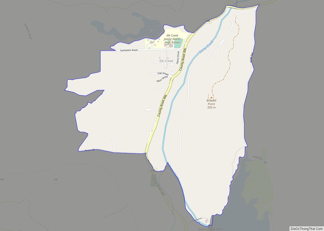
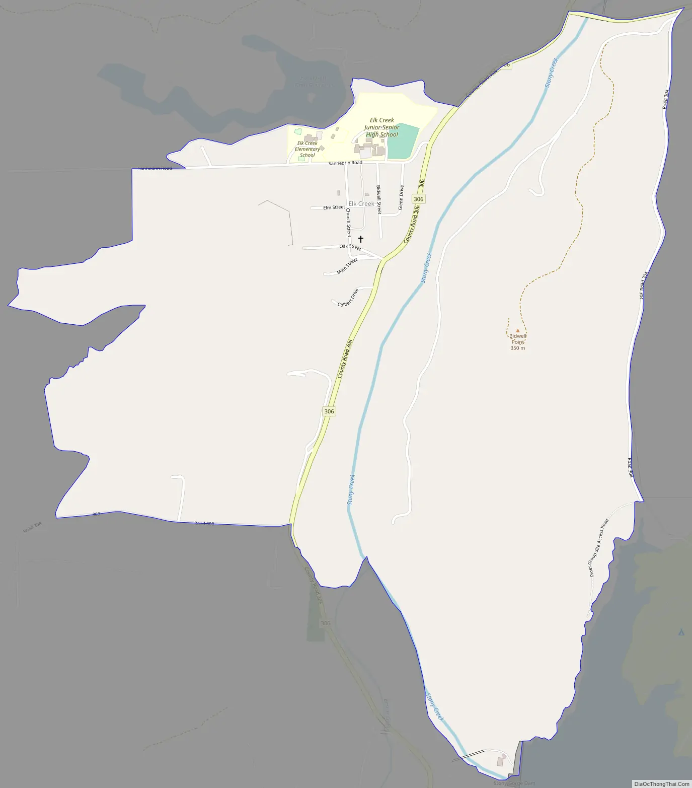
The town of Elk Creek is just north of Stony Gorge Reservoir. Elk Creek, the town’s namesake, runs out of the Coast Range mountains to the east into Stony Creek. Stony Creek runs from the dam at Stony Gorge into another lake a bit further up the map called Black Butte Lake. Hunting is restricted to shotguns and bows.
| Name: | Elk Creek CDP |
|---|---|
| LSAD Code: | 57 |
| LSAD Description: | CDP (suffix) |
| State: | California |
| County: | Glenn County |
| Elevation: | 745 ft (227 m) |
| Total Area: | 1.480 sq mi (3.835 km²) |
| Land Area: | 1.449 sq mi (3.754 km²) |
| Water Area: | 0.031 sq mi (0.082 km²) 2.1% |
| Total Population: | 163 |
| Population Density: | 110/sq mi (43/km²) |
| FIPS code: | 0622006 |
Online Interactive Map
Click on ![]() to view map in "full screen" mode.
to view map in "full screen" mode.
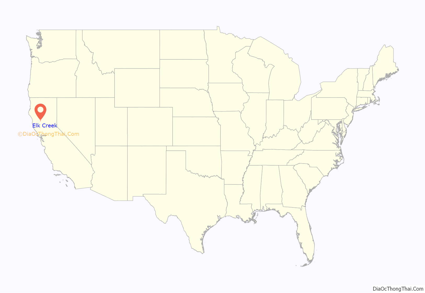
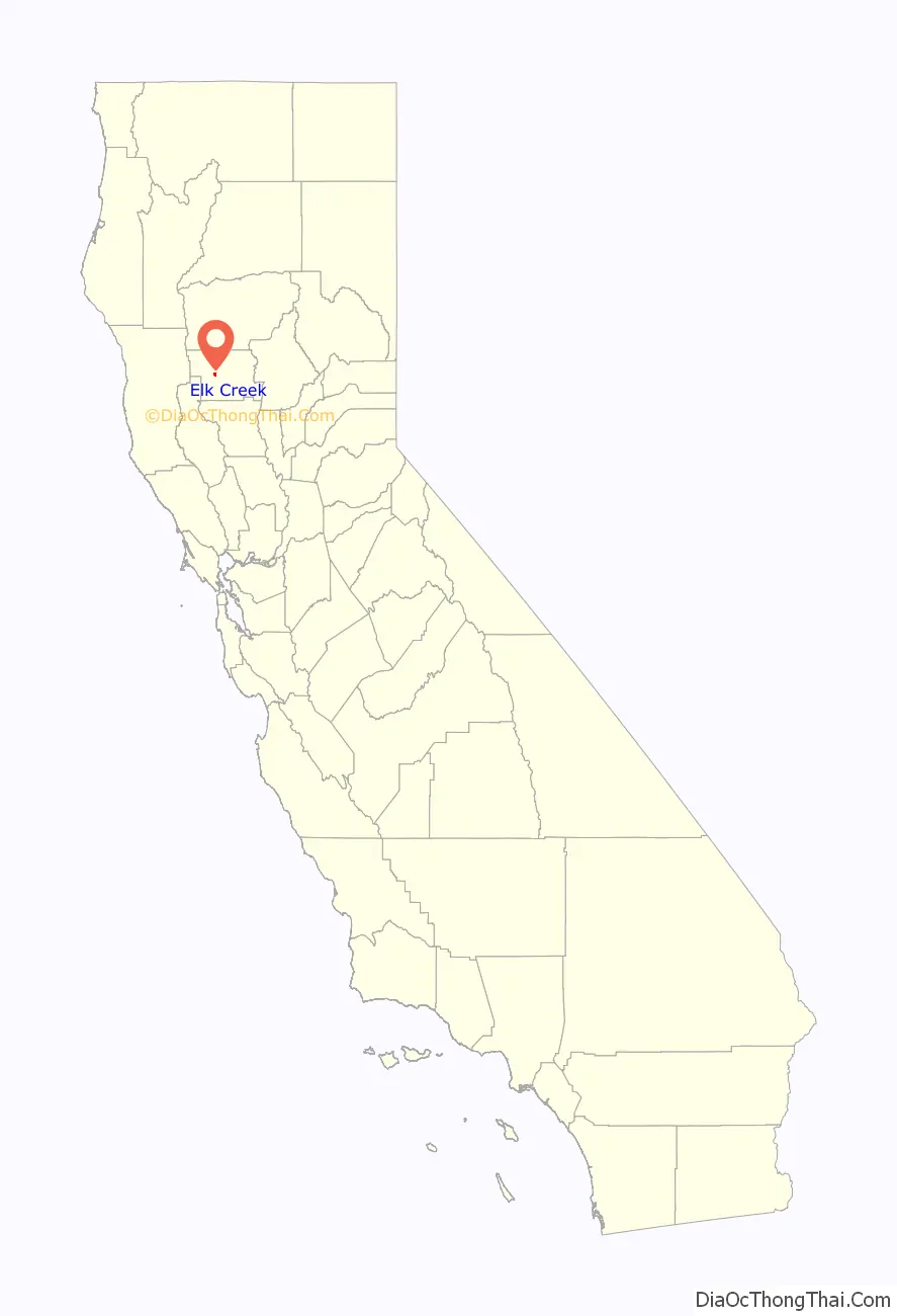
Elk Creek location map. Where is Elk Creek CDP?
Elk Creek Road Map
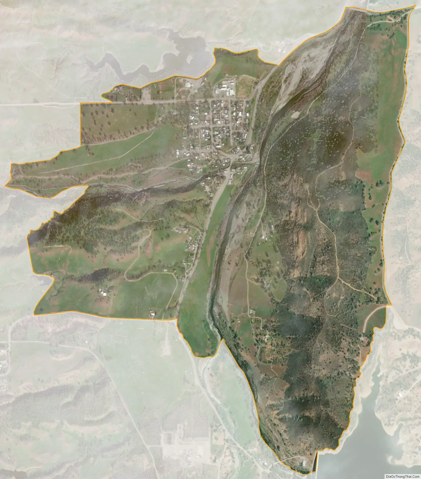
Elk Creek city Satellite Map
See also
Map of California State and its subdivision:- Alameda
- Alpine
- Amador
- Butte
- Calaveras
- Colusa
- Contra Costa
- Del Norte
- El Dorado
- Fresno
- Glenn
- Humboldt
- Imperial
- Inyo
- Kern
- Kings
- Lake
- Lassen
- Los Angeles
- Madera
- Marin
- Mariposa
- Mendocino
- Merced
- Modoc
- Mono
- Monterey
- Napa
- Nevada
- Orange
- Placer
- Plumas
- Riverside
- Sacramento
- San Benito
- San Bernardino
- San Diego
- San Francisco
- San Joaquin
- San Luis Obispo
- San Mateo
- Santa Barbara
- Santa Clara
- Santa Cruz
- Shasta
- Sierra
- Siskiyou
- Solano
- Sonoma
- Stanislaus
- Sutter
- Tehama
- Trinity
- Tulare
- Tuolumne
- Ventura
- Yolo
- Yuba
- Alabama
- Alaska
- Arizona
- Arkansas
- California
- Colorado
- Connecticut
- Delaware
- District of Columbia
- Florida
- Georgia
- Hawaii
- Idaho
- Illinois
- Indiana
- Iowa
- Kansas
- Kentucky
- Louisiana
- Maine
- Maryland
- Massachusetts
- Michigan
- Minnesota
- Mississippi
- Missouri
- Montana
- Nebraska
- Nevada
- New Hampshire
- New Jersey
- New Mexico
- New York
- North Carolina
- North Dakota
- Ohio
- Oklahoma
- Oregon
- Pennsylvania
- Rhode Island
- South Carolina
- South Dakota
- Tennessee
- Texas
- Utah
- Vermont
- Virginia
- Washington
- West Virginia
- Wisconsin
- Wyoming