Fairfax is an incorporated town in Marin County, California, United States. Fairfax is located 3.25 miles (5.2 km) west-northwest of San Rafael, at an elevation of 115 feet (35 m). The population was 7,605 at the 2020 census.
| Name: | Fairfax town |
|---|---|
| LSAD Code: | 43 |
| LSAD Description: | town (suffix) |
| State: | California |
| County: | Marin County |
| Incorporated: | March 2, 1931 |
| Elevation: | 115 ft (35 m) |
| Total Area: | 2.23 sq mi (5.8 km²) |
| Land Area: | 2.23 sq mi (5.8 km²) |
| Water Area: | 0.00 sq mi (0.0 km²) 0% |
| Total Population: | 7,605 |
| Population Density: | 3,400/sq mi (1,300/km²) |
| ZIP code: | 94930, 94978 |
| FIPS code: | 0623168 |
| Website: | town-of-fairfax.org |
Online Interactive Map
Click on ![]() to view map in "full screen" mode.
to view map in "full screen" mode.
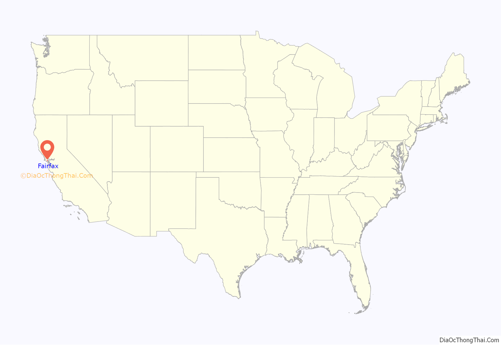
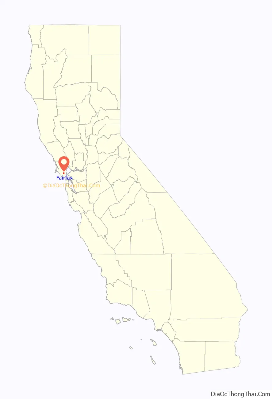
Fairfax location map. Where is Fairfax town?
History
The Coast Miwok Native Americans occupied stretches along local creeks, spring and seep areas; moreover, prehistoric habitations were usually chosen near permanent and seasonal drainages, typically along flat ridges and terraces.
The town was named for Lord Charles Snowden Fairfax. In 1861, Fairfax was the site of the last political duel in California. Daniel Showalter and Charles W. Piercy, both former assemblymen in the state legislature, decided to settle a political dispute at the home of Lord Fairfax, a mutual friend. Although Fairfax provided lunch to both men and tried to talk them out of it, they eventually headed to an open field nearby and dueled, with Showalter killing Piercy.
The first post office opened in 1910. Fairfax became an incorporated town in 1931.
On May 16, 1946, a B-17 Flying Fortress bomber, crashed on White’s Hill just west of Fairfax.
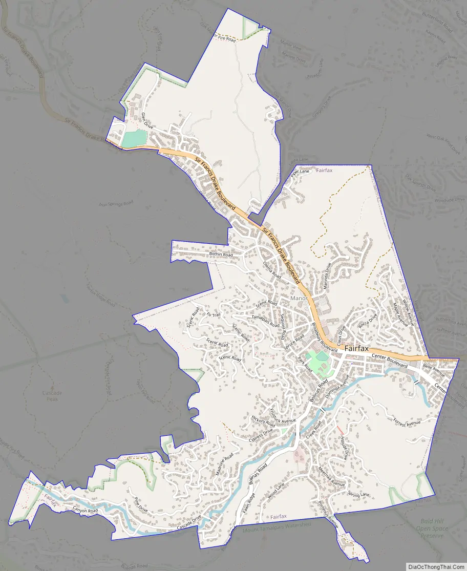
Fairfax Road Map
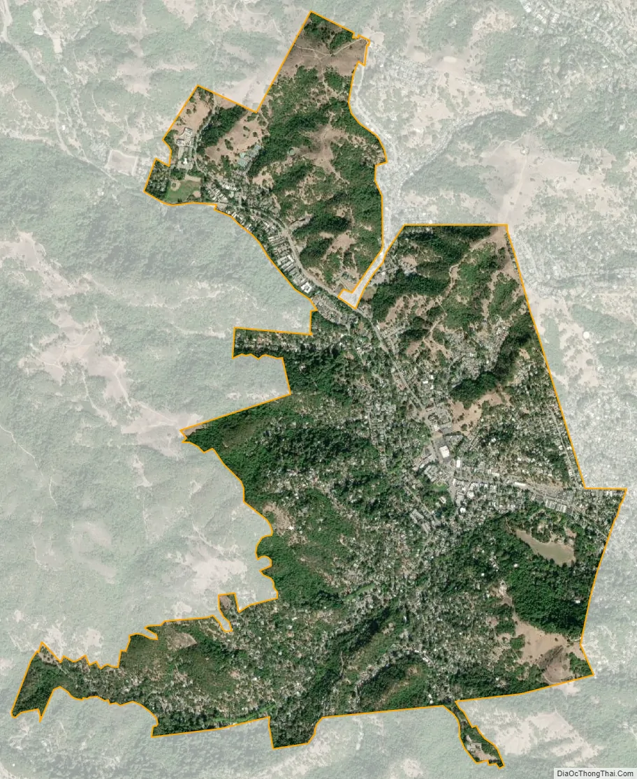
Fairfax city Satellite Map
Geography
Fairfax is in eastern Marin County, bordered to the east by San Anselmo and to the north by unincorporated Sleepy Hollow. The community lies in the valleys of San Anselmo Creek and its tributary Fairfax Creek, and climbs the surrounding hills. It is bordered to the south by the Mount Tamalpais protected watershed.
According to the United States Census Bureau, the town has a total area of 2.2 square miles (5.7 km), all of it recorded as land.
Soils in the Fairfax area mostly belong to the Tocaloma Series as classified by the U.S. Soil Conservation Service. These soils consist of moderately deep, well-drained soils on uplands. These soils are typically formed from sandstone and shale and often occur on slopes ranging above 15 percent.
See also
Map of California State and its subdivision:- Alameda
- Alpine
- Amador
- Butte
- Calaveras
- Colusa
- Contra Costa
- Del Norte
- El Dorado
- Fresno
- Glenn
- Humboldt
- Imperial
- Inyo
- Kern
- Kings
- Lake
- Lassen
- Los Angeles
- Madera
- Marin
- Mariposa
- Mendocino
- Merced
- Modoc
- Mono
- Monterey
- Napa
- Nevada
- Orange
- Placer
- Plumas
- Riverside
- Sacramento
- San Benito
- San Bernardino
- San Diego
- San Francisco
- San Joaquin
- San Luis Obispo
- San Mateo
- Santa Barbara
- Santa Clara
- Santa Cruz
- Shasta
- Sierra
- Siskiyou
- Solano
- Sonoma
- Stanislaus
- Sutter
- Tehama
- Trinity
- Tulare
- Tuolumne
- Ventura
- Yolo
- Yuba
- Alabama
- Alaska
- Arizona
- Arkansas
- California
- Colorado
- Connecticut
- Delaware
- District of Columbia
- Florida
- Georgia
- Hawaii
- Idaho
- Illinois
- Indiana
- Iowa
- Kansas
- Kentucky
- Louisiana
- Maine
- Maryland
- Massachusetts
- Michigan
- Minnesota
- Mississippi
- Missouri
- Montana
- Nebraska
- Nevada
- New Hampshire
- New Jersey
- New Mexico
- New York
- North Carolina
- North Dakota
- Ohio
- Oklahoma
- Oregon
- Pennsylvania
- Rhode Island
- South Carolina
- South Dakota
- Tennessee
- Texas
- Utah
- Vermont
- Virginia
- Washington
- West Virginia
- Wisconsin
- Wyoming


