Fairmead is a census-designated place in Madera County, California, United States. It is located 11 miles (18 km) northwest of Madera, at an elevation of 253 feet (77 m), and bordered to the northwest by Chowchilla. The population was 1,235 at the 2020 census.
A post office operated at Fairmead from 1913 to 1940. The community is impacted by the California High-Speed Rail, as the planned route will dislocate residents.
| Name: | Fairmead CDP |
|---|---|
| LSAD Code: | 57 |
| LSAD Description: | CDP (suffix) |
| State: | California |
| County: | Madera County |
| Elevation: | 253 ft (77 m) |
| Total Area: | 8.360 sq mi (21.652 km²) |
| Land Area: | 8.360 sq mi (21.652 km²) |
| Water Area: | 0 sq mi (0 km²) 0% |
| Total Population: | 1,235 |
| Population Density: | 150/sq mi (57/km²) |
| ZIP code: | 93610 (Chowchilla) |
| FIPS code: | 0623210 |
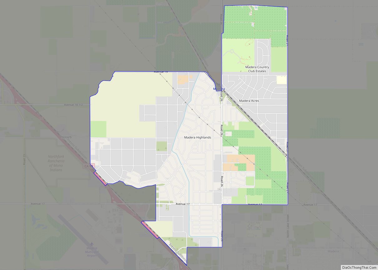
Online Interactive Map
Click on ![]() to view map in "full screen" mode.
to view map in "full screen" mode.
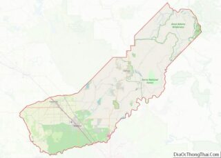
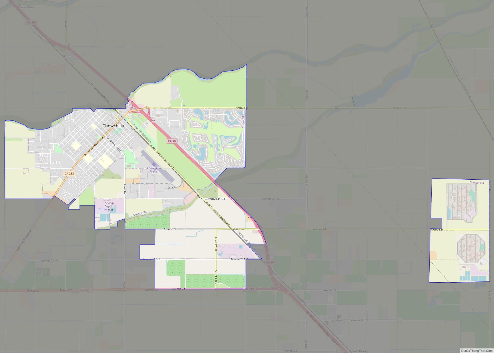
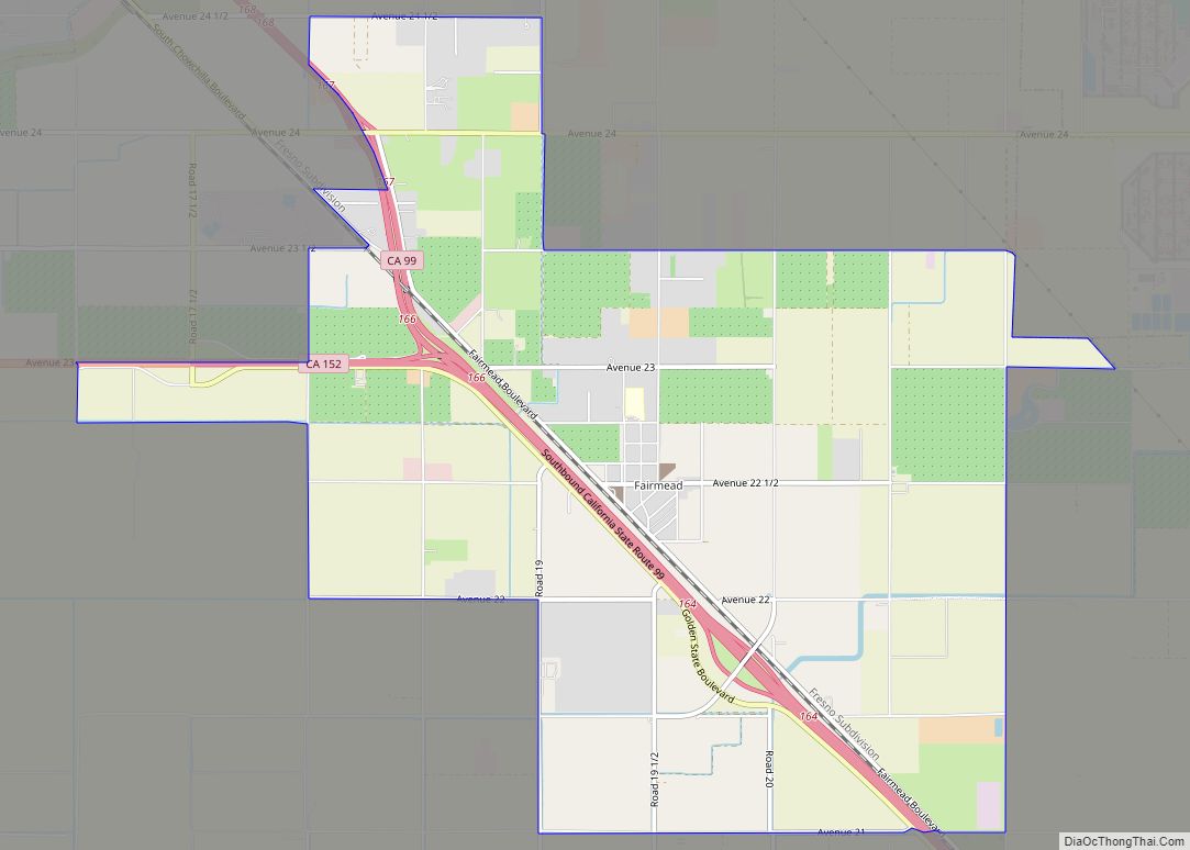
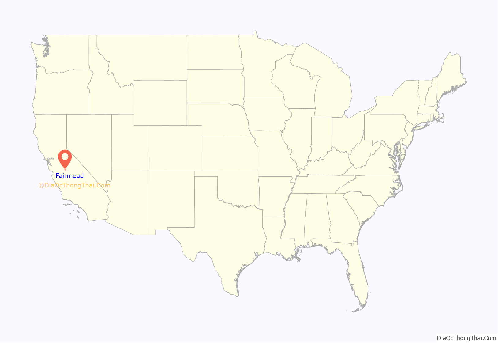
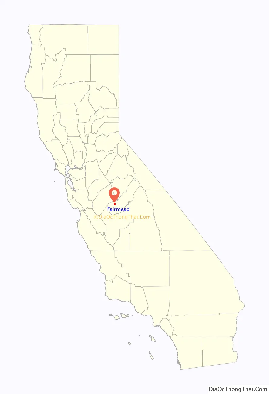
Fairmead location map. Where is Fairmead CDP?
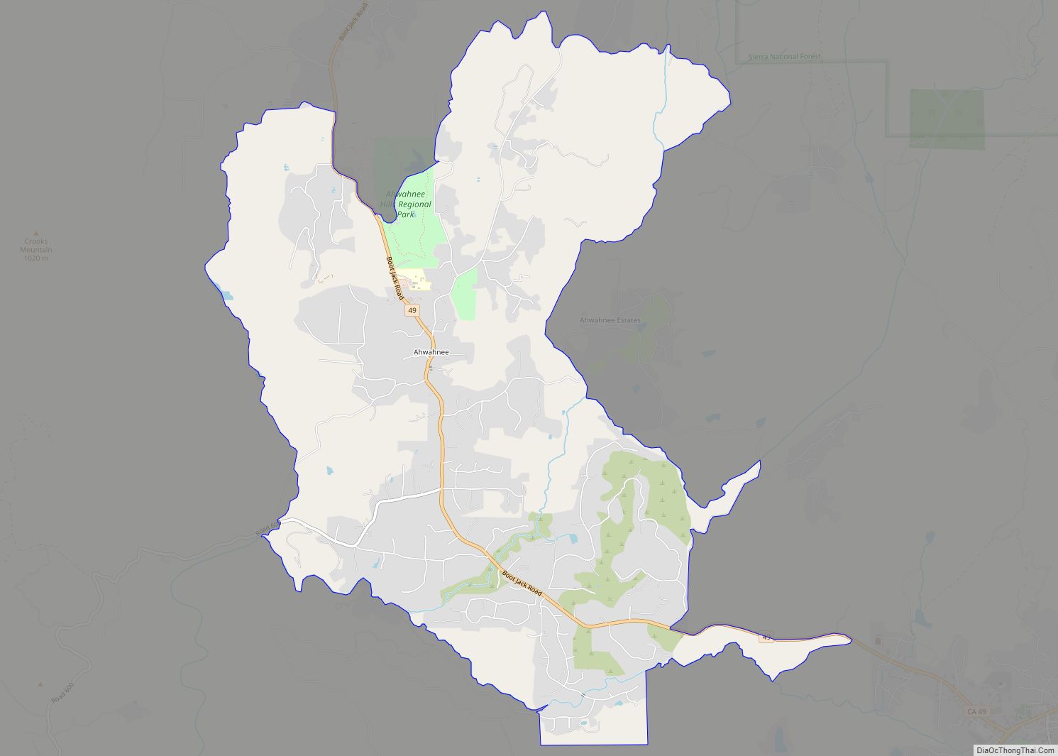
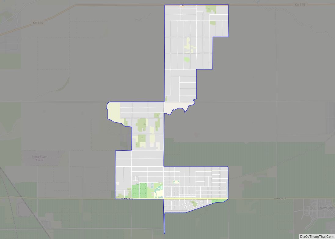
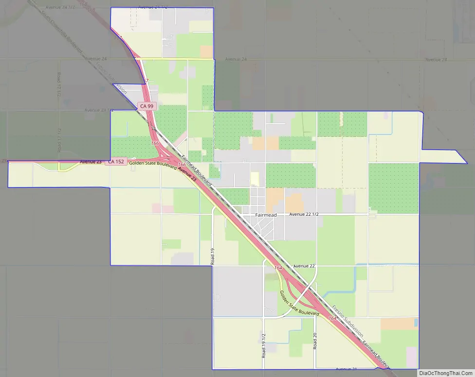
Fairmead Road Map
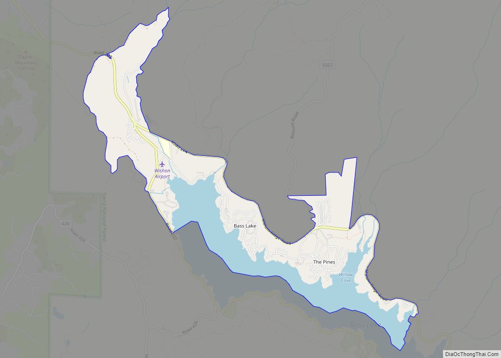
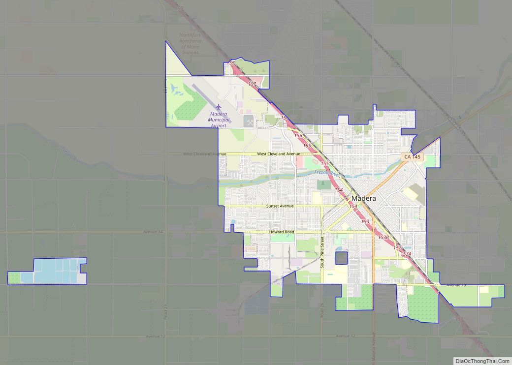
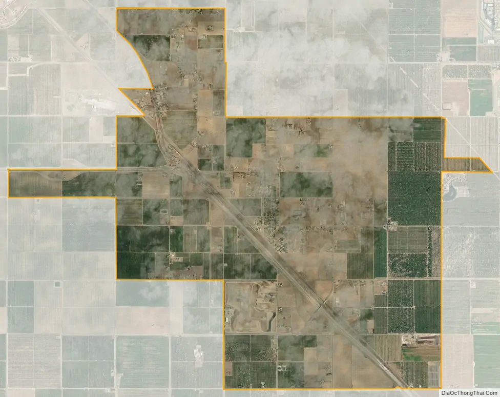
Fairmead city Satellite Map
See also
Map of California State and its subdivision:- Alameda
- Alpine
- Amador
- Butte
- Calaveras
- Colusa
- Contra Costa
- Del Norte
- El Dorado
- Fresno
- Glenn
- Humboldt
- Imperial
- Inyo
- Kern
- Kings
- Lake
- Lassen
- Los Angeles
- Madera
- Marin
- Mariposa
- Mendocino
- Merced
- Modoc
- Mono
- Monterey
- Napa
- Nevada
- Orange
- Placer
- Plumas
- Riverside
- Sacramento
- San Benito
- San Bernardino
- San Diego
- San Francisco
- San Joaquin
- San Luis Obispo
- San Mateo
- Santa Barbara
- Santa Clara
- Santa Cruz
- Shasta
- Sierra
- Siskiyou
- Solano
- Sonoma
- Stanislaus
- Sutter
- Tehama
- Trinity
- Tulare
- Tuolumne
- Ventura
- Yolo
- Yuba
- Alabama
- Alaska
- Arizona
- Arkansas
- California
- Colorado
- Connecticut
- Delaware
- District of Columbia
- Florida
- Georgia
- Hawaii
- Idaho
- Illinois
- Indiana
- Iowa
- Kansas
- Kentucky
- Louisiana
- Maine
- Maryland
- Massachusetts
- Michigan
- Minnesota
- Mississippi
- Missouri
- Montana
- Nebraska
- Nevada
- New Hampshire
- New Jersey
- New Mexico
- New York
- North Carolina
- North Dakota
- Ohio
- Oklahoma
- Oregon
- Pennsylvania
- Rhode Island
- South Carolina
- South Dakota
- Tennessee
- Texas
- Utah
- Vermont
- Virginia
- Washington
- West Virginia
- Wisconsin
- Wyoming